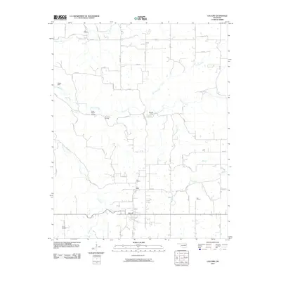
2010 Map of Colcord
USGS Topo · Published 2010About this map
Colcord and the nearby community of Row anchor this corner of Delaware County, where the Ozark foothills begin to roll toward the Oklahoma plains. The landscape is defined by the winding course of Spavinaw Creek and several distinct hollows, including the curiously named Crazy Nance Hollow, Beartoter Hollow, and Beamer Hollow. These valleys and the drainage basins of Hog Eye Creek and Cherokee Creek dictated the placement of early homesteads and cemeteries. For genealogists, the map is a vital record of local family history, preserving the locations of the Ofield Cemetery, Row Cemetery, and Beck Cemetery. High ground like Eagles Bluff overlooks a network of rural roads that connect these small settlements to the broader region.
Find a feature on this map
52 named features on this map. Tap any name to fly to it.
Don’t see what you’re looking for? This feature index may not catch every label — zoom into the map to look around manually.
Map Details
Editions of this 2010 Colcord Map
This is the sole edition of this map. No revisions or reprints were ever made.
Other maps of this area

1899 · Siloam Springs
USGS Topo · 1:125,000

1903 · Siloam Springs
USGS Topo · 1:125,000

1904 · Siloam Springs
USGS Topo · 1:125,000

1954 · Tulsa
USGS Topo · 1:250,000

1958 · Tulsa
USGS Topo · 1:250,000

1963 · Tulsa
USGS Topo · 1:250,000

1971 · Jay SE
USGS Topo · 1:24,000
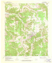
1971 · Jay
USGS Topo · 1:24,000
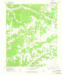
1971 · Sycamore
USGS Topo · 1:24,000
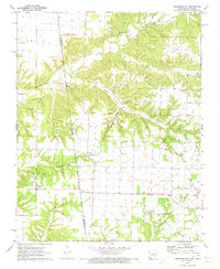
1971 · Cherokee City
USGS Topo · 1:24,000