Old Maps of Grove, Oklahoma for Metal Detecting
Plan your next treasure hunt with 24 historic maps of Grove. Find old homesites, ghost towns, trails, and gathering spots that may be lost to time — perfect for identifying promising metal detecting locations.
- Locate forgotten sites: Uncover places like long-lost settlements, abandoned rail lines, or gathering spots.
- Plan better hunts: Use map overlays combined with LiDAR or satellite views to narrow in on historically rich areas.
- Made for detectorists: Thousands of hobbyists use these maps to discover relics, coins, and hidden history.
Use these historic maps to boost your research and find new opportunities beneath the surface of Grove.
Grove, OK maps
(24)- 1907 Map of Wyandotte, 1954 Print
 1907 Wyandotte1954 Print · USGSThe Tri-State border region at the start of the twentieth century shows a landscape of river ferries and early rail towns. Trace the locations of family landmarks like Hickory Grove Church, Goad Eagle Ferry, and rural schools from Afton to Seneca.2 unique versions available
 - 1909 Map of Wyandotte
 1909 Wyandotte1909 Print · USGSNortheastern Oklahoma’s river valleys and prairies are captured here just after statehood, during a period of rapid rail expansion and tribal land transition. Researchers can trace early river crossings like Rodwhite Ferry and locate historic community centers such as Hickory Grove Church or the Bluejacket School.2 unique versions available
 - 1954 Map of Tulsa
 1954 Tulsa1954 Print · USGSNortheast Oklahoma and the Ozark border are shown here during a period of massive industrial and infrastructure growth. Researchers can trace the legacy of the Tri-State Mining District and the development of major reservoirs like Grand Lake O' The Cherokees.2 unique versions available
 - 1958 Map of Tulsa, 1968 Print
 1958 Tulsa1968 Print · USGSNortheast Oklahoma and the Ozark borderlands are captured here during a massive era of reservoir construction and highway expansion. Researchers can trace the mid-century footprints of Tulsa, the sprawling Lake O' the Cherokees, and historical sites like Pea Ridge National Military Park.3 unique versions available
 - 1963 Map of Tulsa
 1963 Tulsa1963 Print · USGSThe Oklahoma and Arkansas borderlands are shown here in the early sixties, a time of massive reservoir construction and heavy mining. Genealogists can trace family roots through settlements like Nowata, Pryor, and Jay, or locate historical zinc and lead mines and coal mines.
 - 1964 Map of Dodge, 1966 Print
 1964 Dodge1966 Print · USGSThe rolling lands of Cow Skin Prairie and the shores of Lake O' the Cherokees appear here in the mid-1960s. Genealogists can trace local roots through numerous sites like Olympus Cem, Dodge Ch, and Pollan Cem.2 unique versions available
 - 1971 Map of Grove, 1973 Print
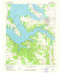 1971 Grove1973 Print · USGSThe Grand Lake shoreline in the early 1970s reveals a landscape of growing recreation and deep-rooted rural history. Genealogists can locate family landmarks like Buzzard Cem, while historians can trace the Old RR Grade and the Seaplane Base near Monkey Island.2 unique versions available
 - 1971 Map of Afton NE, 1973 Print
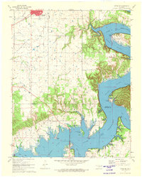 1971 Afton NE1973 Print · USGSNortheastern Oklahoma in the early seventies shows the intersection of the Missouri-Pacific rail lines and the growing shoreline of Grand Lake. You can trace old transit routes like the Old Railroad Grade and locate family landmarks such as St Elizabeth Mission and Fairland Cem.2 unique versions available
 - 1986 Map of Neosho
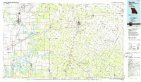 1986 Neosho1986 Print · USGSThe tri-state border region comes alive in the mid-eighties as a landscape of mining heritage and river valleys. Researchers can trace the rail lines of the Kansas City Southern Ry and locate rural landmarks like Gibson Cem and Peoria.2 unique versions available
 - 2010 Map of Dodge, 2010 Print
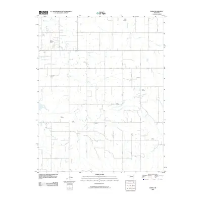 2010 Dodge2010 Print · USGSDelaware County at the start of the 21st century reveals a landscape defined by its rural road grid and quiet creek valleys. Genealogists can locate several family-named burial sites including Olympus Cemetery, Fields Cemetery, and Sloan Cemetery.
 - 2010 Map of Grove, 2010 Print
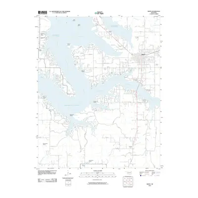 2010 Grove2010 Print · USGSThe eastern shores of Grand Lake O' The Cherokees are shown in detail during the early twenty-first century. Researchers can trace family history at Buzzard Cemetery and Tauuneacie Cemetery or explore the terrain of Courthouse Prairie and Woodward Hollow.
 - 2010 Map of Afton NE, 2010 Print
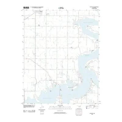 2010 Afton NE2010 Print · USGSNortheastern Oklahoma at the turn of the 21st century reveals a landscape shaped by the waters of the Grand Lake O' The Cherokees. Researchers can locate family roots at Fairland Cemetery or trace the developed shoreline near Copeland and Sulphur Bend.
 - 2012 Map of Dodge, 2012 Print
 2012 Dodge2012 Print · USGSDelaware County at the start of the 2010s reveals a rural landscape deeply tied to family heritage and the waters of the Grand Lake region. Researchers can trace numerous family burial sites such as Butler Cemetery, Scraper Cemetery, and Polson Cemetery.
 - 2012 Map of Afton NE, 2012 Print
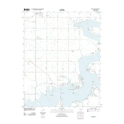 2012 Afton NE2012 Print · USGSThe shorelines of Northeast Oklahoma are captured here in the early twenty-first century as they wrap around the Grand Lake area. Genealogists and local historians can trace the lakeside settlement at Copeland or locate resting places at Fairland Cem and Sulphur Bend Cem.
 - 2012 Map of Grove, 2012 Print
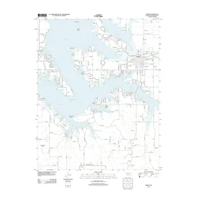 2012 Grove2012 Print · USGSOklahoma's Grand Lake shoreline comes into sharp focus in this recent survey of the area around Grove. Researchers can trace local lineage at Zena Cem and Buzzard Cem or explore the geography of Courthouse Hollow and Sweetwater Prairie.
 - 2016 Map of Dodge, 2016 Print
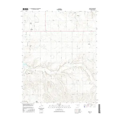 2016 Dodge2016 Print · USGSThe eastern outskirts of Grove and the Grand Lake of the Cherokees shoreline are captured here in the mid-2010s. Researchers can locate numerous family burial grounds like Pollan Cem and Scraper Cem or trace the rural routes to Cayuga and Dodge.
 - 2016 Map of Afton NE, 2016 Print
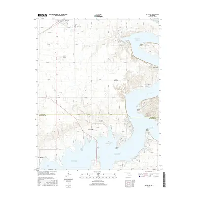 2016 Afton NE2016 Print · USGSThe Grand Lake O' the Cherokees shoreline is captured here in the mid-2010s, showing the complex web of inlets and rural settlements. Researchers can locate family landmarks such as Hickory Grove Cem, Sulphur Bend Cem, and the streets of Fairland.
 - 2016 Map of Grove, 2016 Print
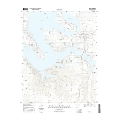 2016 Grove2016 Print · USGSMid-2010s Grove is depicted here as a thriving lakeside community situated along the irregular shoreline of Grand Lake O' the Cherokees. Genealogists and local historians can trace rural family sites near Dennis and Zena, or locate historic burials at Buzzard Cem and Tauuneacie Cem.
 - 2018 Map of Dodge, 2018 Print
 2018 Dodge2018 Print · USGSNortheast Oklahoma near the shores of Grand Lake O' the Cherokees was defined by small rural hubs and family lineages. Genealogists can trace local roots through Polson Cem, Olympus Cem, and the settlement of Dodge.
 - 2018 Map of Afton NE, 2018 Print
 2018 Afton NE2018 Print · USGSDelaware and Ottawa counties are captured here in 2018 as the Grand Lake region continues to grow. Researchers can trace family sites at Hickory Grove Cemetery, locate the lakefront near Wilson Point, and follow the BNSF Railway through Fairland.
 - 2018 Map of Grove, 2018 Print
 2018 Grove2018 Print · USGSGrove and the surrounding lake country appear in high detail during the late 2010s. Researchers can locate family burial sites at Buzzard Cem and Tauneacie Cem or trace the winding shoreline of Grand Lake O' the Cherokees.
 - 2022 Map of Dodge, 2022 Print
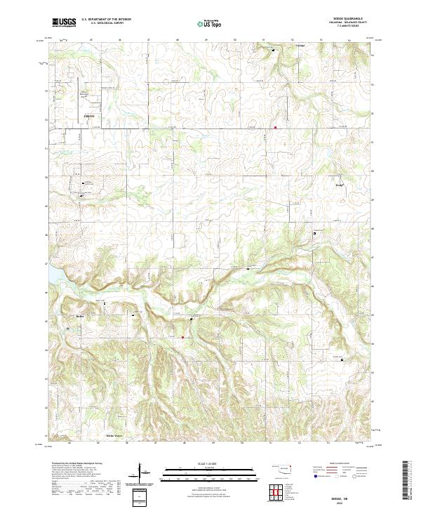 2022 Dodge2022 Print · USGSDelaware County's rural communities and creek-riven hills are documented here in the early 2020s. Genealogists can trace family heritage through local landmarks like Polan Cem, Olympus Cem, and the old settlement sites of Dodge and Cayuga.
 - 2022 Map of Afton NE, 2022 Print
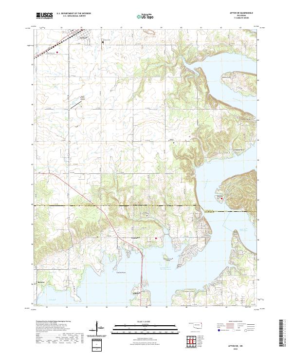 2022 Afton NE2022 Print · USGSNortheastern Oklahoma's lake country is detailed in this recent survey of the transition from the Neosho River to the reservoir. Researchers can pinpoint early burial sites like Hickory Grove Cem and trace the shoreline from Wilson Point to Catfish Point.
 - 2022 Map of Grove, 2022 Print
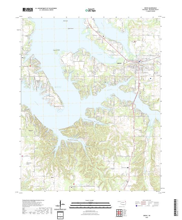 2022 Grove2022 Print · USGSGrove and the winding shores of Grand Lake O' The Cherokees are documented here in the early twenty-first century. Researchers can locate family sites at Zena Cem and Taueneacie Cem or trace the roads through Courthouse Prairie.
End of results
Showing maps 1-24 of 24
Top cities near Grove
- Jay historical maps
- Afton historical maps
- Fairland historical maps
- Southwest City historical maps
- Bernice historical maps
- Wyandotte historical maps
See more
Frequently asked questions
- What are the different types of historical maps available for Grove?
- What is the oldest map of Grove?
- Where can I purchase historical maps of Grove for my home or office?
- Where can I download high-res historical maps of Grove?
- Are there historical topographic maps available for Grove?
- Is there historical aerial imagery available for Grove?
- Where are historical maps of Grove sourced from?