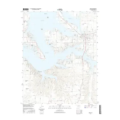
2016 Map of Grove
USGS Topo · Published 2016About this map
The town of Grove serves as the focal point for this 2016 survey of the Delaware County shoreline, where the intricate fingers of Grand Lake O' the Cherokees meet the Oklahoma prairie. The map documents a landscape defined by its peninsulas and sheltered coves, such as Carey Bay and Dilar Cove, alongside significant islands like Monkey Island and Patricia Island. Inland from the lake, the terrain transitions to rural spaces such as Courthouse Prairie and Sweetwater Prairie, where the small settlements of Zena and Dennis are situated. This geographic record is particularly valuable for its documentation of local heritage sites, including the Zena Cem, Buzzard Cem, and Tauuneacie Cem. The transportation network shown reveals how local roads like E 300 Rd and the Grand Lake Regional Airport support both the residential community of Grove and the recreational economy of the surrounding water bodies.
Find a feature on this map
95 named features on this map. Tap any name to fly to it.
Don’t see what you’re looking for? This feature index may not catch every label — zoom into the map to look around manually.
Map Details
Editions of this 2016 Grove Map
This is the sole edition of this map. No revisions or reprints were ever made.
Other maps of this area
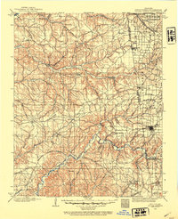
1899 · Siloam Springs
USGS Topo · 1:125,000
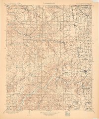
1903 · Siloam Springs
USGS Topo · 1:125,000
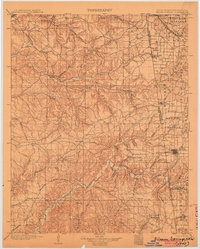
1904 · Siloam Springs
USGS Topo · 1:125,000
1907 · Wyandotte
USGS Topo · 1:125,000
1909 · Wyandotte
USGS Topo · 1:125,000

1954 · Tulsa
USGS Topo · 1:250,000
1958 · Tulsa
USGS Topo · 1:250,000
1963 · Tulsa
USGS Topo · 1:250,000
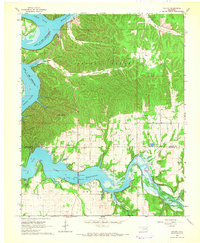
1964 · Cayuga
USGS Topo · 1:24,000
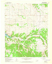
1964 · Dodge
USGS Topo · 1:24,000