Old Maps of Shattuck, Oklahoma for Academic Research
Study the evolution of Shattuck with 15 high-resolution historic maps. Whether you're teaching, researching, or modeling changes in land use, these maps provide essential visual documentation of urban, environmental, and geographic change.
- Analyze long-term change: Track patterns in development, transportation, and natural features.
- Ideal for environmental or urban studies: Support academic projects with primary historical map data.
- Use in the classroom or lab: Educators and researchers rely on these maps to bring historical context to life.
These maps are a powerful tool for teaching, research, and visualizing how Shattuck has changed over the decades.
Shattuck, OK maps
(15)- 1955 Map of Woodward, 1967 Print
 1955 Woodward1967 Print · USGSNorthwest Oklahoma and the bordering plains are captured during the mid-sixties, showing a landscape defined by river valleys and massive water projects. Researchers can trace family roots in towns like Woodward and Alva or locate landmarks such as the Western Oklahoma State Hospital and Kegelman AF.3 unique versions available
 - 1958 Map of Woodward
 1958 Woodward1958 Print · USGSNorthwest Oklahoma and the neighboring panhandle borders are shown here during a period of steady mid-century growth. Researchers can trace the rail networks of the Atchison Topeka and Santa Fe and locate landmarks like the Western Oklahoma State Hospital and Port Supply Reservoir.2 unique versions available
 - 1969 Map of Shattuck, 1971 Print
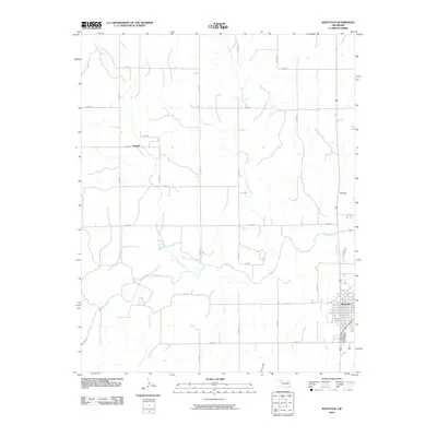
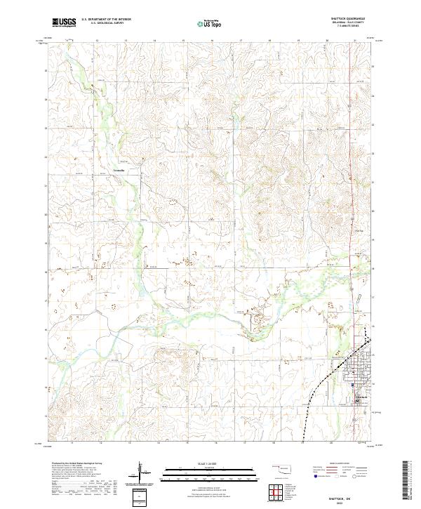
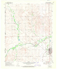 1969 Shattuck1971 Print · USGSShattuck and western Ellis County appear at a point of steady growth in the late sixties, where the high plains meet the valley of Wolf Creek. Researchers can trace the path of the Atchison Topeka and Santa Fe railroad or locate local landmarks like Touzalin and the Shattuck Airport.2 unique versions available
 - 1969 Map of Gage, 1971 Print
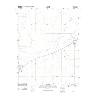
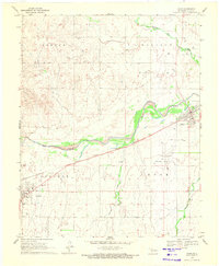 1969 Gage1971 Print · USGSGage and Shattuck appear here in the late sixties, connected by the vital rail line of the Atchison Topeka and Santa Fe. Genealogists and local historians can locate the Gage Cem and trace the paths of Wolf Creek and Willow Creek.
 - 1985 Map of Woodward
 1985 Woodward1985 Print · USGSNorthwest Oklahoma during the mid-eighties shows a landscape defined by cattle country, energy production, and historic rail towns. Researchers can trace the Old Indian Treaty Boundary and find local landmarks like Crystal Beach Lake and Boiling Springs State Park.2 unique versions available
 - 2010 Map of Gage, 2010 Print
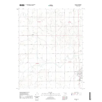
 2010 Gage2010 Print · USGSCovers Shattuck, including Gage, Ellis County, and other nearby areas
 - 2010 Map of Shattuck, 2010 Print
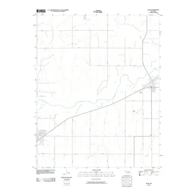
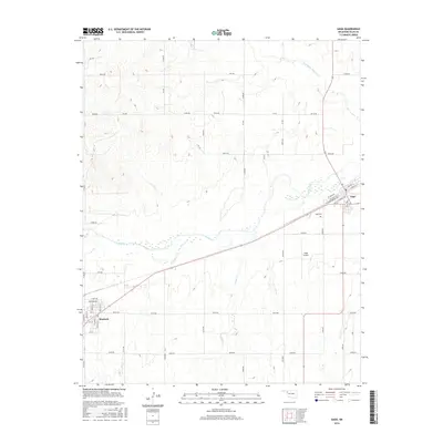
 2010 Shattuck2010 Print · USGSCovers Shattuck, including Touzalin, Ellis County, and other nearby areas
 - 2012 Map of Shattuck, 2012 Print
 2012 Shattuck2012 Print · USGSCovers Shattuck, including Touzalin, Ellis County, and other nearby areas
 - 2012 Map of Gage, 2012 Print
 2012 Gage2012 Print · USGSCovers Shattuck, including Gage, Ellis County, and other nearby areas
 - 2016 Map of Shattuck, 2016 Print
 2016 Shattuck2016 Print · USGSCovers Shattuck, including Touzalin, Ellis County, and other nearby areas
 - 2016 Map of Gage, 2016 Print
 2016 Gage2016 Print · USGSCovers Shattuck, including Gage, Ellis County, and other nearby areas
 - 2018 Map of Gage, 2018 Print
 2018 Gage2018 Print · USGSCovers Shattuck, including Gage, Ellis County, and other nearby areas
 - 2018 Map of Shattuck, 2018 Print
 2018 Shattuck2018 Print · USGSCovers Shattuck, including Touzalin, Ellis County, and other nearby areas
 - 2022 Map of Shattuck, 2022 Print
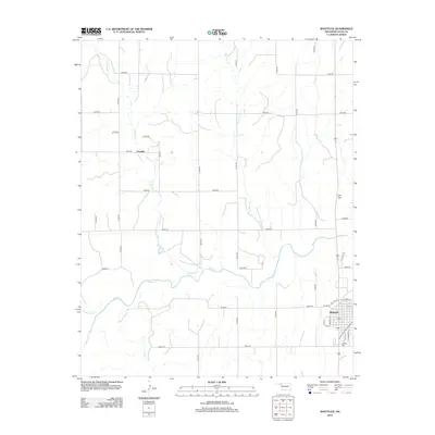
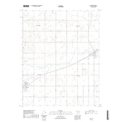
 2022 Shattuck2022 Print · USGSOklahoma's western plains are documented here in the early twenty-first century as the landscape around Shattuck continues its long agricultural history. Researchers can locate family plots at Shattuck Cem or trace the rural crossroads of Touzalin near Wolf Cr.
 - 2022 Map of Gage, 2022 Print
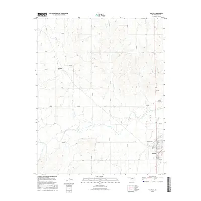
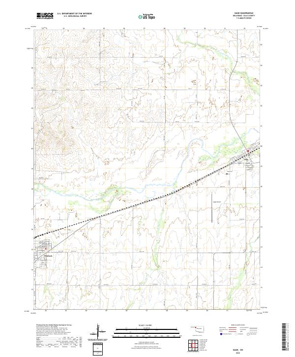 2022 Gage2022 Print · USGSWestern Oklahoma’s high plains are captured here in the early twenty-first century as they stretch between two Ellis County towns. Researchers can trace local landmarks like Gage Cemetery, the Gage Airport, and the rail-aligned streets of Gage and Shattuck.
End of results
Showing maps 1-15 of 15
Top cities near Shattuck
Frequently asked questions
- What are the different types of historical maps available for Shattuck?
- What is the oldest map of Shattuck?
- Where can I purchase historical maps of Shattuck for my home or office?
- Where can I download high-res historical maps of Shattuck?
- Are there historical topographic maps available for Shattuck?
- Is there historical aerial imagery available for Shattuck?
- Where are historical maps of Shattuck sourced from?