2020s Maps of Pauls Valley, Oklahoma
Explore 4 historic maps of Pauls Valley from the 2020s. These maps offer a rare glimpse into what life looked like during the 2020s — showing old roads, neighborhoods, homes, and landmarks that have changed or disappeared over time.
Whether you're researching your family's past, planning a metal detecting trip, or studying how Pauls Valley's landscape evolved across the 2020s, these high-resolution maps are a powerful tool for exploring the history of this region.
- Focus on a specific era: All maps on this page are from the 2020s, giving you a focused view of this time period.
- See what’s changed: Compare century-old streets, trails, and buildings to today's modern landscape using overlays and satellite layers.
- Research with precision: Use these maps for genealogy, historical research, land use analysis, or educational projects.
- View, download, or print: Maps are fully viewable online in high resolution, and can be downloaded or printed for your own records.
Start exploring Pauls Valley's history through authentic maps from the 2020s. This is your window into the past.
Pauls Valley, OK maps
(4)- 2022 Map of Elmore City NE, 2022 Print
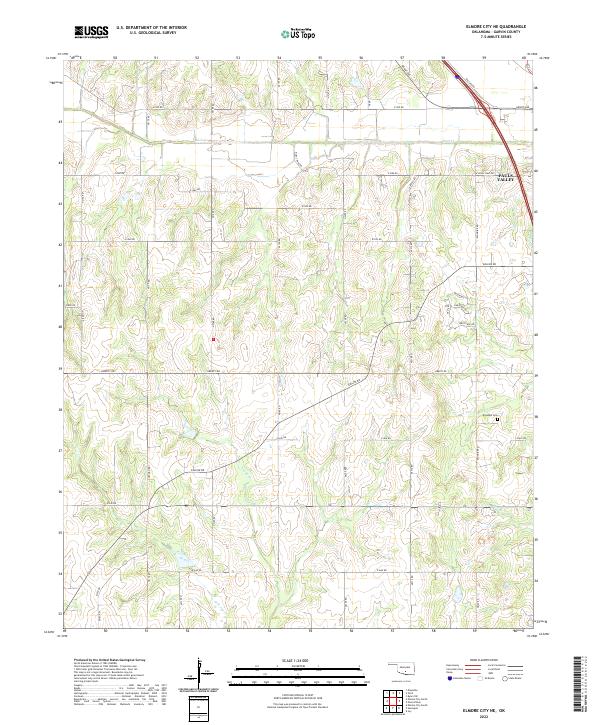 2022 Elmore City NE2022 Print · USGSGarvin County's rural landscape is captured here in the early twenty-first century as agricultural fields meet the fringes of local growth. Genealogists and local historians can locate Klondike Cem or trace the drainage of Rush Cr and Sandy Cr through the township sections.
 - 2022 Map of Paoli, 2022 Print
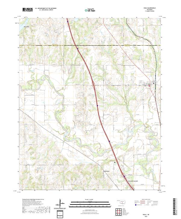 2022 Paoli2022 Print · USGSGarvin and McClain Counties are shown in the 2020s as the river-carved landscape around Paoli continues its long agricultural history. Genealogists and historians can trace family locations near Whitebead Cem, Florence Cem, and the oxbows of the Washita River.
 - 2022 Map of Pauls Valley, 2022 Print
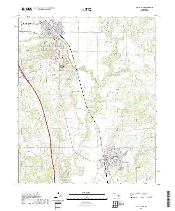 2022 Pauls Valley2022 Print · USGSThe Washita River valley in Garvin County remains a central Oklahoma hub for transportation and agriculture in the early twenty-first century. Researchers can trace family history at The Old Cem and Mount Olivet Cem or locate the historic Garvin County Courthouse in Pauls Valley.
 - 2022 Map of Byars SW, 2022 Print
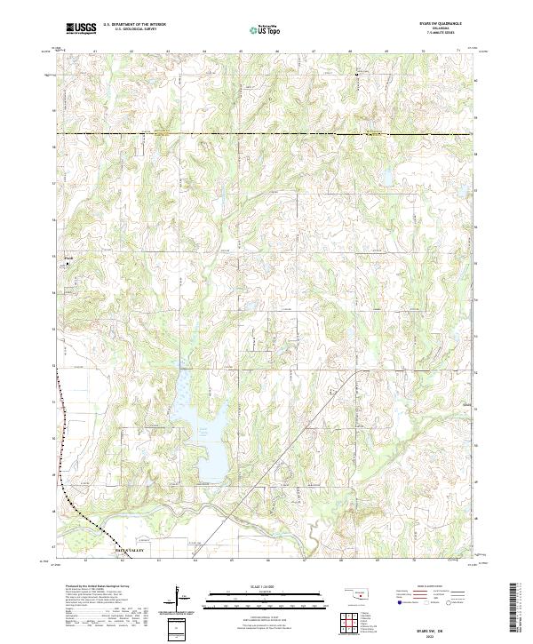 2022 Byars SW2022 Print · USGSThe Garvin County countryside north of the Washita River comes into focus in this recent survey of the prairie and creek valleys. Genealogists and local historians can trace the family lands near Paoli and Civit, or locate the Paoli Cem and Fort Family Cem.
End of results
Showing maps 1-4 of 4
Top cities near Pauls Valley
- Sulphur historical maps
- Wynnewood historical maps
- Maysville historical maps
- Elmore City historical maps
- Wayne historical maps
- Paoli historical maps
See more
Frequently asked questions
- What are the different types of historical maps available for Pauls Valley?
- What is the oldest map of Pauls Valley?
- Where can I purchase historical maps of Pauls Valley for my home or office?
- Where can I download high-res historical maps of Pauls Valley?
- Are there historical topographic maps available for Pauls Valley?
- Is there historical aerial imagery available for Pauls Valley?
- Where are historical maps of Pauls Valley sourced from?