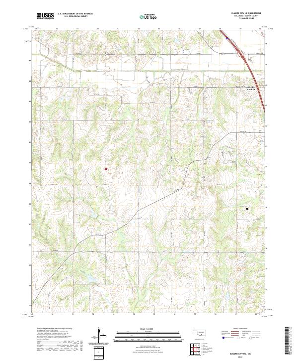
2022 Map of Elmore City NE
USGS Topo · Published 2022About this map
Klondike Cem serves as a quiet landmark in the southeastern portion of this Garvin County landscape, illustrating the enduring presence of local rural heritage. The terrain is defined by the drainage patterns of Rush Cr in the north and Sandy Cr further south, with Red Br cutting through the lower elevations. The edge of Pauls Valley appears in the northeast corner, where the transition from municipal outskirts to agricultural land is marked by a grid of rural routes including Grant Ave and Ballard Rd. A network of section-line roads like Liberty Rd and diagonal crossings such as Airline Rd reveal the geometric division of the territory into townships including t3n r1w and t2n r2w, reflecting the systematic land organization of central Oklahoma.
Find a feature on this map
27 named features on this map. Tap any name to fly to it.
Don’t see what you’re looking for? This feature index may not catch every label — zoom into the map to look around manually.
Map Details
Editions of this 2022 Elmore City NE Map
This is the sole edition of this map. No revisions or reprints were ever made.
Other maps of this area

1898 · Pauls Valley
USGS Topo · 1:125,000

1902 · Pauls Valley
USGS Topo · 1:125,000

1957 · Ardmore
USGS Topo · 1:250,000

1963 · Ardmore
USGS Topo · 1:250,000

1965 · Byars SW
USGS Topo · 1:24,000

1965 · Pauls Valley
USGS Topo · 1:24,000

1965 · Maysville
USGS Topo · 1:24,000

1965 · Joy
USGS Topo · 1:24,000

1965 · Paoli
USGS Topo · 1:24,000

1969 · Hennepin
USGS Topo · 1:24,000