
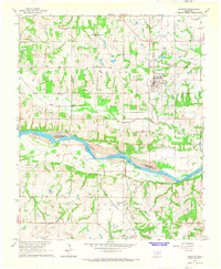
1965 Map of Byars SW
USGS Topo · Published 1966About this map
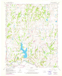
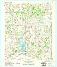
The Washita River floodplain and the Pauls Valley Oil Field define the economic landscape of this mid-1960s Garvin County survey. The Indian Meridian runs vertically along the western edge, anchoring the legal land descriptions of a region transitioning from raw river bottom to managed resources. Pauls Valley serves as the regional hub, situated where the Atchison Topeka and Santa Fe railroad crosses the river. The map details the rural character of the uplands through a network of country churches like Free Holiness Ch and Bethel Ch, alongside small cemeteries such as Blue Branch Cem. The creation of Pauls Valley Lake in the center of the sheet reflects mid-century water management efforts, while the inclusion of the Fairground and local parks highlights the civic life of the era.
Find a feature on this map
26 named features on this map. Tap any name to fly to it.
Don’t see what you’re looking for? This feature index may not catch every label — zoom into the map to look around manually.
Map Details
Editions of this 1965 Byars SW Map
3 editions found
Other maps of this area

1898 · Pauls Valley
USGS Topo · 1:125,000

1902 · Pauls Valley
USGS Topo · 1:125,000

1957 · Ardmore
USGS Topo · 1:250,000

1963 · Ardmore
USGS Topo · 1:250,000

1964 · Byars
USGS Topo · 1:24,000

1965 · Pauls Valley NE
USGS Topo · 1:24,000
1965 · Rosedale
USGS Topo · 1:24,000
1965 · Wayne
USGS Topo · 1:24,000

1965 · Pauls Valley
USGS Topo · 1:24,000
1965 · Wanette
USGS Topo · 1:24,000