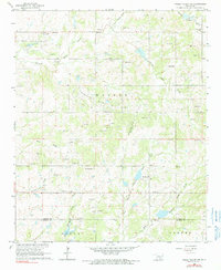
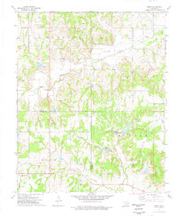
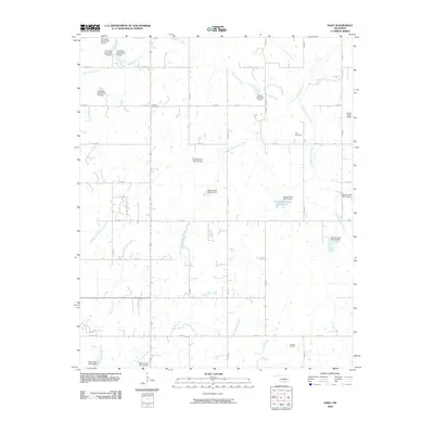
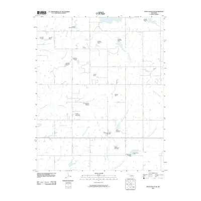
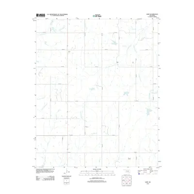
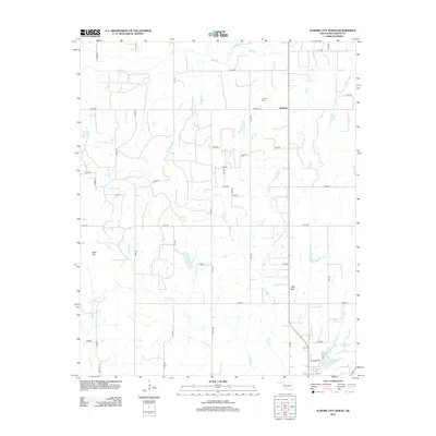
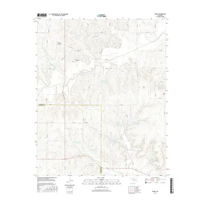
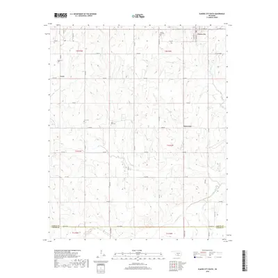
1965 Map of Byars SW
USGS Topo · Published 1988About this map
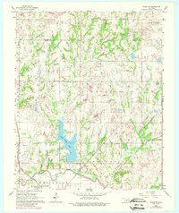
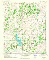
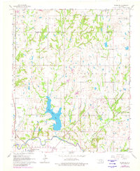
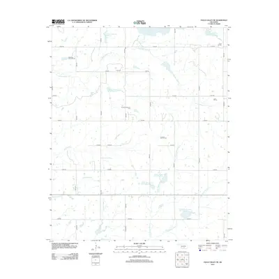
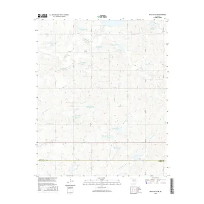
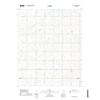
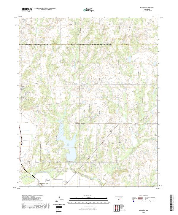
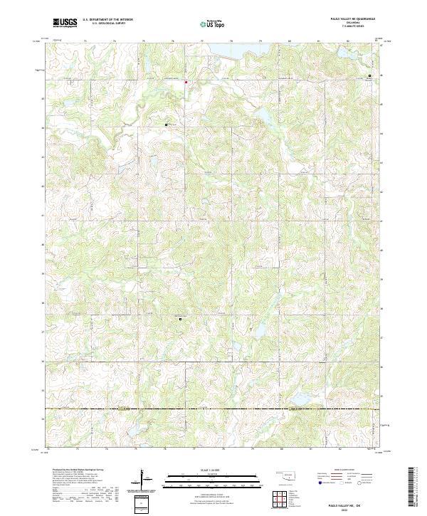
Pauls Valley Lake dominates the central landscape of this Garvin County survey, acting as a focal point for the surrounding rural sections. The Washita River snakes along the southern edge, paralleled by the prominent corridor of the Atchison Topeka and Santa Fe railroad. This transportation artery and the nearby Pauls Valley Oil Field suggest an economy rooted in both resource extraction and efficient rail transit during the mid-1960s. Scattered throughout the townships are essential community anchors, including the Free Holiness Ch, Bethel Ch, and Valley View Ch. The northern boundary with McClain County is defined by the drainages of Canadian Sandy Creek and Washington Creek, while local landmarks like the Fairground and Paoli Cem provide specific points of interest for those researching family history in the area.
Find a feature on this map
29 named features on this map. Tap any name to fly to it.
Don’t see what you’re looking for? This feature index may not catch every label — zoom into the map to look around manually.
Map Details
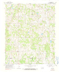
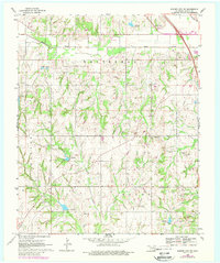
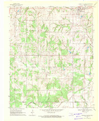
Editions of this 1965 Byars SW Map
3 editions found
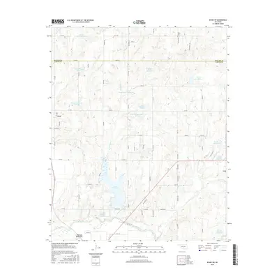
Historical Maps of Pauls Valley Through Time
48 maps found
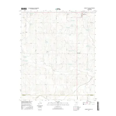
1965 Byars SW
Garvin County, OK
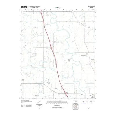
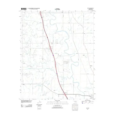
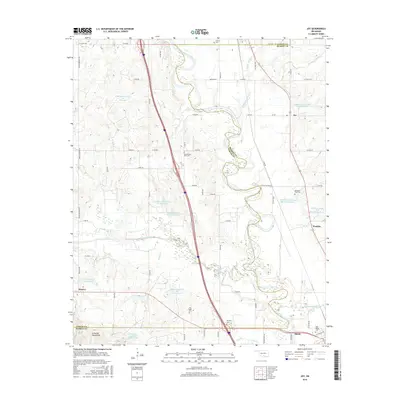
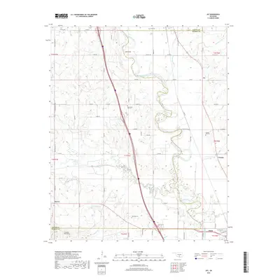
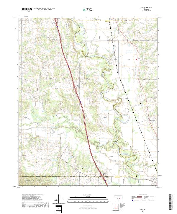
1965 Joy
Garvin County, OK
1965 Pauls Valley NE
Garvin County, OK
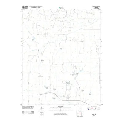
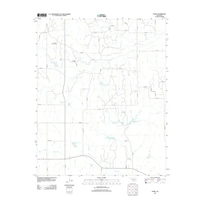
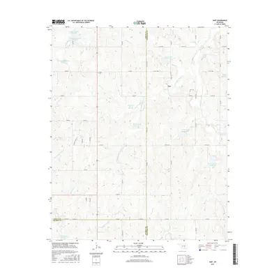
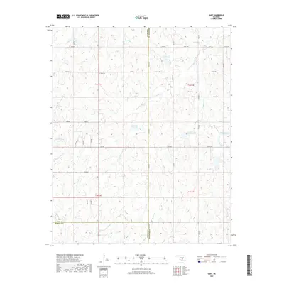
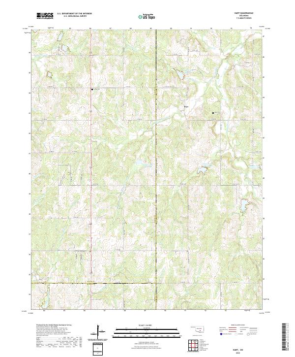
1967 Hart
Garvin County, OK
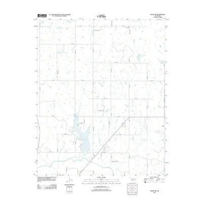
1969 Elmore City NE
Garvin County, OK

1969 Elmore City North
Garvin County, OK
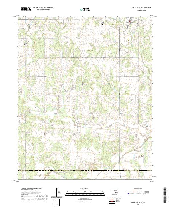
1969 Elmore City South
Garvin County, OK
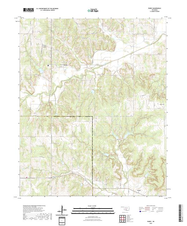
1974 Purdy
Garvin County, OK
2009 Byars SW
Garvin County, OK
2009 Elmore City North
Garvin County, OK
2009 Elmore City South
Garvin County, OK
2009 Hart
Garvin County, OK
2009 Joy
Garvin County, OK
2009 Purdy
Garvin County, OK
2010 Elmore City NE
Garvin County, OK
2010 Pauls Valley NE
Garvin County, OK
2012 Byars SW
Garvin County, OK
2012 Elmore City NE
Garvin County, OK
2012 Elmore City South
Garvin County, OK
2012 Hart
Garvin County, OK
2012 Joy
Garvin County, OK
2012 Pauls Valley NE
Garvin County, OK
2012 Purdy
Garvin County, OK
2013 Elmore City North
Garvin County, OK
2016 Byars SW
Garvin County, OK
2016 Elmore City NE
Garvin County, OK
2016 Elmore City North
Garvin County, OK
2016 Elmore City South
Garvin County, OK
2016 Hart
Garvin County, OK
2016 Joy
Garvin County, OK
2016 Pauls Valley NE
Garvin County, OK
2016 Purdy
Garvin County, OK
2018 Byars SW
Garvin County, OK
2018 Elmore City NE
Garvin County, OK
2018 Elmore City North
Garvin County, OK
2018 Elmore City South
Garvin County, OK
2018 Hart
Garvin County, OK
2018 Joy
Garvin County, OK
2018 Pauls Valley NE
Garvin County, OK
2018 Purdy
Garvin County, OK
2022 Byars SW
Garvin County, OK
2022 Elmore City NE
Garvin County, OK
2022 Elmore City North
Garvin County, OK
2022 Elmore City South
Garvin County, OK
2022 Hart
Garvin County, OK
2022 Joy
Garvin County, OK
2022 Pauls Valley NE
Garvin County, OK
2022 Purdy
Garvin County, OK