
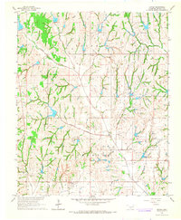
1965 Map of Maysville
USGS Topo · Published 1966About this map
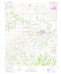
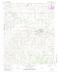
Washita River meanders across this mid-1960s landscape, defining the boundary between McClain and Garvin counties. The town of Maysville serves as the local hub, characterized by its industrial activity near the Refinery and the essential transport link provided by the Atchison Topeka and Santa Fe railroad. To the west, the smaller settlement of Story is marked by the Story Sch, reflecting the rural educational structure of the era. The terrain is deeply carved by numerous tributaries including Beef Creek, Criner Creek, and Finn Creek, creating a complex network of drainage basins. Local history and genealogy are preserved in sites like Maysville Cem and Randolph Cem, while land use is further indicated by several Gravel Pits and a prominent Water Tank near the rail line.
Find a feature on this map
24 named features on this map. Tap any name to fly to it.
Don’t see what you’re looking for? This feature index may not catch every label — zoom into the map to look around manually.
Map Details
Editions of this 1965 Maysville Map
3 editions found
Other maps of this area

1898 · Pauls Valley
USGS Topo · 1:125,000

1902 · Pauls Valley
USGS Topo · 1:125,000

1902 · Rush Springs
USGS Topo · 1:125,000

1957 · Ardmore
USGS Topo · 1:250,000

1963 · Ardmore
USGS Topo · 1:250,000
1965 · Wayne
USGS Topo · 1:24,000

1965 · Paoli
USGS Topo · 1:24,000
1965 · Stealy
USGS Topo · 1:24,000

1966 · Lindsay
USGS Topo · 1:24,000
1966 · Criner
USGS Topo · 1:24,000