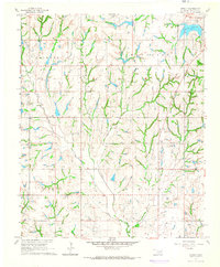
1965 Map of Stealy
USGS Topo · Published 1966About this map
West Flint Creek Oil Field and the French Oil Field define the mid-1960s industrial landscape of McClain County, where petroleum extraction and storage infrastructure sit alongside rural farming communities. Small settlements like Stealy and Clagg are connected by a network of section-line roads and unimproved trails, serving as local anchors for the surrounding townships. The area's topography is carved by a dense drainage system featuring Finn Creek and Turkey Creek, which flow through various townships including Turnbull and Wayne. In the northeast corner, Purcell Lake and the nearby Hillside Cemetery provide prominent local landmarks. The map also records several Gravel Pits, a Refinery, and rural institutions like Bethlehem Ch, illustrating the balance between the regional oil economy and established community life.
Find a feature on this map
20 named features on this map. Tap any name to fly to it.
Don’t see what you’re looking for? This feature index may not catch every label — zoom into the map to look around manually.
Map Details
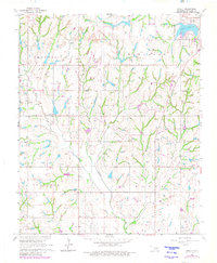
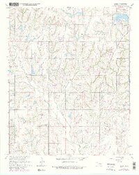
Editions of this 1965 Stealy Map
3 editions found
Other maps of this area

1893 · Norman
USGS Topo · 1:62,500

1898 · Purcell
USGS Topo · 1:125,000

1898 · Pauls Valley
USGS Topo · 1:125,000

1902 · Pauls Valley
USGS Topo · 1:125,000

1902 · Rush Springs
USGS Topo · 1:125,000

1904 · Chickasha
USGS Topo · 1:125,000

1936 · Norman
USGS Topo · 1:62,500

1954 · Oklahoma City
USGS Topo · 1:250,000

1957 · Ardmore
USGS Topo · 1:250,000

1957 · Oklahoma City
USGS Topo · 1:250,000