Old Maps of Atwood, Oklahoma for Metal Detecting
Plan your next treasure hunt with 12 historic maps of Atwood. Find old homesites, ghost towns, trails, and gathering spots that may be lost to time — perfect for identifying promising metal detecting locations.
- Locate forgotten sites: Uncover places like long-lost settlements, abandoned rail lines, or gathering spots.
- Plan better hunts: Use map overlays combined with LiDAR or satellite views to narrow in on historically rich areas.
- Made for detectorists: Thousands of hobbyists use these maps to discover relics, coins, and hidden history.
Use these historic maps to boost your research and find new opportunities beneath the surface of Atwood.
Atwood, OK maps
(12)- 1896 Map of Coalgate, 1957 Print
 1896 Coalgate1957 Print · USGSIndian Territory in the mid-1890s shows a landscape of tribal boundaries and nascent rail towns just before the turn of the century. Genealogists and historians can trace the early foundations of Coalgate and Calvin or locate family-named features along Muddy Boggy Creek.
 - 1899 Map of Coalgate
 1899 Coalgate1899 Print · USGSIndian Territory at the close of the nineteenth century is captured here as the coal industry transformed the landscape. Genealogists can trace family roots in the Seminole Nation or search for early mining-era homesites in Coalgate and Phillips.
 - 1900 Map of Coalgate
 1900 Coalgate1900 Print · USGSIndian Territory at the turn of the century shows a land of tribal boundaries and emerging coal towns. Researchers can trace the early rail corridors of the M. K. and T. R. R. and locate vanished communities like Guertie, Citra, and Legal.3 unique versions available
 - 1957 Map of Ardmore, 1968 Print
 1957 Ardmore1968 Print · USGSSouth-central Oklahoma in the late fifties was a landscape of rising reservoir waters and expanding rail lines. Genealogists and historians can trace the foundations of Ardmore and Duncan or locate early recreation sites at Platt National Park and Lake Murray State Park.3 unique versions available
 - 1963 Map of Ardmore
 1963 Ardmore1963 Print · USGSSouthern Oklahoma during the early sixties shows a landscape defined by the Arbuckle Mountains and a booming energy economy. Genealogists and historians can trace family-named sites across the Ardmore Oil Field, find old schools like Southeastern State College, or locate historic markers such as Boggy Depot State Park.2 unique versions available
 - 1967 Map of Calvin West, 1968 Print
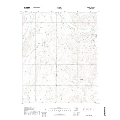
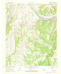 1967 Calvin West1968 Print · USGSHughes County's river valleys and oil fields come into sharp focus during the late sixties. Genealogists and local historians can trace the homesteads around Atwood, locate the Atwood Sch, and follow the path of the Chicago Rock Island and Pacific railroad.
 - 1990 Map of Ada
 1990 Ada1990 Print · USGSOklahoma's South Central plains and woodlands appear in high detail during the late twentieth century. Genealogists and historians can trace family roots in Ada, locate local institutions like East Central State University, and explore regional hubs like Sulphur or Stonewall.
 - 2009 Map of Calvin West, 2009 Print
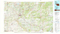
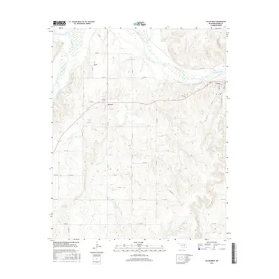
 2009 Calvin West2009 Print · USGSCovers Atwood, including Calvin, Hughes County, and other nearby areas
 - 2012 Map of Calvin West, 2012 Print
 2012 Calvin West2012 Print · USGSCovers Atwood, including Calvin, Hughes County, and other nearby areas
 - 2016 Map of Calvin West, 2016 Print
 2016 Calvin West2016 Print · USGSCovers Atwood, including Calvin, Hughes County, and other nearby areas
 - 2018 Map of Calvin West, 2018 Print
 2018 Calvin West2018 Print · USGSCovers Atwood, including Calvin, Hughes County, and other nearby areas
 - 2022 Map of Calvin West, 2022 Print
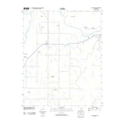
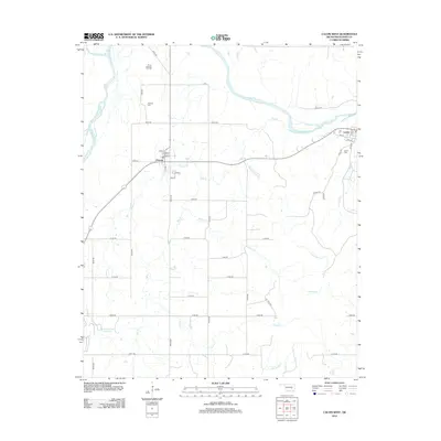
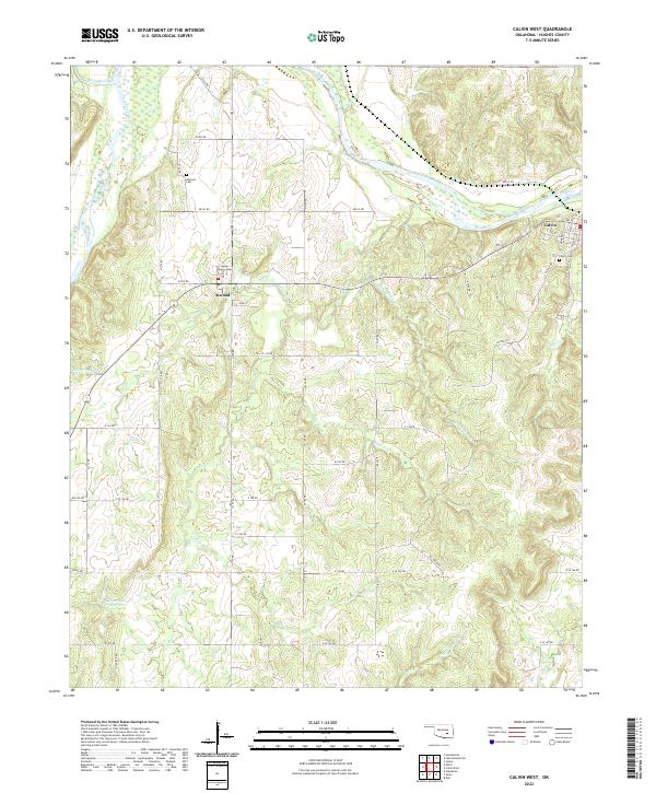 2022 Calvin West2022 Print · USGSIn this modern survey of central Oklahoma, the river-bottom landscape of Hughes County is shown in detail as it appeared in recent years. Researchers can trace local burial sites like Atwood Cem and Calvin Cem or find family landmarks such as the Kenneth West Reservoir.
End of results
Showing maps 1-12 of 12
Top cities near Atwood
- Holdenville historical maps
- Wewoka historical maps
- Allen historical maps
- Calvin historical maps
- Lamar historical maps
- Sasakwa historical maps
See more
Frequently asked questions
- What are the different types of historical maps available for Atwood?
- What is the oldest map of Atwood?
- Where can I purchase historical maps of Atwood for my home or office?
- Where can I download high-res historical maps of Atwood?
- Are there historical topographic maps available for Atwood?
- Is there historical aerial imagery available for Atwood?
- Where are historical maps of Atwood sourced from?