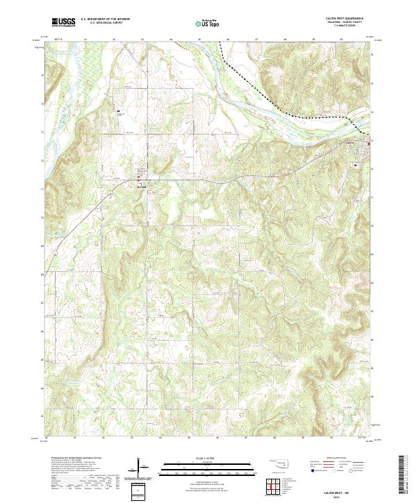
2022 Map of Calvin West
USGS Topo · Published 2022About this map
The confluence of the Little River and the Canadian River dominates this landscape in western Hughes County, where the terrain transitions from broad river bottoms to the rolling uplands of the t6n r9e and t6n r10e townships. The town of Calvin sits on the northern bank of the Canadian River, while the smaller settlement of Atwood serves as a central point further west. Local infrastructure is defined by a grid of rural roads like ew141 RD and the presence of Oil Field Rd, which points to the area's history of petroleum extraction.
Find a feature on this map
49 named features on this map. Tap any name to fly to it.
Don’t see what you’re looking for? This feature index may not catch every label — zoom into the map to look around manually.
Map Details
Editions of this 2022 Calvin West Map
This is the sole edition of this map. No revisions or reprints were ever made.
Other maps of this area

1896 · Coalgate
USGS Topo · 1:125,000

1899 · Coalgate
USGS Topo · 1:125,000

1900 · Wewoka
USGS Topo · 1:125,000

1900 · Coalgate
USGS Topo · 1:125,000

1954 · Oklahoma City
USGS Topo · 1:250,000

1957 · Ardmore
USGS Topo · 1:250,000

1957 · Oklahoma City
USGS Topo · 1:250,000

1958 · Steedman
USGS Topo · 1:24,000

1963 · Ardmore
USGS Topo · 1:250,000

1963 · Oklahoma City
USGS Topo · 1:250,000