Old Maps of Talihina, Oklahoma for Hiking & Exploration
Hike through history with 21 historic maps of Talihina. Explore old trails, ghost towns, and forgotten backroads — perfect for outdoor adventurers and local explorers.
- Rediscover forgotten places: Map out old mining camps, roads, and footpaths that no longer exist on modern maps.
- Layer with modern tools: Combine with LiDAR or satellite views to plan hikes through historical terrain.
- Made for exploration: Popular among hikers, overlanders, and local history lovers.
Use these maps to find adventure and explore the hidden past of Talihina.
Talihina, OK maps
(21)- 1901 Map of Tuskahoma
 1901 Tuskahoma1901 Print · USGSThe Choctaw Nation in the Indian Territory is captured here during its transition to statehood, showing a landscape of tribal centers and early railroad expansion. Genealogists and historians can locate the Council House and rural outposts like Bengal, Ola, and Damon.
 - 1908 Map of Tuskahoma, 1964 Print
 1908 Tuskahoma1964 Print · USGSOklahoma's Choctaw Nation territory at the start of the twentieth century shows a landscape shaped by ridge-top boundaries and the arrival of the steam engine. Researchers can locate early landmarks like the Choctaw Council House, Peachland Chapel, and mining era towns like Wilburton.
 - 1909 Map of Tuskahoma
 1909 Tuskahoma1909 Print · USGSSoutheastern Oklahoma’s rugged mountain corridors and Choctaw Nation landmarks are documented here at the end of the territorial era. Genealogists and historians can trace rail-town development and find remote sites like the Choctaw Council House, Bunchtown, and Thessalonica Church.3 unique versions available
 - 1940 Map of Red Oak, 1971 Print
 1940 Red Oak1971 Print · USGSThe Ouachita Mountains of southeastern Oklahoma are captured here in the years just before the mid-century, showing a landscape of timbered ridges and railroad towns. Genealogists can trace family footprints at rural landmarks like Baldwin Cem, the Salonia Sch, and the State Sanitorium near Talihina.2 unique versions available
 - 1943 Map of Red Oak
 1943 Red Oak1943 Print · USGSLatimer and Le Flore counties are captured here in the early 1940s as the railroad and timber economy shaped the Ouachita foothills. Genealogists and local historians can locate early landmarks like Baldwin Cem, Salonia Sch, and the State Sanatorium near Talihina.2 unique versions available
 - 1950 Map of Mcalester
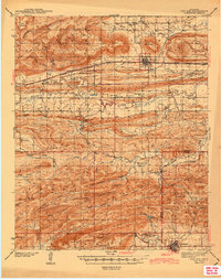
 1950 Mcalester1950 Print · USGSThe Ouachita Mountains and the coal country of Southeast Oklahoma are shown here in the late 1940s. Genealogists and historians can trace the rail-driven growth of McAlester, Wilburton, and Antlers alongside the rugged terrain of Kiamichi Mountain.2 unique versions available
 - 1962 Map of McAlester
 1962 McAlester1962 Print · USGSSoutheastern Oklahoma and western Arkansas are shown here during the early sixties, a time of transition for the region's mountain communities and timberlands. Researchers can trace the paths of the Kansas City Southern RR through Heavener or locate settlements like Talihina and Broken Bow near the Kiamichi Mountains.2 unique versions available
 - 1965 Map of McAlester
 1965 McAlester1965 Print · USGSSoutheastern Oklahoma and western Arkansas appear here in the mid-1960s, showing the intersection of the timber industry and the growing reservoir system. Genealogists can trace family roots through settlements like Antlers, Idabel, and Kiowa or follow the historic routes of the Kansas City Southern Ry.3 unique versions available
 - 1971 Map of Albion, 1973 Print
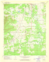 1971 Albion1973 Print · USGSSoutheast Oklahoma in the early 1970s reveals a landscape of deep valleys and winding waterways where the railroad still shaped local life. Genealogists can trace family names through rural landmarks like Armstrong Cem, Myers Cem, and the Evangelistic Tabernacle.2 unique versions available
 - 1979 Map of Talihina, 1980 Print
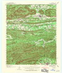
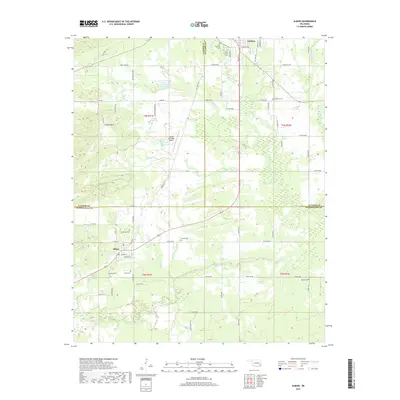
 1979 Talihina1980 Print · USGSThe Ouachita foothills near the end of the seventies show a landscape of mountain ridges and medical institutions. Genealogists and local historians can trace family roots at the Peachland Cem or locate the US Government Hospital and Kiamichi Camp.
 - 1991 Map of Mc Alester
 1991 Mc Alester1991 Print · USGSSoutheastern Oklahoma’s coal and rail corridor is captured here during the early nineties, centered on the regional hub of McAlester. Local historians can trace the development of towns along the Missouri-Kansas-Texas RR and find landmarks like Sardis Lake and the State Penitentiary.
 - 2010 Map of Talihina, 2010 Print
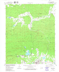
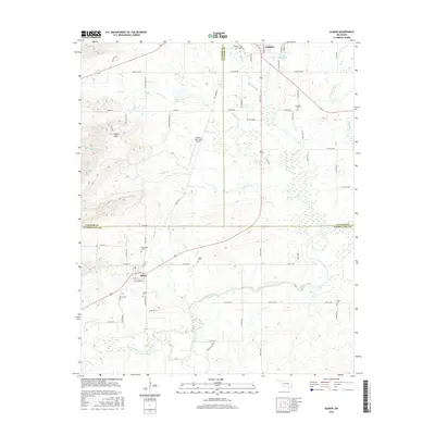
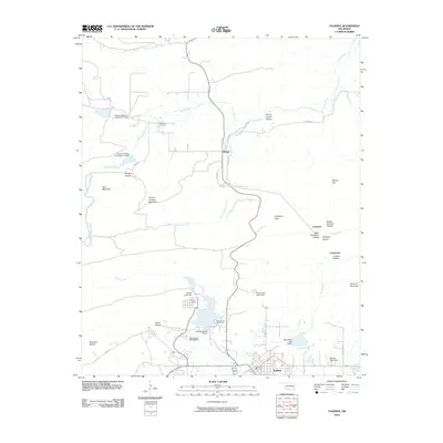 2010 Talihina2010 Print · USGSCovers Talihina, including Bengal, Lamberson, and other nearby areas
 - 2010 Map of Albion, 2010 Print
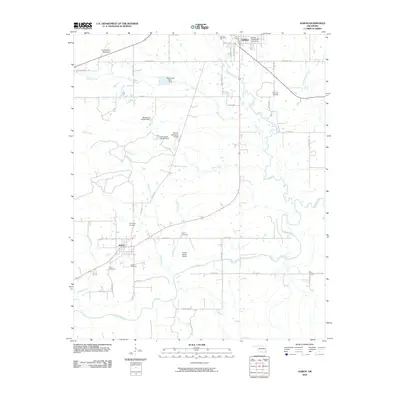 2010 Albion2010 Print · USGSCovers Talihina, including Albion, LeFlore County, and other nearby areas
 - 2012 Map of Albion, 2012 Print
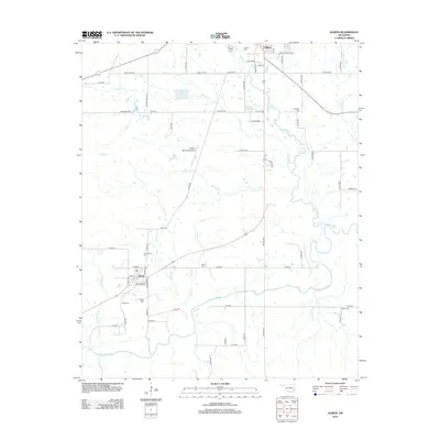 2012 Albion2012 Print · USGSCovers Talihina, including Albion, LeFlore County, and other nearby areas
 - 2013 Map of Talihina, 2013 Print
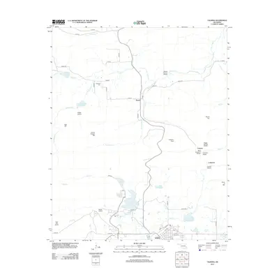 2013 Talihina2013 Print · USGSCovers Talihina, including Bengal, Lamberson, and other nearby areas
 - 2016 Map of Albion, 2016 Print
 2016 Albion2016 Print · USGSCovers Talihina, including Albion, LeFlore County, and other nearby areas
 - 2016 Map of Talihina, 2016 Print
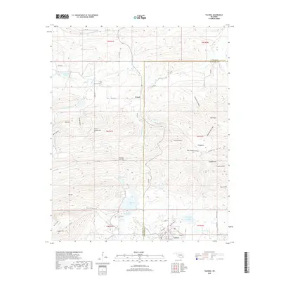
 2016 Talihina2016 Print · USGSCovers Talihina, including Bengal, Lamberson, and other nearby areas
 - 2018 Map of Talihina, 2018 Print
 2018 Talihina2018 Print · USGSCovers Talihina, including Bengal, Lamberson, and other nearby areas
 - 2019 Map of Albion, 2019 Print
 2019 Albion2019 Print · USGSCovers Talihina, including Albion, LeFlore County, and other nearby areas
 - 2022 Map of Talihina, 2022 Print
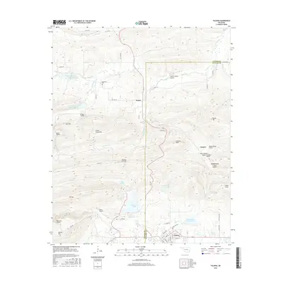
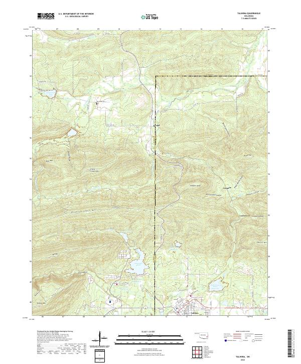 2022 Talihina2022 Print · USGSTalihina and the surrounding Kiamichi mountains come into sharp focus in this recent survey of the Le Flore County landscape. Researchers can locate the Peachland Cem or trace the drainage of Rock Creek from Lake Carl Albert past the slopes of Winding Stair Mtn.
 - 2022 Map of Albion, 2022 Print
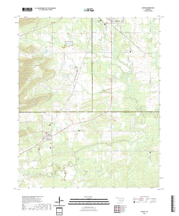 2022 Albion2022 Print · USGSThe Kiamichi River valley and the distinctive Potato Hills region come alive in this recent survey of eastern Oklahoma. Genealogists and historians can trace local family lineages through numerous sites like Armstrong Cem, Albion Cem, and the historic Old Talihina Cem.
End of results
Showing maps 1-21 of 21
Top cities near Talihina
Frequently asked questions
- What are the different types of historical maps available for Talihina?
- What is the oldest map of Talihina?
- Where can I purchase historical maps of Talihina for my home or office?
- Where can I download high-res historical maps of Talihina?
- Are there historical topographic maps available for Talihina?
- Is there historical aerial imagery available for Talihina?
- Where are historical maps of Talihina sourced from?