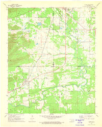
1971 Map of Albion
USGS Topo · Published 1973About this map
The St Louis-San Francisco railroad cuts a diagonal path through this landscape, connecting the valley settlements of Talihina and Albion. The terrain is defined by distinct topographical basins, including the Tuskahoma Valley and Buffalo Valley, separated by the distinctive peaks of the Potato Hills. The Kiamichi River meanders across the southern portion of the map, carving a wide floodplain that has historically dictated the placement of agricultural fields and rural homesteads.
Find a feature on this map
32 named features on this map. Tap any name to fly to it.
Don’t see what you’re looking for? This feature index may not catch every label — zoom into the map to look around manually.
Map Details
Editions of this 1971 Albion Map
2 editions found
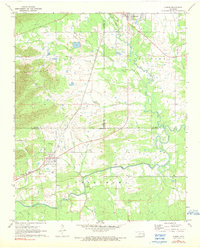
Other maps of this area

1900 · Winding Stair
USGS Topo · 1:125,000

1901 · Tuskahoma
USGS Topo · 1:125,000

1908 · Tuskahoma
USGS Topo · 1:125,000

1909 · Tuskahoma
USGS Topo · 1:125,000

1909 · Winding Stair
USGS Topo · 1:125,000

1940 · Red Oak
USGS Topo · 1:62,500

1943 · Red Oak
USGS Topo · 1:62,500

1950 · Mcalester
USGS Topo · 1:250,000

1962 · McAlester
USGS Topo · 1:250,000

1965 · McAlester
USGS Topo · 1:250,000