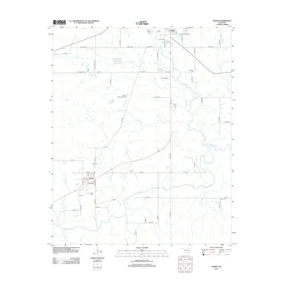
2012 Map of Albion
USGS Topo · Published 2012About this map
The Kiamichi River valley defines the landscape of this southern Oklahoma region, where the small settlements of Albion and Talihina are connected by a network of rural roads. Numerous family and community burial sites, such as the McIntosh Cem and Armstrong Cem, are scattered across the terrain, offering significant points of interest for genealogists and local historians. The presence of several tributary systems, including Prairie Cr, Rock Cr, and Albion Cr, suggests a well-watered agricultural or ranching environment. Transportation and infrastructure are anchored by the Talihina Municipal Airport and the Rock Cr Site 1 Reservoir, while the grid of roads like Lorie Lane RD and Pear Grove RD provides access to the dispersed homesteads and farms of LeFlore County.
Find a feature on this map
64 named features on this map. Tap any name to fly to it.
Don’t see what you’re looking for? This feature index may not catch every label — zoom into the map to look around manually.
Map Details
Editions of this 2012 Albion Map
This is the sole edition of this map. No revisions or reprints were ever made.
Other maps of this area

1900 · Winding Stair
USGS Topo · 1:125,000

1901 · Tuskahoma
USGS Topo · 1:125,000

1908 · Tuskahoma
USGS Topo · 1:125,000

1909 · Tuskahoma
USGS Topo · 1:125,000

1909 · Winding Stair
USGS Topo · 1:125,000

1940 · Red Oak
USGS Topo · 1:62,500

1943 · Red Oak
USGS Topo · 1:62,500

1950 · Mcalester
USGS Topo · 1:250,000

1962 · McAlester
USGS Topo · 1:250,000

1965 · McAlester
USGS Topo · 1:250,000