2000s (21st Century) Maps of Stroud, Oklahoma
Explore 20 historic maps of Stroud from the 2000s (21st Century). These maps offer a rare glimpse into what life looked like during the 2000s — showing old roads, neighborhoods, homes, and landmarks that have changed or disappeared over time.
Whether you're researching your family's past, planning a metal detecting trip, or studying how Stroud's landscape evolved across the 2000s, these high-resolution maps are a powerful tool for exploring the history of this region.
- Focus on a specific era: All maps on this page are from the 2000s, giving you a focused view of this time period.
- See what’s changed: Compare century-old streets, trails, and buildings to today's modern landscape using overlays and satellite layers.
- Research with precision: Use these maps for genealogy, historical research, land use analysis, or educational projects.
- View, download, or print: Maps are fully viewable online in high resolution, and can be downloaded or printed for your own records.
Start exploring Stroud's history through authentic maps from the 2000s. This is your window into the past.
Stroud, OK maps
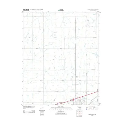
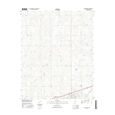
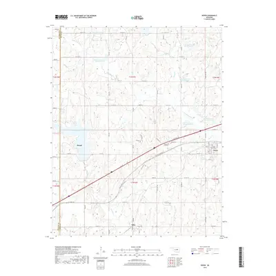
(20)- 2009 Map of Depew, 2009 Print
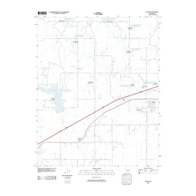 2009 Depew2009 Print · USGSCovers Stroud, including Depew, Milfay, and other nearby areas
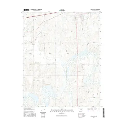
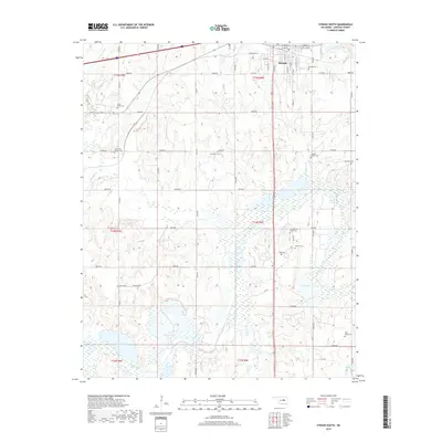
 - 2009 Map of Stroud North, 2009 Print
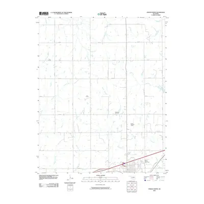 2009 Stroud North2009 Print · USGSCovers Stroud, including Lincoln County, United States, and other nearby areas
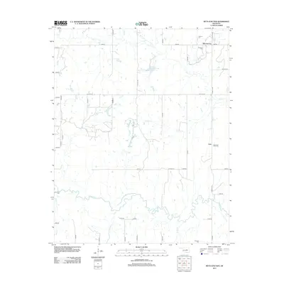
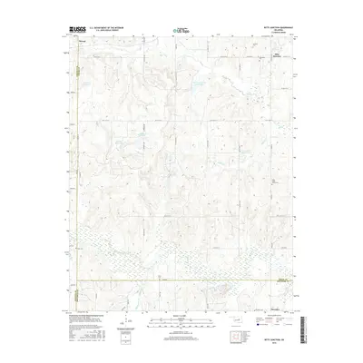
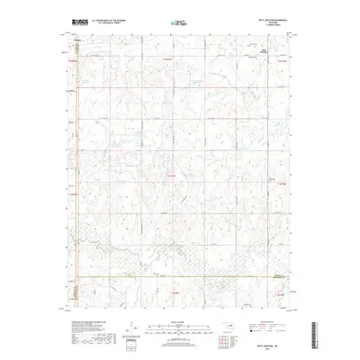
 - 2010 Map of Ritts Junction, 2010 Print
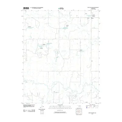 2010 Ritts Junction2010 Print · USGSCovers Stroud, including Aron, Ritts Junction, and other nearby areas
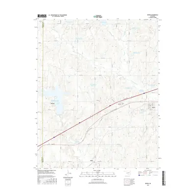
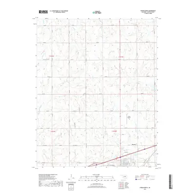
 - 2010 Map of Stroud South, 2010 Print
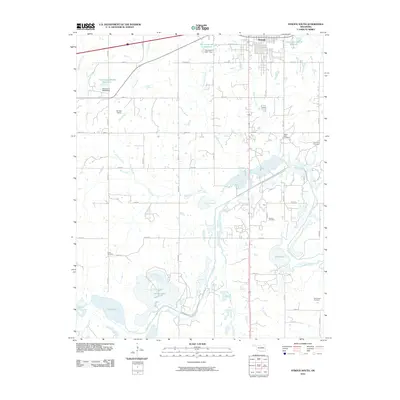 2010 Stroud South2010 Print · USGSCovers Stroud, including Lincoln County, United States, and other nearby areas
 - 2012 Map of Ritts Junction, 2012 Print
 2012 Ritts Junction2012 Print · USGSCovers Stroud, including Aron, Ritts Junction, and other nearby areas
 - 2012 Map of Stroud North, 2012 Print
 2012 Stroud North2012 Print · USGSCovers Stroud, including Lincoln County, United States, and other nearby areas
 - 2012 Map of Stroud South, 2012 Print
 2012 Stroud South2012 Print · USGSCovers Stroud, including Lincoln County, United States, and other nearby areas
 - 2012 Map of Depew, 2012 Print
 2012 Depew2012 Print · USGSCovers Stroud, including Depew, Milfay, and other nearby areas
 - 2016 Map of Stroud South, 2016 Print
 2016 Stroud South2016 Print · USGSCovers Stroud, including Lincoln County, United States, and other nearby areas
 - 2016 Map of Ritts Junction, 2016 Print
 2016 Ritts Junction2016 Print · USGSCovers Stroud, including Aron, Ritts Junction, and other nearby areas
 - 2016 Map of Stroud North, 2016 Print
 2016 Stroud North2016 Print · USGSCovers Stroud, including Lincoln County, United States, and other nearby areas
 - 2016 Map of Depew, 2016 Print
 2016 Depew2016 Print · USGSCovers Stroud, including Depew, Milfay, and other nearby areas
 - 2018 Map of Depew, 2018 Print
 2018 Depew2018 Print · USGSCovers Stroud, including Depew, Milfay, and other nearby areas
 - 2018 Map of Stroud South, 2018 Print
 2018 Stroud South2018 Print · USGSCovers Stroud, including Lincoln County, United States, and other nearby areas
 - 2018 Map of Ritts Junction, 2018 Print
 2018 Ritts Junction2018 Print · USGSCovers Stroud, including Aron, Ritts Junction, and other nearby areas
 - 2018 Map of Stroud North, 2018 Print
 2018 Stroud North2018 Print · USGSCovers Stroud, including Lincoln County, United States, and other nearby areas
 - 2022 Map of Stroud South, 2022 Print
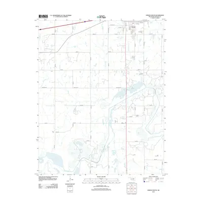
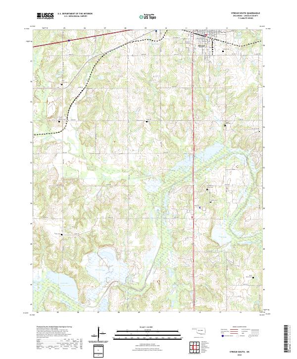 2022 Stroud South2022 Print · USGSThe southern outskirts of Stroud and the rural Lincoln County landscape are documented here in recent years. Genealogists can locate numerous burial sites across the township, including the Sac and Fox Tribal Cem and Golden Valley Cem.
 - 2022 Map of Stroud North, 2022 Print
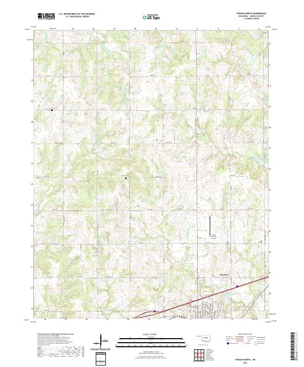 2022 Stroud North2022 Print · USGSThe northern fringes of Stroud and the surrounding Lincoln County countryside come into focus in this early twenty-first-century survey. Genealogists and local historians can locate the Henry Cem and Black Cem or trace the paths of Euchee Cr and Possum Trot Cr.
 - 2022 Map of Ritts Junction, 2022 Print
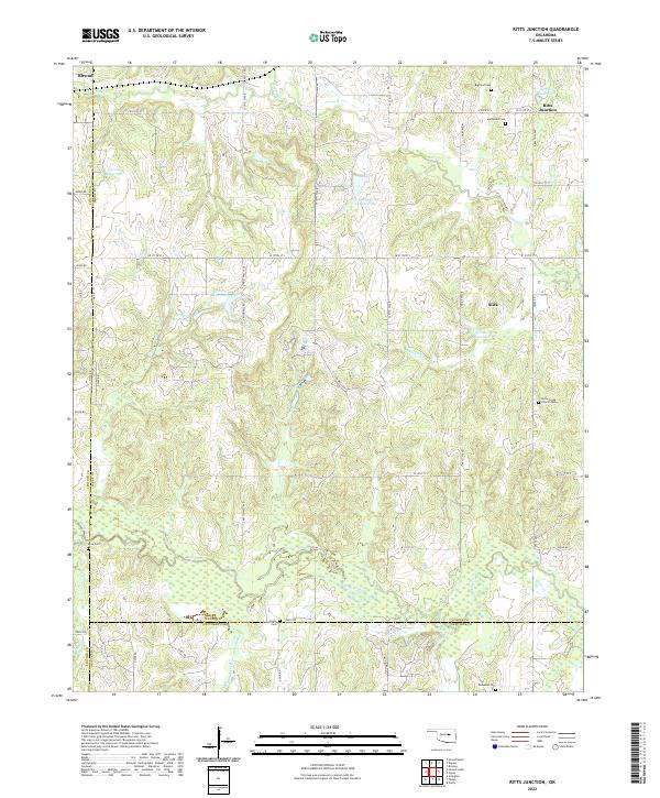 2022 Ritts Junction2022 Print · USGSThe rural Oklahoma borderlands of Creek County come into focus in this modern survey, showing the landscape before recent developments. Genealogists can locate several family and community burial sites like Mutteloke Cem, Lane Cem, and the settlement of Slick.
 - 2022 Map of Depew, 2022 Print
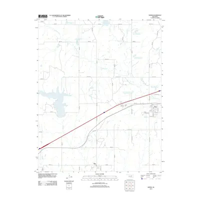
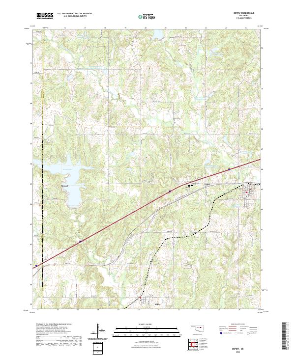 2022 Depew2022 Print · USGSStroud and Depew are shown in modern detail along the historic highway corridor of central Oklahoma. Researchers can trace local burial sites at Oakdale Cem or locate the numerous reservoirs along Little Deep Fork Cr.
End of results
Showing maps 1-20 of 20
Top cities near Stroud
- Cushing historical maps
- Chandler historical maps
- Drumright historical maps
- Davenport historical maps
- Depew historical maps
- Agra historical maps
See more
Frequently asked questions
- What are the different types of historical maps available for Stroud?
- What is the oldest map of Stroud?
- Where can I purchase historical maps of Stroud for my home or office?
- Where can I download high-res historical maps of Stroud?
- Are there historical topographic maps available for Stroud?
- Is there historical aerial imagery available for Stroud?
- Where are historical maps of Stroud sourced from?