Old Maps of Stroud, Oklahoma for Genealogy
Trace your family roots with 31 historic maps of Stroud. These high-res maps reveal old neighborhoods, homesites, landmarks, and streets — helping you uncover where your ancestors lived and how the area evolved over time.
- Explore historic neighborhoods: Identify where your relatives may have lived in the 1800s or 1900s.
- Compare maps over time: Trace the changes in streets, buildings, and landmarks for multi-generational research.
- Perfect for genealogy & ancestry research: Used by family historians and researchers to map out lineage and migration.
These maps are an incredible resource for exploring your personal connection to Stroud's past.
Stroud, OK maps
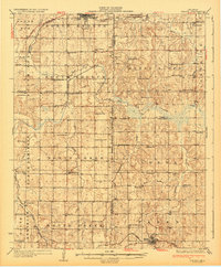
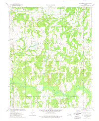
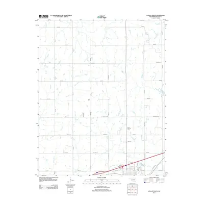
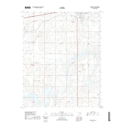
(31)- 1929 Map of Stroud, 1972 Print
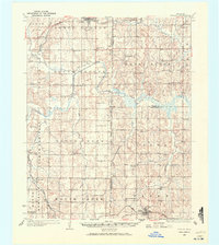 1929 Stroud1972 Print · USGSCentral Oklahoma is captured here in the late twenties, showing the intersection of early highway travel and deep-rooted rural communities. Researchers can trace historic schools and rail lines, including the Sac and Fox Sch, Paden, and the legendary Highway No 66.
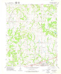
 - 1931 Map of Drumright
 1931 Drumright1931 Print · USGSOklahoma's oil boom era is captured here at its peak, showing the industrial landscape around Drumright and Shamrock. Local historians can trace dozens of rural school sites like Happy Valley Sch and the original path of Highway No 66.4 unique versions available
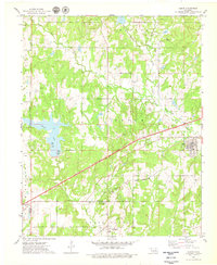
 - 1932 Map of Stroud
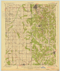
 1932 Stroud1932 Print · USGSCentral Oklahoma at the start of the 1930s reveals a landscape shaped by former territorial boundaries and a dense network of rural schools. Genealogists and historians can trace family roots through landmarks like Sac and Fox Sch, Arlington, and the many country schools such as Pettiquah Sch.2 unique versions available
 - 1954 Map of Oklahoma City
 1954 Oklahoma City1954 Print · USGSOklahoma City and its surrounding counties are captured here in the early fifties during a period of significant postwar growth. Researchers can trace the development of the Turner Turnpike and locate aviation hubs like Tinker Field or Will Rogers Field.
 - 1957 Map of Oklahoma City, 1969 Print
 1957 Oklahoma City1969 Print · USGSCentral Oklahoma is captured here in a period of significant mid-century growth and industrialization. Researchers can trace family roots through numerous rural markers like Memory Lane Cem, New Hope School, and the sprawling grounds of Tinker Air Force Base.3 unique versions available
 - 1963 Map of Oklahoma City
 1963 Oklahoma City1963 Print · USGSCentral Oklahoma in the early sixties showcases a landscape of rapid suburban growth and established oil production. Researchers can trace historic rail lines like the Chicago Rock Island and Pacific RR or locate rural landmarks such as Mayflower School and Bethel Church.
 - 1974 Map of Stroud South, 1977 Print
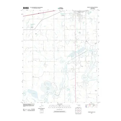
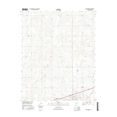
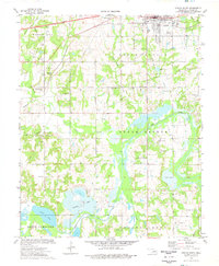 1974 Stroud South1977 Print · USGSLincoln County's oil-rich landscape south of Stroud is captured here in the mid-1970s, showing a blend of industry and tribal heritage. Genealogists and historians can locate numerous rural burial sites like Sac & Fox Cem and Golden Valley Cem alongside the St Louis-San Francisco rail line.
 - 1974 Map of Ritts Junction, 1977 Print
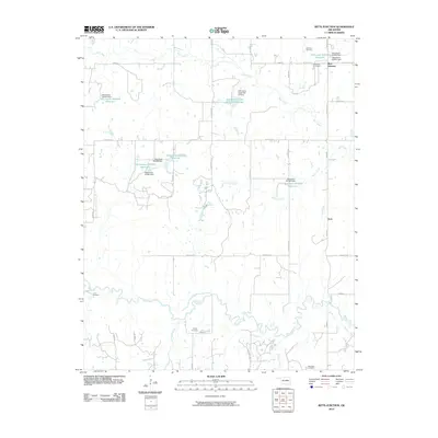
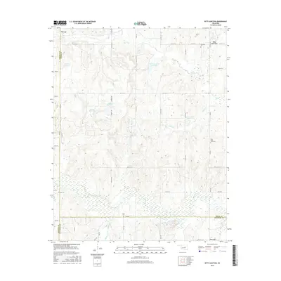
 1974 Ritts Junction1977 Print · USGSThe area surrounding Ritts Junction is shown in the mid-seventies, defined by the winding Deep Fork and a heavy industrial footprint. Genealogists can locate family-named sites like Hosey Cem and Big Pond Cem or the Little Creek Ch near the rail line.
 - 1975 Map of Stroud North, 1979 Print
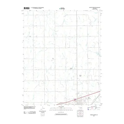
 1975 Stroud North1979 Print · USGSThe oil fields and turnpike corridors of Lincoln County are captured here in the mid-1970s. Researchers can trace rural lineages through the Henry Cem and Black Cem or map the era's petroleum infrastructure across the North Fox Oil Field.
 - 1975 Map of Depew, 1979 Print
 1975 Depew1979 Print · USGSCreek County at the peak of the 1970s energy era reveals a landscape shaped by both the Turner Toll Road and extensive oil field operations. Researchers can trace the legacy of local settlements like Depew and Milfay, or locate family sites at Oakdale Cems and Spring Creek Ch.
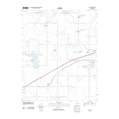
 - 1990 Map of Bristow
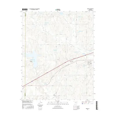
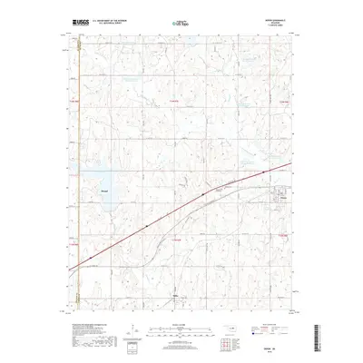
 1990 Bristow1990 Print · USGSCentral Oklahoma's township and range grid is on full display in the 1990s, anchored by the crossroads at Bristow and Sapulpa. Researchers can trace old community lines and regional landmarks from Heyburn Reservoir to the historic streets of Boley.
 - 2009 Map of Depew, 2009 Print
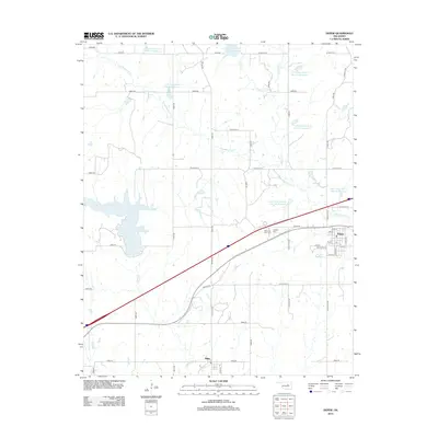
 2009 Depew2009 Print · USGSCovers Stroud, including Depew, Milfay, and other nearby areas
 - 2009 Map of Stroud North, 2009 Print
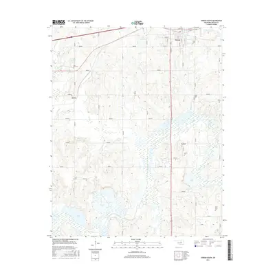
 2009 Stroud North2009 Print · USGSCovers Stroud, including Lincoln County, United States, and other nearby areas
 - 2010 Map of Ritts Junction, 2010 Print
 2010 Ritts Junction2010 Print · USGSCovers Stroud, including Aron, Ritts Junction, and other nearby areas
 - 2010 Map of Stroud South, 2010 Print
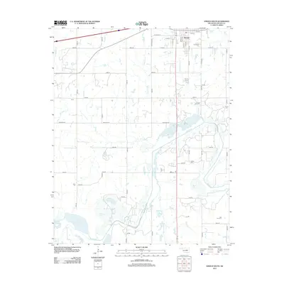
 2010 Stroud South2010 Print · USGSCovers Stroud, including Lincoln County, United States, and other nearby areas
 - 2012 Map of Ritts Junction, 2012 Print
 2012 Ritts Junction2012 Print · USGSCovers Stroud, including Aron, Ritts Junction, and other nearby areas
 - 2012 Map of Stroud North, 2012 Print
 2012 Stroud North2012 Print · USGSCovers Stroud, including Lincoln County, United States, and other nearby areas
 - 2012 Map of Stroud South, 2012 Print
 2012 Stroud South2012 Print · USGSCovers Stroud, including Lincoln County, United States, and other nearby areas
 - 2012 Map of Depew, 2012 Print
 2012 Depew2012 Print · USGSCovers Stroud, including Depew, Milfay, and other nearby areas
 - 2016 Map of Stroud South, 2016 Print
 2016 Stroud South2016 Print · USGSCovers Stroud, including Lincoln County, United States, and other nearby areas
 - 2016 Map of Ritts Junction, 2016 Print
 2016 Ritts Junction2016 Print · USGSCovers Stroud, including Aron, Ritts Junction, and other nearby areas
 - 2016 Map of Stroud North, 2016 Print
 2016 Stroud North2016 Print · USGSCovers Stroud, including Lincoln County, United States, and other nearby areas
 - 2016 Map of Depew, 2016 Print
 2016 Depew2016 Print · USGSCovers Stroud, including Depew, Milfay, and other nearby areas
 - 2018 Map of Depew, 2018 Print
 2018 Depew2018 Print · USGSCovers Stroud, including Depew, Milfay, and other nearby areas
 - 2018 Map of Stroud South, 2018 Print
 2018 Stroud South2018 Print · USGSCovers Stroud, including Lincoln County, United States, and other nearby areas
Showing maps 1-25 of 31
Top cities near Stroud
- Cushing historical maps
- Chandler historical maps
- Drumright historical maps
- Davenport historical maps
- Depew historical maps
- Agra historical maps
See more
Frequently asked questions
- What are the different types of historical maps available for Stroud?
- What is the oldest map of Stroud?
- Where can I purchase historical maps of Stroud for my home or office?
- Where can I download high-res historical maps of Stroud?
- Are there historical topographic maps available for Stroud?
- Is there historical aerial imagery available for Stroud?
- Where are historical maps of Stroud sourced from?