2000s (21st Century) Maps of Cedar Valley, Oklahoma
Explore 20 historic maps of Cedar Valley from the 2000s (21st Century). These maps offer a rare glimpse into what life looked like during the 2000s — showing old roads, neighborhoods, homes, and landmarks that have changed or disappeared over time.
Whether you're researching your family's past, planning a metal detecting trip, or studying how Cedar Valley's landscape evolved across the 2000s, these high-resolution maps are a powerful tool for exploring the history of this region.
- Focus on a specific era: All maps on this page are from the 2000s, giving you a focused view of this time period.
- See what’s changed: Compare century-old streets, trails, and buildings to today's modern landscape using overlays and satellite layers.
- Research with precision: Use these maps for genealogy, historical research, land use analysis, or educational projects.
- View, download, or print: Maps are fully viewable online in high resolution, and can be downloaded or printed for your own records.
Start exploring Cedar Valley's history through authentic maps from the 2000s. This is your window into the past.
Cedar Valley, OK maps
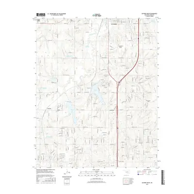
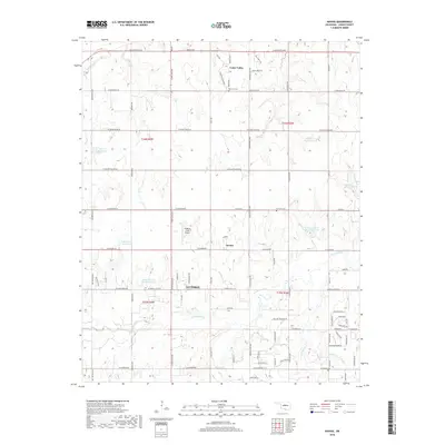
(20)- 2009 Map of Guthrie North, 2009 Print
 2009 Guthrie North2009 Print · USGSCovers Cedar Valley, including Guthrie, Lawrie, and other nearby areas
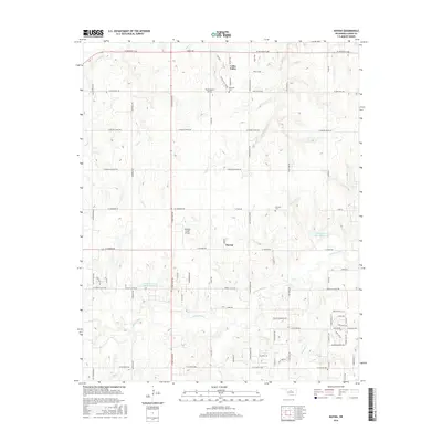
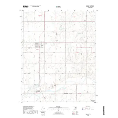
 - 2009 Map of Navina, 2009 Print
 2009 Navina2009 Print · USGSCovers Cedar Valley, including Guthrie, Navina, and other nearby areas
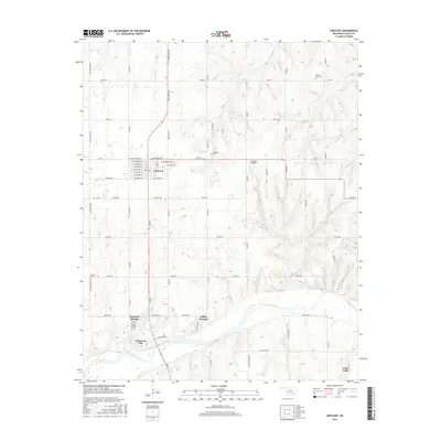
 - 2009 Map of Crescent, 2009 Print
 2009 Crescent2009 Print · USGSCovers Cedar Valley, including Guthrie, Crescent, and other nearby areas
 - 2010 Map of Guthrie South, 2010 Print
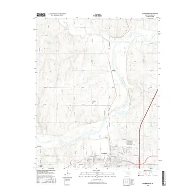
 2010 Guthrie South2010 Print · USGSCovers Cedar Valley, including Guthrie, Lakeview, and other nearby areas
 - 2012 Map of Guthrie South, 2012 Print
 2012 Guthrie South2012 Print · USGSCovers Cedar Valley, including Guthrie, Lakeview, and other nearby areas
 - 2012 Map of Crescent, 2012 Print
 2012 Crescent2012 Print · USGSCovers Cedar Valley, including Guthrie, Crescent, and other nearby areas
 - 2012 Map of Guthrie North, 2012 Print
 2012 Guthrie North2012 Print · USGSCovers Cedar Valley, including Guthrie, Lawrie, and other nearby areas
 - 2012 Map of Navina, 2012 Print
 2012 Navina2012 Print · USGSCovers Cedar Valley, including Guthrie, Navina, and other nearby areas
 - 2016 Map of Guthrie South, 2016 Print
 2016 Guthrie South2016 Print · USGSCovers Cedar Valley, including Guthrie, Lakeview, and other nearby areas
 - 2016 Map of Guthrie North, 2016 Print
 2016 Guthrie North2016 Print · USGSCovers Cedar Valley, including Guthrie, Lawrie, and other nearby areas
 - 2016 Map of Crescent, 2016 Print
 2016 Crescent2016 Print · USGSCovers Cedar Valley, including Guthrie, Crescent, and other nearby areas
 - 2016 Map of Navina, 2016 Print
 2016 Navina2016 Print · USGSCovers Cedar Valley, including Guthrie, Navina, and other nearby areas
 - 2018 Map of Navina, 2018 Print
 2018 Navina2018 Print · USGSCovers Cedar Valley, including Guthrie, Navina, and other nearby areas
 - 2018 Map of Crescent, 2018 Print
 2018 Crescent2018 Print · USGSCovers Cedar Valley, including Guthrie, Crescent, and other nearby areas
 - 2018 Map of Guthrie North, 2018 Print
 2018 Guthrie North2018 Print · USGSCovers Cedar Valley, including Guthrie, Lawrie, and other nearby areas
 - 2018 Map of Guthrie South, 2018 Print
 2018 Guthrie South2018 Print · USGSCovers Cedar Valley, including Guthrie, Lakeview, and other nearby areas
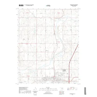
 - 2022 Map of Guthrie North, 2022 Print
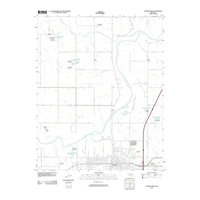
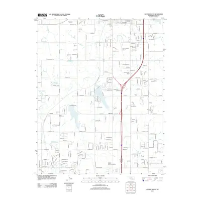
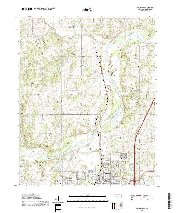 2022 Guthrie North2022 Print · USGSGuthrie and the Cimarron River valley are captured here in the early twenty-first century as the region maintains its historic character. Genealogists and local historians can trace the locations of Summit View Cem, Lawrie, and the Logan County Courthouse.
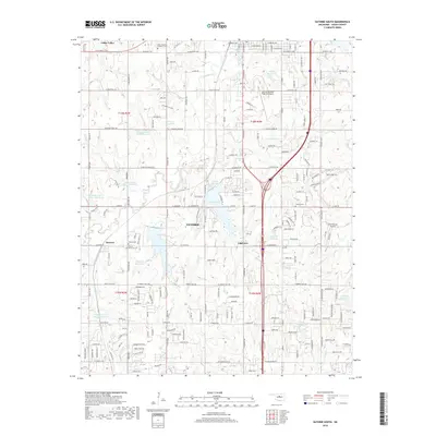
 - 2022 Map of Navina, 2022 Print
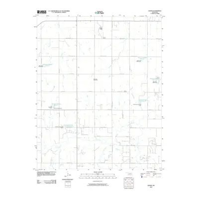
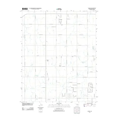
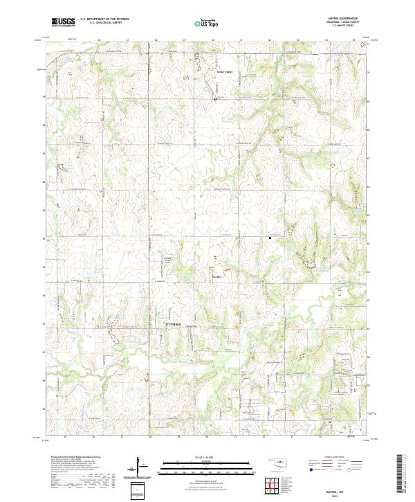 2022 Navina2022 Print · USGSLogan County’s rural landscape is captured here in the early twenty-first century, showing the established grid of agricultural lands and residential growth. Researchers can trace local lineage through Fairview Cem or explore the drainage systems of Cottonwood Creek and Navina.
 - 2022 Map of Crescent, 2022 Print
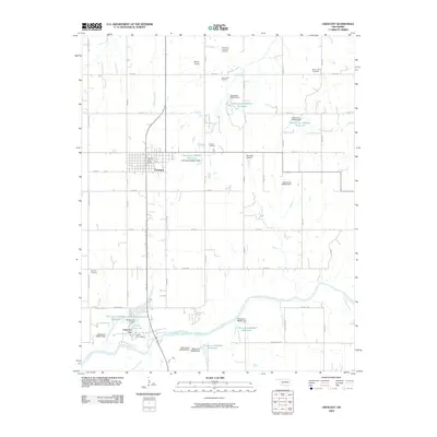
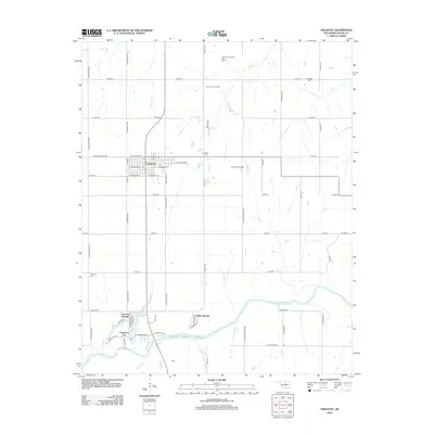
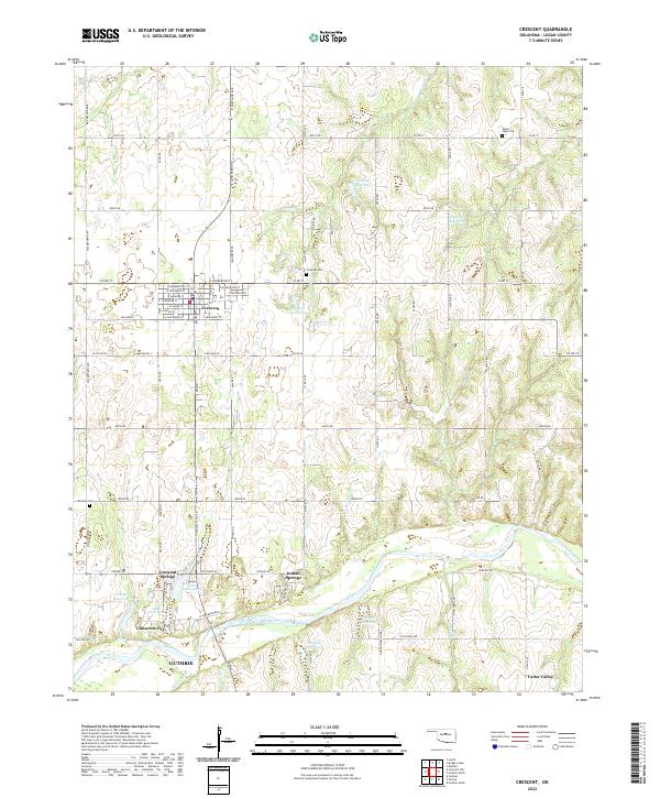 2022 Crescent2022 Print · USGSLogan County’s landscape near the Cimarron River is documented here in recent years, showing the growth of Crescent and nearby riverfront communities. Researchers can locate Mount Hope Cem, trace the lanes of Cimarron City, and follow the banks of Lake Lattawanna.
 - 2022 Map of Guthrie South, 2022 Print
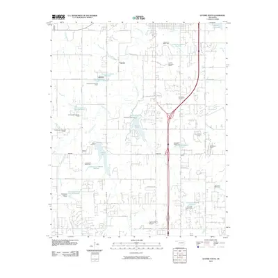
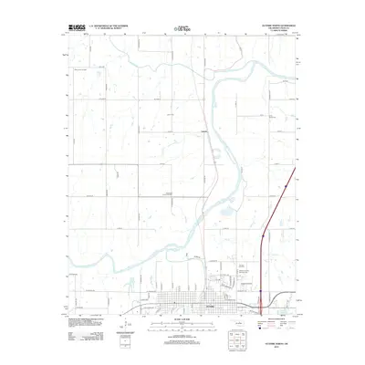
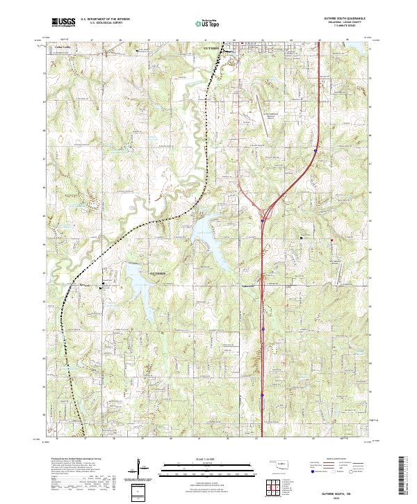 2022 Guthrie South2022 Print · USGSSouthern Logan County comes alive in this contemporary survey of the landscape surrounding the territorial capital. Genealogists and local historians can trace several burial sites like Seward Cem and Taylor's Cem or locate the community of Green Gable.
End of results
Showing maps 1-20 of 20
Top cities near Cedar Valley
- Oklahoma City historical maps
- Edmond historical maps
- Guthrie historical maps
- Piedmont historical maps
- Langston historical maps
- Crescent historical maps
See more
Frequently asked questions
- What are the different types of historical maps available for Cedar Valley?
- What is the oldest map of Cedar Valley?
- Where can I purchase historical maps of Cedar Valley for my home or office?
- Where can I download high-res historical maps of Cedar Valley?
- Are there historical topographic maps available for Cedar Valley?
- Is there historical aerial imagery available for Cedar Valley?
- Where are historical maps of Cedar Valley sourced from?