Old Maps of Cedar Valley, Oklahoma for Hiking & Exploration
Hike through history with 31 historic maps of Cedar Valley. Explore old trails, ghost towns, and forgotten backroads — perfect for outdoor adventurers and local explorers.
- Rediscover forgotten places: Map out old mining camps, roads, and footpaths that no longer exist on modern maps.
- Layer with modern tools: Combine with LiDAR or satellite views to plan hikes through historical terrain.
- Made for exploration: Popular among hikers, overlanders, and local history lovers.
Use these maps to find adventure and explore the hidden past of Cedar Valley.
Cedar Valley, OK maps
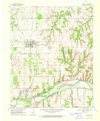
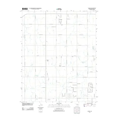
(31)- 1892 Map of Guthrie
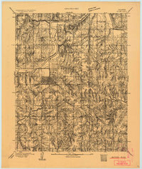 1892 Guthrie1892 Print · USGSGuthrie and the surrounding Logan County landscape are captured here in the early years of the Oklahoma Territory. Researchers can trace the vital Atchison Topeka and Santa Fe RR line and find early settlements like Lowrie and Beulah.
 - 1892 Map of Kingfisher, 1957 Print
 1892 Kingfisher1957 Print · USGSOklahoma Territory was in a state of rapid transition during the 1890s as railroads and cattle trails shared the same landscape. Researchers can trace the original Chisholm Trail alongside early settlements like Mathewson and river crossings such as Kirby Ford.
 - 1895 Map of Kingfisher
 1895 Kingfisher1895 Print · USGSOklahoma Territory during the mid-1890s reveals a rapidly developing frontier defined by river crossings and expanding rail lines. Genealogists and historians can trace the early foundations of Kingfisher, Elreno, and Yukon alongside historic river crossings like Gould Ford.4 unique versions available
 - 1954 Map of Oklahoma City
 1954 Oklahoma City1954 Print · USGSOklahoma City and its surrounding counties are captured here in the early fifties during a period of significant postwar growth. Researchers can trace the development of the Turner Turnpike and locate aviation hubs like Tinker Field or Will Rogers Field.
 - 1957 Map of Oklahoma City, 1969 Print
 1957 Oklahoma City1969 Print · USGSCentral Oklahoma is captured here in a period of significant mid-century growth and industrialization. Researchers can trace family roots through numerous rural markers like Memory Lane Cem, New Hope School, and the sprawling grounds of Tinker Air Force Base.3 unique versions available
 - 1963 Map of Oklahoma City
 1963 Oklahoma City1963 Print · USGSCentral Oklahoma in the early sixties showcases a landscape of rapid suburban growth and established oil production. Researchers can trace historic rail lines like the Chicago Rock Island and Pacific RR or locate rural landmarks such as Mayflower School and Bethel Church.
 - 1970 Map of Navina, 1971 Print
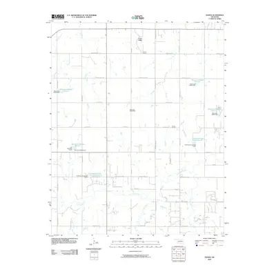
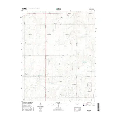
 1970 Navina1971 Print · USGSLogan County farmland and the community of Navina are captured here in 1970, showing the region as its rail-dependent past gave way to modern utility corridors. Researchers can trace the path of an Old Railroad Grade and locate local landmarks like Harmony Cem and Iron Mound.2 unique versions available
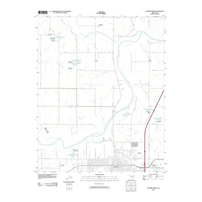
 - 1970 Map of Guthrie North, 1972 Print
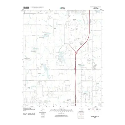
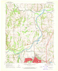 1970 Guthrie North1972 Print · USGSNorth of Guthrie in the early 1970s, the river valley landscape is shaped by the sweeping Cimarron River and its rail corridors. Researchers can locate family landmarks like Summit View Cemetery, the Masonic Temple, and small settlements at Lawrie and Camp Joy.3 unique versions available
 - 1970 Map of Guthrie South, 1972 Print
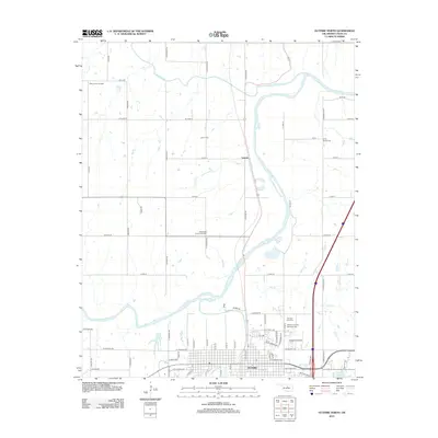
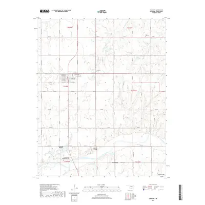
 1970 Guthrie South1972 Print · USGSLogan County, Oklahoma, comes into focus in the early seventies as the area around Guthrie balances its oil production and aviation growth. Researchers can trace family history through Seward Cem, find the old Faubion Sch, or follow the old RR grade.3 unique versions available
 - 1970 Map of Crescent, 1972 Print
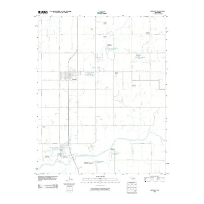
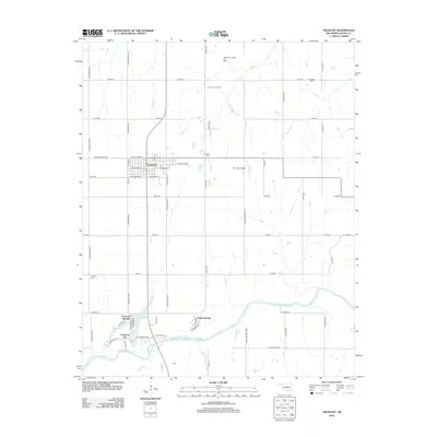
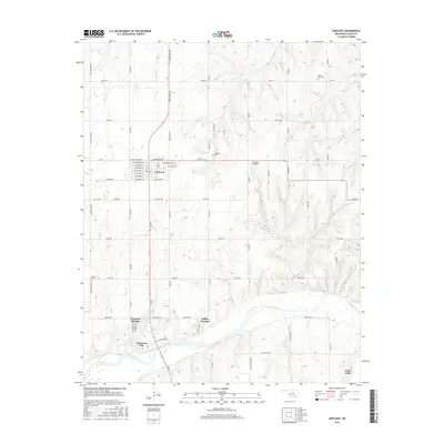
 1970 Crescent1972 Print · USGSCrescent and the Cimarron River valley are shown here at the height of the 1970s oil boom. Local historians can trace the industrial footprint of the East Lovell Oil Field and the Atchison Topeka and Santa Fe railroad alongside historic sites like Knowles Cem.2 unique versions available
 - 1990 Map of Oklahoma City North
 1990 Oklahoma City North1990 Print · USGSOklahoma City and its northern reaches are captured in the 1990s as suburban growth stretched toward the Cimarron River. Genealogists and historians can trace rail-town legacies along the Atchison Topeka and Santa Fe Railroad and find landmarks like the El Reno Federal Reformatory.
 - 2009 Map of Guthrie North, 2009 Print
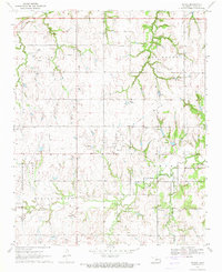
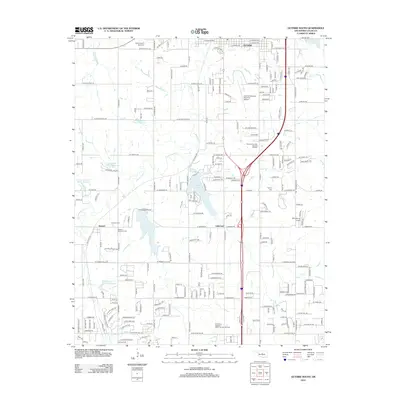
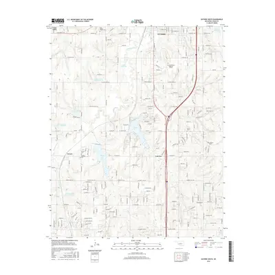
 2009 Guthrie North2009 Print · USGSCovers Cedar Valley, including Guthrie, Lawrie, and other nearby areas
 - 2009 Map of Navina, 2009 Print
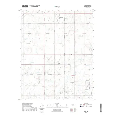
 2009 Navina2009 Print · USGSCovers Cedar Valley, including Guthrie, Navina, and other nearby areas
 - 2009 Map of Crescent, 2009 Print
 2009 Crescent2009 Print · USGSCovers Cedar Valley, including Guthrie, Crescent, and other nearby areas
 - 2010 Map of Guthrie South, 2010 Print
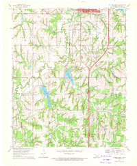
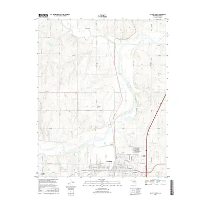
 2010 Guthrie South2010 Print · USGSCovers Cedar Valley, including Guthrie, Lakeview, and other nearby areas
 - 2012 Map of Guthrie South, 2012 Print
 2012 Guthrie South2012 Print · USGSCovers Cedar Valley, including Guthrie, Lakeview, and other nearby areas
 - 2012 Map of Crescent, 2012 Print
 2012 Crescent2012 Print · USGSCovers Cedar Valley, including Guthrie, Crescent, and other nearby areas
 - 2012 Map of Guthrie North, 2012 Print
 2012 Guthrie North2012 Print · USGSCovers Cedar Valley, including Guthrie, Lawrie, and other nearby areas
 - 2012 Map of Navina, 2012 Print
 2012 Navina2012 Print · USGSCovers Cedar Valley, including Guthrie, Navina, and other nearby areas
 - 2016 Map of Guthrie South, 2016 Print
 2016 Guthrie South2016 Print · USGSCovers Cedar Valley, including Guthrie, Lakeview, and other nearby areas
 - 2016 Map of Guthrie North, 2016 Print
 2016 Guthrie North2016 Print · USGSCovers Cedar Valley, including Guthrie, Lawrie, and other nearby areas
 - 2016 Map of Crescent, 2016 Print
 2016 Crescent2016 Print · USGSCovers Cedar Valley, including Guthrie, Crescent, and other nearby areas
 - 2016 Map of Navina, 2016 Print
 2016 Navina2016 Print · USGSCovers Cedar Valley, including Guthrie, Navina, and other nearby areas
 - 2018 Map of Navina, 2018 Print
 2018 Navina2018 Print · USGSCovers Cedar Valley, including Guthrie, Navina, and other nearby areas
 - 2018 Map of Crescent, 2018 Print
 2018 Crescent2018 Print · USGSCovers Cedar Valley, including Guthrie, Crescent, and other nearby areas
Showing maps 1-25 of 31
Top cities near Cedar Valley
- Oklahoma City historical maps
- Edmond historical maps
- Guthrie historical maps
- Piedmont historical maps
- Langston historical maps
- Crescent historical maps
See more
Frequently asked questions
- What are the different types of historical maps available for Cedar Valley?
- What is the oldest map of Cedar Valley?
- Where can I purchase historical maps of Cedar Valley for my home or office?
- Where can I download high-res historical maps of Cedar Valley?
- Are there historical topographic maps available for Cedar Valley?
- Is there historical aerial imagery available for Cedar Valley?
- Where are historical maps of Cedar Valley sourced from?