Old Maps of Langston, Oklahoma for Academic Research
Study the evolution of Langston with 18 high-resolution historic maps. Whether you're teaching, researching, or modeling changes in land use, these maps provide essential visual documentation of urban, environmental, and geographic change.
- Analyze long-term change: Track patterns in development, transportation, and natural features.
- Ideal for environmental or urban studies: Support academic projects with primary historical map data.
- Use in the classroom or lab: Educators and researchers rely on these maps to bring historical context to life.
These maps are a powerful tool for teaching, research, and visualizing how Langston has changed over the decades.
Langston, OK maps
(18)- 1892 Map of Guthrie
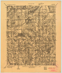 1892 Guthrie1892 Print · USGSGuthrie and the surrounding Logan County landscape are captured here in the early years of the Oklahoma Territory. Researchers can trace the vital Atchison Topeka and Santa Fe RR line and find early settlements like Lowrie and Beulah.
 - 1909 Map of Perkins
 1909 Perkins1909 Print · USGSOklahoma Territory near the turn of the century is a landscape of new rail-side towns and scattered one-room schoolhouses. Genealogists and historians can trace family roots through dozens of named sites like Vim PO, Mt Bethel Church, and Eagle College School.4 unique versions available
 - 1954 Map of Oklahoma City
 1954 Oklahoma City1954 Print · USGSOklahoma City and its surrounding counties are captured here in the early fifties during a period of significant postwar growth. Researchers can trace the development of the Turner Turnpike and locate aviation hubs like Tinker Field or Will Rogers Field.
 - 1957 Map of Oklahoma City, 1969 Print
 1957 Oklahoma City1969 Print · USGSCentral Oklahoma is captured here in a period of significant mid-century growth and industrialization. Researchers can trace family roots through numerous rural markers like Memory Lane Cem, New Hope School, and the sprawling grounds of Tinker Air Force Base.3 unique versions available
 - 1963 Map of Oklahoma City
 1963 Oklahoma City1963 Print · USGSCentral Oklahoma in the early sixties showcases a landscape of rapid suburban growth and established oil production. Researchers can trace historic rail lines like the Chicago Rock Island and Pacific RR or locate rural landmarks such as Mayflower School and Bethel Church.
 - 1970 Map of Langston, 1972 Print
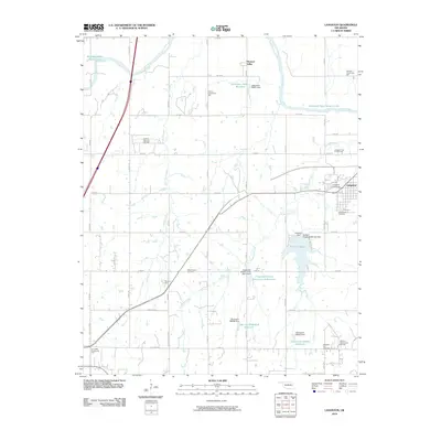
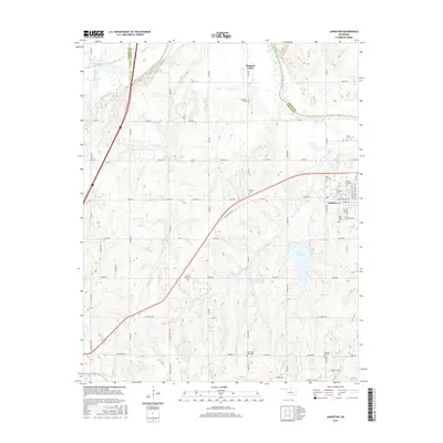
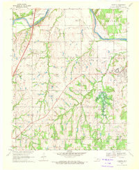 1970 Langston1972 Print · USGSThe Oklahoma countryside near the Logan and Payne county line is captured here just as the landscape was being reshaped by the Langston Dam Under Constr. Researchers can locate Langston University, several family-named community halls, and numerous cemeteries like Mt Hope Cem and Holy Family Cem.3 unique versions available
 - 1978 Map of Coyle, 1979 Print
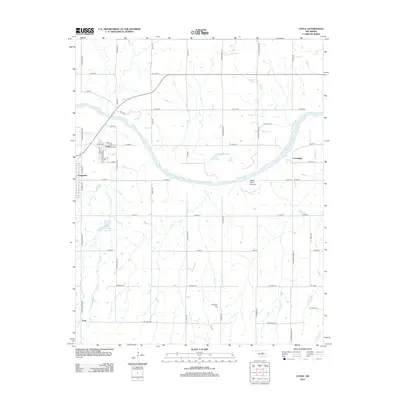
 1978 Coyle1979 Print · USGSNear the banks of the Cimarron River in the late seventies, this landscape reflects a blend of energy production and rural settlement. Genealogists and historians can trace the foundations of Coyle and Langston alongside local landmarks like Paradise Cem and Friends Chapel.
 - 1990 Map of Oklahoma City North
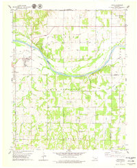
 1990 Oklahoma City North1990 Print · USGSOklahoma City and its northern reaches are captured in the 1990s as suburban growth stretched toward the Cimarron River. Genealogists and historians can trace rail-town legacies along the Atchison Topeka and Santa Fe Railroad and find landmarks like the El Reno Federal Reformatory.
 - 2010 Map of Coyle, 2010 Print
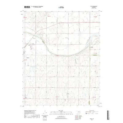
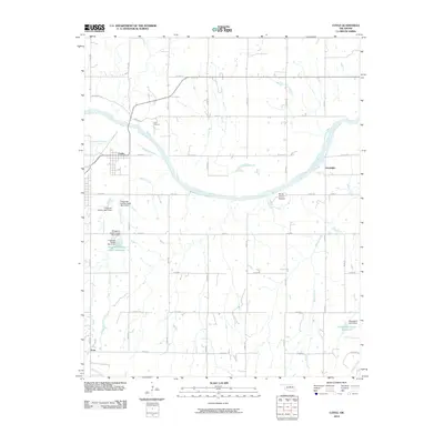 2010 Coyle2010 Print · USGSCovers Langston, including Coyle, Frost, and other nearby areas
 - 2010 Map of Langston, 2010 Print
 2010 Langston2010 Print · USGSCovers Langston, including Guthrie, Pleasant Valley, and other nearby areas
 - 2012 Map of Coyle, 2012 Print
 2012 Coyle2012 Print · USGSCovers Langston, including Coyle, Frost, and other nearby areas
 - 2013 Map of Langston, 2013 Print
 2013 Langston2013 Print · USGSCovers Langston, including Guthrie, Pleasant Valley, and other nearby areas
 - 2016 Map of Coyle, 2016 Print
 2016 Coyle2016 Print · USGSCovers Langston, including Coyle, Frost, and other nearby areas
 - 2016 Map of Langston, 2016 Print
 2016 Langston2016 Print · USGSCovers Langston, including Guthrie, Pleasant Valley, and other nearby areas
 - 2018 Map of Coyle, 2018 Print
 2018 Coyle2018 Print · USGSCovers Langston, including Coyle, Frost, and other nearby areas
 - 2018 Map of Langston, 2018 Print
 2018 Langston2018 Print · USGSCovers Langston, including Guthrie, Pleasant Valley, and other nearby areas
 - 2022 Map of Langston, 2022 Print
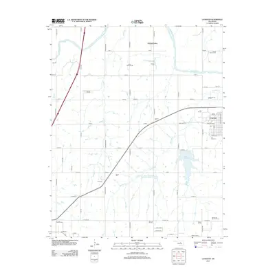
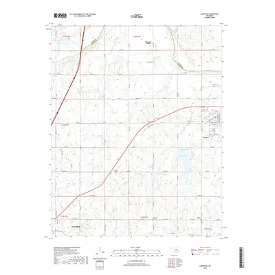
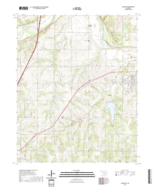 2022 Langston2022 Print · USGSThe Oklahoma prairie surrounding Langston is shown here in the early twenty-first century, centered on its historic university and river valleys. Researchers can trace local family lineages through numerous sites like Beulah Land Cem, Mount Hope Cem, and Pleasant Hill Cem.
 - 2022 Map of Coyle, 2022 Print
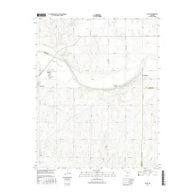
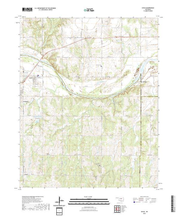 2022 Coyle2022 Print · USGSLogan County in the early twenty-first century reveals a landscape where the Cimarron River still dictates the rhythm of rural life. Family historians and researchers can trace local roots at Iowa City Cem or explore the geography around Goodnight and Horse-Thief Canyon.
End of results
Showing maps 1-18 of 18
Top cities near Langston
- Edmond historical maps
- Stillwater historical maps
- Guthrie historical maps
- Perkins historical maps
- Cedar Valley historical maps
- Coyle historical maps
See more
Frequently asked questions
- What are the different types of historical maps available for Langston?
- What is the oldest map of Langston?
- Where can I purchase historical maps of Langston for my home or office?
- Where can I download high-res historical maps of Langston?
- Are there historical topographic maps available for Langston?
- Is there historical aerial imagery available for Langston?
- Where are historical maps of Langston sourced from?