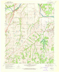
1970 Map of Langston
USGS Topo · Published 1972About this map
Langston University serves as a central hub in this landscape during the early 1970s, situated just west of the town of Langston. This era captures a significant transformation of the local geography with the Langston Dam Under Constr and its associated spillway appearing on the map. The Cimarron River winds across the northern sections, defining the border between Logan and Payne counties near Mulhall and Clarkson.
Find a feature on this map
34 named features on this map. Tap any name to fly to it.
Don’t see what you’re looking for? This feature index may not catch every label — zoom into the map to look around manually.
Map Details
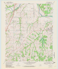
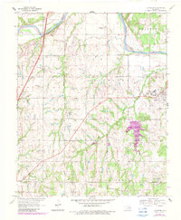
Editions of this 1970 Langston Map
3 editions found
Other maps of this area

1892 · Guthrie
USGS Topo · 1:62,500

1893 · Mulhall
USGS Topo · 1:62,500

1893 · Stillwater
USGS Topo · 1:62,500

1909 · Perkins
USGS Topo · 1:62,500

1954 · Oklahoma City
USGS Topo · 1:250,000

1955 · Enid
USGS Topo · 1:250,000

1957 · Oklahoma City
USGS Topo · 1:250,000

1958 · Enid
USGS Topo · 1:250,000

1963 · Oklahoma City
USGS Topo · 1:250,000
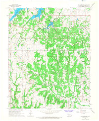
1967 · Stillwater SW
USGS Topo · 1:24,000