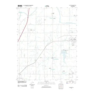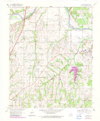
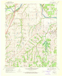
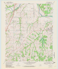
1970 Map of Langston
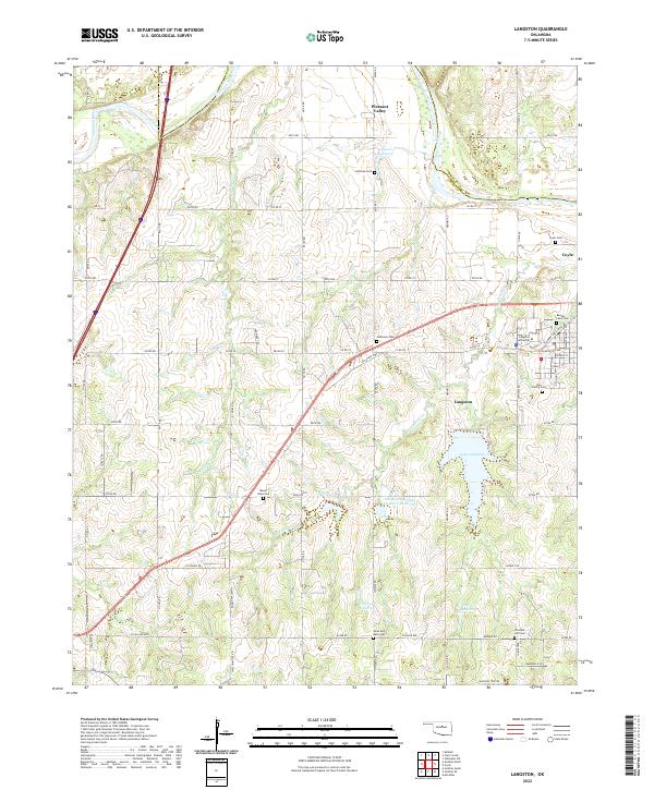
USGS Topo · Published 1983About this map
Langston University serves as a central hub for this portion of the Oklahoma landscape, which underwent significant photorevision updates in the early 1980s. The terrain is defined by the winding course of the Cimarron River as it snakes between Logan and Payne Counties, feeding into localized water bodies like Lake Langston. This era of the map captures a rural social structure anchored by small communal nodes, including the Oakdale Community Hall, Victory Community Hall, and Fair Valley Community Hall. The presence of the Guthrie Gas and Oil Field and scattered Oil Wells highlights the regional reliance on subsurface mineral resources. Genealogists will find a wealth of records in the numerous burial grounds such as Mt Hope Cem and Holy Family Cem, alongside rural landmarks like Centerview Ch that served the outlying farming families of Clarkson and Pleasant Valley.
Find a feature on this map
32 named features on this map. Tap any name to fly to it.
Don’t see what you’re looking for? This feature index may not catch every label — zoom into the map to look around manually.
Map Details
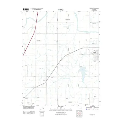
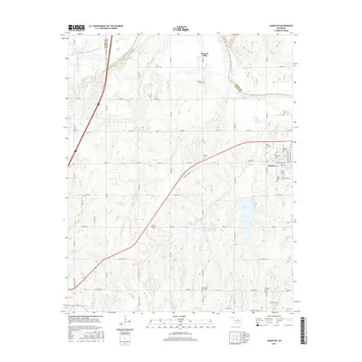
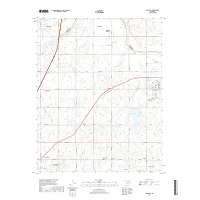
Editions of this 1970 Langston Map
3 editions found
Historical Maps of Guthrie Through Time
6 maps found