Old Maps of Marshall, Oklahoma for Academic Research
Study the evolution of Marshall with 16 high-resolution historic maps. Whether you're teaching, researching, or modeling changes in land use, these maps provide essential visual documentation of urban, environmental, and geographic change.
- Analyze long-term change: Track patterns in development, transportation, and natural features.
- Ideal for environmental or urban studies: Support academic projects with primary historical map data.
- Use in the classroom or lab: Educators and researchers rely on these maps to bring historical context to life.
These maps are a powerful tool for teaching, research, and visualizing how Marshall has changed over the decades.
Marshall, OK maps
(16)- 1893 Map of Lovell
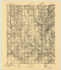 1893 Lovell1893 Print · USGSOklahoma Territory was still in its infancy when this survey was conducted, showing the land just after the first settlers arrived. Genealogists can trace the early locations of Marshall, Sheridan, and Columbia along the banks of Skeleton Creek.
 - 1955 Map of Enid, 1966 Print
 1955 Enid1966 Print · USGSNorth-central Oklahoma's transition from open plains to the blackjack hills of the Osage Indian Reservation is captured in the mid-1950s. Researchers can trace the development of the Naval Reserve Oil Field, the grounds of Vance AFB, and the early footprints of Tulsa and Stillwater.4 unique versions available
 - 1958 Map of Enid
 1958 Enid1958 Print · USGSNorthern Oklahoma is mapped here in the late fifties, showcasing a dense network of petroleum production and historic tribal lands. Researchers can trace the legacy of the Osage Indian Reservation, early energy hubs like the Cushing Oil Field, and the Chilocco Indian Agricultural School.2 unique versions available
 - 1974 Map of Marshall West, 1977 Print
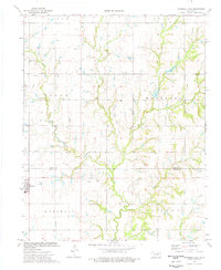
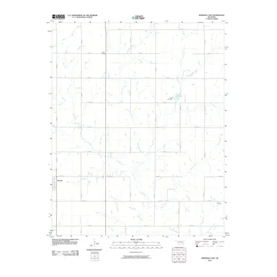
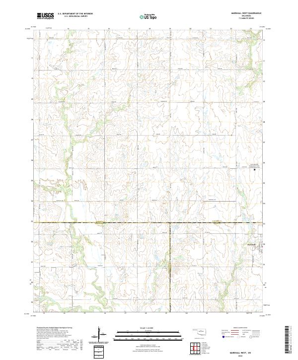
 1974 Marshall West1977 Print · USGSThe borderlands of Garfield, Logan, and Kingfisher counties come alive in the mid-1970s, showing a landscape defined by petroleum extraction and rail transport. Trace the local industry through the Skeleton Oil Field or locate family roots near Marshall and the IOOF Cem.
 - 1974 Map of Marshall East, 1977 Print
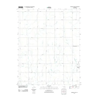
 1974 Marshall East1977 Print · USGSThe Oklahoma prairie at the mid-seventies is captured here as a landscape of agricultural tradition and active petroleum extraction. Researchers can trace rural family histories at Bethel Cem and Bocox Cem or locate industrial sites like the Oil Well near Marshall.
 - 1990 Map of Enid
 1990 Enid1990 Print · USGSNorth-central Oklahoma's aviation and energy hubs are captured in the 1990s, from the streets of Stillwater to the runways of Vance Air Force Base. Researchers can locate active Oil and Gas Fields and trace local waterways like Skeleton Creek and Black Bear Creek.
 - 2010 Map of Marshall West, 2010 Print
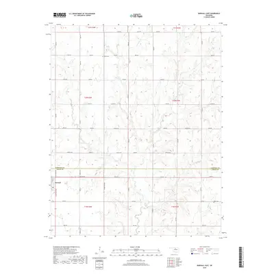
 2010 Marshall West2010 Print · USGSCovers Marshall, including Garfield County, Logan County, and other nearby areas
 - 2010 Map of Marshall East, 2010 Print
 2010 Marshall East2010 Print · USGSCovers Marshall, including Garfield County, Logan County, and other nearby areas
 - 2012 Map of Marshall West, 2012 Print
 2012 Marshall West2012 Print · USGSCovers Marshall, including Garfield County, Logan County, and other nearby areas
 - 2012 Map of Marshall East, 2012 Print
 2012 Marshall East2012 Print · USGSCovers Marshall, including Garfield County, Logan County, and other nearby areas
 - 2016 Map of Marshall East, 2016 Print
 2016 Marshall East2016 Print · USGSCovers Marshall, including Garfield County, Logan County, and other nearby areas
 - 2016 Map of Marshall West, 2016 Print
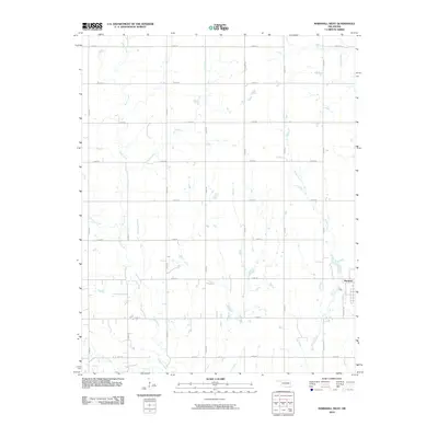
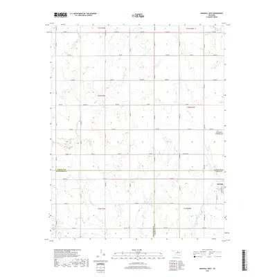
 2016 Marshall West2016 Print · USGSCovers Marshall, including Garfield County, Logan County, and other nearby areas
 - 2018 Map of Marshall West, 2018 Print
 2018 Marshall West2018 Print · USGSCovers Marshall, including Garfield County, Logan County, and other nearby areas
 - 2018 Map of Marshall East, 2018 Print
 2018 Marshall East2018 Print · USGSCovers Marshall, including Garfield County, Logan County, and other nearby areas
 - 2022 Map of Marshall West, 2022 Print
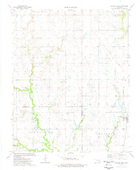
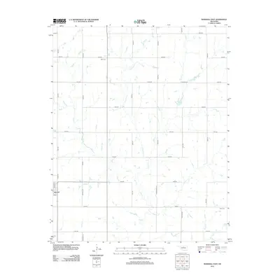
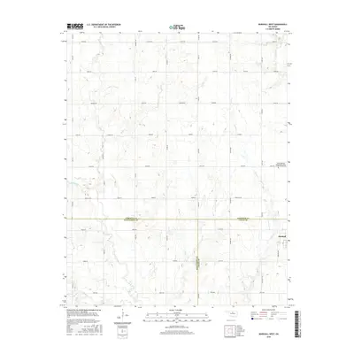
 2022 Marshall West2022 Print · USGSOklahoma's northern plains are documented here at the meeting point of three counties in the early twenty-first century. Genealogists can locate the North Marshall IOOF Cemetery and trace the drainage patterns of Skeleton Cr and Wolf Cr.
 - 2022 Map of Marshall East, 2022 Print
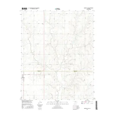
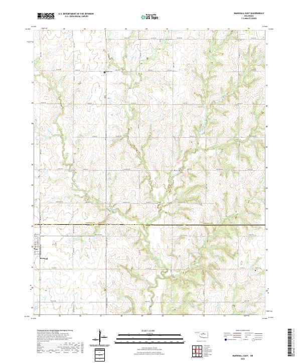 2022 Marshall East2022 Print · USGSThe Oklahoma prairie north of Oklahoma City is captured here in the early 2020s, showing the enduring agricultural grid of Garfield and Logan Counties. Researchers can locate family landmarks such as Bethel Cem and Bocox Cem or trace the winding course of Four-D Creek and Otter Creek.
End of results
Showing maps 1-16 of 16
Top cities near Marshall
- Enid historical maps
- Crescent historical maps
- Covington historical maps
- Fairmont historical maps
- Douglas historical maps
Frequently asked questions
- What are the different types of historical maps available for Marshall?
- What is the oldest map of Marshall?
- Where can I purchase historical maps of Marshall for my home or office?
- Where can I download high-res historical maps of Marshall?
- Are there historical topographic maps available for Marshall?
- Is there historical aerial imagery available for Marshall?
- Where are historical maps of Marshall sourced from?