Old Maps of Mayes County, Oklahoma for Genealogy
Trace your family roots with 129 historic maps of Mayes County. These high-res maps reveal old neighborhoods, homesites, landmarks, and streets — helping you uncover where your ancestors lived and how the area evolved over time.
- Explore historic neighborhoods: Identify where your relatives may have lived in the 1800s or 1900s.
- Compare maps over time: Trace the changes in streets, buildings, and landmarks for multi-generational research.
- Perfect for genealogy & ancestry research: Used by family historians and researchers to map out lineage and migration.
These maps are an incredible resource for exploring your personal connection to Mayes County's past.
Mayes County, OK maps
(129)- 1896 Map of Pryor, 1963 Print
 1896 Pryor1963 Print · USGSThe Cherokee Nation comes into focus during the late nineteenth century as railroads began to transform the Indian Territory landscape. Genealogists and historians can trace essential river crossings like Sixkiller Ferry and Adams Ford or locate early settlements such as Bushyhead and Mazie.
 - 1901 Map of Vinita
 1901 Vinita1901 Print · USGSIndian Territory at the turn of the century shows a landscape of burgeoning railroad towns and Cherokee Nation settlements. Genealogists can trace family roots in early townsites like Vinita, Bluejacket, and Chelsea or locate rural homesteads near Cabin Creek.2 unique versions available
 - 1901 Map of Pryor
 1901 Pryor1901 Print · USGSIndian Territory at the turn of the century shows a landscape transitioning from tribal lands to a rail-connected frontier. Genealogists and historians can trace early river crossings like Markham Ferry and Dirteater Ford alongside frontier settlements like Choteau and Bushyhead.5 unique versions available
 - 1913 Map of Vinita
 1913 Vinita1913 Print · USGSNortheast Oklahoma at the height of its rail-and-ranch era is meticulously detailed here just as the state was entering its second decade. Genealogists can trace family roots through dozens of local landmarks like W H School, Big Cabin, and the Blue Hawk School.3 unique versions available
 - 1954 Map of Tulsa
 1954 Tulsa1954 Print · USGSNortheast Oklahoma and the Ozark border are shown here during a period of massive industrial and infrastructure growth. Researchers can trace the legacy of the Tri-State Mining District and the development of major reservoirs like Grand Lake O' The Cherokees.2 unique versions available
 - 1958 Map of Tulsa, 1968 Print
 1958 Tulsa1968 Print · USGSNortheast Oklahoma and the Ozark borderlands are captured here during a massive era of reservoir construction and highway expansion. Researchers can trace the mid-century footprints of Tulsa, the sprawling Lake O' the Cherokees, and historical sites like Pea Ridge National Military Park.3 unique versions available
 - 1963 Map of Tulsa
 1963 Tulsa1963 Print · USGSThe Oklahoma and Arkansas borderlands are shown here in the early sixties, a time of massive reservoir construction and heavy mining. Genealogists can trace family roots through settlements like Nowata, Pryor, and Jay, or locate historical zinc and lead mines and coal mines.
 - 1963 Map of Neodesha, 1964 Print
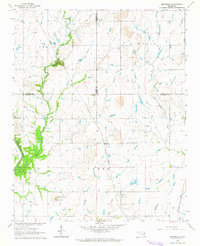 1963 Neodesha1964 Print · USGSWagoner County and its neighbors are captured in the early sixties, showing the rural landscape just as mid-century infrastructure was maturing. Genealogists can locate Lone Star Ch, Willow Cem, and the tracks of the Missouri Pacific railroad.2 unique versions available
 - 1969 Map of Adair, 1971 Print
 1969 Adair1971 Print · USGSMayes County at the end of the sixties shows a landscape of prairie hills and growing transit corridors. Genealogists and local historians can trace the community through Adair, Pleasant Hope Ch, and the landmark Jesse James Hill.
 - 1970 Map of Bushyhead, 1971 Print
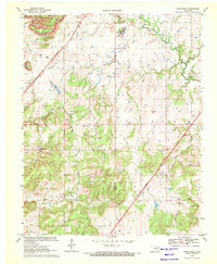 1970 Bushyhead1971 Print · USGSNorth of Claremore in the early seventies, this Rogers County landscape shows a mix of traditional prairie life and heavy industry. Genealogists can trace family landmarks like Dawes Cem and Beck Cem, while mapping the impact of the Strip Mine operations and the St Louis - San Francisco railroad.2 unique versions available
 - 1970 Map of Chelsea, 1972 Print
 1970 Chelsea1972 Print · USGSNortheast Oklahoma's extraction landscape is on full display during the early 1970s, as coal and oil operations surround the town of Chelsea. Researchers can trace family history at Shady Grove Cem and Snider Cem or locate industrial sites like the many Strip Mines and the St Louis - San Francisco rail line.3 unique versions available
 - 1970 Map of Osage Hills, 1972 Print
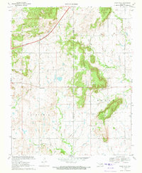 1970 Osage Hills1972 Print · USGSNortheast Oklahoma's rural landscape is captured here in the early seventies, showing the intersection of new infrastructure and established local settlements. Genealogists and historians can trace family-named sites like Vann Cem and Union Chapel, or explore the development around Harmony Star and the Will Rogers Toll Road.2 unique versions available
 - 1970 Map of Chouteau NW, 1972 Print
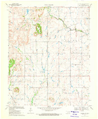 1970 Chouteau NW1972 Print · USGSNortheast Oklahoma at the start of the seventies reveals a rural landscape anchored by the Missouri Pacific railroad and family-centered landmarks. Genealogists and local historians can locate the Amish Cem, Brethren Cem, and the prominent Scaly Bark Mountain.
 - 1970 Map of White Oak, 1972 Print
 1970 White Oak1972 Print · USGSThe Cherokee Nation countryside at the start of the 1970s shows a landscape of rail-driven settlements and emerging turnpike travel. Researchers can locate family landmarks like Shawnee Cem, Condry Ch, and the workings of the Catale Oil Field.2 unique versions available
 - 1970 Map of Chouteau, 1972 Print
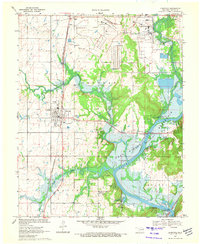 1970 Chouteau1972 Print · USGSMayes County in the early seventies shows a landscape defined by the arrival of heavy industry and the winding waters of the Neosho. Researchers can trace family sites like Sixkiller Cem and Lusta or explore the recreational shoreline at Mission Bend Public Use Area.4 unique versions available
 - 1970 Map of Rocky Point, 1972 Print
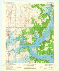 1970 Rocky Point1972 Print · USGSThe shorelines of the Fort Gibson Reservoir and Neosho River define this part of Wagoner and Mayes counties in the early seventies. Researchers can locate early burial sites like Union Mission Cem, the village of Mazie, and the track of the Old RR Grade.2 unique versions available
 - 1970 Map of Pryor, 1972 Print
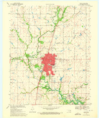 1970 Pryor1972 Print · USGSPryor and the surrounding Mayes County plains are captured here in the early seventies as industrial and residential growth shaped the landscape. Genealogists and local historians can locate the Whitaker State Childrens Home, trace the Missouri-Kansas-Texas rail line, or find family plots in Fairview and Graham Memorial Cem.2 unique versions available
 - 1971 Map of Salina, 1973 Print
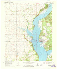 1971 Salina1973 Print · USGSThe community of Salina and the expansive Lake Hudson are captured here in the early seventies during a period of growth and infrastructure development. Genealogists and local historians can locate Salina School, old church sites like Cole Ch, and the remnant Old RR Grade along the riverbanks.
 - 1971 Map of Strang, 1973 Print
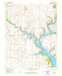 1971 Strang1973 Print · USGSMayes County settlement and the Neosho River watershed are captured here in the early seventies during the era of Lake Hudson. Genealogists and local historians can trace rural family roots at Ghormley Cem and Benge Cem or locate the Old Railroad Grade near Strang.
 - 1971 Map of Big Cabin, 1973 Print
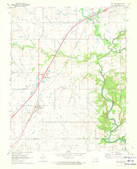 1971 Big Cabin1973 Print · USGSBig Cabin and the surrounding Craig County countryside appear here in the early seventies during the height of the toll road era. Genealogists and local historians can locate Landrum Cem, Big Cabin Cem, and the site of Ironside Sch.
 - 1971 Map of Ketchum, 1973 Print
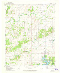 1971 Ketchum1973 Print · USGSNortheastern Oklahoma at the start of the 1970s shows a landscape shaped by massive water projects and established rural communities. Genealogists can locate family landmarks like Carselowey Cem, the Foursquare Gospel Ch, and the small settlement of Success.
 - 1971 Map of Salina SE, 1973 Print
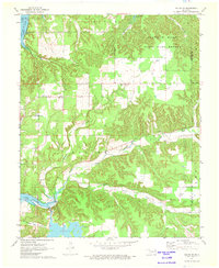 1971 Salina SE1973 Print · USGSMayes County in the early 1970s features a rugged landscape of wooded hills and major water projects. Local historians and genealogists can trace family roots through landmarks like Ross Mayes Cem, Blue Springs Ch, and Wickliffe Sch.2 unique versions available
 - 1971 Map of Spavinaw, 1973 Print
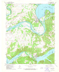 1971 Spavinaw1973 Print · USGSOklahoma's lake country is captured here in the early seventies, dominated by the massive engineering of the Pensacola Dam. Researchers can trace old family sites at Military Cem, explore the town of Spavinaw, or follow the Old Grade Railroad.
 - 1972 Map of Peggs, 1974 Print
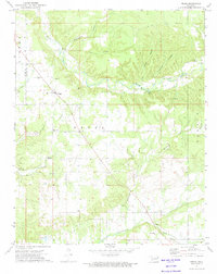 1972 Peggs1974 Print · USGSSettled rural Cherokee County comes into focus in the early seventies, centered on the community of Peggs. Local researchers can trace family landmarks like Peggs Cem, Gideon, and country churches including Blue Springs Ch and New Home Ch.
 - 1972 Map of Cedar Crest, 1974 Print
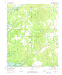 1972 Cedar Crest1974 Print · USGSThe eastern shores of Fort Gibson Lake are shown here in the early 1970s, where Mayes, Wagoner, and Cherokee counties meet. Local historians can trace family sites like Gray Cem and Downing Cem or follow the route to Earbob Ferry.
Showing maps 1-25 of 129
Top cities of Mayes County
- Pryor Creek historical maps
- Chouteau historical maps
- Locust Grove historical maps
- Salina historical maps
- Adair historical maps
- Langley historical maps
See more
Frequently asked questions
- What are the different types of historical maps available for Mayes County?
- What is the oldest map of Mayes County?
- Where can I purchase historical maps of Mayes County for my home or office?
- Where can I download high-res historical maps of Mayes County?
- Are there historical topographic maps available for Mayes County?
- Is there historical aerial imagery available for Mayes County?
- Where are historical maps of Mayes County sourced from?