2000s (21st Century) Maps of Mayes County, Oklahoma
Explore 100 historic maps of Mayes County from the 2000s (21st Century). These maps offer a rare glimpse into what life looked like during the 2000s — showing old roads, neighborhoods, homes, and landmarks that have changed or disappeared over time.
Whether you're researching your family's past, planning a metal detecting trip, or studying how Mayes County's landscape evolved across the 2000s, these high-resolution maps are a powerful tool for exploring the history of this region.
- Focus on a specific era: All maps on this page are from the 2000s, giving you a focused view of this time period.
- See what’s changed: Compare century-old streets, trails, and buildings to today's modern landscape using overlays and satellite layers.
- Research with precision: Use these maps for genealogy, historical research, land use analysis, or educational projects.
- View, download, or print: Maps are fully viewable online in high resolution, and can be downloaded or printed for your own records.
Start exploring Mayes County's history through authentic maps from the 2000s. This is your window into the past.
Mayes County, OK maps
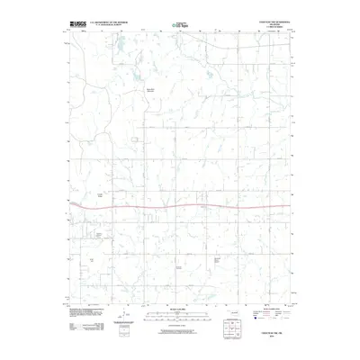
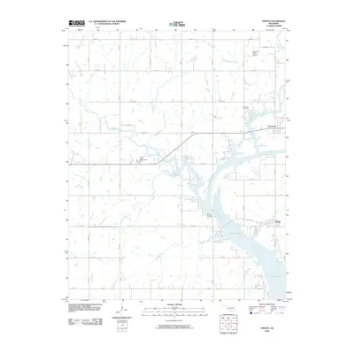
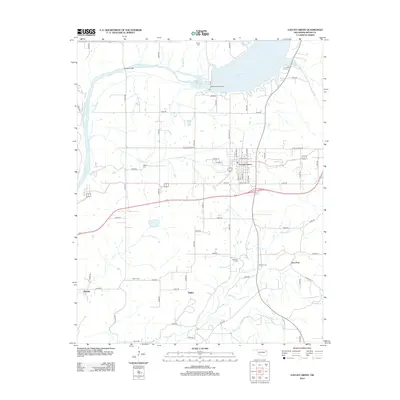
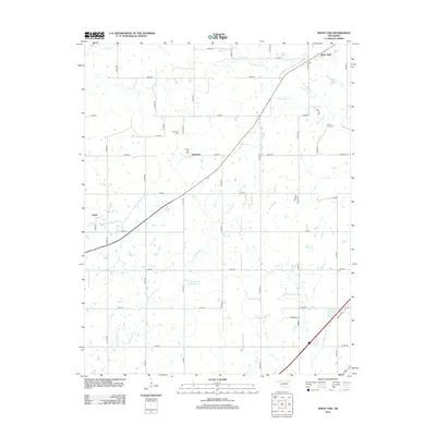
(100)- 2010 Map of White Oak, 2010 Print
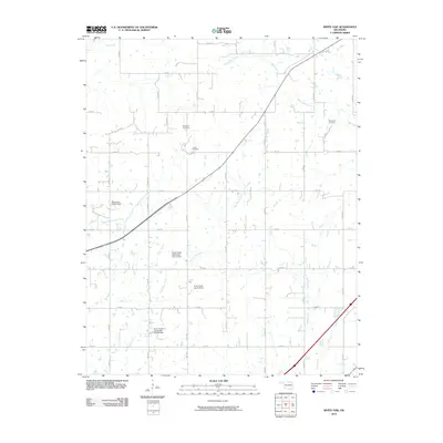 2010 White Oak2010 Print · USGSCovers Mayes County, including Vinita, Catale, and other nearby areas
 - 2010 Map of Big Cabin, 2010 Print
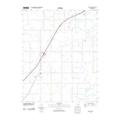 2010 Big Cabin2010 Print · USGSCovers Mayes County, including Vinita, Big Cabin, and other nearby areas
 - 2010 Map of Ketchum, 2010 Print
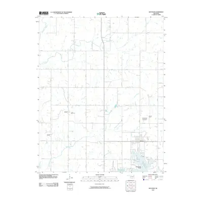 2010 Ketchum2010 Print · USGSCovers Mayes County, including Ketchum, Grand Lake Towne, and other nearby areas
 - 2010 Map of Osage Hills, 2010 Print
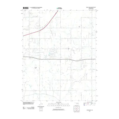 2010 Osage Hills2010 Print · USGSCovers Mayes County, including Claremore, Harmony Star, and other nearby areas
 - 2010 Map of Chelsea, 2010 Print
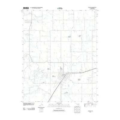 2010 Chelsea2010 Print · USGSCovers Mayes County, including Chelsea, New Alluwe, and other nearby areas
 - 2010 Map of Neodesha, 2010 Print
 2010 Neodesha2010 Print · USGSCovers Mayes County, including Wagoner, Keith, and other nearby areas
 - 2010 Map of Rose, 2010 Print
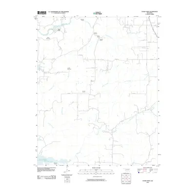
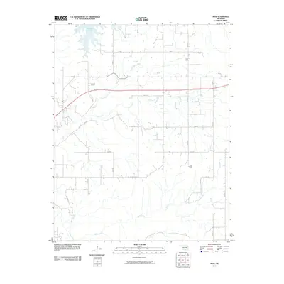 2010 Rose2010 Print · USGSCovers Mayes County, including Snake Creek, Rose, and other nearby areas
 - 2010 Map of Chouteau, 2010 Print
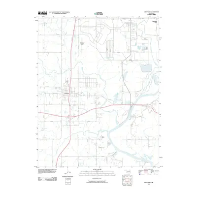 2010 Chouteau2010 Print · USGSCovers Mayes County, including Pryor Creek, Chouteau, and other nearby areas
 - 2010 Map of Chouteau NW, 2010 Print
 2010 Chouteau NW2010 Print · USGSCovers Mayes County, including Claremore, Inola, and other nearby areas
 - 2010 Map of Rocky Point, 2010 Print
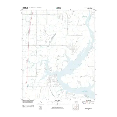 2010 Rocky Point2010 Print · USGSCovers Mayes County, including Wagoner, Yonkers, and other nearby areas
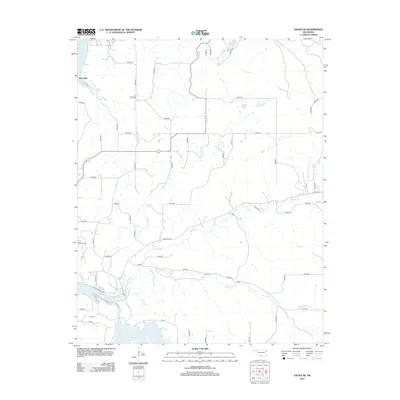
 - 2010 Map of Adair, 2010 Print
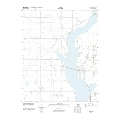
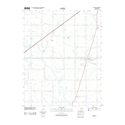 2010 Adair2010 Print · USGSCovers Mayes County, including Adair, Patton, and other nearby areas
 - 2010 Map of Spavinaw, 2010 Print
 2010 Spavinaw2010 Print · USGSCovers Mayes County, including Langley, Spavinaw, and other nearby areas
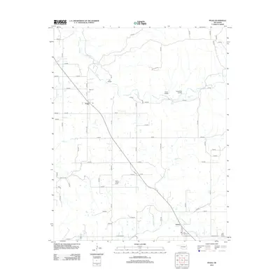
 - 2010 Map of Strang, 2010 Print
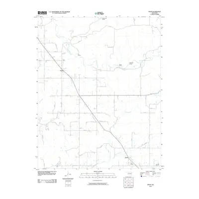
 2010 Strang2010 Print · USGSCovers Mayes County, including Adair, Strang, and other nearby areas
 - 2010 Map of Salina SE, 2010 Print
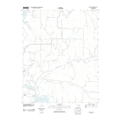 2010 Salina SE2010 Print · USGSCovers Mayes County, including Hoot Owl, Delaware County, and other nearby areas
 - 2010 Map of Pryor, 2010 Print
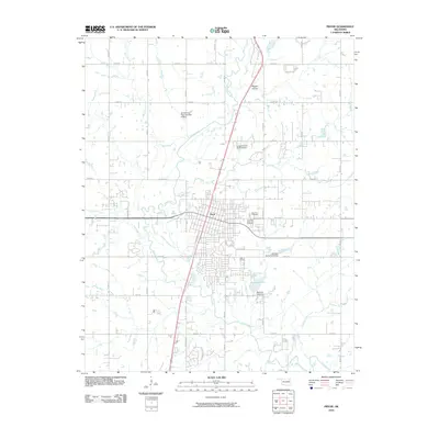 2010 Pryor2010 Print · USGSCovers Mayes County, including Pryor Creek, United States, and other nearby areas
 - 2010 Map of Bushyhead, 2010 Print
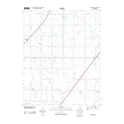 2010 Bushyhead2010 Print · USGSCovers Mayes County, including Claremore, Bushyhead, and other nearby areas
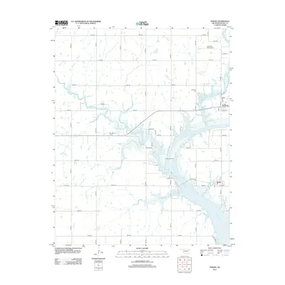
 - 2010 Map of Salina, 2010 Print
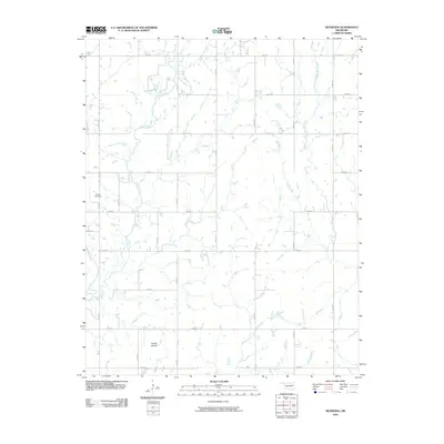
 2010 Salina2010 Print · USGSCovers Mayes County, including Salina, Tip, and other nearby areas
 - 2010 Map of Peggs, 2010 Print
 2010 Peggs2010 Print · USGSCovers Mayes County, including Peggs, Gideon, and other nearby areas
 - 2010 Map of Cedar Crest, 2010 Print
 2010 Cedar Crest2010 Print · USGSCovers Mayes County, including Cedar Crest, Wagoner County, and other nearby areas
 - 2010 Map of Locust Grove, 2010 Print
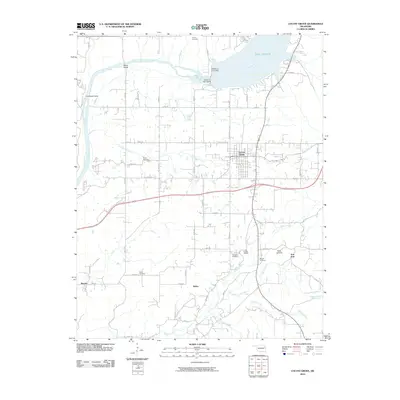 2010 Locust Grove2010 Print · USGSCovers Mayes County, including Locust Grove, Sportsmen Acres, and other nearby areas
 - 2012 Map of Locust Grove, 2012 Print
 2012 Locust Grove2012 Print · USGSCovers Mayes County, including Locust Grove, Sportsmen Acres, and other nearby areas
 - 2012 Map of Salina SE, 2012 Print
 2012 Salina SE2012 Print · USGSCovers Mayes County, including Hoot Owl, Delaware County, and other nearby areas
 - 2012 Map of Peggs, 2012 Print
 2012 Peggs2012 Print · USGSCovers Mayes County, including Peggs, Gideon, and other nearby areas
 - 2012 Map of Strang, 2012 Print
 2012 Strang2012 Print · USGSCovers Mayes County, including Adair, Strang, and other nearby areas
 - 2012 Map of White Oak, 2012 Print
 2012 White Oak2012 Print · USGSCovers Mayes County, including Vinita, Catale, and other nearby areas
Showing maps 1-25 of 100
Top cities of Mayes County
- Pryor Creek historical maps
- Chouteau historical maps
- Locust Grove historical maps
- Salina historical maps
- Adair historical maps
- Langley historical maps
See more
Frequently asked questions
- What are the different types of historical maps available for Mayes County?
- What is the oldest map of Mayes County?
- Where can I purchase historical maps of Mayes County for my home or office?
- Where can I download high-res historical maps of Mayes County?
- Are there historical topographic maps available for Mayes County?
- Is there historical aerial imagery available for Mayes County?
- Where are historical maps of Mayes County sourced from?