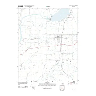
2010 Map of Locust Grove
USGS Topo · Published 2010About this map
Lake Hudson and the Neosho River dominate the northern landscape of this Oklahoma region, where the Markham Ferry Dam and Robert S Kerr Dam control the local hydrology. The town of Locust Grove serves as the central hub, surrounded by smaller communities such as Ballou, Murphy, and Iron Post. The area is marked by a high density of rural burial grounds, including Bryan Cemetery and Haner Cemetery, providing a clear record of local family lineages.
Find a feature on this map
51 named features on this map. Tap any name to fly to it.
Don’t see what you’re looking for? This feature index may not catch every label — zoom into the map to look around manually.
Map Details
Editions of this 2010 Locust Grove Map
This is the sole edition of this map. No revisions or reprints were ever made.
Other maps of this area

1896 · Pryor
USGS Topo · 1:125,000

1901 · Pryor
USGS Topo · 1:125,000

1954 · Tulsa
USGS Topo · 1:250,000

1958 · Tulsa
USGS Topo · 1:250,000

1963 · Tulsa
USGS Topo · 1:250,000
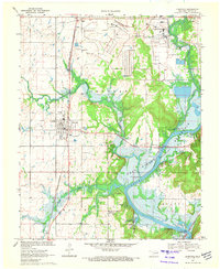
1970 · Chouteau
USGS Topo · 1:24,000
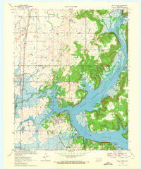
1970 · Rocky Point
USGS Topo · 1:24,000
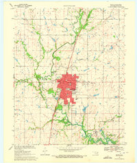
1970 · Pryor
USGS Topo · 1:24,000
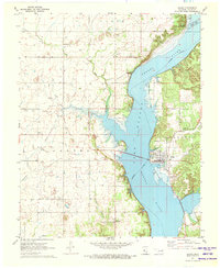
1971 · Salina
USGS Topo · 1:24,000
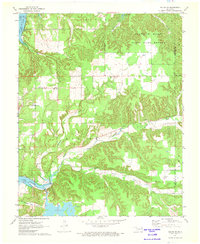
1971 · Salina SE
USGS Topo · 1:24,000