2010s Maps of Mayes County, Oklahoma
Explore 80 historic maps of Mayes County from the 2010s. These maps offer a rare glimpse into what life looked like during the 2010s — showing old roads, neighborhoods, homes, and landmarks that have changed or disappeared over time.
Whether you're researching your family's past, planning a metal detecting trip, or studying how Mayes County's landscape evolved across the 2010s, these high-resolution maps are a powerful tool for exploring the history of this region.
- Focus on a specific era: All maps on this page are from the 2010s, giving you a focused view of this time period.
- See what’s changed: Compare century-old streets, trails, and buildings to today's modern landscape using overlays and satellite layers.
- Research with precision: Use these maps for genealogy, historical research, land use analysis, or educational projects.
- View, download, or print: Maps are fully viewable online in high resolution, and can be downloaded or printed for your own records.
Start exploring Mayes County's history through authentic maps from the 2010s. This is your window into the past.
Mayes County, OK maps
(80)- 2010 Map of White Oak, 2010 Print
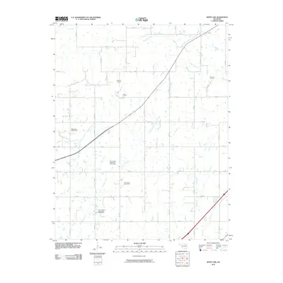 2010 White Oak2010 Print · USGSNortheastern Oklahoma's rural landscape is captured here at the start of the twenty-first century, showing a mix of resource extraction and local heritage. Researchers can locate family sites near the Shawnee Cemetery and trace the extent of the Catale Oil Field.
 - 2010 Map of Big Cabin, 2010 Print
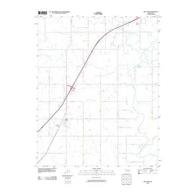 2010 Big Cabin2010 Print · USGSOklahoma's rural Craig County is captured here in the early twenty-first century, centered on the historic crossroads of Big Cabin. Genealogists and local researchers can trace family landmarks like Big Cabin Cemetery and Landrum Cemetery.
 - 2010 Map of Ketchum, 2010 Print
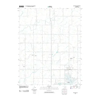 2010 Ketchum2010 Print · USGSNear the northern reaches of the Ozark foothills, this map shows the rural character and lakeside development of Craig County in 2010. Researchers can locate family sites like the Old Ketchum Cemetery and trace the shores of Grand Lake O' The Cherokees.
 - 2010 Map of Osage Hills, 2010 Print
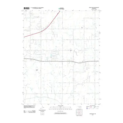 2010 Osage Hills2010 Print · USGSOklahoma's Rogers County reflects a blend of rural tradition and aviation growth during the early twenty-first century. Genealogists and local historians can locate Vann Cemetery, trace the path of Seminole Creek, and see the footprint of Claremore Municipal Airport.
 - 2010 Map of Chelsea, 2010 Print
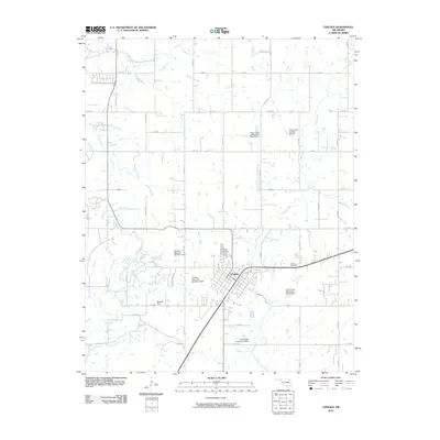 2010 Chelsea2010 Print · USGSChelsea and its surrounding Rogers County farmsteads are captured in the early 21st century. Genealogists can locate family sites like Snider Cemetery and Monarch Field or trace the managed waters of Pryor Creek and its many watershed dams.
 - 2010 Map of Neodesha, 2010 Print
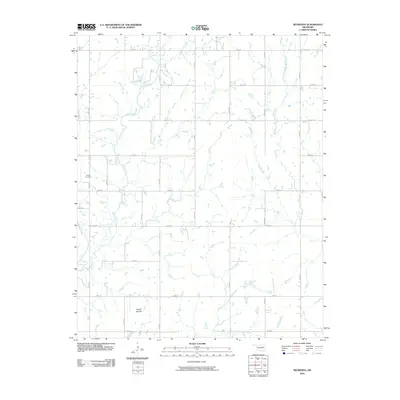 2010 Neodesha2010 Print · USGSWagoner County is shown at the turn of the decade as a rural network of farm-to-market roads and quiet creek valleys. Genealogists and local historians can locate Willow Cemetery, trace the path of Billy Creek, and identify the unique landform of Osage Mound.
 - 2010 Map of Rose, 2010 Print
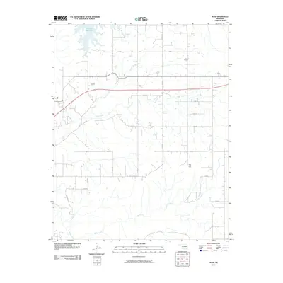 2010 Rose2010 Print · USGSMayes County’s rural landscape is captured here in the early twenty-first century as the countryside remained centered on family lands and waterways. Local researchers can locate family burial sites at Rose Cemetery and Little Rock Cemetery or trace the winding course of Snake Creek.
 - 2010 Map of Chouteau, 2010 Print
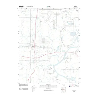 2010 Chouteau2010 Print · USGSChouteau and the Neosho River valley are captured here in the early twenty-first century, showing a mix of industrial utility and historic local landmarks. Researchers can locate family burial grounds like Sixkiller and Alberty Cemetery, or trace the development around Mid-America Industrial Airport.
 - 2010 Map of Chouteau NW, 2010 Print
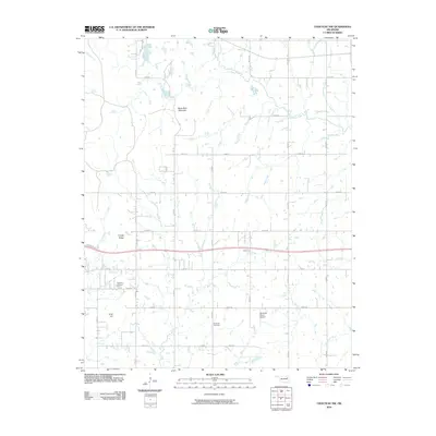 2010 Chouteau NW2010 Print · USGSOklahoma's Rogers County countryside is shown here in the early twenty-first century as a landscape of grid-roads and high points. Genealogists and historians can locate the Highland Cemetery, Brethren Cemetery, and Buzzards Roost Airport.
 - 2010 Map of Rocky Point, 2010 Print
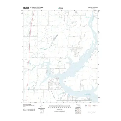 2010 Rocky Point2010 Print · USGSThe Neosho River corridor in Wagoner County is captured here just over a decade ago, showing a landscape defined by its winding waterways and reservoirs. Trace local history at the Union Mission Cemetery or follow the path of Poindexter Ferry Rd toward the Big Bend.
 - 2010 Map of Adair, 2010 Print
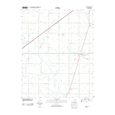 2010 Adair2010 Print · USGSAdair and the surrounding Mayes County ranchlands are captured here in the early twenty-first century. Researchers can trace family sites near Rider Cemetery or explore local landmarks like Jesse James Hill and Whiskey Gap.
 - 2010 Map of Spavinaw, 2010 Print
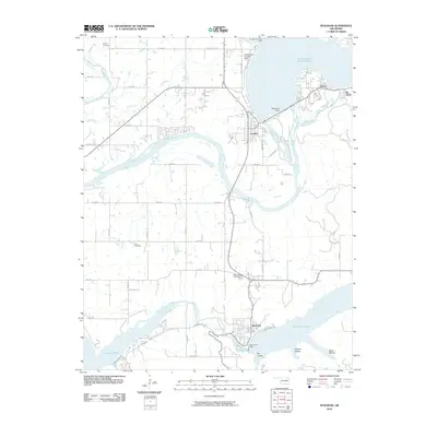 2010 Spavinaw2010 Print · USGSThe Neosho River valley and its massive reservoir systems define this corner of Oklahoma. Researchers can trace the shoreline of Grand Lake O' The Cherokees and locate landmarks like the Pensacola Dam, Spavinaw Cemetery, and the Grandcraft Landing Strip.
 - 2010 Map of Strang, 2010 Print
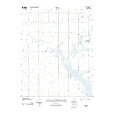 2010 Strang2010 Print · USGSMayes County settlement and the Neosho River watershed are captured here just after the turn of the twenty-first century. Researchers can trace family history at Ghormley Cemetery or Benge Cemetery and locate landmarks like Stearmans Roost Airport.
 - 2010 Map of Salina SE, 2010 Print
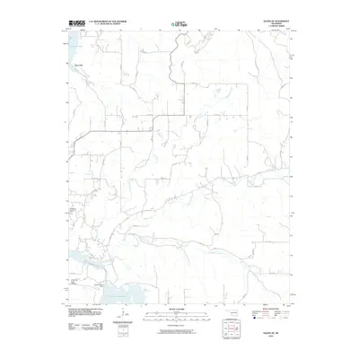 2010 Salina SE2010 Print · USGSEastern Oklahoma's rural landscape comes into focus here during the early twenty-first century, centered on the Hoot Owl settlement. Genealogists can locate the Ross Mayes Cemetery while researchers trace the waters of Saline Creek and the Chimney Rock Dam.
 - 2010 Map of Pryor, 2010 Print
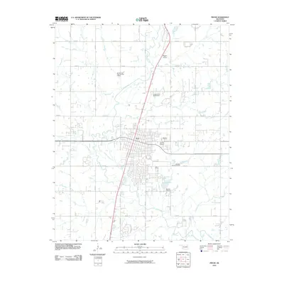 2010 Pryor2010 Print · USGSPryor and its surrounding Mayes County landscape are documented here at the end of the first decade of the 2000s. Researchers can trace local lineage at Fairview Cemetery and Graham Memorial Cemetery or explore the hydrology of Pryor Creek and Scarbow Lake.
 - 2010 Map of Bushyhead, 2010 Print
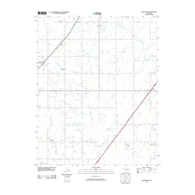 2010 Bushyhead2010 Print · USGSNortheast Oklahoma’s rural landscape is captured here just after the turn of the millennium, showing a network of creeks and section-line roads. Genealogists can locate several family landmarks and burial sites, such as Lone Chapel Cemetery, Dawes Cemetery, and the community of Bushyhead.
 - 2010 Map of Salina, 2010 Print
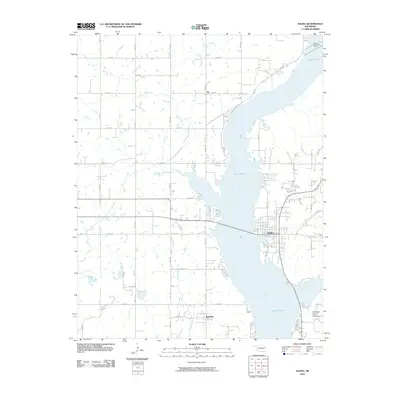 2010 Salina2010 Print · USGSThe Neosho River valley and Lake Hudson shoreline define the landscape of eastern Oklahoma in this 2010 survey. Researchers can trace the layout of Salina, the rural settlement of Boatman, and geographic landmarks like Chimney Rock Hollow.
 - 2010 Map of Peggs, 2010 Print
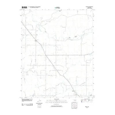 2010 Peggs2010 Print · USGSCherokee County at the opening of the 21st century maintains a deeply rural character defined by wooded hollows and creek beds. Genealogists can locate Peggs Cemetery and Blue Springs Cemetery near the communities of Peggs and Gideon.
 - 2010 Map of Cedar Crest, 2010 Print
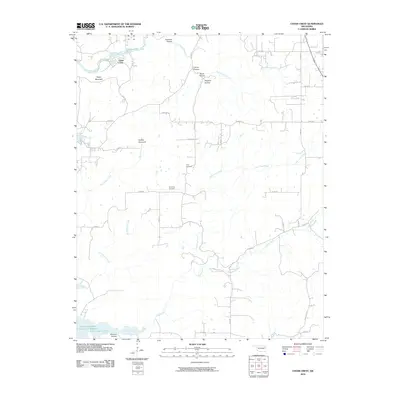 2010 Cedar Crest2010 Print · USGSCedar Crest and the surrounding hollows of Mayes County appear here in the early twenty-first century. Genealogists and local historians can locate Gray Cemetery and Downing Cemetery, or trace the winding courses of Spring Creek and Little Clear Creek through the wooded terrain.
 - 2010 Map of Locust Grove, 2010 Print
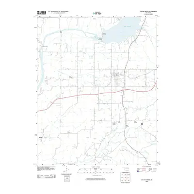 2010 Locust Grove2010 Print · USGSLocust Grove and the surrounding Mayes County countryside are captured here in the early twenty-first century as the landscape adapted to the management of the Neosho River. Researchers can trace family roots at Bryan Cemetery or explore the geography near Lake Hudson and the Robert S Kerr Dam.
 - 2012 Map of Locust Grove, 2012 Print
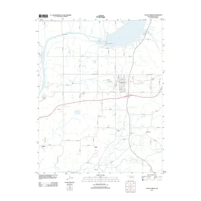 2012 Locust Grove2012 Print · USGSLocust Grove and the surrounding Mayes County countryside are captured here in the early twenty-first century as the region manages its local waterways and rural hubs. Researchers can trace family history through several sites like Haner Cem or explore the terrain near Ballou and Iron Post.
 - 2012 Map of Salina SE, 2012 Print
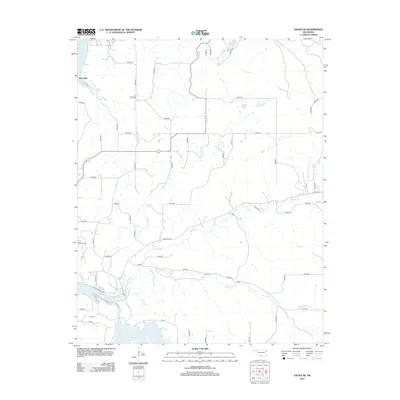 2012 Salina SE2012 Print · USGSThe rural stretches of Mayes County are mapped in detail during the early twenty-first century, showing the intersection of local history and major water works. Genealogists can locate Ross Mayes Cem or trace the drainage of Little Saline Cr near Hoot Owl.
 - 2012 Map of Peggs, 2012 Print
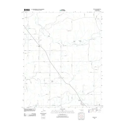 2012 Peggs2012 Print · USGSCherokee County, Oklahoma, is shown in the early twenty-first century as a landscape of rural homesteads and winding creek beds. Genealogists can locate Peggs Cem and Blue Springs Cem or trace the geography of family-named spots like Yokum Hollow and Luck Spring.
 - 2012 Map of Strang, 2012 Print
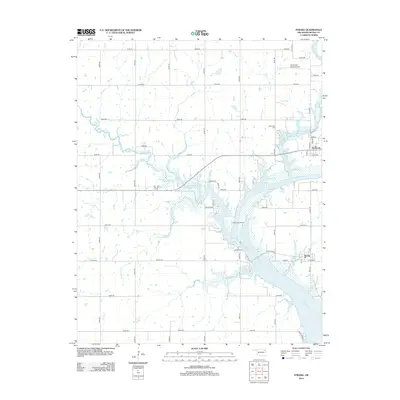 2012 Strang2012 Print · USGSThe riverfront communities of Strang and Pensacola are centered along the winding Neosho River in this modern survey of Mayes County. Researchers can locate local landmarks like Ghormley Cem and Stearmans Roost Airport amidst the rural landscape.
 - 2012 Map of White Oak, 2012 Print
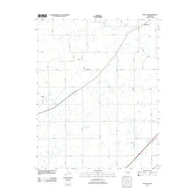 2012 White Oak2012 Print · USGSThe Oklahoma prairie near Vinita is captured here in the early twenty-first century, showing a landscape shaped by oil and water management. Researchers can locate family roots at Shawnee Cem or trace the legacy of the Catale Oil Field near Sunsweet.
Showing maps 1-25 of 80
Top cities of Mayes County
- Pryor Creek historical maps
- Chouteau historical maps
- Locust Grove historical maps
- Salina historical maps
- Adair historical maps
- Langley historical maps
See more
Frequently asked questions
- What are the different types of historical maps available for Mayes County?
- What is the oldest map of Mayes County?
- Where can I purchase historical maps of Mayes County for my home or office?
- Where can I download high-res historical maps of Mayes County?
- Are there historical topographic maps available for Mayes County?
- Is there historical aerial imagery available for Mayes County?
- Where are historical maps of Mayes County sourced from?