2000s (21st Century) Maps of Broken Bow, Oklahoma
Explore 25 historic maps of Broken Bow from the 2000s (21st Century). These maps offer a rare glimpse into what life looked like during the 2000s — showing old roads, neighborhoods, homes, and landmarks that have changed or disappeared over time.
Whether you're researching your family's past, planning a metal detecting trip, or studying how Broken Bow's landscape evolved across the 2000s, these high-resolution maps are a powerful tool for exploring the history of this region.
- Focus on a specific era: All maps on this page are from the 2000s, giving you a focused view of this time period.
- See what’s changed: Compare century-old streets, trails, and buildings to today's modern landscape using overlays and satellite layers.
- Research with precision: Use these maps for genealogy, historical research, land use analysis, or educational projects.
- View, download, or print: Maps are fully viewable online in high resolution, and can be downloaded or printed for your own records.
Start exploring Broken Bow's history through authentic maps from the 2000s. This is your window into the past.
Broken Bow, OK maps
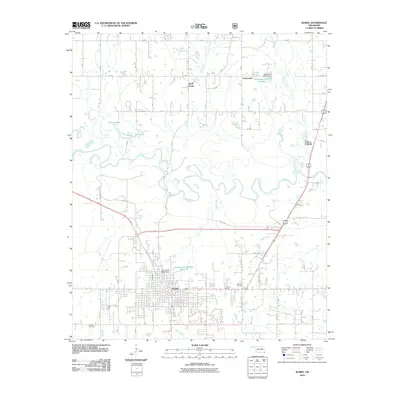
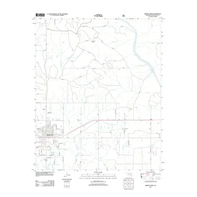
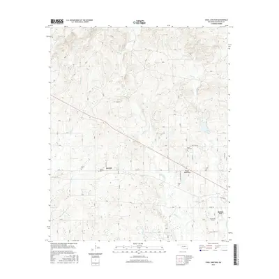
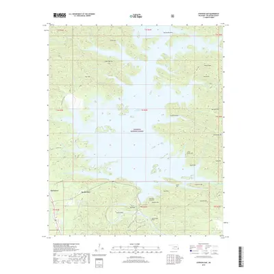
(25)- 2010 Map of Broken Bow, 2010 Print
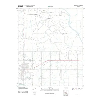 2010 Broken Bow2010 Print · USGSCovers Broken Bow, including Hochatown, Tiner, and other nearby areas
 - 2010 Map of Steel Junction, 2010 Print
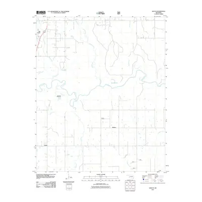
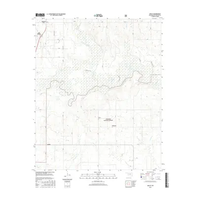
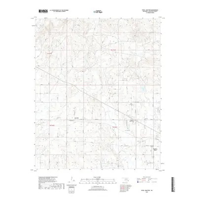
 2010 Steel Junction2010 Print · USGSCovers Broken Bow, including Steel Junction, Oak Hill, and other nearby areas
 - 2010 Map of Stephens Gap, 2010 Print
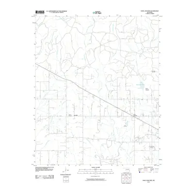
 2010 Stephens Gap2010 Print · USGSCovers Broken Bow, including Hochatown, Stephens Gap, and other nearby areas
 - 2010 Map of Shults, 2010 Print
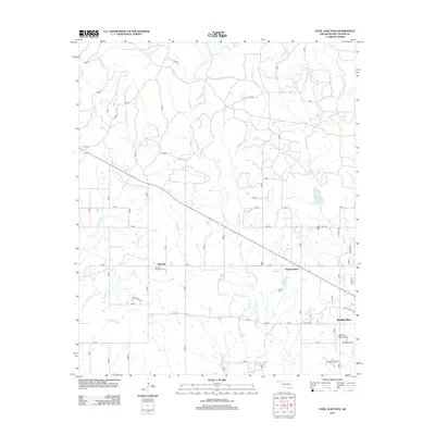
 2010 Shults2010 Print · USGSCovers Broken Bow, including Redland, Shults, and other nearby areas
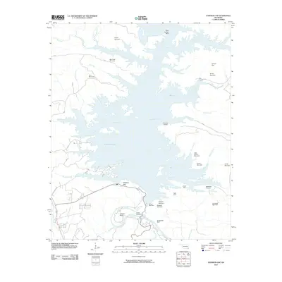
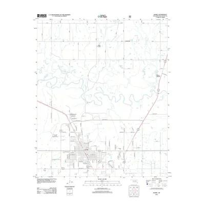
 - 2010 Map of Idabel, 2010 Print
 2010 Idabel2010 Print · USGSCovers Broken Bow, including Idabel, Crossroads, and other nearby areas
 - 2012 Map of Shults, 2012 Print
 2012 Shults2012 Print · USGSCovers Broken Bow, including Redland, Shults, and other nearby areas
 - 2012 Map of Steel Junction, 2012 Print
 2012 Steel Junction2012 Print · USGSCovers Broken Bow, including Steel Junction, Oak Hill, and other nearby areas
 - 2013 Map of Stephens Gap, 2013 Print
 2013 Stephens Gap2013 Print · USGSCovers Broken Bow, including Hochatown, Stephens Gap, and other nearby areas
 - 2013 Map of Broken Bow, 2013 Print
 2013 Broken Bow2013 Print · USGSCovers Broken Bow, including Hochatown, Tiner, and other nearby areas
 - 2013 Map of Idabel, 2013 Print
 2013 Idabel2013 Print · USGSCovers Broken Bow, including Idabel, Crossroads, and other nearby areas
 - 2016 Map of Shults, 2016 Print
 2016 Shults2016 Print · USGSCovers Broken Bow, including Redland, Shults, and other nearby areas
 - 2016 Map of Stephens Gap, 2016 Print
 2016 Stephens Gap2016 Print · USGSCovers Broken Bow, including Hochatown, Stephens Gap, and other nearby areas
 - 2016 Map of Steel Junction, 2016 Print
 2016 Steel Junction2016 Print · USGSCovers Broken Bow, including Steel Junction, Oak Hill, and other nearby areas
 - 2016 Map of Broken Bow, 2016 Print
 2016 Broken Bow2016 Print · USGSCovers Broken Bow, including Hochatown, Tiner, and other nearby areas
 - 2016 Map of Idabel, 2016 Print
 2016 Idabel2016 Print · USGSCovers Broken Bow, including Idabel, Crossroads, and other nearby areas
 - 2018 Map of Broken Bow, 2018 Print
 2018 Broken Bow2018 Print · USGSCovers Broken Bow, including Hochatown, Tiner, and other nearby areas
 - 2018 Map of Stephens Gap, 2018 Print
 2018 Stephens Gap2018 Print · USGSCovers Broken Bow, including Hochatown, Stephens Gap, and other nearby areas
 - 2018 Map of Steel Junction, 2018 Print
 2018 Steel Junction2018 Print · USGSCovers Broken Bow, including Steel Junction, Oak Hill, and other nearby areas
 - 2019 Map of Shults, 2019 Print
 2019 Shults2019 Print · USGSCovers Broken Bow, including Redland, Shults, and other nearby areas
 - 2019 Map of Idabel, 2019 Print
 2019 Idabel2019 Print · USGSCovers Broken Bow, including Idabel, Crossroads, and other nearby areas
 - 2022 Map of Shults, 2022 Print
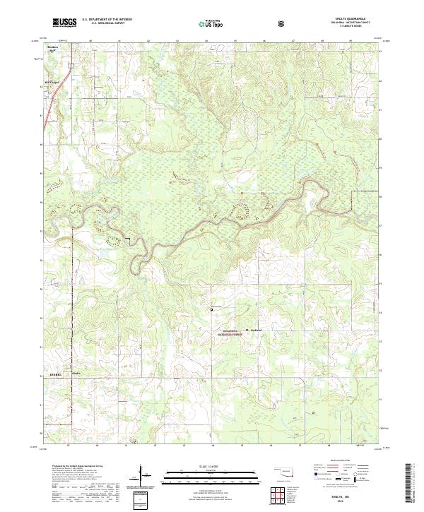 2022 Shults2022 Print · USGSMcCurtain County's river-bottom lands and timbered hills are shown in detail here just south of the Ouachita National Forest. Researchers can locate family landmarks such as Redland Cem and the Hill Chapel settlement, or trace the winding course of the Little River and Yanubbee Cr.
 - 2022 Map of Steel Junction, 2022 Print
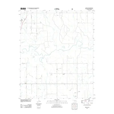
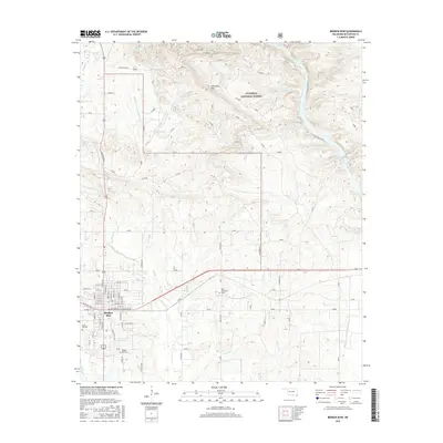
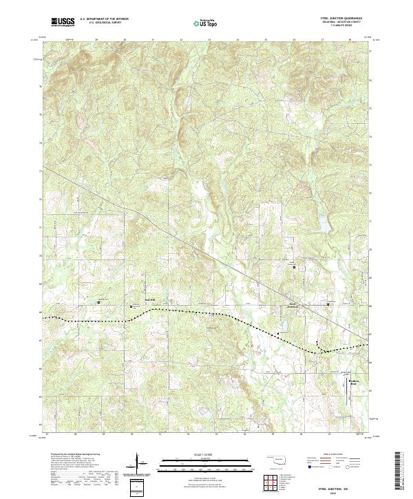 2022 Steel Junction2022 Print · USGSThe northern edge of Broken Bow and the rural community of Steel Junction are captured here in the early twenty-first century. Genealogists can trace several burial sites including Lukfata Cem and Yasho Cem near the banks of Lukfata Creek.
 - 2022 Map of Idabel, 2022 Print
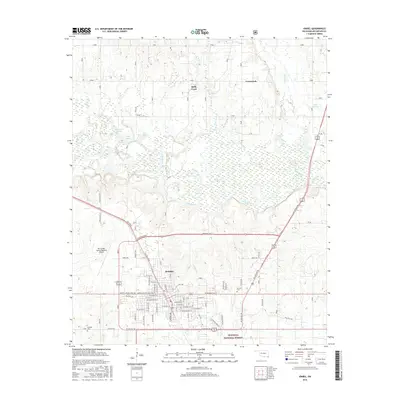
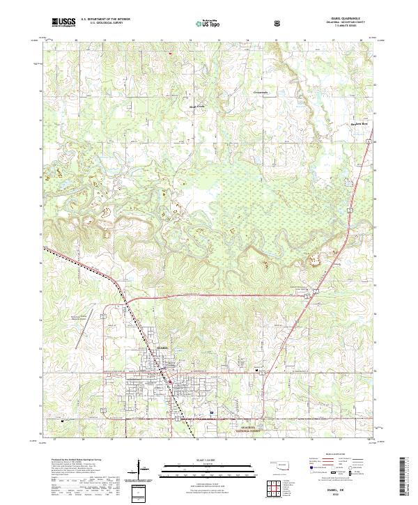 2022 Idabel2022 Print · USGSSoutheast Oklahoma comes into focus in the early 2020s, showcasing the intersection of civic development and natural preserves. Genealogists and local historians can trace landmarks from the McCurtain County Courthouse to the rural Denison Cem and Canfield Cem.
 - 2022 Map of Broken Bow, 2022 Print
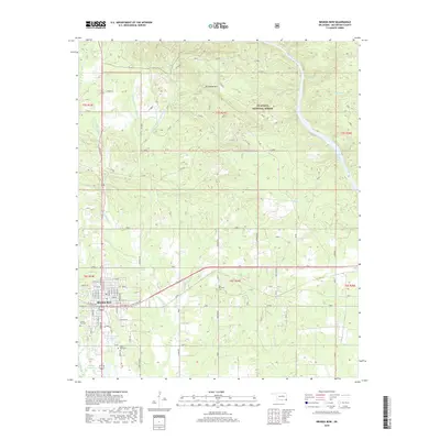
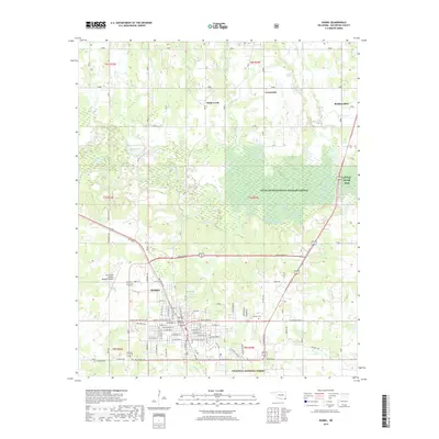
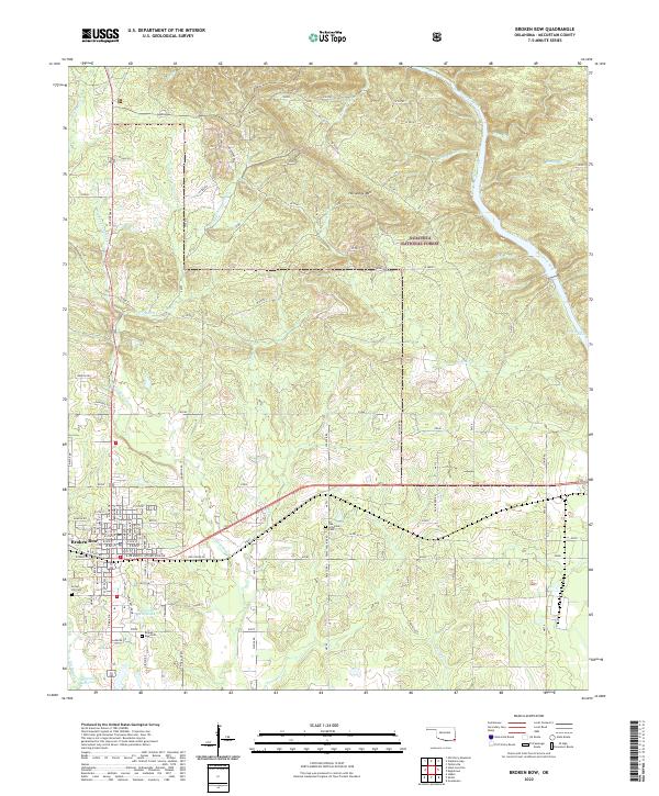 2022 Broken Bow2022 Print · USGSBroken Bow and the surrounding McCurtain County timberlands appear in high detail during the early 2020s. Genealogists and local historians can trace family locations near Crown Hill Cem, Oka Achukma Cem, and landmarks like Presbyterian Falls.
 - 2022 Map of Stephens Gap, 2022 Print
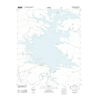
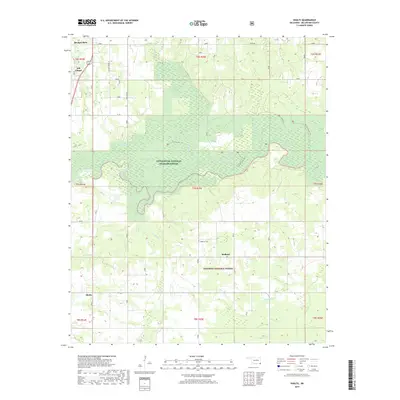
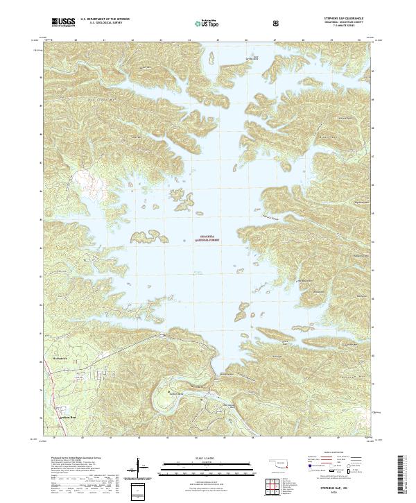 2022 Stephens Gap2022 Print · USGSMcCurtain County’s forested highlands and the sprawling waters of the Mountain Fork are captured here in the early twenty-first century. Genealogists and local historians can trace the topography of Hochatown, the winding path of Old Hochatown Rd, and the rugged ridges of Bee Creek Mtn.
End of results
Showing maps 1-25 of 25
Top cities near Broken Bow
Frequently asked questions
- What are the different types of historical maps available for Broken Bow?
- What is the oldest map of Broken Bow?
- Where can I purchase historical maps of Broken Bow for my home or office?
- Where can I download high-res historical maps of Broken Bow?
- Are there historical topographic maps available for Broken Bow?
- Is there historical aerial imagery available for Broken Bow?
- Where are historical maps of Broken Bow sourced from?