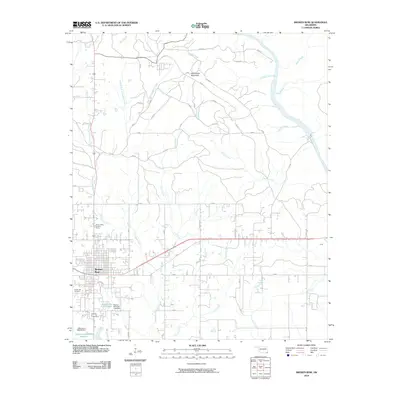
2010 Map of Broken Bow
USGS Topo · Published 2010About this map
Broken Bow serves as the focal point of this southeastern Oklahoma landscape, situated at the confluence of several key drainages. The town's layout is bordered to the west by the Crown Hill Cemetery and the rising elevation of the Broken Bow Lookout Tower. The hydrology of the region is defined by the Mountain Fork river and a network of creeks including Yanubbee Creek, Coon Creek, and Terrapin Creek. These waterways dictate the local topography and historical movement through McCurtain County.
Find a feature on this map
33 named features on this map. Tap any name to fly to it.
Don’t see what you’re looking for? This feature index may not catch every label — zoom into the map to look around manually.
Map Details
Editions of this 2010 Broken Bow Map
This is the sole edition of this map. No revisions or reprints were ever made.
Other maps of this area

1902 · Lukfata
USGS Topo · 1:125,000

1950 · Mcalester
USGS Topo · 1:250,000

1950 · Idabel
USGS Topo · 1:24,000

1950 · Shults
USGS Topo · 1:24,000

1950 · Goodwater
USGS Topo · 1:24,000

1951 · Idabel
USGS Topo · 1:24,000

1951 · Shults
USGS Topo · 1:24,000

1951 · Goodwater
USGS Topo · 1:24,000

1953 · Texarkana
USGS Topo · 1:250,000

1956 · Texarkana
USGS Topo · 1:250,000