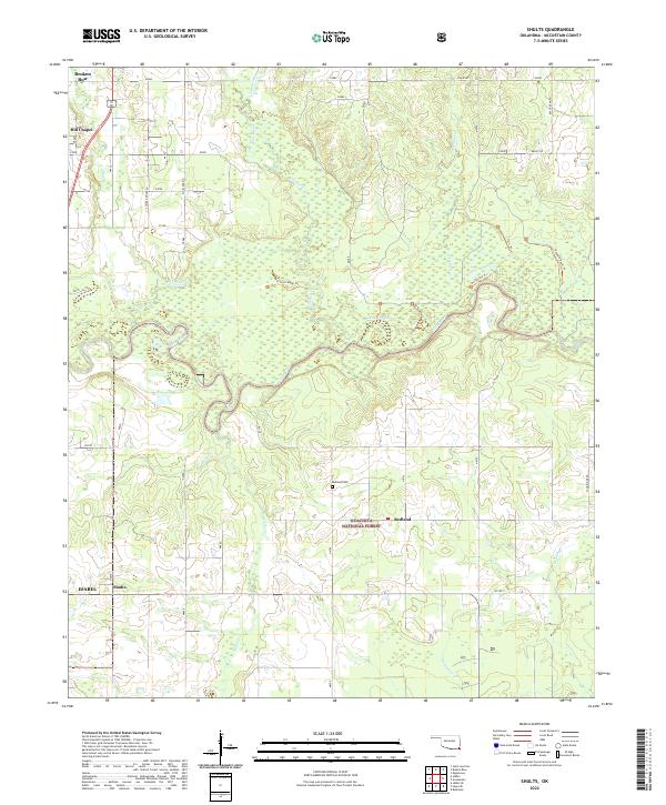
Old Maps of Shults, Oklahoma for Metal Detecting
Plan your next treasure hunt with 11 historic maps of Shults. Find old homesites, ghost towns, trails, and gathering spots that may be lost to time — perfect for identifying promising metal detecting locations.
- Locate forgotten sites: Uncover places like long-lost settlements, abandoned rail lines, or gathering spots.
- Plan better hunts: Use map overlays combined with LiDAR or satellite views to narrow in on historically rich areas.
- Made for detectorists: Thousands of hobbyists use these maps to discover relics, coins, and hidden history.
Use these historic maps to boost your research and find new opportunities beneath the surface of Shults.
Shults, OK maps
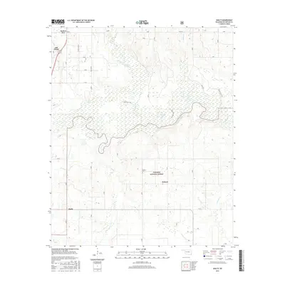
(11)- 1950 Map of Shults, 1975 Print
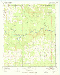 1950 Shults1975 Print · USGSMcCurtain County is documented in the mid-twentieth century as a landscape of river bends and rural settlements. Researchers can trace family history at the Redland Cem or locate community centers like Douglas Chapel and Shults.2 unique versions available
 - 1951 Map of Shults
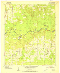 1951 Shults1951 Print · USGSMcCurtain County's riverbottoms and rural uplands are shown here just after the war, centered on the winding Little River. Genealogists and local historians can trace family locations near Shults, the Redland Cem, and old country landmarks like Welch Store.2 unique versions available
 - 1953 Map of Texarkana, 1964 Print
 1953 Texarkana1964 Print · USGSThe Texas-Arkansas borderlands are captured here in the mid-fifties, during a decade of massive military and hydraulic engineering projects. Genealogists and researchers can locate family landmarks like Old Boston Cem, Siloam Ch, and the vast Red River Arsenal.4 unique versions available
 - 1956 Map of Texarkana
 1956 Texarkana1956 Print · USGSThe Ark-La-Tex borderlands come alive in the mid-fifties, showing the transition from a rail-dependent rural economy to a post-war industrial landscape. Researchers can trace the massive Red River Ordnance Depot and find towns like Talco, Bogata, and Naples.
 - 1986 Map of Idabel
 1986 Idabel1986 Print · USGSThe tri-state borderlands of Oklahoma, Arkansas, and Texas come alive in the 1980s, centered on the Red River and the timberlands of the Ouachita National Forest. Genealogists and historians can trace the paths of the Missouri Pacific railroad through towns like Bokhoma and Ashdown.
 - 1990 Map of Idabel
 1990 Idabel1990 Print · USGSThe tri-state borderlands of Oklahoma, Arkansas, and Texas come alive in this late twentieth-century survey of the Red River valley. Researchers can trace the legacy of rail and river commerce through settlements like Bokhoma and Ashdown or find rural landmarks such as Hill Chapel.
 - 2010 Map of Shults, 2010 Print
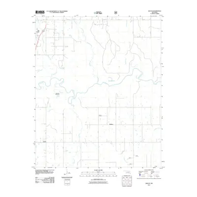 2010 Shults2010 Print · USGSCovers Shults, including Broken Bow, Redland, and other nearby areas
 - 2012 Map of Shults, 2012 Print
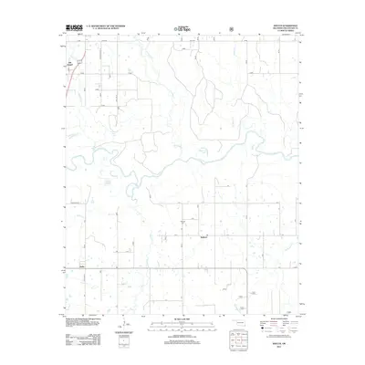 2012 Shults2012 Print · USGSCovers Shults, including Broken Bow, Redland, and other nearby areas
 - 2016 Map of Shults, 2016 Print
 2016 Shults2016 Print · USGSCovers Shults, including Broken Bow, Redland, and other nearby areas
 - 2019 Map of Shults, 2019 Print
 2019 Shults2019 Print · USGSCovers Shults, including Broken Bow, Redland, and other nearby areas
 - 2022 Map of Shults, 2022 Print
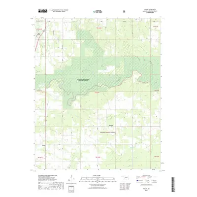
 2022 Shults2022 Print · USGSMcCurtain County's river-bottom lands and timbered hills are shown in detail here just south of the Ouachita National Forest. Researchers can locate family landmarks such as Redland Cem and the Hill Chapel settlement, or trace the winding course of the Little River and Yanubbee Cr.
End of results
Showing maps 1-11 of 11
Top cities near Shults
Frequently asked questions
- What are the different types of historical maps available for Shults?
- What is the oldest map of Shults?
- Where can I purchase historical maps of Shults for my home or office?
- Where can I download high-res historical maps of Shults?
- Are there historical topographic maps available for Shults?
- Is there historical aerial imagery available for Shults?
- Where are historical maps of Shults sourced from?