2010s Maps of Muskogee County, Oklahoma
Explore 96 historic maps of Muskogee County from the 2010s. These maps offer a rare glimpse into what life looked like during the 2010s — showing old roads, neighborhoods, homes, and landmarks that have changed or disappeared over time.
Whether you're researching your family's past, planning a metal detecting trip, or studying how Muskogee County's landscape evolved across the 2010s, these high-resolution maps are a powerful tool for exploring the history of this region.
- Focus on a specific era: All maps on this page are from the 2010s, giving you a focused view of this time period.
- See what’s changed: Compare century-old streets, trails, and buildings to today's modern landscape using overlays and satellite layers.
- Research with precision: Use these maps for genealogy, historical research, land use analysis, or educational projects.
- View, download, or print: Maps are fully viewable online in high resolution, and can be downloaded or printed for your own records.
Start exploring Muskogee County's history through authentic maps from the 2010s. This is your window into the past.
Muskogee County, OK maps
(96)- 2010 Map of Warner, 2010 Print
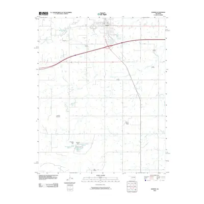 2010 Warner2010 Print · USGSWarner and the surrounding Oklahoma prairie are documented here during a period of steady rural development. Researchers can locate family landmarks such as Bennett Cemetery and Foreman Cemetery or trace the geography of Dunigan Mountain.
 - 2010 Map of Oktaha, 2010 Print
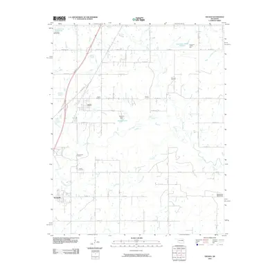 2010 Oktaha2010 Print · USGSThe community of Oktaha and the village of Rentiesville are documented here in the early twenty-first century. Genealogists can locate several burial sites, including Honey Springs Cemetery, Combs Cemetery, and Grayson Cemetery.
 - 2010 Map of Taft, 2010 Print
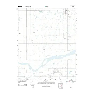 2010 Taft2010 Print · USGSWagoner County at the start of the twenty-first century is defined by its rural road network and the broad Arkansas River. Genealogists can trace family ties at Choska Cemetery or Blackjack Cemetery, while exploring the lowlands of Choska Bottom.
 - 2010 Map of Southeast Muskogee, 2010 Print
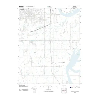 2010 Southeast Muskogee2010 Print · USGSMuskogee County in the early twenty-first century shows a landscape where city infrastructure meets the waters of the Arkansas River. Researchers can locate family landmarks like Frozen Rock Cemetery, trace the course of Coody Creek, or study the layout of Davis Field.
 - 2010 Map of Concharty Mountain, 2010 Print
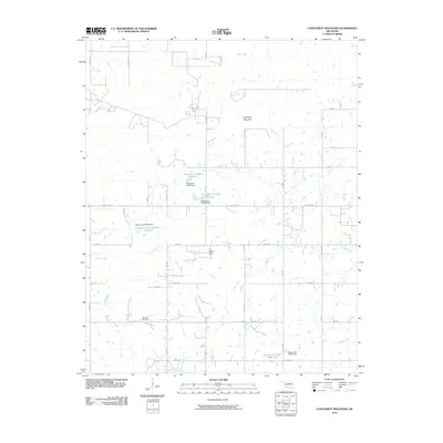 2010 Concharty Mountain2010 Print · USGSOklahoma's rural landscape south of Bixby is defined here by the elevations of Concharty Mountain and a web of prairie tributaries. Genealogists and historians can trace local landmarks like Bald Hill Cemetery and the many reservoirs along Rock Creek.
 - 2010 Map of Stigler West, 2010 Print
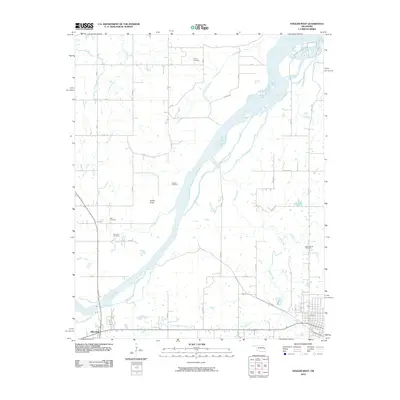 2010 Stigler West2010 Print · USGSHaskell County's river-bottom lands and rural homesteads are captured here at the start of the decade. Family historians can locate ancestral burial grounds like Briartown Cemetery and McClure Cemetery near the banks of the Canadian River.
 - 2010 Map of Holt Mountain, 2010 Print
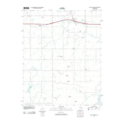 2010 Holt Mountain2010 Print · USGSMuskogee County terrain at the start of the 2010s reveals a landscape of high ridges and deep creek hollows. Genealogists can trace several remote family burial sites, including Popes Chapel and Toney Cemetery, while pilots and navigators can locate the Little River Ranch Airport.
 - 2010 Map of Braggs, 2010 Print
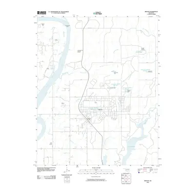 2010 Braggs2010 Print · USGSMuskogee County in the early 21st century is characterized by the expansive military grounds of Camp Gruber and the winding Arkansas River. Genealogists and historians can locate several family burial sites including Harnage Cemetery and Harris Cemetery near Braggs.
 - 2010 Map of Keefton, 2010 Print
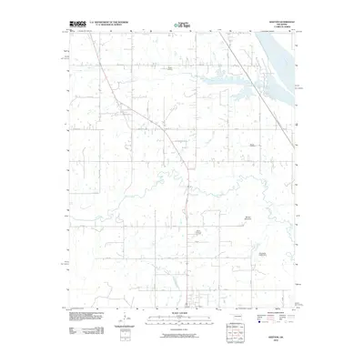 2010 Keefton2010 Print · USGSWarner and the surrounding Muskogee County countryside appear in great detail during the early twenty-first century. Researchers can locate family roots at Warner Memorial Cemetery or trace the drainage of Dirty Creek past Warner Mountain.
 - 2010 Map of Beland, 2010 Print
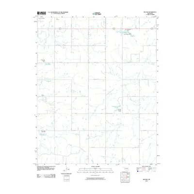 2010 Beland2010 Print · USGSMuskogee County's rural landscape is captured here in the early twenty-first century, showing a transition between traditional agriculture and modern water management. Researchers can locate family burial sites at Doyle Cemetery and Brown Cemetery or trace the drainage of Pecan Creek.
 - 2010 Map of Boynton, 2010 Print
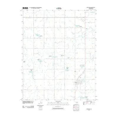 2010 Boynton2010 Print · USGSBoynton and the surrounding Muskogee County prairies are captured here in the early twenty-first century, showing a landscape defined by water management and rural tradition. Researchers can locate family sites near Boynton Cemetery, Lee Cemetery, and the shores of Boynton Lake.
 - 2010 Map of Gore, 2010 Print
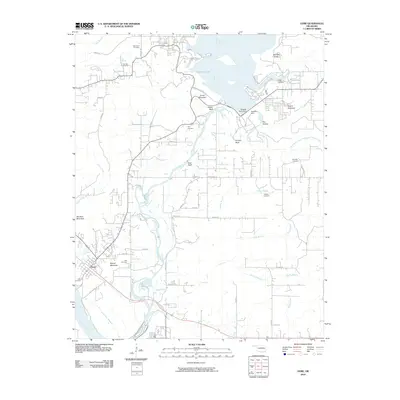 2010 Gore2010 Print · USGSGore and the surrounding Sequoyah County river country are shown here in the early twenty-first century as the landscape balances recreation and history. Researchers can locate numerous family burial sites like Tee Hee Cemetery and Wilson Cemetery or trace the impact of the Tenkiller Ferry Dam on the Illinois River.
 - 2010 Map of Haskell, 2010 Print
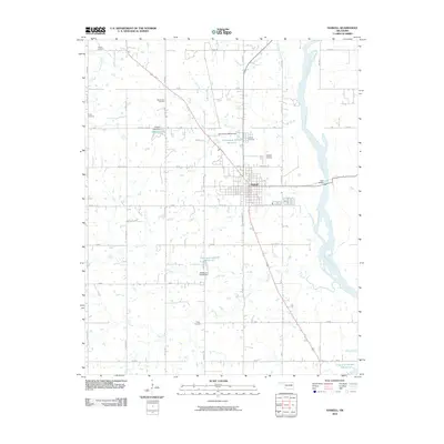 2010 Haskell2010 Print · USGSOklahoma's river valley landscape near the turn of the millennium shows the town of Haskell as a central hub for transport and community. Researchers can trace family history through many local burial grounds like Mount Zion Cemetery and Gibson Cemetery or locate landmarks like Gary Bridge over the Arkansas River.
 - 2010 Map of Webbers Falls, 2010 Print
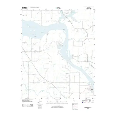 2010 Webbers Falls2010 Print · USGSThe riverfront town of Webbers Falls is shown here in the early twenty-first century, where the Arkansas River shapes the local economy and geography. Genealogists can locate several family burial sites like Plunkett Cemetery and Sam Cemetery near the banks of Greenleaf Creek.
 - 2010 Map of Northeast Muskogee, 2010 Print
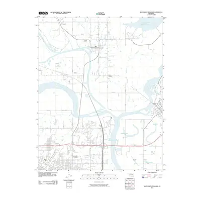 2010 Northeast Muskogee2010 Print · USGSMuskogee and its surrounding river valleys are captured here in the early twenty-first century, showing the meeting of the Arkansas, Neosho, and Verdigris Rivers. Genealogists and local historians can trace burial sites like Marshall Cemetery and New Hope Cemetery or locate the landmark Fort Gibson Stockade.
 - 2010 Map of Northwest Muskogee, 2010 Print
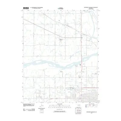 2010 Northwest Muskogee2010 Print · USGSMuskogee County in the early twenty-first century reveals a landscape where major river confluences meet growing residential hillsides. Researchers can trace family history through sites like the Booker T Washington Cemetery and Tullahassee, or explore the geography near Fern Mountain.
 - 2010 Map of Okmulgee NE, 2010 Print
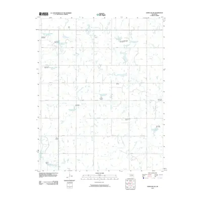 2010 Okmulgee NE2010 Print · USGSOkmulgee County at the start of the 2010s shows a landscape of agricultural roads and modern water management. Genealogists and local historians can locate Antioch Cemetery and family landmarks near Twin Hills or Morris Lake.
 - 2010 Map of Stigler NE, 2010 Print
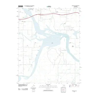 2010 Stigler NE2010 Print · USGSEastern Oklahoma's river valleys are captured here in the early twenty-first century as the major river systems converge. Genealogists and local historians can trace over a dozen burial sites including Hanks Cemetery, Wilkerson Cemetery, and Girty Cemetery.
 - 2010 Map of Southwest Muskogee, 2010 Print
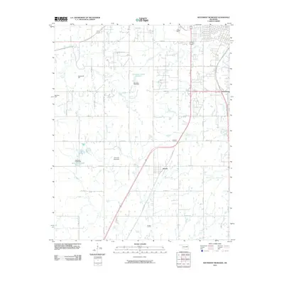 2010 Southwest Muskogee2010 Print · USGSMuskogee County at the start of the decade reveals a landscape where the rural community of Summit sits amidst an intricate network of creeks. Genealogists and local historians can trace family land near Plainview Cemetery, Minnegan Cemetery, and the heights of Chimney Mountain.
 - 2010 Map of Stigler East, 2010 Print
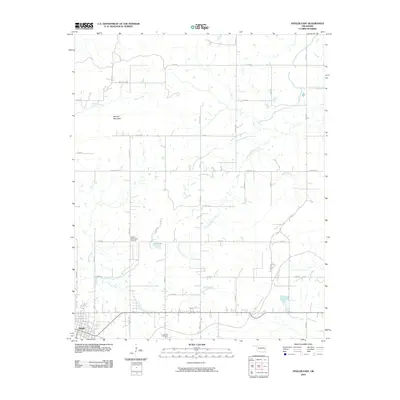 2010 Stigler East2010 Print · USGSHaskell County at the turn of the decade shows the expansion of Stigler into a landscape defined by rural crossroads and creek bottoms. Genealogists and researchers can locate Antioch Cemetery or trace the reach of Little Sans Bois Creek and Morgan Mountain.
 - 2010 Map of Fort Gibson Dam, 2010 Print
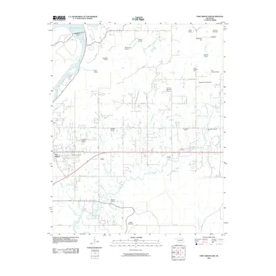 2010 Fort Gibson Dam2010 Print · USGSFort Gibson and the Neosho River valley appear in high detail during the early twenty-first century. Genealogists and historians can locate numerous burial sites, including the Fort Gibson National Cemetery, Walker Cemetery, and Starnes Cemetery.
 - 2010 Map of Porum, 2010 Print
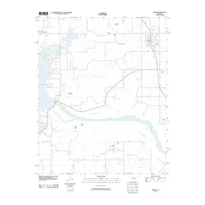 2010 Porum2010 Print · USGSOklahoma's high ridges and river valleys are captured here in the early twenty-first century as they meet the eastern shores of a massive reservoir. Trace family history at Hi Early Cemetery or explore the landscape around Porum and Hoyt.
 - 2010 Map of Council Hill, 2010 Print
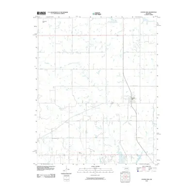 2010 Council Hill2010 Print · USGSCouncil Hill and the surrounding Oklahoma prairie are captured here at the start of the decade. Genealogists and local historians can trace family locations near the Council Hill Cemetery, Ridley Cemetery, and the northern banks of Lake Eufaula.
 - 2010 Map of Wainwright, 2010 Print
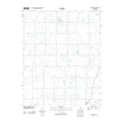 2010 Wainwright2010 Print · USGSThe rural landscape around Wainwright is captured here in the early twenty-first century, showcasing a region defined by agricultural grids and creek drainage. Researchers can locate the Middleton Cemetery and trace local waterways like Anderson Creek and Elk Creek.
 - 2012 Map of Taft, 2012 Print
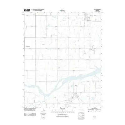 2012 Taft2012 Print · USGSWagoner County at the turn of the decade is captured here as the Arkansas River basin shifts from agriculture to modern rural life. Genealogists can trace family roots through several local landmarks like Blackjack Cem, Choska Cem, and the community of Taft.
Showing maps 1-25 of 96
Top cities of Muskogee County
- Muskogee historical maps
- Haskell historical maps
- Warner historical maps
- Porum historical maps
- Webbers Falls historical maps
- Taft historical maps
See more
Frequently asked questions
- What are the different types of historical maps available for Muskogee County?
- What is the oldest map of Muskogee County?
- Where can I purchase historical maps of Muskogee County for my home or office?
- Where can I download high-res historical maps of Muskogee County?
- Are there historical topographic maps available for Muskogee County?
- Is there historical aerial imagery available for Muskogee County?
- Where are historical maps of Muskogee County sourced from?