2000s (21st Century) Maps of Grayson, Oklahoma
Explore 20 historic maps of Grayson from the 2000s (21st Century). These maps offer a rare glimpse into what life looked like during the 2000s — showing old roads, neighborhoods, homes, and landmarks that have changed or disappeared over time.
Whether you're researching your family's past, planning a metal detecting trip, or studying how Grayson's landscape evolved across the 2000s, these high-resolution maps are a powerful tool for exploring the history of this region.
- Focus on a specific era: All maps on this page are from the 2000s, giving you a focused view of this time period.
- See what’s changed: Compare century-old streets, trails, and buildings to today's modern landscape using overlays and satellite layers.
- Research with precision: Use these maps for genealogy, historical research, land use analysis, or educational projects.
- View, download, or print: Maps are fully viewable online in high resolution, and can be downloaded or printed for your own records.
Start exploring Grayson's history through authentic maps from the 2000s. This is your window into the past.
Grayson, OK maps
(20)- 2010 Map of Okmulgee South, 2010 Print
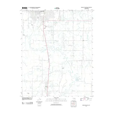 2010 Okmulgee South2010 Print · USGSOkmulgee and the surrounding Oklahoma bottomlands are captured here at the start of the 2010s. Genealogists can trace family histories at Oakwood Cemetery or Little Cussetah Cemetery, while exploring the landscape around Schulter and Elephant Knob.
 - 2010 Map of Morris, 2010 Print
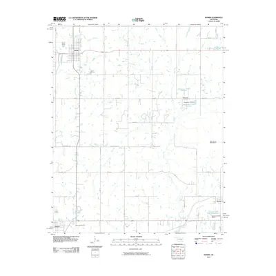 2010 Morris2010 Print · USGSOkmulgee County is captured here in the early twenty-first century, showing the established town of Morris and the rural community of Grayson. Genealogists and local historians can locate family sites at Morris Cemetery or trace the paths of Grave Creek and Moore Creek.
 - 2010 Map of Hoffman, 2010 Print
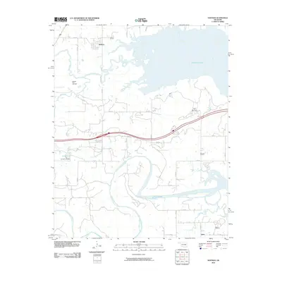 2010 Hoffman2010 Print · USGSEastern Oklahoma at the turn of the millennium shows a landscape defined by the expansive Eufaula Lake and the North Canadian River. Researchers can trace rural lineages through local landmarks like Hoffman Cemetery, Burney, and the heights of Tiger Mountain.
 - 2010 Map of Henryetta, 2010 Print
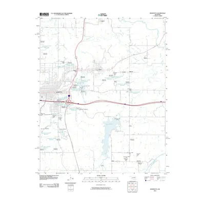 2010 Henryetta2010 Print · USGSHenryetta and its surrounding coal-country settlements are captured here in the early twenty-first century as the region’s industrial landscape evolved. Genealogists and historians can locate Salem Cemetery, the town of Dewar, and landmarks like Bald Knob.
 - 2012 Map of Morris, 2012 Print
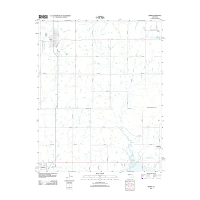 2012 Morris2012 Print · USGSOkmulgee County's prairie and creek systems are documented here in the early 2010s, centered on the community of Morris. Genealogists can trace several significant burial grounds including Indian Cem and Sacred Heart Cem near Grayson.
 - 2012 Map of Hoffman, 2012 Print
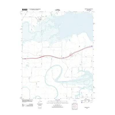 2012 Hoffman2012 Print · USGSThe western waters of Eufaula Lake and the winding N Canadian River define this rural Okmulgee County landscape in the early twenty-first century. Researchers can locate family landmarks like Hoffman Cem, Thompson Cem, and the settlement of Lenna.
 - 2012 Map of Henryetta, 2012 Print
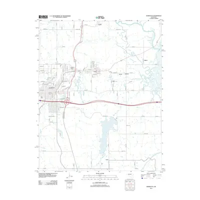 2012 Henryetta2012 Print · USGSThis Okmulgee County landscape in the early 2010s shows the enduring layout of its historical mining and industrial towns. Local historians can trace the proximity of settlements like Dewar and Kusa, or locate rural landmarks such as Bald Knob and Senora Cem.
 - 2012 Map of Okmulgee South, 2012 Print
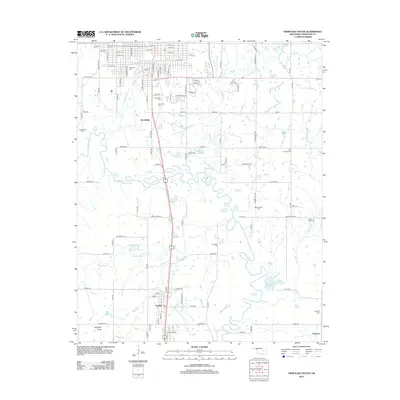 2012 Okmulgee South2012 Print · USGSThe southern outskirts of Okmulgee and the winding Deep Fork river bottomlands are captured here in the early twenty-first century. Genealogists and local researchers can trace numerous legacy landmarks, from the streets of Schulter to historical burial sites like Oakwood Cem and Grayson Cem.
 - 2016 Map of Morris, 2016 Print
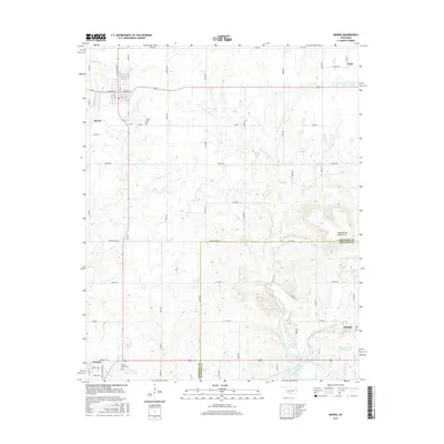 2016 Morris2016 Print · USGSOklahoma's Okmulgee County is captured here in the mid-2010s, showing the settled grid of Morris and the rural surroundings before the shift toward further modernization. Researchers can trace family history at the Sacred Heart Cemetery or locate the historic communities of Grayson and Hitchita.
 - 2016 Map of Okmulgee South, 2016 Print
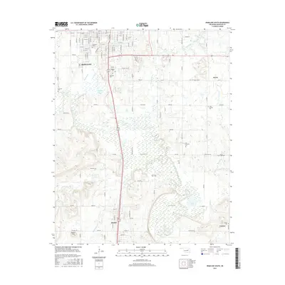 2016 Okmulgee South2016 Print · USGSOkmulgee County during the mid-2010s reveals a landscape of river bottomlands and historic rural settlements. Genealogists can locate numerous burial sites including Woodlawn Cem and Grayson Cem, while tracing the course of the Montezuma Trail and the Deep Fork river.
 - 2016 Map of Henryetta, 2016 Print
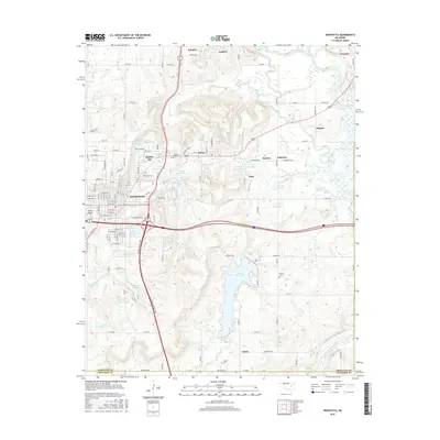 2016 Henryetta2016 Print · USGSHenryetta and its surrounding industrial satellites appear here in the mid-2010s, showing a landscape shaped by transit and resource management. Genealogists and local historians can trace family sites near Sonora Cem, explore the old layouts of Spelter City, or locate landmarks like Bald Knob.
 - 2016 Map of Hoffman, 2016 Print
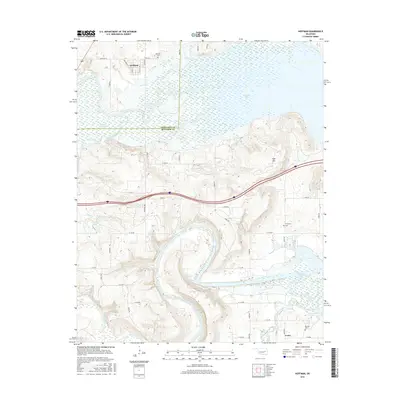 2016 Hoffman2016 Print · USGSOkmulgee and McIntosh Counties are shown here during the mid-2010s as the North Canadian River winds toward Eufaula Lake. Local historians can trace family plots at Hoffman Cem or explore the rural street layout of Hoffman and Lenna.
 - 2018 Map of Hoffman, 2018 Print
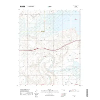 2018 Hoffman2018 Print · USGSThe Okmulgee and McIntosh county line runs through this landscape where the North Canadian River meets the reaching arms of Eufaula Lake. Researchers can trace the rural layout of Hoffman and Grayson or locate family sites like the Thompson Cem and Morrison Cem.
 - 2018 Map of Henryetta, 2018 Print
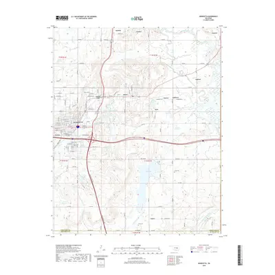 2018 Henryetta2018 Print · USGSHenryetta and the surrounding Okmulgee County settlements are mapped in detail during the late 2010s. Local researchers can trace family landmarks and historical footprints in Dewar, Kusa, and Spelter City, or locate ancestral sites at Sonora Cem and Salem Cem.
 - 2018 Map of Morris, 2018 Print
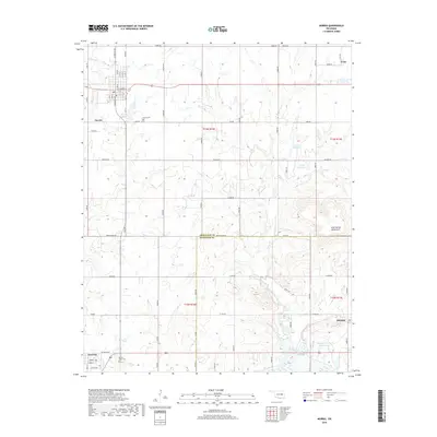 2018 Morris2018 Print · USGSThe Okmulgee County plains and the High Spring Mountains meet in this 2018 survey of eastern Oklahoma. Local historians can trace the developments around Morris and Grayson, locating family landmarks like Sacred Heart Cem and Morris Cem.
 - 2019 Map of Okmulgee South, 2019 Print
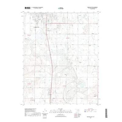 2019 Okmulgee South2019 Print · USGSThe southern outskirts of Okmulgee and the surrounding rural townships are captured in this recent survey. Genealogists can locate several historic burial grounds, such as Woodlawn and Pawhuska, or trace the rail-and-road connections between Schulter and Grayson.
 - 2022 Map of Morris, 2022 Print
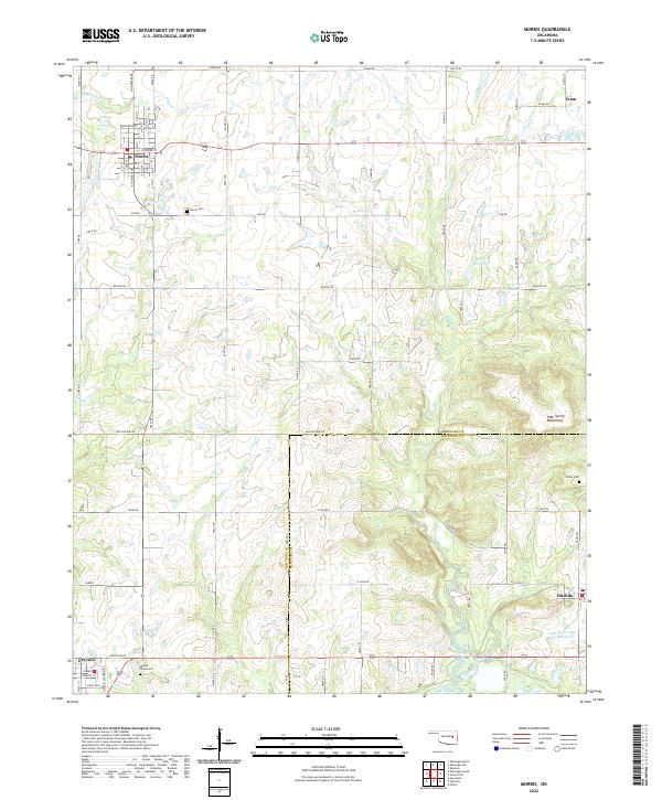 2022 Morris2022 Print · USGSOklahoma's Okmulgee and McIntosh counties are captured here in recent years, showing the area's rural character and established small-town grids. Researchers can locate family roots and historical sites at Morris Cemetery, Indian Cem, and the community of Grayson.
 - 2022 Map of Okmulgee South, 2022 Print
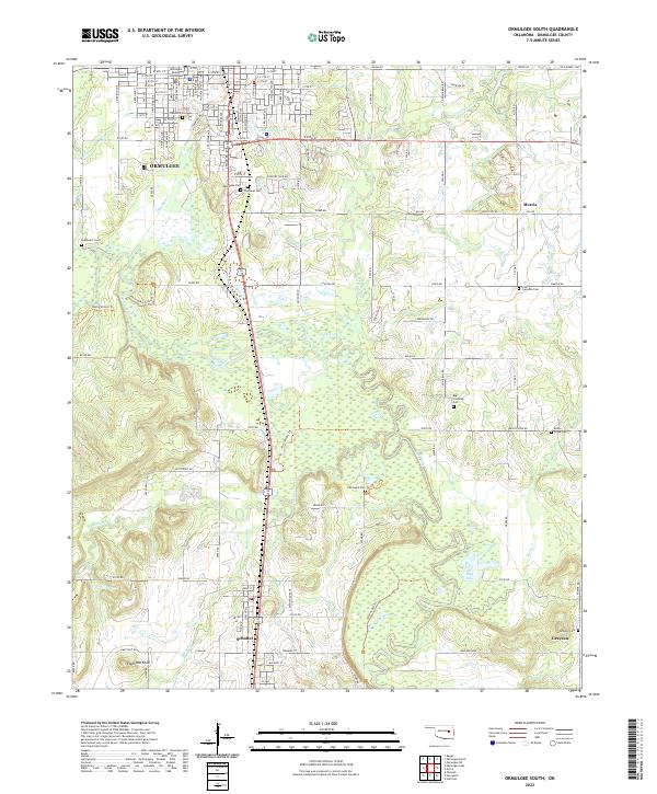 2022 Okmulgee South2022 Print · USGSThe Okmulgee County landscape at the start of the 2020s shows a unique concentration of community burial sites and bottomland topography. Genealogists can trace family connections at Pawhuska Cem, Little Cussetah Cem, and the prominent Elephant Knob landmark.
 - 2022 Map of Henryetta, 2022 Print
 2022 Henryetta2022 Print · USGSHenryetta and its surrounding Oklahoma coal-country settlements are shown here in the early twenty-first century. Researchers can trace local lineages through Sonora Cemetery and explore the complex water systems of Lake Henryetta and Nichols Lake.
 - 2022 Map of Hoffman, 2022 Print
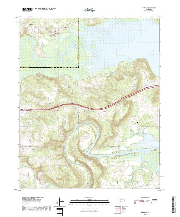 2022 Hoffman2022 Print · USGSThe river valleys and wetlands of the Okmulgee and McIntosh county border are captured here in recent detail. Genealogists and local historians can trace the family landmarks and rural settlements near Hoffman, including Grayson, Thompson Cem, and Tiger Mtn.
End of results
Showing maps 1-20 of 20
Top cities near Grayson
- Okmulgee historical maps
- Henryetta historical maps
- Beggs historical maps
- Morris historical maps
- Dewar historical maps
- Schulter historical maps
See more
Frequently asked questions
- What are the different types of historical maps available for Grayson?
- What is the oldest map of Grayson?
- Where can I purchase historical maps of Grayson for my home or office?
- Where can I download high-res historical maps of Grayson?
- Are there historical topographic maps available for Grayson?
- Is there historical aerial imagery available for Grayson?
- Where are historical maps of Grayson sourced from?