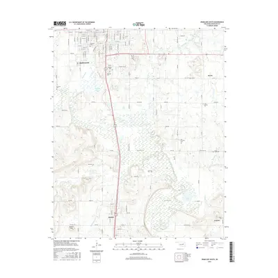
2016 Map of Okmulgee South
USGS Topo · Published 2016About this map
The Deep Fork river corridor and its extensive wetlands dominate this landscape south of Okmulgee. The area is defined by a heavy concentration of burial grounds, including Oakwood Cem, Woodlawn Cem, and Okmulgee Cem near the city, as well as several rural sites such as Little Cussetah Cem and Big Cussetah Cem. These locations reflect the deep-rooted community history of Okmulgee County. To the south, the settlement of Schulter sits along the highway, while Grayson and Morris occupy the eastern reaches. The terrain transitions from the water-heavy bottomlands around Thousand Acre Lake and Flag Lake to localized high points like Elephant Knob and Rocky Shoals. Long-established pathways like the Montezuma Trail cut across the central wetlands, following the path of Montezuma Cr toward the river.
Find a feature on this map
67 named features on this map. Tap any name to fly to it.
Don’t see what you’re looking for? This feature index may not catch every label — zoom into the map to look around manually.
Map Details
Editions of this 2016 Okmulgee South Map
This is the sole edition of this map. No revisions or reprints were ever made.
Other maps of this area

1896 · Okmulgee
USGS Topo · 1:125,000

1900 · Canadian
USGS Topo · 1:125,000

1900 · Wewoka
USGS Topo · 1:125,000

1900 · Okmulgee
USGS Topo · 1:125,000

1901 · Nuyaka
USGS Topo · 1:125,000

1946 · Fort Smith
USGS Topo · 1:250,000

1954 · Oklahoma City
USGS Topo · 1:250,000

1957 · Oklahoma City
USGS Topo · 1:250,000

1962 · Henryetta
USGS Topo · 1:24,000

1962 · Hoffman
USGS Topo · 1:24,000