Old Maps of Grayson, Oklahoma for Hiking & Exploration
Hike through history with 33 historic maps of Grayson. Explore old trails, ghost towns, and forgotten backroads — perfect for outdoor adventurers and local explorers.
- Rediscover forgotten places: Map out old mining camps, roads, and footpaths that no longer exist on modern maps.
- Layer with modern tools: Combine with LiDAR or satellite views to plan hikes through historical terrain.
- Made for exploration: Popular among hikers, overlanders, and local history lovers.
Use these maps to find adventure and explore the hidden past of Grayson.
Grayson, OK maps
(33)- 1896 Map of Okmulgee, 1954 Print
 1896 Okmulgee1954 Print · USGSThe Creek Nation of the Indian Territory is captured here in the late nineteenth century, just before the turn of the century. Genealogists and researchers can trace early mission sites like Wealaka Mission and established frontier settlements including Council Hill and Wellington.
 - 1900 Map of Canadian
 1900 Canadian1900 Print · USGSIndian Territory at the turn of the century shows a landscape of tribal nations and developing rail towns along the CANADIAN RIVER. Genealogists and historians can trace early settlements like Fishertown and Indianola or the original Creek Nation Choctaw Nation Boundary Line.6 unique versions available
 - 1900 Map of Okmulgee
 1900 Okmulgee1900 Print · USGSThe Indian Territory of the Creek Nation is captured here during the late 1890s, just before statehood changed the region forever. Researchers can trace the early foundations of Okmulgee or locate vanished sites like Wealaka Mission and Wellington (Lee P.O.).6 unique versions available
 - 1946 Map of Fort Smith
 1946 Fort Smith1946 Print · USGSThe Arkansas-Oklahoma borderlands appear here in the mid-forties, as new reservoirs began to transform the river valleys. Genealogists and historians can trace rail-served towns from Muskogee to Fort Smith and locate landmarks like Camp Chaffee.
 - 1962 Map of Henryetta, 1963 Print
 1962 Henryetta1963 Print · USGSHenryetta and its surrounding rail junctions are captured here in the early sixties as the landscape prepared for the creation of Eufaula Reservoir. Researchers can trace historic industrial sites like the Smelter and small communities such as Spelter City, Dewar, and Kusa.4 unique versions available
 - 1962 Map of Hoffman, 1964 Print
 1962 Hoffman1964 Print · USGSThe Okmulgee and McIntosh county line is captured here in the early sixties as the reservoir began to transform the river valley. Genealogists can trace family landmarks like Morrison Cemetery, Tiger Mountain School, and the settlement of Lenna.2 unique versions available
 - 1965 Map of Fort Smith
 1965 Fort Smith1965 Print · USGSEastern Oklahoma and Western Arkansas are captured here during a period of massive post-war change as new reservoirs reshaped the river valleys. Genealogists and historians can trace the rail networks of the Midland Valley RR and find established communities like Stilwell, Sallisaw, and Stigler.
 - 1967 Map of Fort Smith
 1967 Fort Smith1967 Print · USGSThe Arkansas River valley and the foothills of the Ozarks are captured here during a period of significant military and industrial activity. Researchers can trace the sprawling bounds of Camp Chaffee and Camp Gruber or locate vanished rail stops along the Midland Valley RR.
 - 1970 Map of Morris, 1972 Print
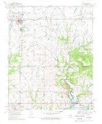 1970 Morris1972 Print · USGSEastern Oklahoma at the start of the 1970s reveals a landscape shaped by petroleum and rail. Genealogists and historians can trace family locations near Morris and Grayson, or locate historic sites like Indian Cem and the Grave Creek Ch.
 - 1971 Map of Okmulgee South, 1972 Print
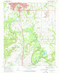 1971 Okmulgee South1972 Print · USGSOklahoma's Okmulgee County is captured here in the early seventies, showing a landscape defined by the Deep Fork bottomlands and active oil fields. Genealogists can trace the rural communities around Schulter, noting landmarks like Big Cussetah Ch and Pawhuska Cem.
 - 1978 Map of Eufaula, 1979 Print
 1978 Eufaula1979 Print · USGSEastern Oklahoma in the late seventies is defined by the sprawling waters of Eufaula Lake and the dense timber of the Sans Bois Mountains. Genealogists and historians can trace the development of towns like Checotah and Stigler or locate legacy sites like the Old R R Grade and Robbers Cave State Park.
 - 1978 Map of Muskogee, 1979 Print
 1978 Muskogee1979 Print · USGSThe confluence of the Arkansas, Verdigris, and Neosho Rivers defines the Muskogee region in the late seventies. Genealogists and historians can trace the footprints of Camp Gruber (Abandoned), the campus of Bacone College, and early aviation at Hatbox Field.
 - 1978 Map of Fort Smith, 1979 Print
 1978 Fort Smith1979 Print · USGSThe Arkansas-Oklahoma borderlands in the late seventies show a landscape shaped by massive river reservoirs and sprawling military reservations. Trace the historic rail lines of the Missouri Pacific RR and locate regional landmarks like Fort Gibson, Tenkiller Ferry Lake, and Barling.2 unique versions available
 - 2010 Map of Okmulgee South, 2010 Print
 2010 Okmulgee South2010 Print · USGSOkmulgee and the surrounding Oklahoma bottomlands are captured here at the start of the 2010s. Genealogists can trace family histories at Oakwood Cemetery or Little Cussetah Cemetery, while exploring the landscape around Schulter and Elephant Knob.
 - 2010 Map of Morris, 2010 Print
 2010 Morris2010 Print · USGSOkmulgee County is captured here in the early twenty-first century, showing the established town of Morris and the rural community of Grayson. Genealogists and local historians can locate family sites at Morris Cemetery or trace the paths of Grave Creek and Moore Creek.
 - 2010 Map of Hoffman, 2010 Print
 2010 Hoffman2010 Print · USGSEastern Oklahoma at the turn of the millennium shows a landscape defined by the expansive Eufaula Lake and the North Canadian River. Researchers can trace rural lineages through local landmarks like Hoffman Cemetery, Burney, and the heights of Tiger Mountain.
 - 2010 Map of Henryetta, 2010 Print
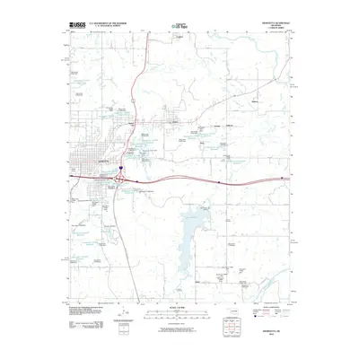 2010 Henryetta2010 Print · USGSHenryetta and its surrounding coal-country settlements are captured here in the early twenty-first century as the region’s industrial landscape evolved. Genealogists and historians can locate Salem Cemetery, the town of Dewar, and landmarks like Bald Knob.
 - 2012 Map of Morris, 2012 Print
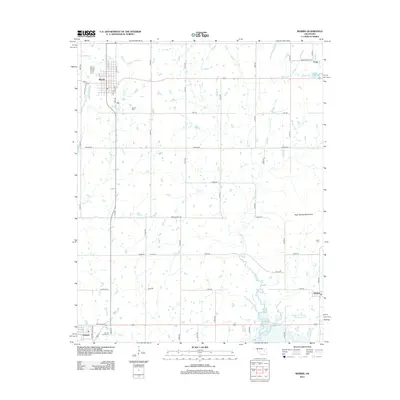 2012 Morris2012 Print · USGSOkmulgee County's prairie and creek systems are documented here in the early 2010s, centered on the community of Morris. Genealogists can trace several significant burial grounds including Indian Cem and Sacred Heart Cem near Grayson.
 - 2012 Map of Hoffman, 2012 Print
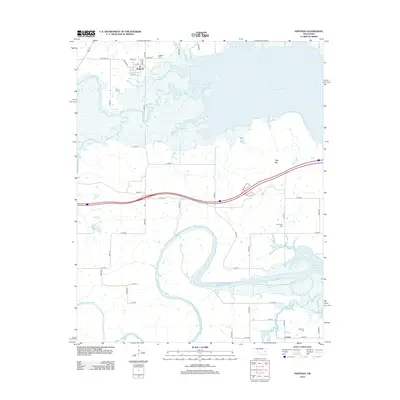 2012 Hoffman2012 Print · USGSThe western waters of Eufaula Lake and the winding N Canadian River define this rural Okmulgee County landscape in the early twenty-first century. Researchers can locate family landmarks like Hoffman Cem, Thompson Cem, and the settlement of Lenna.
 - 2012 Map of Henryetta, 2012 Print
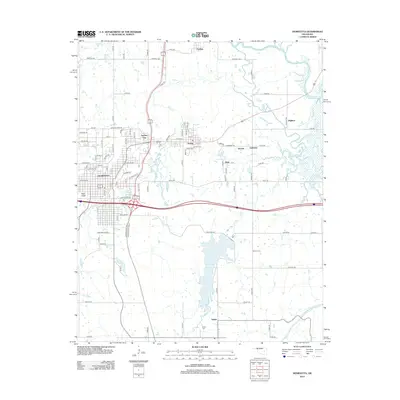 2012 Henryetta2012 Print · USGSThis Okmulgee County landscape in the early 2010s shows the enduring layout of its historical mining and industrial towns. Local historians can trace the proximity of settlements like Dewar and Kusa, or locate rural landmarks such as Bald Knob and Senora Cem.
 - 2012 Map of Okmulgee South, 2012 Print
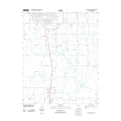 2012 Okmulgee South2012 Print · USGSThe southern outskirts of Okmulgee and the winding Deep Fork river bottomlands are captured here in the early twenty-first century. Genealogists and local researchers can trace numerous legacy landmarks, from the streets of Schulter to historical burial sites like Oakwood Cem and Grayson Cem.
 - 2016 Map of Morris, 2016 Print
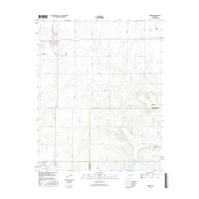 2016 Morris2016 Print · USGSOklahoma's Okmulgee County is captured here in the mid-2010s, showing the settled grid of Morris and the rural surroundings before the shift toward further modernization. Researchers can trace family history at the Sacred Heart Cemetery or locate the historic communities of Grayson and Hitchita.
 - 2016 Map of Okmulgee South, 2016 Print
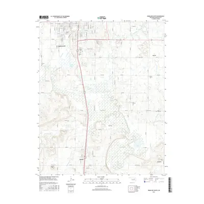 2016 Okmulgee South2016 Print · USGSOkmulgee County during the mid-2010s reveals a landscape of river bottomlands and historic rural settlements. Genealogists can locate numerous burial sites including Woodlawn Cem and Grayson Cem, while tracing the course of the Montezuma Trail and the Deep Fork river.
 - 2016 Map of Henryetta, 2016 Print
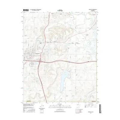 2016 Henryetta2016 Print · USGSHenryetta and its surrounding industrial satellites appear here in the mid-2010s, showing a landscape shaped by transit and resource management. Genealogists and local historians can trace family sites near Sonora Cem, explore the old layouts of Spelter City, or locate landmarks like Bald Knob.
 - 2016 Map of Hoffman, 2016 Print
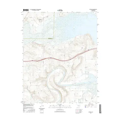 2016 Hoffman2016 Print · USGSOkmulgee and McIntosh Counties are shown here during the mid-2010s as the North Canadian River winds toward Eufaula Lake. Local historians can trace family plots at Hoffman Cem or explore the rural street layout of Hoffman and Lenna.
Showing maps 1-25 of 33
Top cities near Grayson
- Okmulgee historical maps
- Henryetta historical maps
- Beggs historical maps
- Morris historical maps
- Dewar historical maps
- Schulter historical maps
See more
Frequently asked questions
- What are the different types of historical maps available for Grayson?
- What is the oldest map of Grayson?
- Where can I purchase historical maps of Grayson for my home or office?
- Where can I download high-res historical maps of Grayson?
- Are there historical topographic maps available for Grayson?
- Is there historical aerial imagery available for Grayson?
- Where are historical maps of Grayson sourced from?