Old Maps of Stillwater, Oklahoma for Genealogy
Trace your family roots with 22 historic maps of Stillwater. These high-res maps reveal old neighborhoods, homesites, landmarks, and streets — helping you uncover where your ancestors lived and how the area evolved over time.
- Explore historic neighborhoods: Identify where your relatives may have lived in the 1800s or 1900s.
- Compare maps over time: Trace the changes in streets, buildings, and landmarks for multi-generational research.
- Perfect for genealogy & ancestry research: Used by family historians and researchers to map out lineage and migration.
These maps are an incredible resource for exploring your personal connection to Stillwater's past.
Stillwater, OK maps
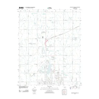
(22)- 1893 Map of Stillwater
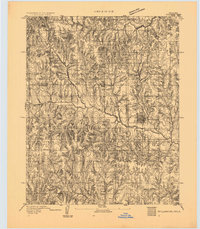 1893 Stillwater1893 Print · USGSOklahoma Territory was still in its formative years when this survey of the Stillwater area was completed. Genealogists and historians can trace the early township grid and locate pioneer settlements like Marena, Brinton, and the springs at Elm Spring.
 - 1955 Map of Enid, 1966 Print
 1955 Enid1966 Print · USGSNorth-central Oklahoma's transition from open plains to the blackjack hills of the Osage Indian Reservation is captured in the mid-1950s. Researchers can trace the development of the Naval Reserve Oil Field, the grounds of Vance AFB, and the early footprints of Tulsa and Stillwater.4 unique versions available
 - 1958 Map of Enid
 1958 Enid1958 Print · USGSNorthern Oklahoma is mapped here in the late fifties, showcasing a dense network of petroleum production and historic tribal lands. Researchers can trace the legacy of the Osage Indian Reservation, early energy hubs like the Cushing Oil Field, and the Chilocco Indian Agricultural School.2 unique versions available
 - 1967 Map of Stillwater North, 1968 Print
 1967 Stillwater North1968 Print · USGSStillwater and its northern reaches are captured in the late sixties as the university and city began significant expansion. Researchers can trace the development of Oklahoma State University and the grounds of Boomer Lake Park or the settlement at Yost.3 unique versions available
 - 1967 Map of Stillwater South, 1968 Print
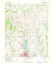
 1967 Stillwater South1968 Print · USGSStillwater was expanding southward in the late 1960s as university growth and the oil industry shaped the local economy. Researchers can trace rural lineages through sites like Elm Grove Cem, United Brethren Ch, and the Lost Creek Oil Field.2 unique versions available
 - 1967 Map of Stillwater SW, 1968 Print
 1967 Stillwater SW1968 Print · USGSSouthwest of Stillwater in the late sixties, the landscape reflects a busy intersection of petroleum production and rural life. Genealogists and historians can trace old homesteads and church sites like Paradise Ch and burial grounds including Marena Cem and Mt Vernon Cem.3 unique versions available
 - 1990 Map of Enid
 1990 Enid1990 Print · USGSNorth-central Oklahoma's aviation and energy hubs are captured in the 1990s, from the streets of Stillwater to the runways of Vance Air Force Base. Researchers can locate active Oil and Gas Fields and trace local waterways like Skeleton Creek and Black Bear Creek.
 - 2009 Map of Stillwater North, 2009 Print
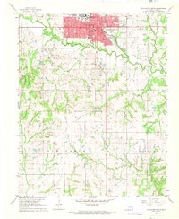
 2009 Stillwater North2009 Print · USGSCovers Stillwater, including Yost, Payne County, and other nearby areas
 - 2010 Map of Stillwater SW, 2010 Print
 2010 Stillwater SW2010 Print · USGSCovers Stillwater, including Marena, Payne County, and other nearby areas
 - 2010 Map of Stillwater South, 2010 Print
 2010 Stillwater South2010 Print · USGSCovers Stillwater, including Payne County, United States, and other nearby areas
 - 2012 Map of Stillwater North, 2012 Print
 2012 Stillwater North2012 Print · USGSCovers Stillwater, including Yost, Payne County, and other nearby areas
 - 2013 Map of Stillwater SW, 2013 Print
 2013 Stillwater SW2013 Print · USGSCovers Stillwater, including Marena, Payne County, and other nearby areas
 - 2013 Map of Stillwater South, 2013 Print
 2013 Stillwater South2013 Print · USGSCovers Stillwater, including Payne County, United States, and other nearby areas
 - 2016 Map of Stillwater South, 2016 Print
 2016 Stillwater South2016 Print · USGSCovers Stillwater, including Payne County, United States, and other nearby areas
 - 2016 Map of Stillwater SW, 2016 Print
 2016 Stillwater SW2016 Print · USGSCovers Stillwater, including Marena, Payne County, and other nearby areas
 - 2016 Map of Stillwater North, 2016 Print
 2016 Stillwater North2016 Print · USGSCovers Stillwater, including Yost, Payne County, and other nearby areas
 - 2018 Map of Stillwater North, 2018 Print
 2018 Stillwater North2018 Print · USGSCovers Stillwater, including Yost, Payne County, and other nearby areas
 - 2018 Map of Stillwater South, 2018 Print
 2018 Stillwater South2018 Print · USGSCovers Stillwater, including Payne County, United States, and other nearby areas
 - 2018 Map of Stillwater SW, 2018 Print
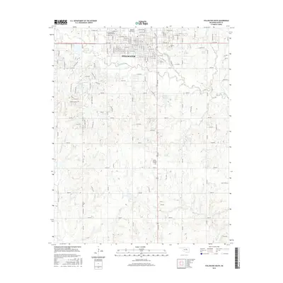
 2018 Stillwater SW2018 Print · USGSCovers Stillwater, including Marena, Payne County, and other nearby areas
 - 2022 Map of Stillwater South, 2022 Print
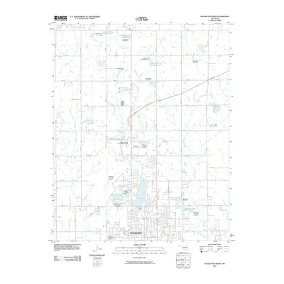
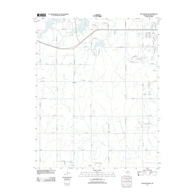
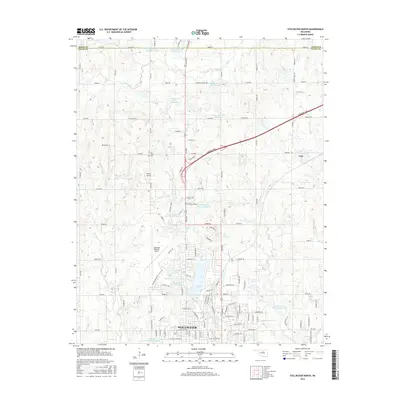
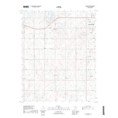
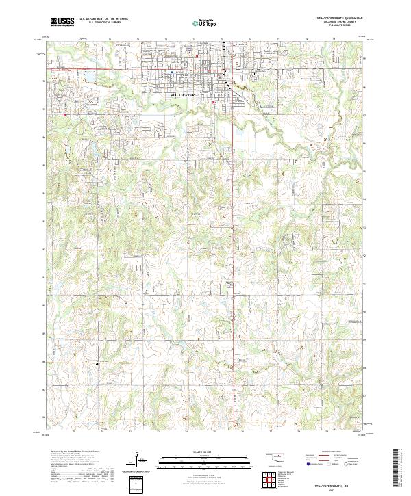 2022 Stillwater South2022 Print · USGSStillwater and its southern rural reaches are captured here in the early twenty-first century as the city grows around the university. Genealogists and historians can locate burials at Fairlawn Cem and Elm Grove Cem or trace the geography of Pickles Gap.
 - 2022 Map of Stillwater North, 2022 Print
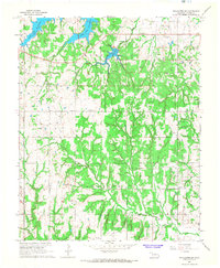
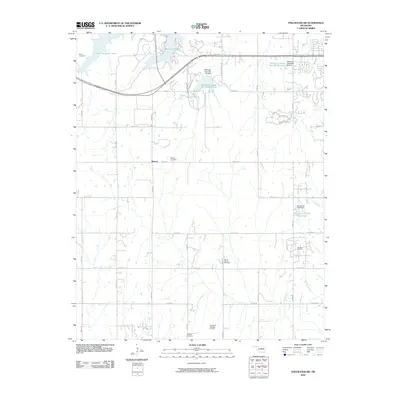
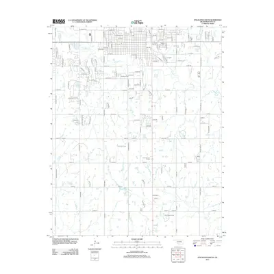
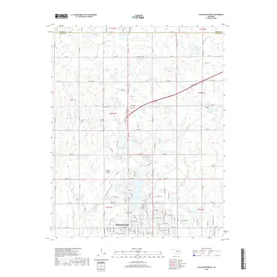
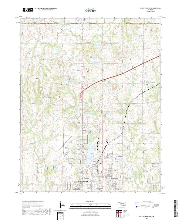 2022 Stillwater North2022 Print · USGSThe northern reaches of Stillwater and the surrounding Oklahoma plains are documented here in the early 2020s. Researchers can trace family sites near Old Moore Cem, explore the growth of Stillwater, and locate rural landmarks like Yost and Roka Ridge.
 - 2022 Map of Stillwater SW, 2022 Print
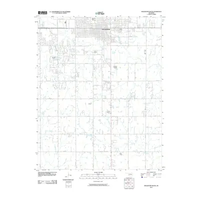
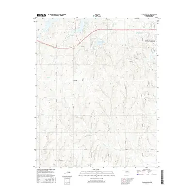
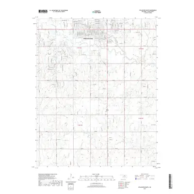
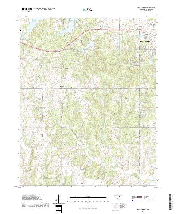 2022 Stillwater SW2022 Print · USGSThe outskirts of Stillwater and the rural reaches of Payne County are captured here during a period of modern growth. Genealogists and local historians can trace the locations of Marena Cem, Mount Vernon Cem, and the community of Marena.
End of results
Showing maps 1-22 of 22
Top cities near Stillwater
- Perry historical maps
- Perkins historical maps
- Langston historical maps
- Morrison historical maps
- Glencoe historical maps
- Ripley historical maps
See more
Top neighborhoods of Stillwater
- Berrys historical maps
- Millers historical maps
- Original Townsite historical maps
- Villages historical maps
- College Addition historical maps
- Wedgewood Addition historical maps
See more
Frequently asked questions
- What are the different types of historical maps available for Stillwater?
- What is the oldest map of Stillwater?
- Where can I purchase historical maps of Stillwater for my home or office?
- Where can I download high-res historical maps of Stillwater?
- Are there historical topographic maps available for Stillwater?
- Is there historical aerial imagery available for Stillwater?
- Where are historical maps of Stillwater sourced from?