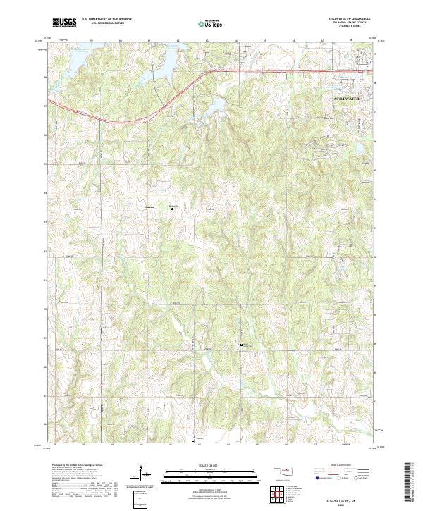
2022 Map of Stillwater SW
USGS Topo · Published 2022About this map
The southwest outskirts of Stillwater and the rural lands of Payne County are documented in this recent topographical study. The landscape is defined by the headwaters and drainages of Harrington Creek, Hunt Cr, and Wild Horse Cr, which flow through a network of sections established by the Public Land Survey System. Human settlement is centered on the community of Marena and the expanding residential corridors west of the city, including developments along W 6th Ave and W 19th Ave.
Find a feature on this map
61 named features on this map. Tap any name to fly to it.
Don’t see what you’re looking for? This feature index may not catch every label — zoom into the map to look around manually.
Map Details
Editions of this 2022 Stillwater SW Map
This is the sole edition of this map. No revisions or reprints were ever made.
Other maps of this area

1892 · Guthrie
USGS Topo · 1:62,500

1893 · Mulhall
USGS Topo · 1:62,500

1893 · Stillwater
USGS Topo · 1:62,500

1909 · Perkins
USGS Topo · 1:62,500

1954 · Oklahoma City
USGS Topo · 1:250,000

1955 · Enid
USGS Topo · 1:250,000

1957 · Oklahoma City
USGS Topo · 1:250,000

1958 · Enid
USGS Topo · 1:250,000

1963 · Oklahoma City
USGS Topo · 1:250,000

1966 · Lake Carl Blackwell
USGS Topo · 1:24,000