Old Maps of Haileyville, Oklahoma for Academic Research
Study the evolution of Haileyville with 13 high-resolution historic maps. Whether you're teaching, researching, or modeling changes in land use, these maps provide essential visual documentation of urban, environmental, and geographic change.
- Analyze long-term change: Track patterns in development, transportation, and natural features.
- Ideal for environmental or urban studies: Support academic projects with primary historical map data.
- Use in the classroom or lab: Educators and researchers rely on these maps to bring historical context to life.
These maps are a powerful tool for teaching, research, and visualizing how Haileyville has changed over the decades.
Haileyville, OK maps
(13)- 1898 Map of McAlester
 1898 McAlester1898 Print · USGSThe Choctaw Nation in the late 1890s was a landscape defined by emerging coal towns and critical rail junctions. Researchers can trace early settlements and industrial sites like South Mc Alester, Hartshorne, and Mine No. 5 along the Choctaw Oklahoma and Gulf R. R.4 unique versions available
 - 1909 Map of Mc Alester
 1909 Mc Alester1909 Print · USGSSoutheast Oklahoma's coal mining belt and the rugged Choctaw Nation territory are captured here in the early years of statehood. Researchers can trace the rail-side growth of McAlester and Hartshorne or locate vanished sites like Barnett Sta Haywood PO and Perryville.3 unique versions available
 - 1950 Map of Mcalester
 1950 Mcalester1950 Print · USGSThe Ouachita Mountains and the coal country of Southeast Oklahoma are shown here in the late 1940s. Genealogists and historians can trace the rail-driven growth of McAlester, Wilburton, and Antlers alongside the rugged terrain of Kiamichi Mountain.2 unique versions available
 - 1962 Map of McAlester
 1962 McAlester1962 Print · USGSSoutheastern Oklahoma and western Arkansas are shown here during the early sixties, a time of transition for the region's mountain communities and timberlands. Researchers can trace the paths of the Kansas City Southern RR through Heavener or locate settlements like Talihina and Broken Bow near the Kiamichi Mountains.2 unique versions available
 - 1965 Map of McAlester
 1965 McAlester1965 Print · USGSSoutheastern Oklahoma and western Arkansas appear here in the mid-1960s, showing the intersection of the timber industry and the growing reservoir system. Genealogists can trace family roots through settlements like Antlers, Idabel, and Kiowa or follow the historic routes of the Kansas City Southern Ry.3 unique versions available
 - 1967 Map of Hartshorne, 1968 Print
 1967 Hartshorne1968 Print · USGSSoutheast Oklahoma’s coal and rail corridor comes into focus in the late 1960s, showing the neighboring hubs of Hartshorne and Haileyville. Genealogists and local historians can trace the Chicago Rock Island and Pacific Railroad alongside sites like Elmwood Cemetery and Lone Oak Sch.2 unique versions available
 - 1977 Map of Hartshorne
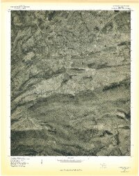 1977 Hartshorne1977 Print · USGSHartshorne and the surrounding Pittsburg County foothills are captured in this late-seventies aerial survey. Researchers can trace the street layouts of Hartshorne and Centerville or locate landmarks like Belle Starr Mountain and Hartshorne Lake.
 - 1991 Map of Mc Alester
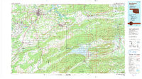 1991 Mc Alester1991 Print · USGSSoutheastern Oklahoma’s coal and rail corridor is captured here during the early nineties, centered on the regional hub of McAlester. Local historians can trace the development of towns along the Missouri-Kansas-Texas RR and find landmarks like Sardis Lake and the State Penitentiary.
 - 2010 Map of Hartshorne, 2010 Print
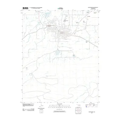 2010 Hartshorne2010 Print · USGSThe adjacent towns of Hartshorne and Haileyville are documented here during the early twenty-first century, showing the grid-plan development of these historic Oklahoma communities. Genealogists and local historians can locate several burial grounds including Holy Rosary Cemetery and Sulphur Cemetery, or trace the rugged geography of Belle Starr Mountain.
 - 2012 Map of Hartshorne, 2012 Print
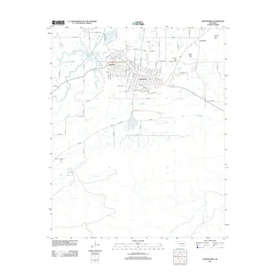 2012 Hartshorne2012 Print · USGSThe twin coal-country communities of Hartshorne and Haileyville are shown at a modern turning point in the early 2000s. Genealogists can locate several local burial sites such as Holy Rosary Cem and Sulphur Cem, or trace the rugged topography of Belle Starr Mtn.
 - 2016 Map of Hartshorne, 2016 Print
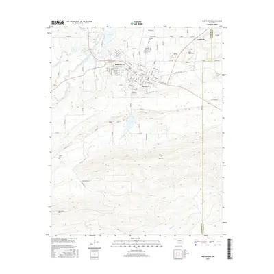 2016 Hartshorne2016 Print · USGSHartshorne and Haileyville are shown in detail during the twenty-first century, revealing a landscape shaped by coal history and high ridges. Genealogists can locate family sites at Elmwood Cem or Sulphur Cem, and trace landmarks like Belle Starr Mtn.
 - 2018 Map of Hartshorne, 2018 Print
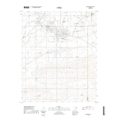 2018 Hartshorne2018 Print · USGSSoutheast Oklahoma's coal and timber country is shown here in the late twenty-teens, centered on the twin towns of Hartshorne and Haileyville. Researchers can trace local burial sites like Holy Rosary Cem and find family landmarks like Belle Starr Mtn or Dow Lake.
 - 2022 Map of Hartshorne, 2022 Print
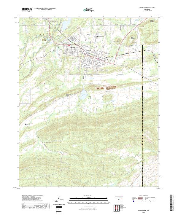 2022 Hartshorne2022 Print · USGSHartshorne and Haileyville sit at the base of the Limestone Ridge in the early 2020s, showing a landscape defined by industrial history and mountain terrain. Genealogists can trace family records at Elm Park Cem or Holy Rosary Cem and locate homes near Belle Starr Mtn.
End of results
Showing maps 1-13 of 13
Top cities near Haileyville
Frequently asked questions
- What are the different types of historical maps available for Haileyville?
- What is the oldest map of Haileyville?
- Where can I purchase historical maps of Haileyville for my home or office?
- Where can I download high-res historical maps of Haileyville?
- Are there historical topographic maps available for Haileyville?
- Is there historical aerial imagery available for Haileyville?
- Where are historical maps of Haileyville sourced from?