2010s Maps of Roger Mills County, Oklahoma
Explore 128 historic maps of Roger Mills County from the 2010s. These maps offer a rare glimpse into what life looked like during the 2010s — showing old roads, neighborhoods, homes, and landmarks that have changed or disappeared over time.
Whether you're researching your family's past, planning a metal detecting trip, or studying how Roger Mills County's landscape evolved across the 2010s, these high-resolution maps are a powerful tool for exploring the history of this region.
- Focus on a specific era: All maps on this page are from the 2010s, giving you a focused view of this time period.
- See what’s changed: Compare century-old streets, trails, and buildings to today's modern landscape using overlays and satellite layers.
- Research with precision: Use these maps for genealogy, historical research, land use analysis, or educational projects.
- View, download, or print: Maps are fully viewable online in high resolution, and can be downloaded or printed for your own records.
Start exploring Roger Mills County's history through authentic maps from the 2010s. This is your window into the past.
Roger Mills County, OK maps
(128)- 2010 Map of Sweetwater, 2010 Print
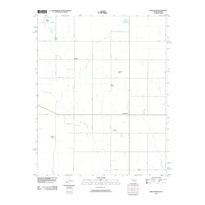 2010 Sweetwater2010 Print · USGSOklahoma's western borderlands are captured here during a period of active energy development and rural continuity. Researchers can trace family roots at Mulberry Cemetery and Salem Cemetery or locate the extensive operations of the Sweetwater Gas Field.
 - 2010 Map of Flying Creek, 2010 Print
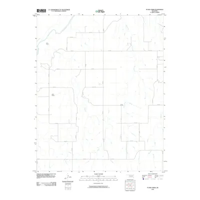 2010 Flying Creek2010 Print · USGSDewey County at the start of the 2010s is characterized by its wide rural stretches and essential river drainage systems. Genealogists and local historians can locate the Center Chapel Cemetery and Shirley Cemetery, or trace the path of the Canadian River.
 - 2010 Map of Big Kiowa Creek, 2010 Print
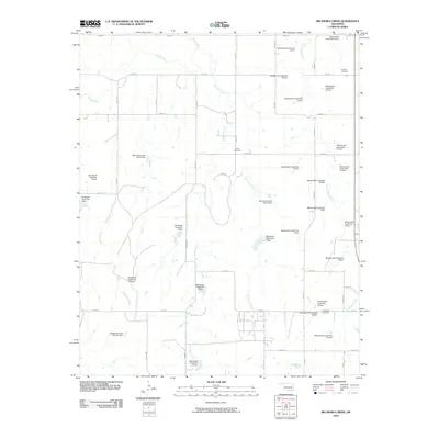 2010 Big Kiowa Creek2010 Print · USGSRoger Mills County in the early twenty-first century is a landscape defined by prairie water management and quiet rural history. Researchers can trace ancestral sites at Red Hill Cemetery or explore the many flood-control works like Whiteshield Creek Site 18 Dam and Big Kiowa Creek Site 6 Dam.
 - 2010 Map of Hammon, 2010 Print
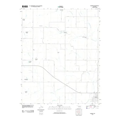 2010 Hammon2010 Print · USGSHammon and the Washita River valley are captured in the early 2000s, showing a landscape defined by water management and rural grid roads. Genealogists and local historians can locate Barker Cemetery and trace the many conservation structures like Hughes Dam and Quartermaster Site 18 Dam.
 - 2010 Map of Grimes, 2010 Print
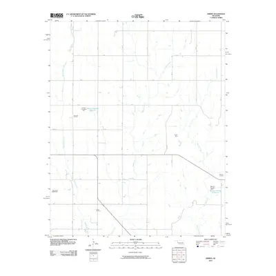 2010 Grimes2010 Print · USGSWestern Oklahoma's rural character and agricultural water systems are well-preserved in this study of Roger Mills County from the early twenty-first century. Family historians can locate specific sites like Brookside Cemetery and Wayland Cemetery or trace Middle Buffalo Creek.
 - 2010 Map of Arnett SE, 2010 Print
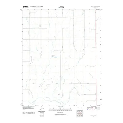 2010 Arnett SE2010 Print · USGSEllis County at the turn of the millennium shows a landscape defined by the winding Canadian River and a rigid grid of rural section roads. Genealogists and local historians can locate Grand Cemetery or trace the drainage of Red Bluff Creek and Mosquito Creek.
 - 2010 Map of Vici SW, 2010 Print
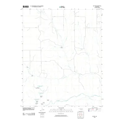 2010 Vici SW2010 Print · USGSDewey County’s canyons and creek beds are documented here in the early 21st century as they drain toward the southern river valley. Trace the local water infrastructure at Hutchison Number 5 Reservoir or navigate the terrain through Spring Canyon and Mulberry Canyon.
 - 2010 Map of Roll NW, 2010 Print
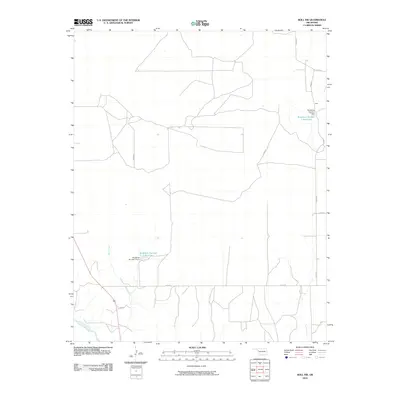 2010 Roll NW2010 Print · USGSEllis County's rural landscape at the start of the 21st century reveals a network of agricultural water management and prairie homesteads. Researchers can trace the community of Peek or locate family-named landmarks like Bradshaw Number 1 Reservoir and West Creek.
 - 2010 Map of Leedey SW, 2010 Print
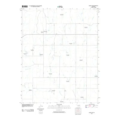 2010 Leedey SW2010 Print · USGSWestern Oklahoma ranchlands and rural sections come alive in this 2010 survey of the area near Angora. Researchers can trace the drainage of Quartermaster Creek through an extensive network of dams, find the Dewey Cemetery, or navigate the grid of E0840 RD.
 - 2010 Map of Roll NE, 2010 Print
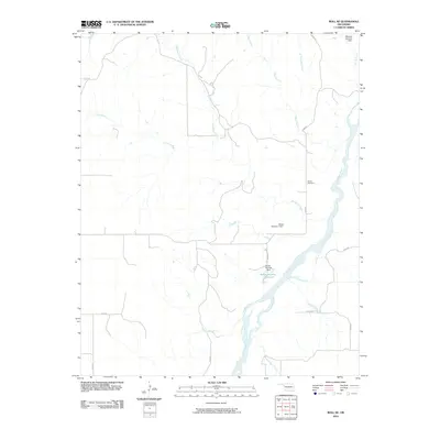 2010 Roll NE2010 Print · USGSWestern Oklahoma’s river-carved landscape is shown here during the early twenty-first century as the Canadian River winds through Ellis County. Local history researchers can locate the Ioland Cemetery or trace the drainage of Hackberry Creek and Spotted Deer Creek.
 - 2010 Map of Berlin, 2010 Print
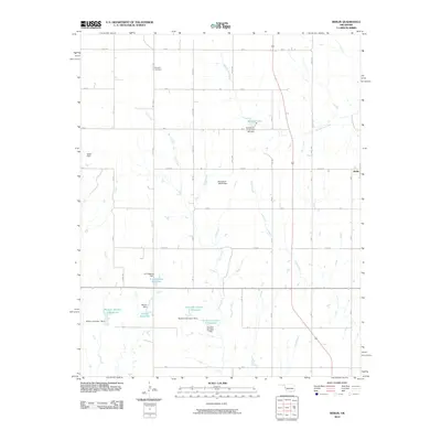 2010 Berlin2010 Print · USGSBerlin and the surrounding western Oklahoma ranch lands are shown in detail as they appeared in 2010. Local historians can trace water management sites and family landmarks like Rosehill Cemetery, Marshall Lake, and the D C Thetford Reservoir.
 - 2010 Map of Antelope Hills NE, 2010 Print
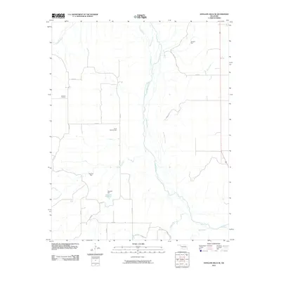 2010 Antelope Hills NE2010 Print · USGSOklahoma's western landscape is defined here by the wide valley of the Canadian River as it appeared in the early twenty-first century. Genealogists and local historians can trace family-named sites and rural infrastructure like the Belleview Cemetery, Hanawalt Reservoir, and Bachman Dam.
 - 2010 Map of Antelope Hills, 2010 Print
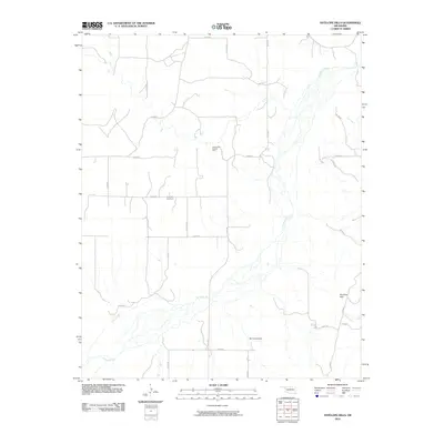 2010 Antelope Hills2010 Print · USGSThe braided channels of the Canadian River define this western Oklahoma landscape in the early twenty-first century. Genealogists and local historians can locate the Lone Tree Cemetery or trace the geography of the Bishop Gas and Oil Field and the distinctive Antelope Hills.
 - 2010 Map of Carpenter, 2010 Print
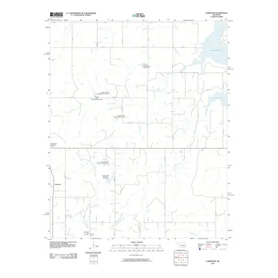 2010 Carpenter2010 Print · USGSCarpenter and the surrounding Roger Mills County plains are captured here in the early twenty-first century as a landscape of managed waterways and rural homesteads. Genealogists can locate the Thompson Cemetery and Thompson Pixlee Cemetery south of town, near the banks of Little Panther Creek.
 - 2010 Map of Dreyfoos, 2010 Print
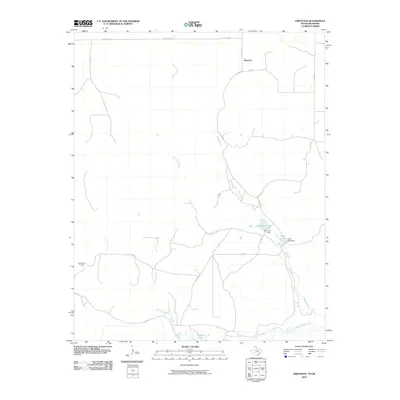 2010 Dreyfoos2010 Print · USGSHemphill County and the Panhandle high plains are captured here in the early twenty-first century, just north of the Canadian River. Trace the rural water systems and ranch roads of the region, from the Oasis Lake Dam and Dreyfoos to the McQuiddy Curves.
 - 2010 Map of Baker Lake, 2010 Print
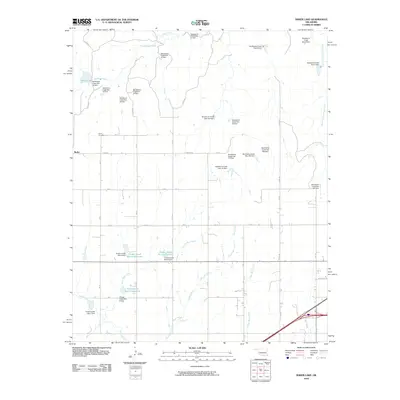 2010 Baker Lake2010 Print · USGSThe western Oklahoma plains near Berlin appear here during a period of intensive water management and rural development. Genealogists and local historians can locate Berlin Cemetery and trace the extensive network of dams and reservoirs like Baker Lake and Timber Creek Site 5 Reservoir.
 - 2010 Map of Allison, 2010 Print
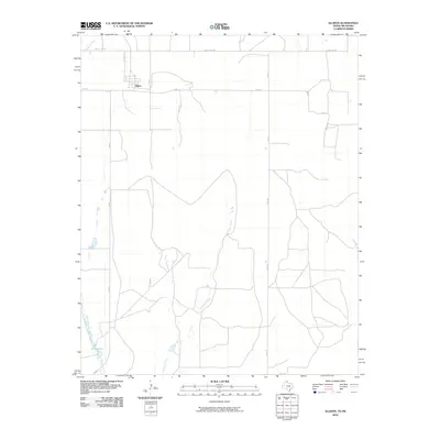 2010 Allison2010 Print · USGSAllison and the surrounding ranchlands near the Oklahoma border are shown here at the start of the 2010s. Local researchers can trace the rural road network connecting Allison to Frye Lakes and the drainages of Murtaugh Creek and Williams Creek.
 - 2010 Map of Kelton, 2010 Print
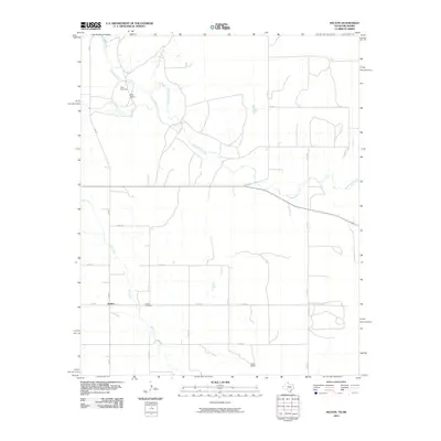 2010 Kelton2010 Print · USGSThe ranchlands of the eastern Texas Panhandle are documented here during the early twenty-first century. Genealogists and local historians can locate legacy sites like Rock Cemetery, Britt Ranch, and the small community of Kelton.
 - 2010 Map of Hackberry Creek, 2010 Print
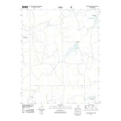 2010 Hackberry Creek2010 Print · USGSWestern Oklahoma’s ranching landscape is defined by the winding Washita River and a network of mid-century water management projects. Researchers can trace land use and watershed history through features like Huston Stickley Lake and Mulberry Draw.
 - 2010 Map of Gem, 2010 Print
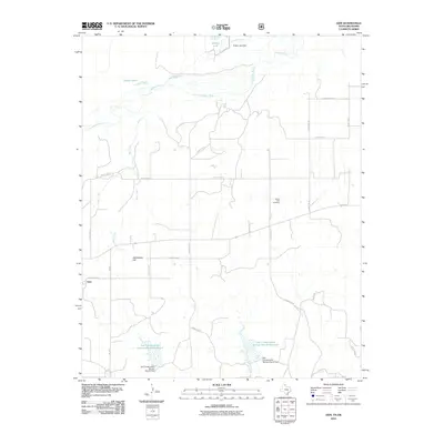 2010 Gem2010 Print · USGSThe Texas Panhandle near the Oklahoma border is captured here during a period of modern land conservation and ranching. You can trace the rural landscape through family-interest sites like Prairie Dell Cemetery and the landmark Rattlesnake Hill.
 - 2011 Map of Roll SE, 2011 Print
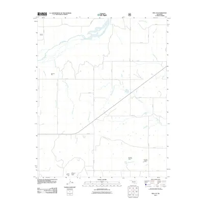 2011 Roll SE2011 Print · USGSWestern Oklahoma’s drainage patterns and rural infrastructure are clearly defined in this recent survey of Ellis County. Genealogists and historians can locate Lone Bell Cemetery or trace named waterworks like the Harold Mooney Dam and Nine Mile Creek Site 16 Dam.
 - 2011 Map of Cheyenne, 2011 Print
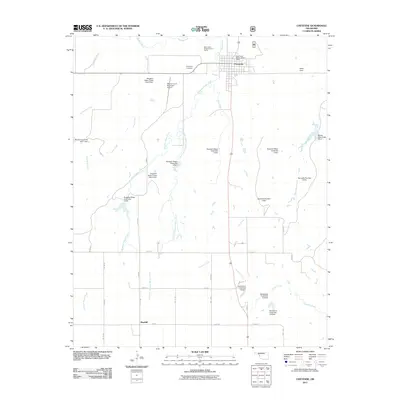 2011 Cheyenne2011 Print · USGSThe town of Cheyenne and its surrounding prairie landscape are documented here in the early twenty-first century. Researchers can trace land management through numerous named dams and sites like Rosehill, the Cheyenne Cemetery, and the Washita River valley.
 - 2011 Map of Strong City, 2011 Print
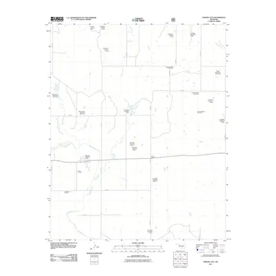 2011 Strong City2011 Print · USGSStrong City and the Washita River valley are shown here in the early twenty-first century, a landscape of prairie agriculture and extensive water management. Researchers can locate family burial sites at Strong Cemetery and Sankey Cemetery or trace the network of dams like Harold Mooney Dam.
 - 2011 Map of Reydon, 2011 Print
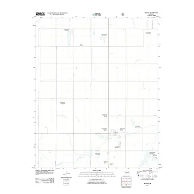 2011 Reydon2011 Print · USGSReydon and the surrounding Roger Mills County ranch lands are documented here during the early twenty-first century. Researchers can locate family sites near Union Chapel Cemetery or trace water management at Upper Washita Site 53 Dam and Rush Creek.
 - 2011 Map of Herring, 2011 Print
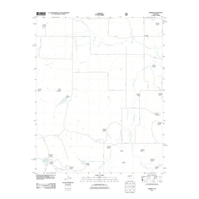 2011 Herring2011 Print · USGSRoger Mills County at the start of the 2010s shows a landscape of water management and energy production near Herring. Researchers can trace old family roots at Sandstone Cemetery or locate numerous water control sites like Sandstone Creek Site 2 Dam.
Showing maps 1-25 of 128
Top cities of Roger Mills County
Frequently asked questions
- What are the different types of historical maps available for Roger Mills County?
- What is the oldest map of Roger Mills County?
- Where can I purchase historical maps of Roger Mills County for my home or office?
- Where can I download high-res historical maps of Roger Mills County?
- Are there historical topographic maps available for Roger Mills County?
- Is there historical aerial imagery available for Roger Mills County?
- Where are historical maps of Roger Mills County sourced from?