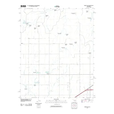
2010 Map of Baker Lake
USGS Topo · Published 2010About this map
Berlin serves as the primary settlement hub on this High Plains landscape, situated near the Berlin Cemetery in western Oklahoma. The terrain is defined by a sophisticated water management network, featuring an extensive series of flood control structures along Sandstone Creek and its tributaries. These include numerous numbered dams such as Sandstone Creek Site 16 Dam and Sandstone Creek Site 107 Dam, which regulate the flow toward larger catchments like Baker Lake. To the south, the drainage of Timber Creek is similarly managed by a sequence of reservoirs including Timber Creek Site 6 Reservoir and Timber Creek Site 4 Reservoir. The rural road system, marked by labels like e1080 RD and RM 24, follows the section lines of the survey grid, connecting the dispersed agricultural homesteads and water sites across the drainage basins of Coffee Bean Creek and Spring Creek.
Find a feature on this map
53 named features on this map. Tap any name to fly to it.
Don’t see what you’re looking for? This feature index may not catch every label — zoom into the map to look around manually.
Map Details
Editions of this 2010 Baker Lake Map
This is the sole edition of this map. No revisions or reprints were ever made.
Other maps of this area

1955 · Clinton
USGS Topo · 1:250,000

1957 · Clinton
USGS Topo · 1:250,000

1960 · Cheyenne
USGS Topo · 1:62,500

1960 · Sayre
USGS Topo · 1:62,500

1960 · Hammon
USGS Topo · 1:62,500

1961 · Elk City
USGS Topo · 1:62,500

1984 · Foss Reservoir
USGS Topo · 1:100,000

1985 · Elk City
USGS Topo · 1:100,000

1987 · Big Kiowa Creek
USGS Topo · 1:24,000

1987 · Elk City
USGS Topo · 1:24,000