Old Maps of Hammon, Oklahoma for Academic Research
Study the evolution of Hammon with 23 high-resolution historic maps. Whether you're teaching, researching, or modeling changes in land use, these maps provide essential visual documentation of urban, environmental, and geographic change.
- Analyze long-term change: Track patterns in development, transportation, and natural features.
- Ideal for environmental or urban studies: Support academic projects with primary historical map data.
- Use in the classroom or lab: Educators and researchers rely on these maps to bring historical context to life.
These maps are a powerful tool for teaching, research, and visualizing how Hammon has changed over the decades.
Hammon, OK maps
(23)- 1955 Map of Clinton, 1964 Print
 1955 Clinton1964 Print · USGSWestern Oklahoma during the mid-century transition shows a landscape of growing reservoirs and active military flight lines. Genealogists and historians can locate rural landmarks such as Mountain View Church, Berlin School, and the Riverside Indian School Reserve.3 unique versions available
 - 1957 Map of Clinton
 1957 Clinton1957 Print · USGSWestern Oklahoma in the mid-fifties is captured here as a landscape of river-valley settlements and emerging energy fields. Genealogists can trace family roots through numerous rural landmarks like the Swapping Back Indian School, Hebron Church, and the Riverside Indian School Reserve.
 - 1960 Map of Hammon, 1961 Print
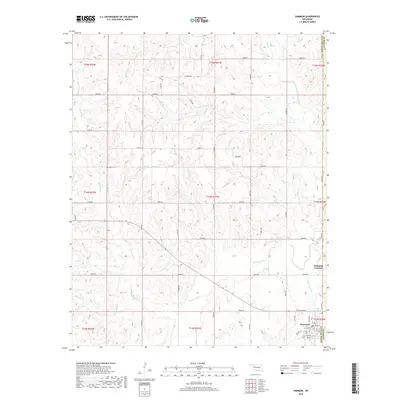
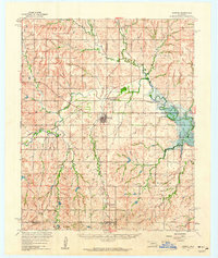 1960 Hammon1961 Print · USGSHammon and the surrounding High Plains communities are caught here at a mid-century peak of rail and river activity. Local researchers can trace the routes of the Missouri Kansas Texas railroad and locate rural landmarks like Thompson Cem and Moorewood.
 - 1984 Map of Foss Reservoir
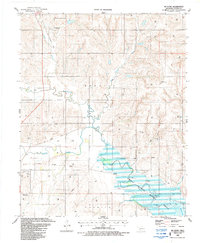
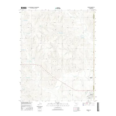
 1984 Foss Reservoir1984 Print · USGSWestern Oklahoma’s river valleys and prairie grasslands are captured here in the mid-eighties, a period of established reservoirs and active energy production. Researchers can trace rural lineages through local hubs like Cheyenne and Hammon or locate landmarks such as the Antelope Hills and Foss Reservoir.
 - 1987 Map of Big Kiowa Creek
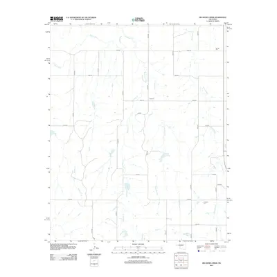
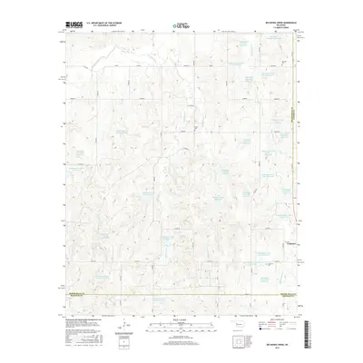
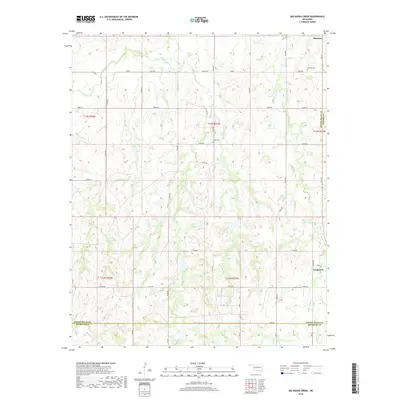
 1987 Big Kiowa Creek1987 Print · USGSWestern Oklahoma in the late eighties reveals a landscape shaped by petroleum and early rail history. Genealogists and historians can trace family locations through Red Hill Cem, Kiowa Cem, and the path of the Old Railroad Grade.
 - 1987 Map of Mc Clure
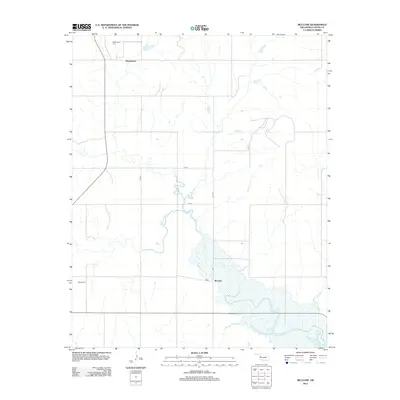
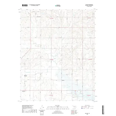
 1987 Mc Clure1987 Print · USGSCuster County in the late eighties shows a landscape of river-bottom conservation and energy production. Researchers can trace the Old Railroad Grade near McClure or locate family roots at Bethel Cem near the banks of the Washita River.
 - 1987 Map of Hammon
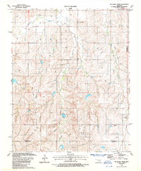
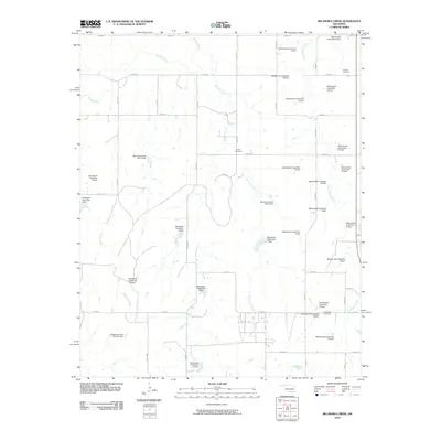
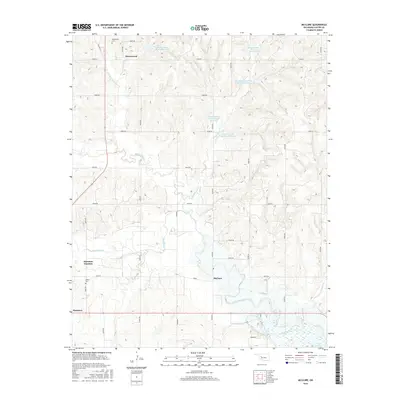
 1987 Hammon1987 Print · USGSThe town of Hammon is shown at the height of the regional energy boom in the late eighties, situated where the Washita River meets White Shield Creek. Researchers can trace old transportation corridors like the Old RR Grade and find family landmarks such as the Barker Cem.
 - 1990 Map of Foss Reservoir, 1991 Print
 1990 Foss Reservoir1991 Print · USGSWestern Oklahoma’s prairie and river systems are shown here as they appeared in the 1990s, dominated by conservation lands and water management. Researchers can trace the rail paths of the Atchison Topeka and Santa Fe and locate old rural centers like Strong City and Hammon.
 - 2010 Map of Big Kiowa Creek, 2010 Print
 2010 Big Kiowa Creek2010 Print · USGSCovers Hammon, including Custer County, Beckham County, and other nearby areas
 - 2010 Map of Hammon, 2010 Print
 2010 Hammon2010 Print · USGSCovers Hammon, including Hammon Junction, Custer County, and other nearby areas
 - 2010 Map of McClure, 2010 Print
 2010 McClure2010 Print · USGSCovers Hammon, including McClure, Moorewood, and other nearby areas
 - 2012 Map of Hammon, 2012 Print
 2012 Hammon2012 Print · USGSCovers Hammon, including Hammon Junction, Custer County, and other nearby areas
 - 2012 Map of Big Kiowa Creek, 2012 Print
 2012 Big Kiowa Creek2012 Print · USGSCovers Hammon, including Custer County, Beckham County, and other nearby areas
 - 2012 Map of McClure, 2012 Print
 2012 McClure2012 Print · USGSCovers Hammon, including McClure, Moorewood, and other nearby areas
 - 2016 Map of Big Kiowa Creek, 2016 Print
 2016 Big Kiowa Creek2016 Print · USGSCovers Hammon, including Custer County, Beckham County, and other nearby areas
 - 2016 Map of Hammon, 2016 Print
 2016 Hammon2016 Print · USGSCovers Hammon, including Hammon Junction, Custer County, and other nearby areas
 - 2016 Map of McClure, 2016 Print
 2016 McClure2016 Print · USGSCovers Hammon, including McClure, Moorewood, and other nearby areas
 - 2018 Map of Big Kiowa Creek, 2018 Print
 2018 Big Kiowa Creek2018 Print · USGSCovers Hammon, including Custer County, Beckham County, and other nearby areas
 - 2018 Map of Hammon, 2018 Print
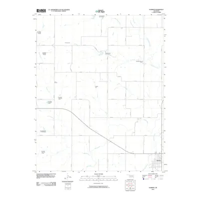
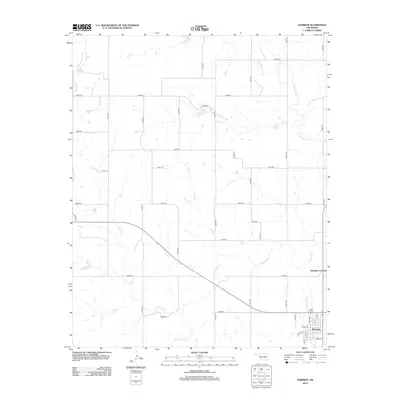
 2018 Hammon2018 Print · USGSCovers Hammon, including Hammon Junction, Custer County, and other nearby areas
 - 2018 Map of McClure, 2018 Print
 2018 McClure2018 Print · USGSCovers Hammon, including McClure, Moorewood, and other nearby areas
 - 2022 Map of McClure, 2022 Print
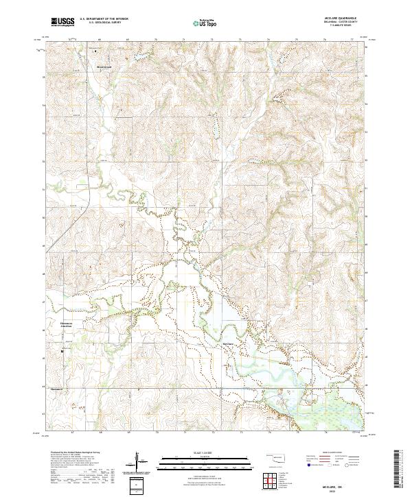 2022 McClure2022 Print · USGSWestern Oklahoma’s agricultural heartland is documented here in the early twenty-first century, centered on the Washita River valley. Genealogists can locate family landmarks like Moorewood Cem and Bethel Cem, or trace the rural road network connecting Moorewood and Mcclure.
 - 2022 Map of Big Kiowa Creek, 2022 Print
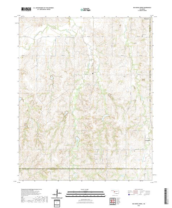 2022 Big Kiowa Creek2022 Print · USGSWestern Oklahoma’s prairie and creek bottoms are documented here in the early twenty-first century, showing the rural landscape of Roger Mills County. Genealogists can locate family sites near Red Hill Cem, Kiowa Cem, or the small settlements of Hammon and Carpenter.
 - 2022 Map of Hammon, 2022 Print
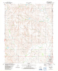
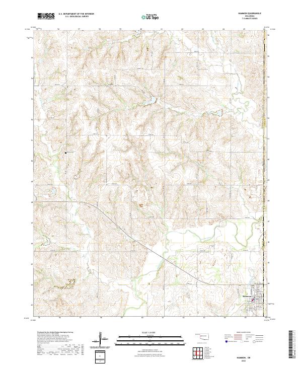 2022 Hammon2022 Print · USGSThe community of Hammon serves as a hub for this western Oklahoma landscape during the early 2000s. Genealogists and researchers can trace the town's street grid along Main St or locate rural landmarks like Barker Cem and the winding Washita River.
End of results
Showing maps 1-23 of 23
Top cities near Hammon
- Elk City historical maps
- Canute historical maps
- Butler historical maps
- Foss historical maps
- Strong City historical maps
Frequently asked questions
- What are the different types of historical maps available for Hammon?
- What is the oldest map of Hammon?
- Where can I purchase historical maps of Hammon for my home or office?
- Where can I download high-res historical maps of Hammon?
- Are there historical topographic maps available for Hammon?
- Is there historical aerial imagery available for Hammon?
- Where are historical maps of Hammon sourced from?