Old Maps of Verdigris, Oklahoma for Academic Research
Study the evolution of Verdigris with 31 high-resolution historic maps. Whether you're teaching, researching, or modeling changes in land use, these maps provide essential visual documentation of urban, environmental, and geographic change.
- Analyze long-term change: Track patterns in development, transportation, and natural features.
- Ideal for environmental or urban studies: Support academic projects with primary historical map data.
- Use in the classroom or lab: Educators and researchers rely on these maps to bring historical context to life.
These maps are a powerful tool for teaching, research, and visualizing how Verdigris has changed over the decades.
Verdigris, OK maps
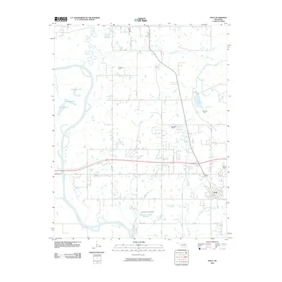
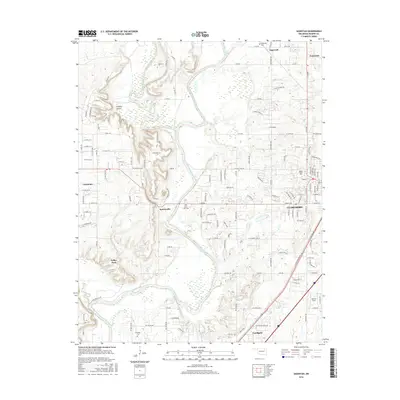
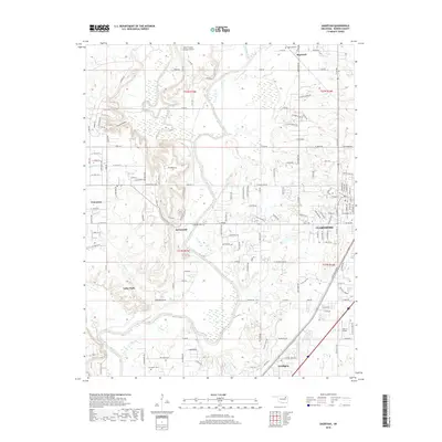
(31)- 1901 Map of Claremore
 1901 Claremore1901 Print · USGSThe Cherokee, Osage, and Creek Nations converge in the Indian Territory during this era of rapid railroad expansion. Researchers can trace early settlements and tribal boundaries, locating the Island Ferry, the junction at Claremore, and early Tulsa.4 unique versions available
 - 1914 Map of Claremore, 1959 Print
 1914 Claremore1959 Print · USGSNortheastern Oklahoma was a landscape of river crossings and rail towns in the years just before the Great War. Genealogists and researchers can trace the locations of dozens of vanished rural schools like Elm Ridge School, river landmarks such as Thomas Ferry, and the early footprints of Broken Arrow and Tulsa.
 - 1916 Map of Claremore
 1916 Claremore1916 Print · USGSThe Verdigris River valley and the burgeoning rail hubs of Rogers and Tulsa counties are captured here just after Oklahoma statehood. Genealogists can locate family homesteads near dozens of early schools like Fair Valley School or early churches such as Greenwood Chapel.4 unique versions available
 - 1954 Map of Tulsa
 1954 Tulsa1954 Print · USGSNortheast Oklahoma and the Ozark border are shown here during a period of massive industrial and infrastructure growth. Researchers can trace the legacy of the Tri-State Mining District and the development of major reservoirs like Grand Lake O' The Cherokees.2 unique versions available
 - 1958 Map of Tulsa, 1968 Print
 1958 Tulsa1968 Print · USGSNortheast Oklahoma and the Ozark borderlands are captured here during a massive era of reservoir construction and highway expansion. Researchers can trace the mid-century footprints of Tulsa, the sprawling Lake O' the Cherokees, and historical sites like Pea Ridge National Military Park.3 unique versions available
 - 1963 Map of Tulsa
 1963 Tulsa1963 Print · USGSThe Oklahoma and Arkansas borderlands are shown here in the early sixties, a time of massive reservoir construction and heavy mining. Genealogists can trace family roots through settlements like Nowata, Pryor, and Jay, or locate historical zinc and lead mines and coal mines.
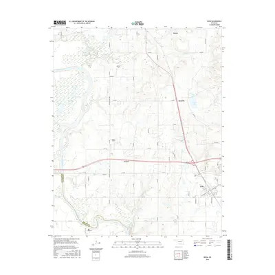
 - 1963 Map of Sageeyah, 1964 Print
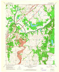
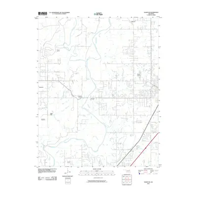
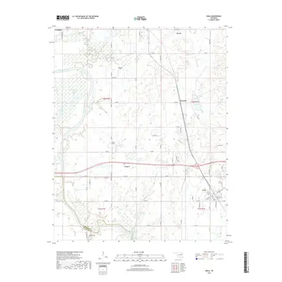
 1963 Sageeyah1964 Print · USGSRogers County in the early sixties reveals a landscape of river-bottom agriculture and emerging heavy transit. Researchers can locate vanished landmarks like the Oklahoma Military Academy and rural schoolhouses such as Lone Elm Sch and South Limestone Sch.3 unique versions available
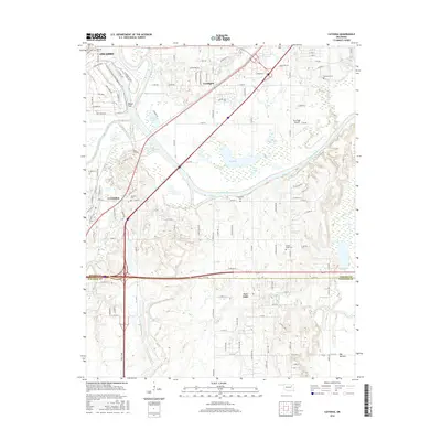
 - 1963 Map of Catoosa, 1964 Print
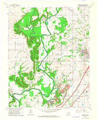
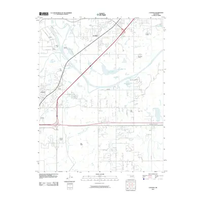
 1963 Catoosa1964 Print · USGSThe Verdigris River valley in the early sixties shows a landscape of growing infrastructure and heavy industry. Genealogists and researchers can trace rural life through the Keeton Sch, Timber Ridge Cem, and the massive Strip Mine south of Catoosa.4 unique versions available
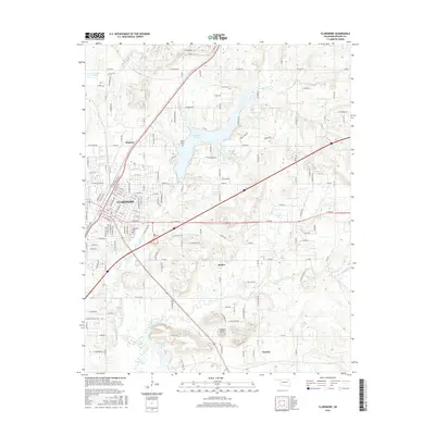
 - 1963 Map of Claremore, 1964 Print
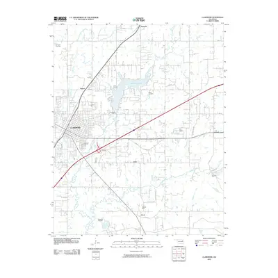
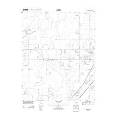
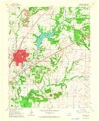 1963 Claremore1964 Print · USGSClaremore and its rural surroundings thrive in the early sixties as the Will Rogers Turnpike brings new infrastructure to the Verdigris Hills. Researchers can trace family sites like Lowrance Ranch, local schools including Justus Sch, and the grounds of Woodlawn Cem.3 unique versions available
 - 1963 Map of Inola, 1964 Print
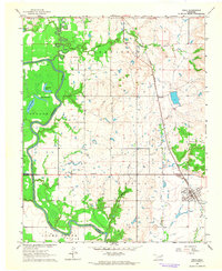 1963 Inola1964 Print · USGSNortheastern Oklahoma’s agricultural and industrial landscape is captured here in the early sixties, as the Verdigris River valley transitions toward Rogers and Wagoner counties. Genealogists and historians can locate rural landmarks like Sweeten Cemetery, Gregory School, and the Missouri Pacific rail corridor.3 unique versions available
 - 1985 Map of Tulsa
 1985 Tulsa1985 Print · USGSNortheastern Oklahoma in the mid-eighties shows a landscape shaped by massive reservoirs and a bustling transportation network. Researchers can trace the path of the Will Rogers Turnpike or locate local landmarks like Mohawk Park and Oologah Lake.2 unique versions available
 - 2010 Map of Inola, 2010 Print
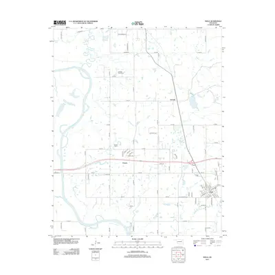
 2010 Inola2010 Print · USGSCovers Verdigris, including Claremore, Inola, and other nearby areas
 - 2010 Map of Claremore, 2010 Print
 2010 Claremore2010 Print · USGSCovers Verdigris, including Claremore, Justice, and other nearby areas
 - 2010 Map of Catoosa, 2010 Print
 2010 Catoosa2010 Print · USGSCovers Verdigris, including Tulsa, Owasso, and other nearby areas
 - 2010 Map of Sageeyah, 2010 Print
 2010 Sageeyah2010 Print · USGSCovers Verdigris, including Owasso, Claremore, and other nearby areas
 - 2012 Map of Sageeyah, 2012 Print
 2012 Sageeyah2012 Print · USGSCovers Verdigris, including Owasso, Claremore, and other nearby areas
 - 2012 Map of Catoosa, 2012 Print
 2012 Catoosa2012 Print · USGSCovers Verdigris, including Tulsa, Owasso, and other nearby areas
 - 2013 Map of Inola, 2013 Print
 2013 Inola2013 Print · USGSCovers Verdigris, including Claremore, Inola, and other nearby areas
 - 2013 Map of Claremore, 2013 Print
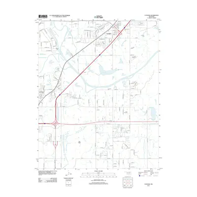
 2013 Claremore2013 Print · USGSCovers Verdigris, including Claremore, Justice, and other nearby areas
 - 2016 Map of Sageeyah, 2016 Print
 2016 Sageeyah2016 Print · USGSCovers Verdigris, including Owasso, Claremore, and other nearby areas
 - 2016 Map of Claremore, 2016 Print
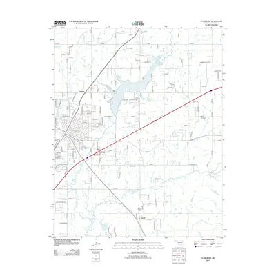
 2016 Claremore2016 Print · USGSCovers Verdigris, including Claremore, Justice, and other nearby areas
 - 2016 Map of Catoosa, 2016 Print
 2016 Catoosa2016 Print · USGSCovers Verdigris, including Tulsa, Owasso, and other nearby areas
 - 2016 Map of Inola, 2016 Print
 2016 Inola2016 Print · USGSCovers Verdigris, including Claremore, Inola, and other nearby areas
 - 2018 Map of Sageeyah, 2018 Print
 2018 Sageeyah2018 Print · USGSCovers Verdigris, including Owasso, Claremore, and other nearby areas
 - 2019 Map of Inola, 2019 Print
 2019 Inola2019 Print · USGSCovers Verdigris, including Claremore, Inola, and other nearby areas
Showing maps 1-25 of 31
Top cities near Verdigris
- Tulsa historical maps
- Broken Arrow historical maps
- Owasso historical maps
- Bixby historical maps
- Claremore historical maps
- Coweta historical maps
See more
Frequently asked questions
- What are the different types of historical maps available for Verdigris?
- What is the oldest map of Verdigris?
- Where can I purchase historical maps of Verdigris for my home or office?
- Where can I download high-res historical maps of Verdigris?
- Are there historical topographic maps available for Verdigris?
- Is there historical aerial imagery available for Verdigris?
- Where are historical maps of Verdigris sourced from?