2000s (21st Century) Maps of Verdigris, Oklahoma
Explore 20 historic maps of Verdigris from the 2000s (21st Century). These maps offer a rare glimpse into what life looked like during the 2000s — showing old roads, neighborhoods, homes, and landmarks that have changed or disappeared over time.
Whether you're researching your family's past, planning a metal detecting trip, or studying how Verdigris's landscape evolved across the 2000s, these high-resolution maps are a powerful tool for exploring the history of this region.
- Focus on a specific era: All maps on this page are from the 2000s, giving you a focused view of this time period.
- See what’s changed: Compare century-old streets, trails, and buildings to today's modern landscape using overlays and satellite layers.
- Research with precision: Use these maps for genealogy, historical research, land use analysis, or educational projects.
- View, download, or print: Maps are fully viewable online in high resolution, and can be downloaded or printed for your own records.
Start exploring Verdigris's history through authentic maps from the 2000s. This is your window into the past.
Verdigris, OK maps
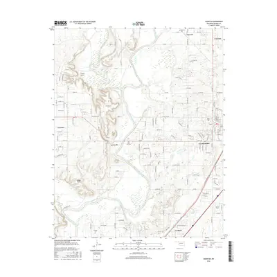
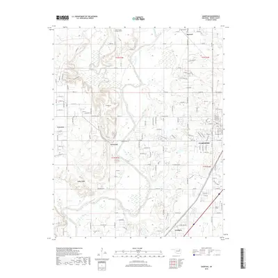
(20)- 2010 Map of Inola, 2010 Print
 2010 Inola2010 Print · USGSCovers Verdigris, including Claremore, Inola, and other nearby areas
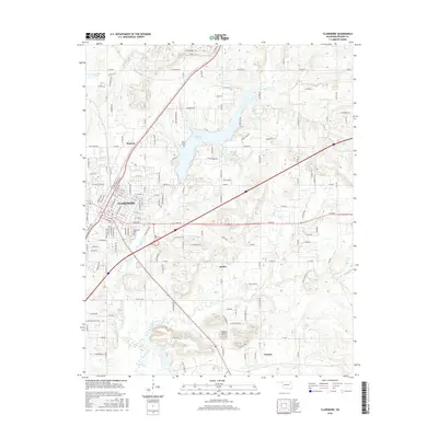
 - 2010 Map of Claremore, 2010 Print
 2010 Claremore2010 Print · USGSCovers Verdigris, including Claremore, Justice, and other nearby areas
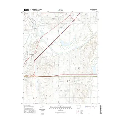
 - 2010 Map of Catoosa, 2010 Print
 2010 Catoosa2010 Print · USGSCovers Verdigris, including Tulsa, Owasso, and other nearby areas
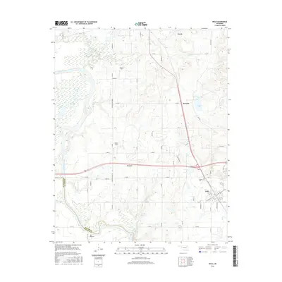
 - 2010 Map of Sageeyah, 2010 Print
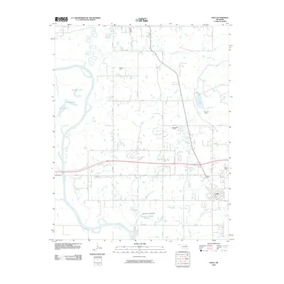
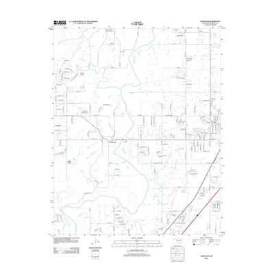
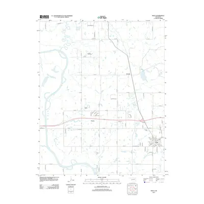
 2010 Sageeyah2010 Print · USGSCovers Verdigris, including Owasso, Claremore, and other nearby areas
 - 2012 Map of Sageeyah, 2012 Print
 2012 Sageeyah2012 Print · USGSCovers Verdigris, including Owasso, Claremore, and other nearby areas
 - 2012 Map of Catoosa, 2012 Print
 2012 Catoosa2012 Print · USGSCovers Verdigris, including Tulsa, Owasso, and other nearby areas
 - 2013 Map of Inola, 2013 Print
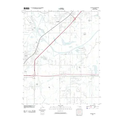
 2013 Inola2013 Print · USGSCovers Verdigris, including Claremore, Inola, and other nearby areas
 - 2013 Map of Claremore, 2013 Print
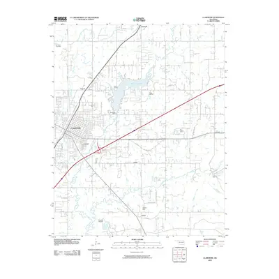
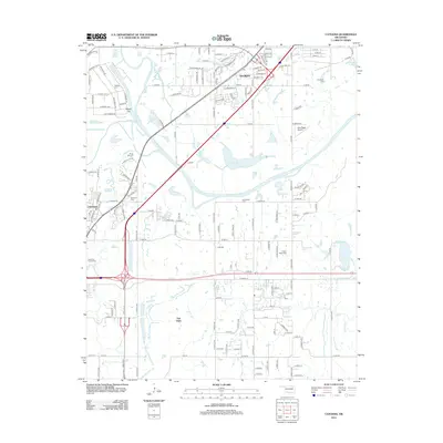
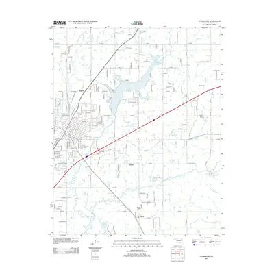 2013 Claremore2013 Print · USGSCovers Verdigris, including Claremore, Justice, and other nearby areas
 - 2016 Map of Sageeyah, 2016 Print
 2016 Sageeyah2016 Print · USGSCovers Verdigris, including Owasso, Claremore, and other nearby areas
 - 2016 Map of Claremore, 2016 Print
 2016 Claremore2016 Print · USGSCovers Verdigris, including Claremore, Justice, and other nearby areas
 - 2016 Map of Catoosa, 2016 Print
 2016 Catoosa2016 Print · USGSCovers Verdigris, including Tulsa, Owasso, and other nearby areas
 - 2016 Map of Inola, 2016 Print
 2016 Inola2016 Print · USGSCovers Verdigris, including Claremore, Inola, and other nearby areas
 - 2018 Map of Sageeyah, 2018 Print
 2018 Sageeyah2018 Print · USGSCovers Verdigris, including Owasso, Claremore, and other nearby areas
 - 2019 Map of Inola, 2019 Print
 2019 Inola2019 Print · USGSCovers Verdigris, including Claremore, Inola, and other nearby areas
 - 2019 Map of Claremore, 2019 Print
 2019 Claremore2019 Print · USGSCovers Verdigris, including Claremore, Justice, and other nearby areas
 - 2019 Map of Catoosa, 2019 Print
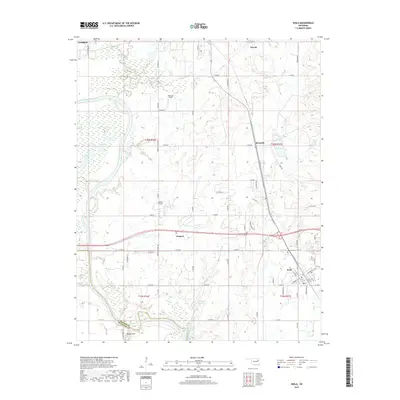
 2019 Catoosa2019 Print · USGSCovers Verdigris, including Tulsa, Owasso, and other nearby areas
 - 2022 Map of Sageeyah, 2022 Print
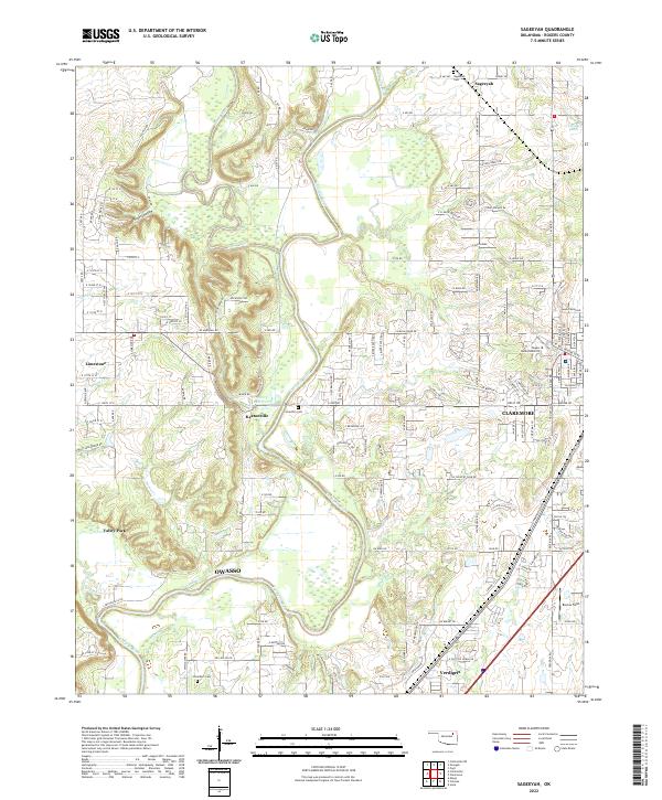 2022 Sageeyah2022 Print · USGSRogers County at the start of the 2020s shows the suburban expansion around the Verdigris River and Caney River confluence. Researchers can locate established sites like Sageeyah Cem, Lone Elm Cem, and the campus of Rogers State University.
 - 2022 Map of Catoosa, 2022 Print
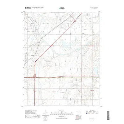
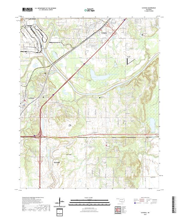 2022 Catoosa2022 Print · USGSCatoosa and the Verdigris River valley are shown here in the early twenty-first century, capturing a landscape defined by historic burial grounds and modern infrastructure. Researchers can trace family sites at Marshall Cem and River Hill Cem or follow the BNSF Railway through Verdigris.
 - 2022 Map of Inola, 2022 Print
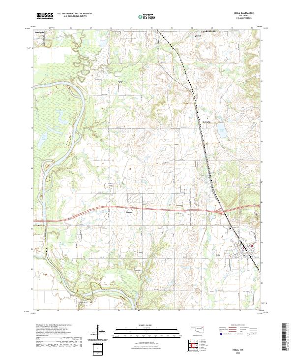 2022 Inola2022 Print · USGSEastern Oklahoma's river lowlands and regional hubs are captured here as they appeared in 2022. Researchers can trace the oxbows of the Verdigris River, locate the family history at Sweeten Cem, and survey the airfield at Gilstrap Field.
 - 2022 Map of Claremore, 2022 Print
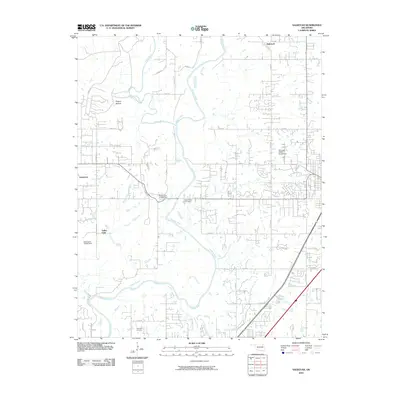
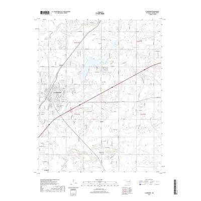
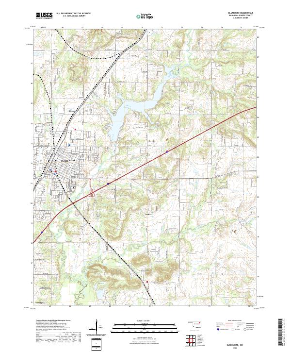 2022 Claremore2022 Print · USGSThe Rogers County seat and surrounding Tiawah Hills are shown here in the early twenty-first century as the region continues to expand. Researchers can trace the civic footprint of Claremore from the Rogers County Courthouse to Woodlawn Cem and the BNSF Railway.
End of results
Showing maps 1-20 of 20
Top cities near Verdigris
- Tulsa historical maps
- Broken Arrow historical maps
- Owasso historical maps
- Bixby historical maps
- Claremore historical maps
- Coweta historical maps
See more
Frequently asked questions
- What are the different types of historical maps available for Verdigris?
- What is the oldest map of Verdigris?
- Where can I purchase historical maps of Verdigris for my home or office?
- Where can I download high-res historical maps of Verdigris?
- Are there historical topographic maps available for Verdigris?
- Is there historical aerial imagery available for Verdigris?
- Where are historical maps of Verdigris sourced from?