2000s (21st Century) Maps of Seminole County, Oklahoma
Explore 110 historic maps of Seminole County from the 2000s (21st Century). These maps offer a rare glimpse into what life looked like during the 2000s — showing old roads, neighborhoods, homes, and landmarks that have changed or disappeared over time.
Whether you're researching your family's past, planning a metal detecting trip, or studying how Seminole County's landscape evolved across the 2000s, these high-resolution maps are a powerful tool for exploring the history of this region.
- Focus on a specific era: All maps on this page are from the 2000s, giving you a focused view of this time period.
- See what’s changed: Compare century-old streets, trails, and buildings to today's modern landscape using overlays and satellite layers.
- Research with precision: Use these maps for genealogy, historical research, land use analysis, or educational projects.
- View, download, or print: Maps are fully viewable online in high resolution, and can be downloaded or printed for your own records.
Start exploring Seminole County's history through authentic maps from the 2000s. This is your window into the past.
Seminole County, OK maps
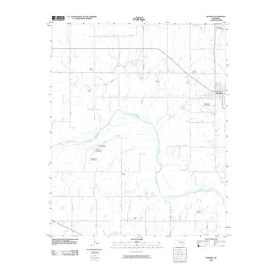
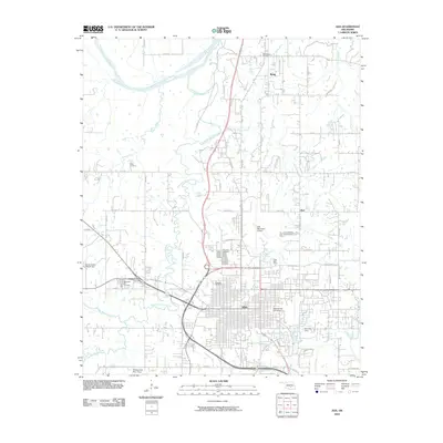
(110)- 2009 Map of Saint Louis, 2009 Print
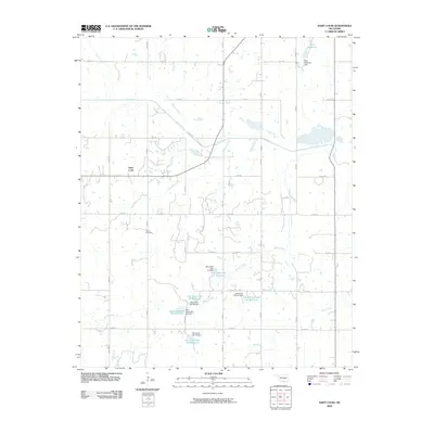 2009 Saint Louis2009 Print · USGSCovers Seminole County, including Maud, Saint Louis, and other nearby areas
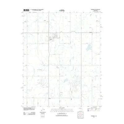
 - 2009 Map of Cromwell, 2009 Print
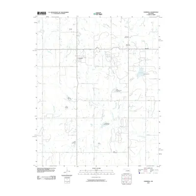 2009 Cromwell2009 Print · USGSCovers Seminole County, including Cromwell, Bearden, and other nearby areas
 - 2009 Map of Boley, 2009 Print
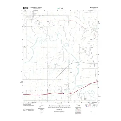 2009 Boley2009 Print · USGSCovers Seminole County, including Boley, Cromwell, and other nearby areas
 - 2009 Map of Wewoka West, 2009 Print
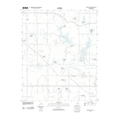 2009 Wewoka West2009 Print · USGSCovers Seminole County, including Seminole, Wewoka, and other nearby areas
 - 2009 Map of Konawa, 2009 Print
 2009 Konawa2009 Print · USGSCovers Seminole County, including Konawa, Maxwell, and other nearby areas
 - 2009 Map of Vamoosa, 2009 Print
 2009 Vamoosa2009 Print · USGSCovers Seminole County, including Konawa, Byng, and other nearby areas
 - 2009 Map of Francis, 2009 Print
 2009 Francis2009 Print · USGSCovers Seminole County, including Ada, Francis, and other nearby areas
 - 2009 Map of Sasakwa, 2009 Print
 2009 Sasakwa2009 Print · USGSCovers Seminole County, including Francis, Sasakwa, and other nearby areas
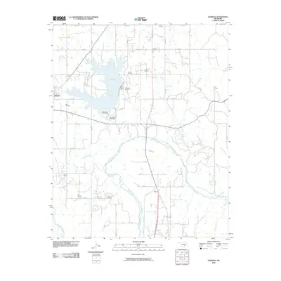
 - 2010 Map of Allen, 2010 Print
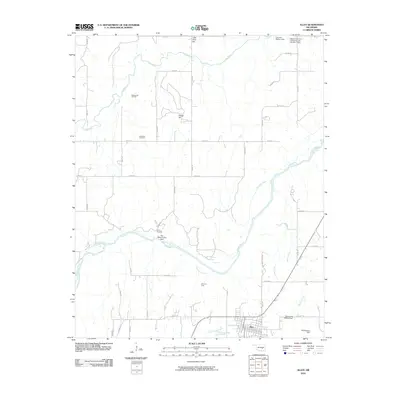 2010 Allen2010 Print · USGSCovers Seminole County, including Allen, Spaulding, and other nearby areas
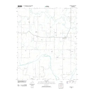
 - 2010 Map of Maud, 2010 Print
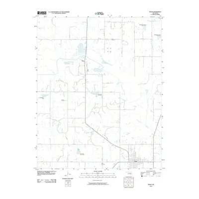 2010 Maud2010 Print · USGSCovers Seminole County, including Maud, Harjo, and other nearby areas
 - 2010 Map of Holdenville, 2010 Print
 2010 Holdenville2010 Print · USGSCovers Seminole County, including Holdenville, Wewoka, and other nearby areas
 - 2010 Map of Earlsboro, 2010 Print
 2010 Earlsboro2010 Print · USGSCovers Seminole County, including Shawnee, Earlsboro, and other nearby areas
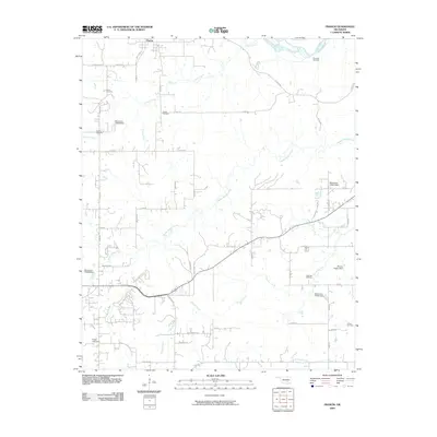
 - 2010 Map of Prague, 2010 Print
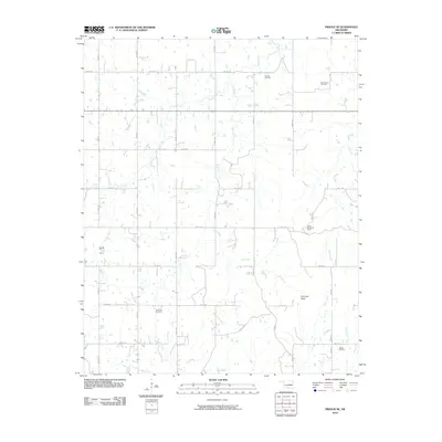
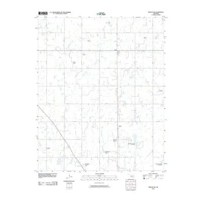
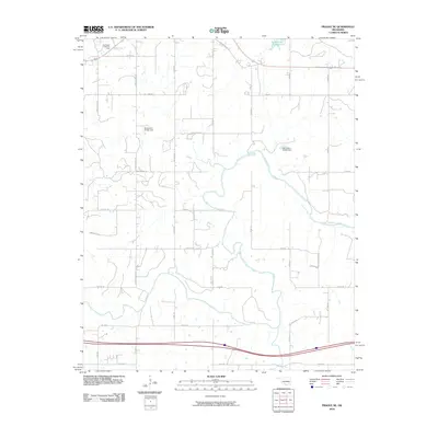
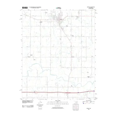 2010 Prague2010 Print · USGSCovers Seminole County, including Prague, Centerview, and other nearby areas
 - 2010 Map of Wolf, 2010 Print
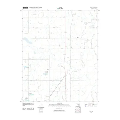 2010 Wolf2010 Print · USGSCovers Seminole County, including Wolf, United States, and other nearby areas
 - 2010 Map of Wewoka East, 2010 Print
 2010 Wewoka East2010 Print · USGSCovers Seminole County, including Wewoka, Hughes County, and other nearby areas
 - 2010 Map of Prague SE, 2010 Print
 2010 Prague SE2010 Print · USGSCovers Seminole County, including Sylvian, United States, and other nearby areas
 - 2010 Map of Prague SW, 2010 Print
 2010 Prague SW2010 Print · USGSCovers Seminole County, including Seminole, Little, and other nearby areas
 - 2010 Map of Tate Mountain, 2010 Print
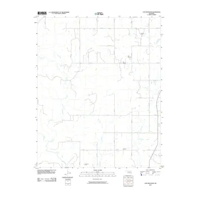 2010 Tate Mountain2010 Print · USGSCovers Seminole County, including Wewoka, United States, and other nearby areas
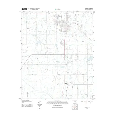
 - 2010 Map of Seminole, 2010 Print
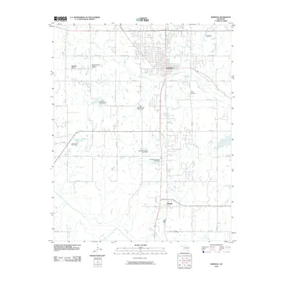 2010 Seminole2010 Print · USGSCovers Seminole County, including Seminole, Bowlegs, and other nearby areas
 - 2010 Map of Shawnee NE, 2010 Print
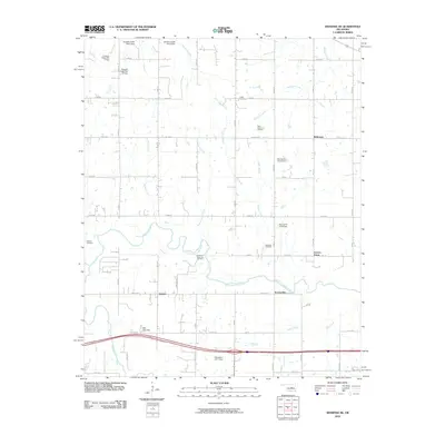 2010 Shawnee NE2010 Print · USGSCovers Seminole County, including Earlsboro, Johnson, and other nearby areas
 - 2010 Map of Prague NE, 2010 Print
 2010 Prague NE2010 Print · USGSCovers Seminole County, including Paden, Pottawatomie County, and other nearby areas
 - 2010 Map of Ada, 2010 Print
 2010 Ada2010 Print · USGSCovers Seminole County, including Ada, Byng, and other nearby areas
 - 2012 Map of Cromwell, 2012 Print
 2012 Cromwell2012 Print · USGSCovers Seminole County, including Cromwell, Bearden, and other nearby areas
 - 2012 Map of Seminole, 2012 Print
 2012 Seminole2012 Print · USGSCovers Seminole County, including Seminole, Bowlegs, and other nearby areas
 - 2012 Map of Saint Louis, 2012 Print
 2012 Saint Louis2012 Print · USGSCovers Seminole County, including Maud, Saint Louis, and other nearby areas
Showing maps 1-25 of 110
Top cities of Seminole County
- Seminole historical maps
- Wewoka historical maps
- Konawa historical maps
- Bowlegs historical maps
- Cromwell historical maps
- Sasakwa historical maps
See more
Frequently asked questions
- What are the different types of historical maps available for Seminole County?
- What is the oldest map of Seminole County?
- Where can I purchase historical maps of Seminole County for my home or office?
- Where can I download high-res historical maps of Seminole County?
- Are there historical topographic maps available for Seminole County?
- Is there historical aerial imagery available for Seminole County?
- Where are historical maps of Seminole County sourced from?