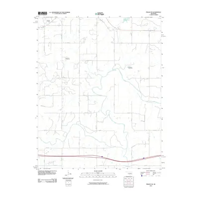
2010 Map of Prague NE
USGS Topo · Published 2010About this map
The Southwest Paden Oil Field marks the northern landscape of this Okfuskee County region, illustrating the continued significance of petroleum extraction in the Oklahoma economy of the early 21st century. The terrain is defined by a network of rural section-line roads and named local routes such as Garden Grove Rd and S River Rd that weave through a landscape of rolling topography and creek beds. Water management is a visible priority, evidenced by the presence of Paden Lake Number 1 and engineered structures like Oknoname 107031 Dam and Oknoname 107032 Dam. Transportation history is highlighted by the alignment of Old Hwy 62, while residential and ranching access is provided by numerous named lanes including Ratcliff Ln and Hunter Ln.
Find a feature on this map
28 named features on this map. Tap any name to fly to it.
Don’t see what you’re looking for? This feature index may not catch every label — zoom into the map to look around manually.
Map Details
Editions of this 2010 Prague NE Map
This is the sole edition of this map. No revisions or reprints were ever made.
Other maps of this area

1896 · Seminole and Prague
USGS Topo · 1:125,000

1900 · Wewoka
USGS Topo · 1:125,000

1901 · Nuyaka
USGS Topo · 1:125,000

1929 · Stroud
USGS Topo · 1:62,500

1932 · Stroud
USGS Topo · 1:62,500

1954 · Oklahoma City
USGS Topo · 1:250,000

1957 · Oklahoma City
USGS Topo · 1:250,000

1963 · Oklahoma City
USGS Topo · 1:250,000

1967 · Cromwell
USGS Topo · 1:24,000

1967 · Prague SW
USGS Topo · 1:24,000