2020s Maps of Sequoyah County, Oklahoma
Explore 29 historic maps of Sequoyah County from the 2020s. These maps offer a rare glimpse into what life looked like during the 2020s — showing old roads, neighborhoods, homes, and landmarks that have changed or disappeared over time.
Whether you're researching your family's past, planning a metal detecting trip, or studying how Sequoyah County's landscape evolved across the 2020s, these high-resolution maps are a powerful tool for exploring the history of this region.
- Focus on a specific era: All maps on this page are from the 2020s, giving you a focused view of this time period.
- See what’s changed: Compare century-old streets, trails, and buildings to today's modern landscape using overlays and satellite layers.
- Research with precision: Use these maps for genealogy, historical research, land use analysis, or educational projects.
- View, download, or print: Maps are fully viewable online in high resolution, and can be downloaded or printed for your own records.
Start exploring Sequoyah County's history through authentic maps from the 2020s. This is your window into the past.
Sequoyah County, OK maps
(29)- 2020 Map of Natural Dam, 2020 Print
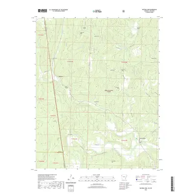 2020 Natural Dam2020 Print · USGSCovers Sequoyah County, including Davidson, Natural Dam, and other nearby areas
 - 2020 Map of Uniontown, 2020 Print
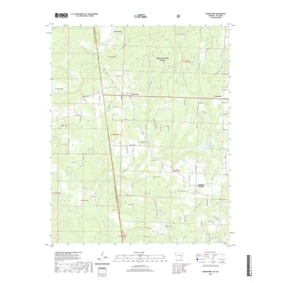 2020 Uniontown2020 Print · USGSCovers Sequoyah County, including Cedarville, Short, and other nearby areas
 - 2020 Map of South Fort Smith, 2020 Print
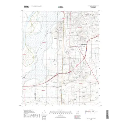 2020 South Fort Smith2020 Print · USGSCovers Sequoyah County, including Fort Smith, Pocola, and other nearby areas
 - 2020 Map of Fort Smith, 2020 Print
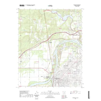 2020 Fort Smith2020 Print · USGSCovers Sequoyah County, including Fort Smith, Van Buren, and other nearby areas
 - 2022 Map of Stigler NE, 2022 Print
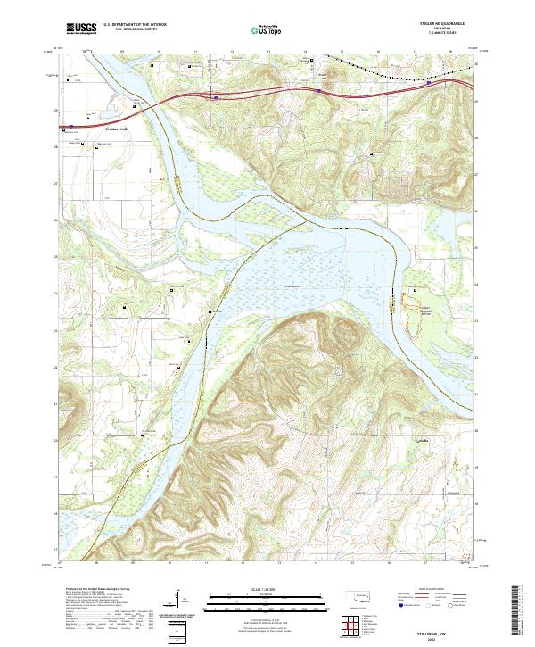 2022 Stigler NE2022 Print · USGSThe confluence of the Arkansas and Illinois Rivers defines this area in the early 2020s, dominated by the Robert S-Kerr Reservoir. Family historians can trace numerous burial sites including the Hanks Family Cem, Fields Cem, and Tom Girty Cem near the settlement of Tamaha.
 - 2022 Map of Qualls, 2022 Print
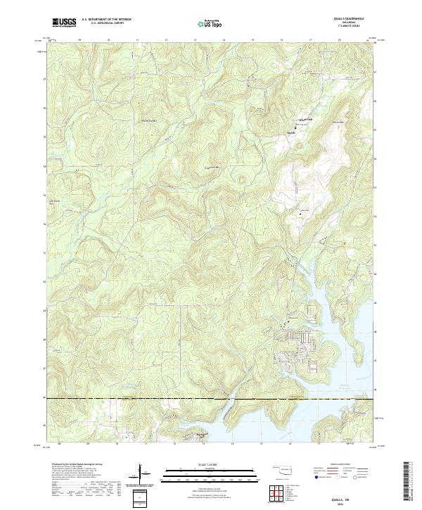 2022 Qualls2022 Print · USGSThe Cookson Hills of Cherokee County are shown here in modern detail, from the heights of Grapevine Mtn to the shores of Tenkiller Ferry Lake. Researchers can trace family history through White Oak Cem and Sellers Cem or explore the rural layout of Qualls and Paradise Hill.
 - 2022 Map of Braggs, 2022 Print
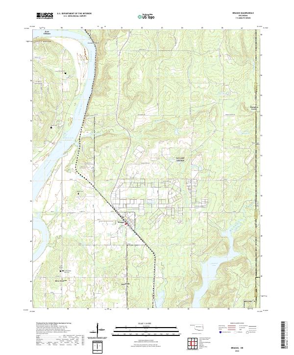 2022 Braggs2022 Print · USGSThe Arkansas River valley comes alive in this contemporary view of Muskogee County, showing the region's unique blend of riverfront lowlands and upland ridges. Genealogists can trace family footprints at Walker Cem and South Bethel Cem or explore the settlements of Braggs and Pumpkin Center.
 - 2022 Map of Brushy, 2022 Print
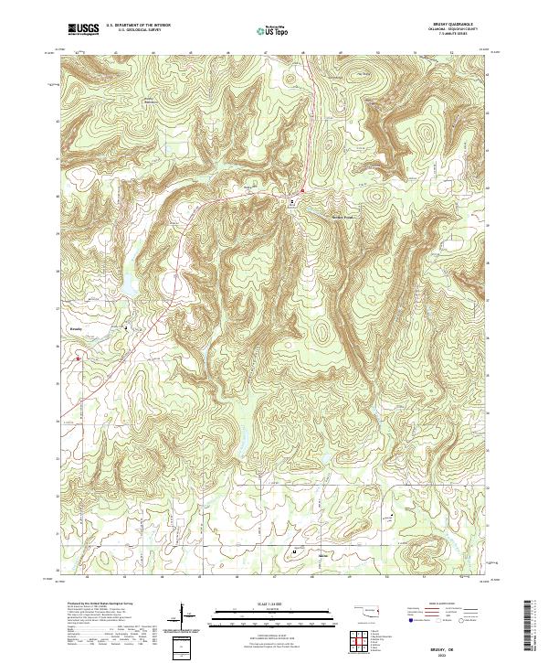 2022 Brushy2022 Print · USGSSequoyah County in the early twenty-first century remains a landscape of high ridges and deep hollows where rural life is centered on family landmarks. Researchers can locate ancestral sites at Brushy Cem or Akins Cem and trace the paths through Sonny Gile Hollow and along Prairie Cr.
 - 2022 Map of Blackgum, 2022 Print
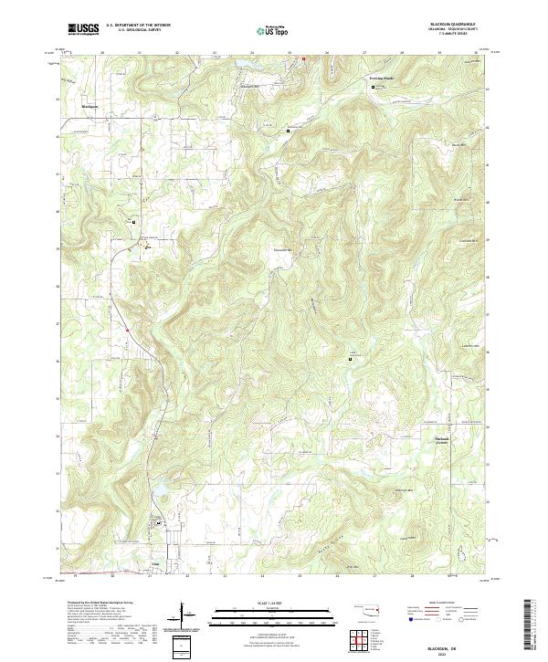 2022 Blackgum2022 Print · USGSSequoyah County's upland communities and creek valleys are documented here in the early twenty-first century. Genealogists can locate family burial sites like Cherokee - McCoy Cem and Box Cem while tracing the winding paths of Vian Cr and Pinhook Cr.
 - 2022 Map of Nicut, 2022 Print
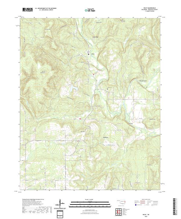 2022 Nicut2022 Print · USGSSequoyah County's Ozark foothills are captured in the early 2020s, showing a landscape of deep hollows and high ridges near the Arkansas border. Researchers can trace family sites at the John Seabolt Cem or follow the waters of Little Lee Creek past Star Bluff.
 - 2022 Map of Bunch, 2022 Print
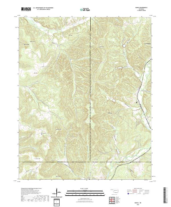 2022 Bunch2022 Print · USGSThe Cookson Hills of eastern Oklahoma come to life on this map of the Bunch area, where county lines intersect across high ridges. Genealogists and local historians can trace family ties through Bunch Cem, Flute Springs Cem, and the winding Walkingstick Hollow.
 - 2022 Map of Gans, 2022 Print
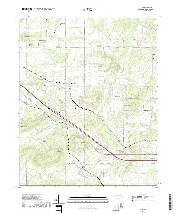 2022 Gans2022 Print · USGSSequoyah County settlements and cemeteries are well-documented in this recent survey of the Oklahoma landscape. Genealogists can trace family sites at Old Seabolt Cemetery and Mitchell Cemetery near Gans and Blackjack.
 - 2022 Map of Big Round Mountain, 2022 Print
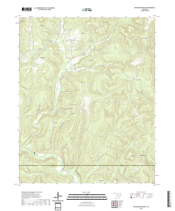 2022 Big Round Mountain2022 Print · USGSEastern Oklahoma's rugged Ozark hills are captured here in the early twenty-first century, showing the isolated communities and family landmarks of Adair County. Genealogists can locate Salem Cem and Rock Fence Cem or trace old routes like Bell Rd and Cherokee Nation Rd.
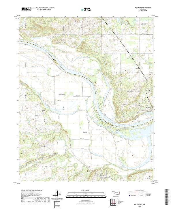
 - 2022 Map of Muldrow, 2022 Print
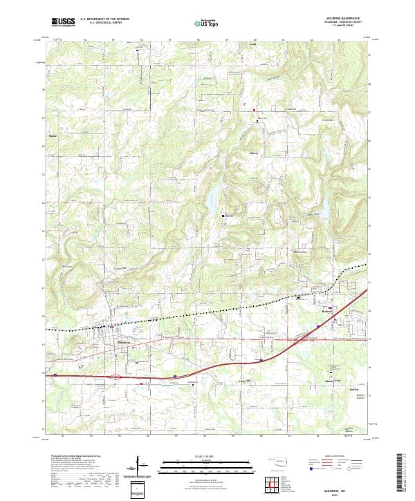 2022 Muldrow2022 Print · USGSSequoyah County settlements south of the Ozark foothills come into focus in this recent survey of the region between Muldrow and the Arkansas border. Genealogists can trace family names and local burials at the Muldrow Cem, Roland Cem, and the secluded Long Cem.
 - 2022 Map of Greasy, 2022 Print
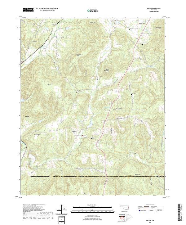 2022 Greasy2022 Print · USGSAdair County communities and the foothills of the Ozarks are documented here in the early twenty-first century. Researchers can locate family landmarks like Chuculate Cem, Beaver Cem, and the settlement at Greasy.
 - 2022 Map of Marble City, 2022 Print
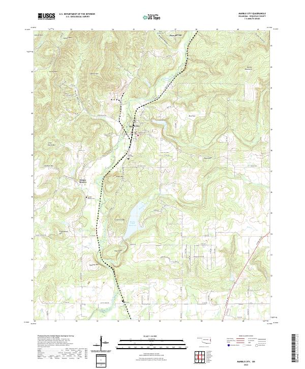 2022 Marble City2022 Print · USGSMarble City and the surrounding Oklahoma foothills are captured in this recent survey, showcasing a landscape shaped by narrow valleys and steep ridges. Researchers can locate Dwight Mission, Marble City Cem, and numerous landmarks like Schoolhouse Mtn.
 - 2022 Map of Fort Coffee, 2022 Print
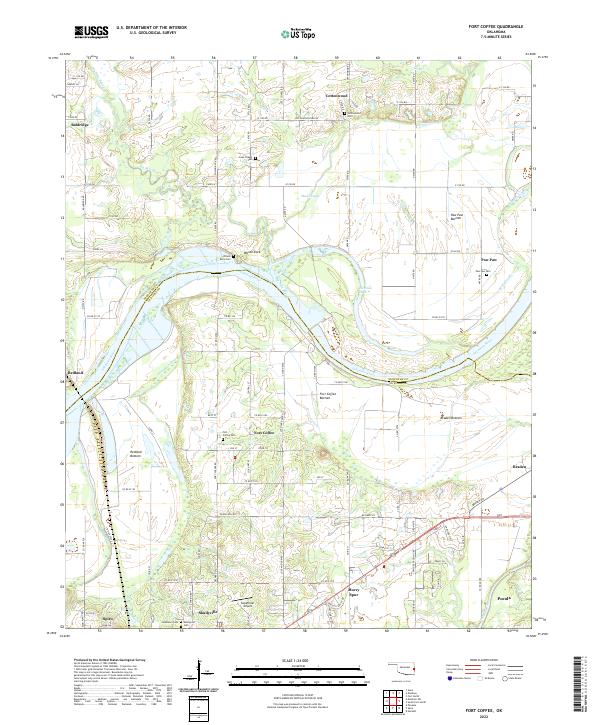 2022 Fort Coffee2022 Print · USGSThe Arkansas River valley near the Oklahoma-Arkansas border reveals a landscape defined by its river bottoms and Choctaw history. Genealogists can trace family names through Skullyville Cem, Lees Chapel Cem, and the riverfront settlement at Wilson Rock.
 - 2022 Map of Webbers Falls, 2022 Print
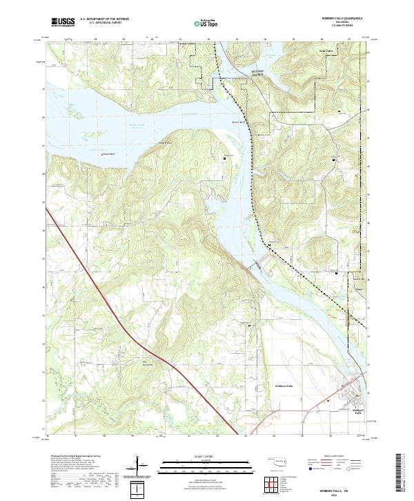 2022 Webbers Falls2022 Print · USGSThe Arkansas River corridor near the Muskogee and Sequoyah county line is documented here in the early twenty-first century. History seekers can trace the river landings and local settlements of Webbers Falls, Gore, and Sour John.
 - 2022 Map of Gore, 2022 Print
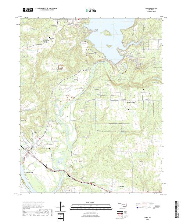 2022 Gore2022 Print · USGSThe Illinois and Arkansas Rivers meet here in the 2020s, a landscape defined by Cherokee history and the Tenkiller Ferry Lake dam. Researchers can trace family roots at Redbird Cem, the Gates Family Cem Gumsprings, or the community of Redbird Smith.
 - 2022 Map of Robert S Kerr Dam, 2022 Print
 2022 Robert S Kerr Dam2022 Print · USGSThe river valleys and reservoirs of Haskell, Sequoyah, and Le Flore counties are captured here in the early twenty-first century. Researchers can trace family history through several local burial grounds, including Star Cem and Cowlington Cem, or explore the terrain around Short Mtn.
 - 2022 Map of Vian, 2022 Print
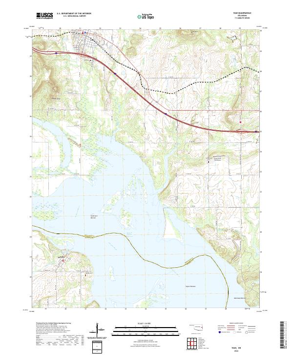 2022 Vian2022 Print · USGSEastern Oklahoma's river valley comes alive in this contemporary survey of the settlements and wetlands along the Arkansas River. Researchers can trace local heritage through sites like Vian Cem, the settlement of Tamaha, and the distinct geography of Potato Knob.
 - 2022 Map of Keota, 2022 Print
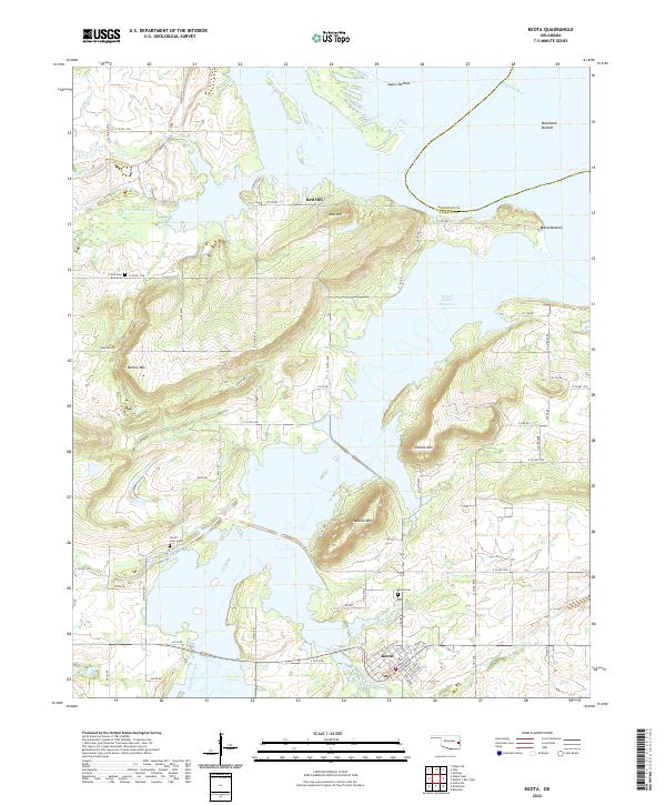 2022 Keota2022 Print · USGSHaskell County near the Arkansas River shows its modern character in the early 2020s as the town of Keota sits tucked between rugged peaks and the reservoir. Researchers can trace family sites at Little Sans Bois Cem or navigate the landings of the Robert S Kerr Reservoir.
 - 2022 Map of Cookson, 2022 Print
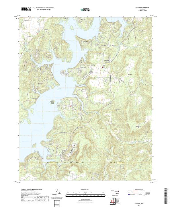 2022 Cookson2022 Print · USGSThe Cookson Hills meet the waters of the Illinois River in the early 2020s, showing a landscape shaped by the reservoir and steep ridge lines. Researchers can trace local landmarks like Cookson - Proctor Cem and aviation sites including Tenkiller Lake Airpark.
 - 2022 Map of Muldrow SW, 2022 Print
 2022 Muldrow SW2022 Print · USGSLe Flore and Sequoyah counties meet along the winding banks of the Arkansas River in the early 2020s. Genealogists and local historians can trace the rural landscape surrounding Cowlington, Stony Point, and the Redland Cem.
 - 2022 Map of Sallisaw, 2022 Print
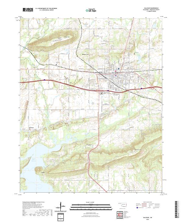 2022 Sallisaw2022 Print · USGSSallisaw and the surrounding Oklahoma valley are shown here in 2022, framed by the heights of Badger Mountain and Wildhorse Mountain. Genealogists can trace family plots at Buffington Cem and Duncan Cem or locate the historic Sequoyah County Courthouse.
Showing maps 1-25 of 29
Top cities of Sequoyah County
- Sallisaw historical maps
- Muldrow historical maps
- Roland historical maps
- Vian historical maps
- Gore historical maps
- Marble City historical maps
See more
Frequently asked questions
- What are the different types of historical maps available for Sequoyah County?
- What is the oldest map of Sequoyah County?
- Where can I purchase historical maps of Sequoyah County for my home or office?
- Where can I download high-res historical maps of Sequoyah County?
- Are there historical topographic maps available for Sequoyah County?
- Is there historical aerial imagery available for Sequoyah County?
- Where are historical maps of Sequoyah County sourced from?