2000s (21st Century) Maps of Sequoyah County, Oklahoma
Explore 125 historic maps of Sequoyah County from the 2000s (21st Century). These maps offer a rare glimpse into what life looked like during the 2000s — showing old roads, neighborhoods, homes, and landmarks that have changed or disappeared over time.
Whether you're researching your family's past, planning a metal detecting trip, or studying how Sequoyah County's landscape evolved across the 2000s, these high-resolution maps are a powerful tool for exploring the history of this region.
- Focus on a specific era: All maps on this page are from the 2000s, giving you a focused view of this time period.
- See what’s changed: Compare century-old streets, trails, and buildings to today's modern landscape using overlays and satellite layers.
- Research with precision: Use these maps for genealogy, historical research, land use analysis, or educational projects.
- View, download, or print: Maps are fully viewable online in high resolution, and can be downloaded or printed for your own records.
Start exploring Sequoyah County's history through authentic maps from the 2000s. This is your window into the past.
Sequoyah County, OK maps
(125)- 2010 Map of Muldrow, 2010 Print
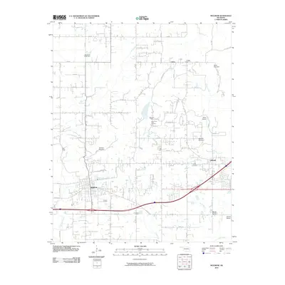 2010 Muldrow2010 Print · USGSSequoyah County is shown at a time of modern growth along the state line, where developing communities meet the older rural landscape. Researchers can locate family landmarks like Faulkner Cemetery, Petree Mountain, and the historic settlement of Liberty.
 - 2010 Map of Nicut, 2010 Print
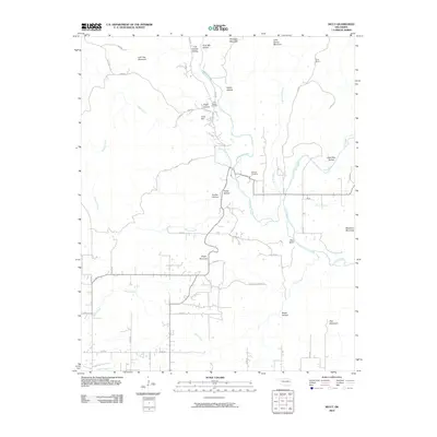 2010 Nicut2010 Print · USGSOklahoma’s borderlands near the turn of the decade reveal a landscape where family history is etched into the hills. Genealogists and local historians can trace legacy sites like the John Seabolt Cemetery, Curts Ranch, and the winding path of Little Lee Creek.
 - 2010 Map of Bunch, 2010 Print
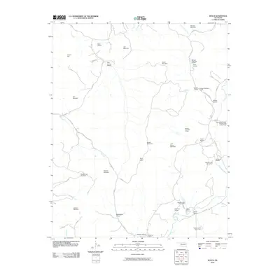 2010 Bunch2010 Print · USGSCherokee County at the turn of the decade is defined by a intricate system of hollows and ridges managed by the Sallisaw Creek watershed project. Genealogists and local historians can trace family-named landmarks like Walkingstick Hollow and Flute Springs Cemetery.
 - 2010 Map of Blackgum, 2010 Print
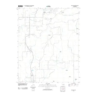 2010 Blackgum2010 Print · USGSThe foothills of the Ozarks are on full display in this 2010 study of Sequoyah County, characterized by prominent peaks and rural homesteads. Genealogists and hikers can trace family-named sites and landmarks like Cherokee-McCoy Cemetery, Blackgum Mountain, and Wells Hollow.
 - 2010 Map of Greasy, 2010 Print
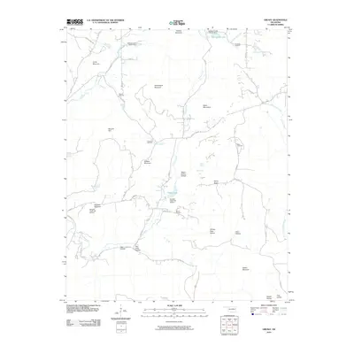 2010 Greasy2010 Print · USGSAdair County’s upland landscape is captured here in the early twenty-first century, showing a rural region shaped by creek drainages and high ridges. Genealogists can locate several family burial sites like Killer Cemetery and Chullawe Cemetery near the waters of Dahlonegah Lake.
 - 2010 Map of Brushy, 2010 Print
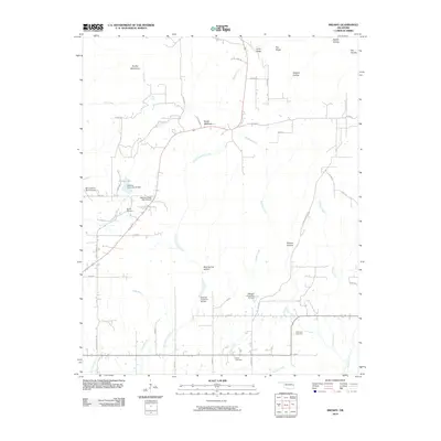 2010 Brushy2010 Print · USGSSequoyah County's upland terrain is meticulously documented in the early 2000s, showing a landscape defined by ranching and watershed management. Genealogists and local historians can locate family burial grounds at Brushy Cemetery or Akins Cemetery and trace landmarks like Rocky Mountain.
 - 2010 Map of Marble City, 2010 Print
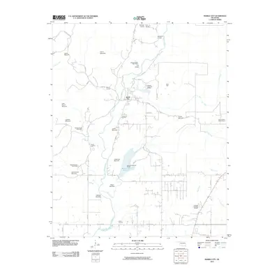 2010 Marble City2010 Print · USGSMarble City and the surrounding Oklahoma highlands are captured here in the early twenty-first century, showing a landscape defined by ridges and water management. Genealogists can trace family burial sites at Flute Springs Cemetery and McCoy Cemetery or explore the terrain around Quarry Mountain.
 - 2010 Map of Fort Coffee, 2010 Print
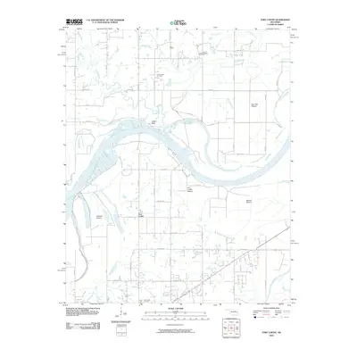 2010 Fort Coffee2010 Print · USGSLeFlore County's river valley and the community of Fort Coffee are documented here in the early 2000s, showing a landscape defined by the Arkansas River. Researchers can locate historic burial sites like New Hope Cemetery and landmarks such as Wilson Rock and Lees Chapel.
 - 2010 Map of Gans, 2010 Print
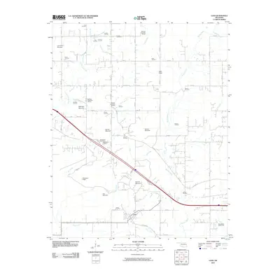 2010 Gans2010 Print · USGSGans and the surrounding Oklahoma uplands are documented here during the first decade of the 21st century. Researchers can trace numerous family-named landmarks and burial sites, including Fleetwood Cemetery, Lone Pine Mountain, and Gans Cemetery.
 - 2010 Map of Big Round Mountain, 2010 Print
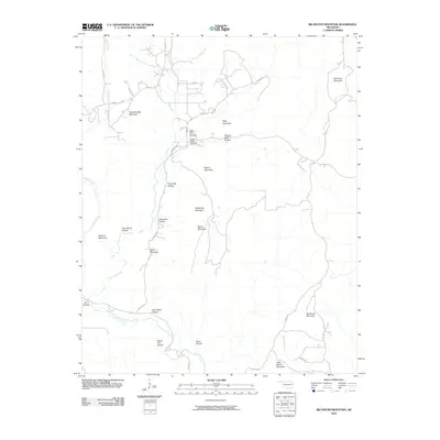 2010 Big Round Mountain2010 Print · USGSAdair County’s ridge-and-hollow topography is meticulously detailed here in the first decade of the 2000s. Researchers can trace family-named landmarks and local terrain features like John Watie Hollow, Big Round Mountain, and Sonny Gile Hollow.
 - 2010 Map of Braggs, 2010 Print
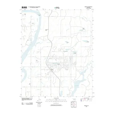 2010 Braggs2010 Print · USGSMuskogee County in the early 21st century is characterized by the expansive military grounds of Camp Gruber and the winding Arkansas River. Genealogists and historians can locate several family burial sites including Harnage Cemetery and Harris Cemetery near Braggs.
 - 2010 Map of Gore, 2010 Print
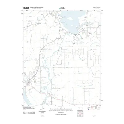 2010 Gore2010 Print · USGSGore and the surrounding Sequoyah County river country are shown here in the early twenty-first century as the landscape balances recreation and history. Researchers can locate numerous family burial sites like Tee Hee Cemetery and Wilson Cemetery or trace the impact of the Tenkiller Ferry Dam on the Illinois River.
 - 2010 Map of Qualls, 2010 Print
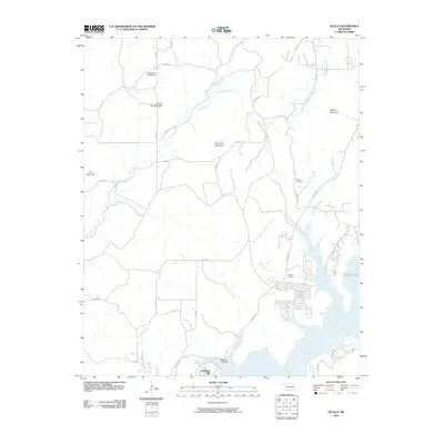 2010 Qualls2010 Print · USGSOklahoma's Cookson Hills region comes into focus in the early twenty-first century as the Illinois River flows toward the Tenkiller Lake reservoir. Researchers can locate family landmarks like Sellers Cemetery or trace the winding course of Burnt Cabin Creek and Greenleaf Creek through the mountains.
 - 2010 Map of Webbers Falls, 2010 Print
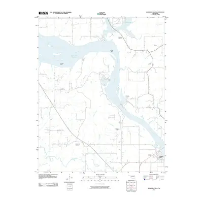 2010 Webbers Falls2010 Print · USGSThe riverfront town of Webbers Falls is shown here in the early twenty-first century, where the Arkansas River shapes the local economy and geography. Genealogists can locate several family burial sites like Plunkett Cemetery and Sam Cemetery near the banks of Greenleaf Creek.
 - 2010 Map of Stigler NE, 2010 Print
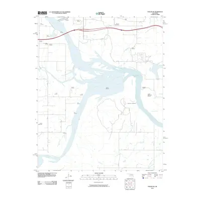 2010 Stigler NE2010 Print · USGSEastern Oklahoma's river valleys are captured here in the early twenty-first century as the major river systems converge. Genealogists and local historians can trace over a dozen burial sites including Hanks Cemetery, Wilkerson Cemetery, and Girty Cemetery.
 - 2010 Map of Cookson, 2010 Print
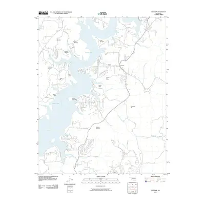 2010 Cookson2010 Print · USGSThe eastern shores of Tenkiller Lake are captured here at the start of the 2010s. Local researchers can trace the roads around Cookson, locate the Cookson Cemetery, or explore the geography of Wildhorse Mountain and Chicken Creek Island.
 - 2010 Map of Muldrow SW, 2010 Print
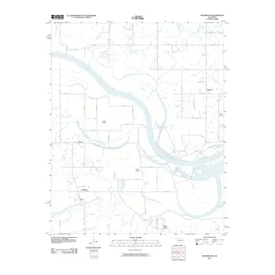 2010 Muldrow SW2010 Print · USGSOklahoma's river bottomlands are captured here in the early twenty-first century as the Arkansas River winds past rural agricultural communities. Genealogists and local historians can trace family locations near Center Point Cemetery or the small settlements of Foreman and Cowlington.
 - 2010 Map of Sallisaw, 2010 Print
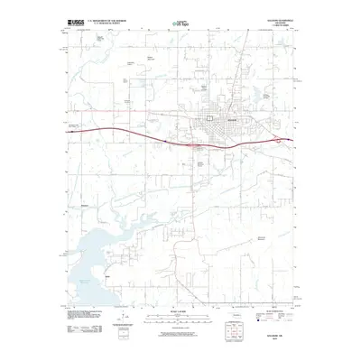 2010 Sallisaw2010 Print · USGSSallisaw and the Arkansas River valley are shown here just after the first decade of the millennium, following the region's development near the Robert S Kerr Reservoir. Researchers can trace local landmarks like Buffington Cemetery, Blue Ribbon Downs, and the community of Sadie.
 - 2010 Map of Vian, 2010 Print
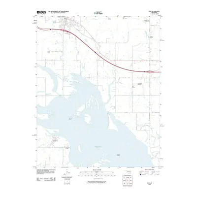 2010 Vian2010 Print · USGSSequoyah County and the shores of the Robert S. Kerr Reservoir are captured here in the early 2000s. Genealogists and local historians can trace burial sites at Vian Cemetery and Tamaha Cemetery or locate landmarks like Potato Knob and McKey.
 - 2010 Map of Robert S Kerr Dam, 2010 Print
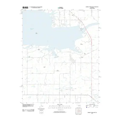 2010 Robert S Kerr Dam2010 Print · USGSLeFlore County's river landscape is shown here in the early twenty-first century, dominated by the massive Robert S Kerr Reservoir. Genealogists and local historians can locate rural landmarks like Brent Cemetery and the settlements of Brent and Star.
 - 2010 Map of Keota, 2010 Print
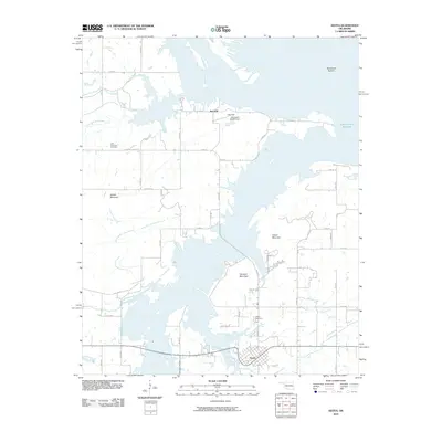 2010 Keota2010 Print · USGSHaskell County at the start of the 2010s shows a landscape reshaped by the waters of the Arkansas River. Local researchers can locate family sites at the Little Sans Bois Cemetery or trace the geography of settlements like Keota and Red Hill.
 - 2011 Map of Natural Dam, 2011 Print
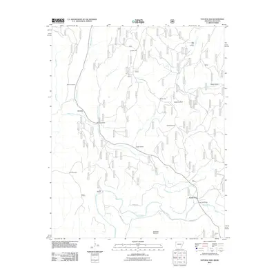 2011 Natural Dam2011 Print · USGSThe Arkansas-Oklahoma borderlands appear here in the early twenty-first century, showing the rural communities of Davidson and Liberty Hill. Researchers can trace local lineage at Bateman Cemetery or locate the crossing at Lee Creek Bridge.
 - 2011 Map of Uniontown, 2011 Print
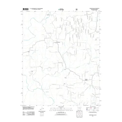 2011 Uniontown2011 Print · USGSThe Arkansas-Oklahoma borderlands come alive in this 2011 portrait of Crawford County’s rural highlands and winding creek valleys. Genealogists can trace family connections through numerous sites like Macedonia Cemetery, Salem Cemetery, and the Uniontown Post Office.
 - 2011 Map of Fort Smith, 2011 Print
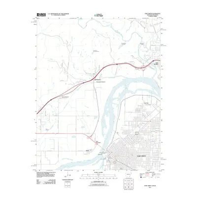 2011 Fort Smith2011 Print · USGSFort Smith and its neighboring river towns are captured in the early 2010s at the historic confluence of the Arkansas and Poteau rivers. Genealogists and local historians can locate family sites at Peevyhouse Cemetery, trace the Trail of Tears National Historic Trail Overlook, or study the layout of Moffett.
 - 2011 Map of South Fort Smith, 2011 Print
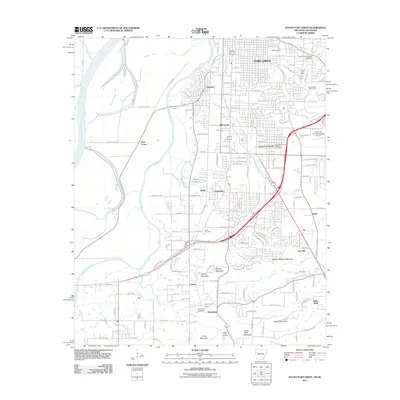 2011 South Fort Smith2011 Print · USGSThe Arkansas-Oklahoma borderlands south of FORT SMITH are shown here during a period of modern growth and industrial development. Researchers can trace local landmarks and burial grounds like Oak Cemetery, find the historic Saw Mill, or follow the winding Poteau River to Peno Corner.
Showing maps 1-25 of 125
Top cities of Sequoyah County
- Sallisaw historical maps
- Muldrow historical maps
- Roland historical maps
- Vian historical maps
- Gore historical maps
- Marble City historical maps
See more
Frequently asked questions
- What are the different types of historical maps available for Sequoyah County?
- What is the oldest map of Sequoyah County?
- Where can I purchase historical maps of Sequoyah County for my home or office?
- Where can I download high-res historical maps of Sequoyah County?
- Are there historical topographic maps available for Sequoyah County?
- Is there historical aerial imagery available for Sequoyah County?
- Where are historical maps of Sequoyah County sourced from?