Old Maps of Goodwell, Oklahoma for Genealogy
Trace your family roots with 15 historic maps of Goodwell. These high-res maps reveal old neighborhoods, homesites, landmarks, and streets — helping you uncover where your ancestors lived and how the area evolved over time.
- Explore historic neighborhoods: Identify where your relatives may have lived in the 1800s or 1900s.
- Compare maps over time: Trace the changes in streets, buildings, and landmarks for multi-generational research.
- Perfect for genealogy & ancestry research: Used by family historians and researchers to map out lineage and migration.
These maps are an incredible resource for exploring your personal connection to Goodwell's past.
Goodwell, OK maps
(15)- 1954 Map of Perryton, 1966 Print
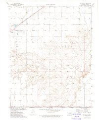
 1954 Perryton1966 Print · USGSThe High Plains of the Texas and Oklahoma panhandles are shown during a period of steady growth in the mid-1950s. Genealogists and researchers can trace rail history and local landmarks like Panhandle A & M College, Spurlock Chapel, and the isolated Lord Station.3 unique versions available
 - 1958 Map of Perryton
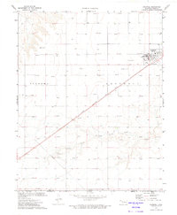
 1958 Perryton1958 Print · USGSThe Oklahoma Panhandle and Texas borderlands come alive in this mid-century survey, showing the vital rail-and-ranch economy of the High Plains. Researchers can trace historic stops along the Chicago Rock Island and Pacific and locate rural landmarks like Bethel Church and Spurlock Chapel.
 - 1973 Map of Goodwell SE, 1975 Print
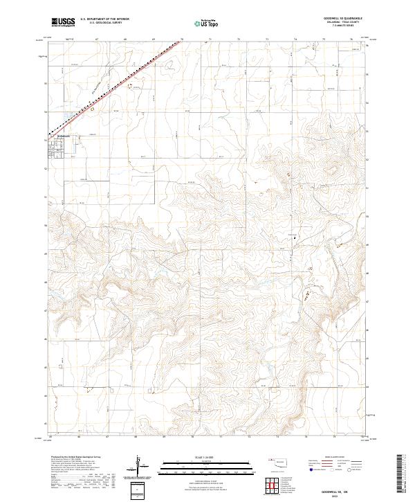
 1973 Goodwell SE1975 Print · USGSThe Oklahoma panhandle in the early seventies reveals a landscape of energy production and agricultural education along the Rock Island line. Trace the local geography from Goodwell to the Frisco Cem and the Panhandle State College Farm.
 - 1973 Map of Goodwell, 1975 Print
 1973 Goodwell1975 Print · USGSGoodwell and the surrounding Panhandle plains are captured in the early seventies, centered on the Panhandle State College campus. Researchers can trace the Chicago Rock Island and Pacific rail line and locate Caliche Pits and the Goodwell Cem.
 - 1982 Map of Guymon
 1982 Guymon1982 Print · USGSThe Oklahoma Panhandle and neighboring borders come into focus in the early eighties, showing a landscape of energy production and isolated prairie towns. Genealogists and historians can trace the rail-side growth of Guymon, the campus at Oklahoma Panhandle State University, and the extensive Oil and Gas Field developments.
 - 2010 Map of Goodwell, 2010 Print
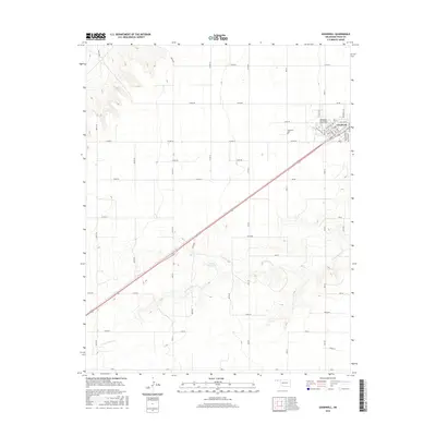
 2010 Goodwell2010 Print · USGSCovers Goodwell, including Texas County, United States, and other nearby areas
 - 2010 Map of Goodwell SE, 2010 Print
 2010 Goodwell SE2010 Print · USGSCovers Goodwell, including Texas County, United States, and other nearby areas
 - 2012 Map of Goodwell SE, 2012 Print
 2012 Goodwell SE2012 Print · USGSCovers Goodwell, including Texas County, United States, and other nearby areas
 - 2012 Map of Goodwell, 2012 Print
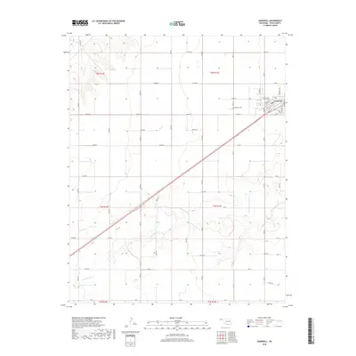
 2012 Goodwell2012 Print · USGSCovers Goodwell, including Texas County, United States, and other nearby areas
 - 2016 Map of Goodwell SE, 2016 Print
 2016 Goodwell SE2016 Print · USGSCovers Goodwell, including Texas County, United States, and other nearby areas
 - 2016 Map of Goodwell, 2016 Print
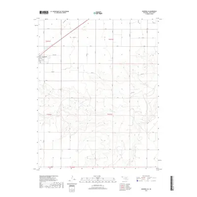
 2016 Goodwell2016 Print · USGSCovers Goodwell, including Texas County, United States, and other nearby areas
 - 2018 Map of Goodwell, 2018 Print
 2018 Goodwell2018 Print · USGSCovers Goodwell, including Texas County, United States, and other nearby areas
 - 2018 Map of Goodwell SE, 2018 Print
 2018 Goodwell SE2018 Print · USGSCovers Goodwell, including Texas County, United States, and other nearby areas
 - 2022 Map of Goodwell SE, 2022 Print
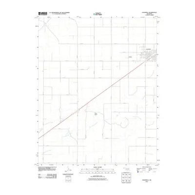
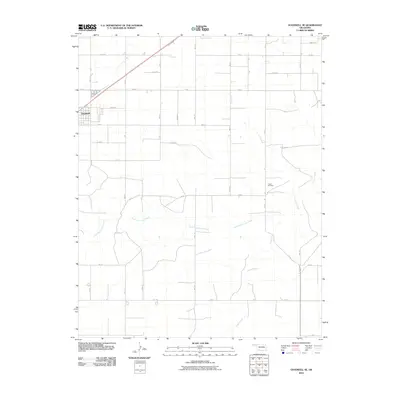
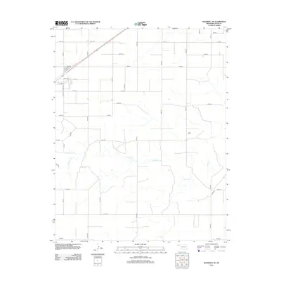
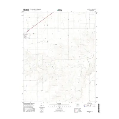
 2022 Goodwell SE2022 Print · USGSThe southeastern outskirts of Goodwell and the surrounding plains of Texas County are captured here in the early twenty-first century. Researchers can trace rural section lines and family sites near Frisco Cem or follow the path of Frisco Creek.
 - 2022 Map of Goodwell, 2022 Print
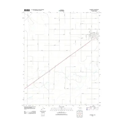
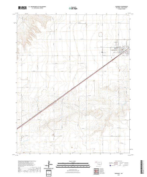 2022 Goodwell2022 Print · USGSThe Oklahoma Panhandle is shown in modern detail, focusing on the university town of Goodwell as it exists today. Genealogists and researchers can trace the town’s residential expansion and locate specific sites like Oklahoma Panhandle State University and the Goodwell Cem.
End of results
Showing maps 1-15 of 15
Top cities near Goodwell
Top neighborhoods of Goodwell
- Hall historical maps
- Kelly historical maps
- Kelly Reserve historical maps
- Olson historical maps
- Park Place Goodwell historical maps
- Stump historical maps
See more
Frequently asked questions
- What are the different types of historical maps available for Goodwell?
- What is the oldest map of Goodwell?
- Where can I purchase historical maps of Goodwell for my home or office?
- Where can I download high-res historical maps of Goodwell?
- Are there historical topographic maps available for Goodwell?
- Is there historical aerial imagery available for Goodwell?
- Where are historical maps of Goodwell sourced from?