2020s Maps of Washita County, Oklahoma
Explore 28 historic maps of Washita County from the 2020s. These maps offer a rare glimpse into what life looked like during the 2020s — showing old roads, neighborhoods, homes, and landmarks that have changed or disappeared over time.
Whether you're researching your family's past, planning a metal detecting trip, or studying how Washita County's landscape evolved across the 2020s, these high-resolution maps are a powerful tool for exploring the history of this region.
- Focus on a specific era: All maps on this page are from the 2020s, giving you a focused view of this time period.
- See what’s changed: Compare century-old streets, trails, and buildings to today's modern landscape using overlays and satellite layers.
- Research with precision: Use these maps for genealogy, historical research, land use analysis, or educational projects.
- View, download, or print: Maps are fully viewable online in high resolution, and can be downloaded or printed for your own records.
Start exploring Washita County's history through authentic maps from the 2020s. This is your window into the past.
Washita County, OK maps
(28)- 2022 Map of Sentinel, 2022 Print
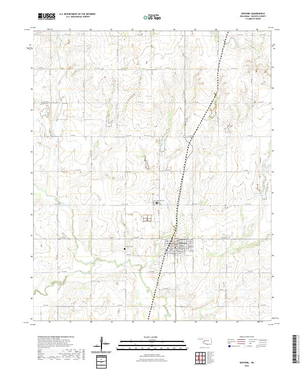 2022 Sentinel2022 Print · USGSThe community of Sentinel and its surrounding prairie landscape are shown here in recent detail. Genealogists and local historians can locate the Sentinel Cem, the rural Huckleby Cem, and waterways like Spring Cr and Elk Cr.
 - 2022 Map of Carnegie, 2022 Print
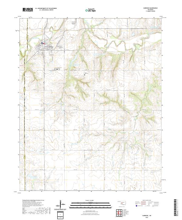 2022 Carnegie2022 Print · USGSCarnegie and the Washita River valley are captured in this modern survey, showing the intersection of Caddo, Washita, and Kiowa counties. Local researchers can locate family plots at Carnegie Cem or trace water management at Saddle Mountain Site 3 Reservoir.
 - 2022 Map of Elk City SE, 2022 Print
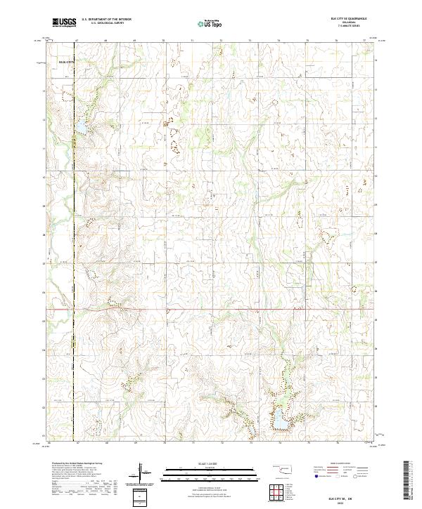 2022 Elk City SE2022 Print · USGSWashita and Beckham Counties are shown here during the early twenty-first century, a landscape defined by its grid of prairie roads and creek drainages. Genealogists and local researchers can trace family land positions near Elk City and along the banks of Trail Cr and George Cr.
 - 2022 Map of Lake Valley, 2022 Print
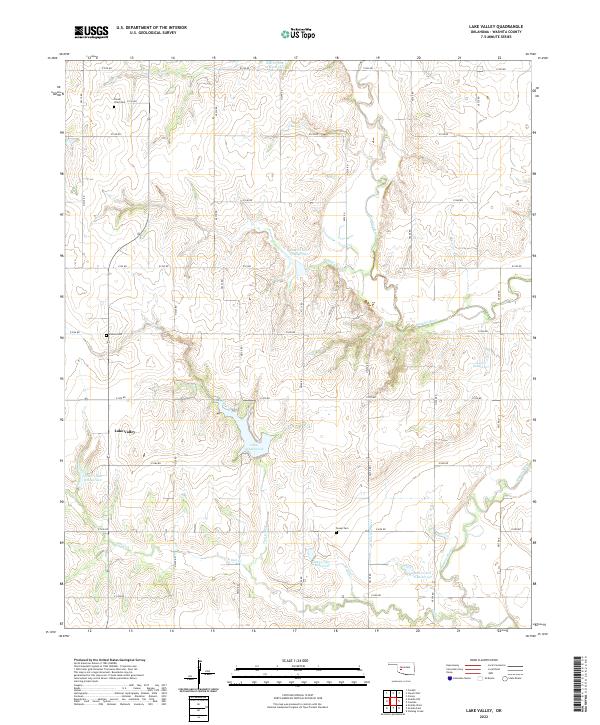 2022 Lake Valley2022 Print · USGSWashita County in the modern era is defined by its agricultural section lines and an extensive network of flood control reservoirs. Researchers can locate family burial sites at Cloud Chief Cem and Sharon Cem or trace the drainage of Lake Vanderwork.
 - 2022 Map of Dill City NE, 2022 Print
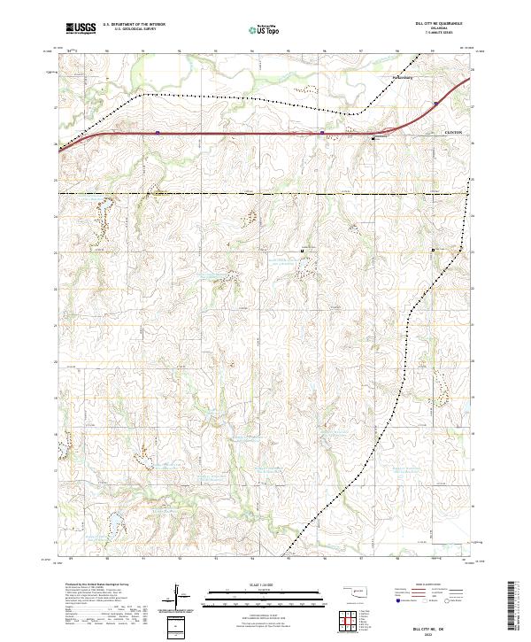 2022 Dill City NE2022 Print · USGSWashita County and Custer County meet on the western edge of Clinton in the early 2020s. Researchers can trace land tracts near the Washita River and locate family history at Parkersburg Cem, Lutheran Cem, and Guy Cem.
 - 2022 Map of Colony, 2022 Print
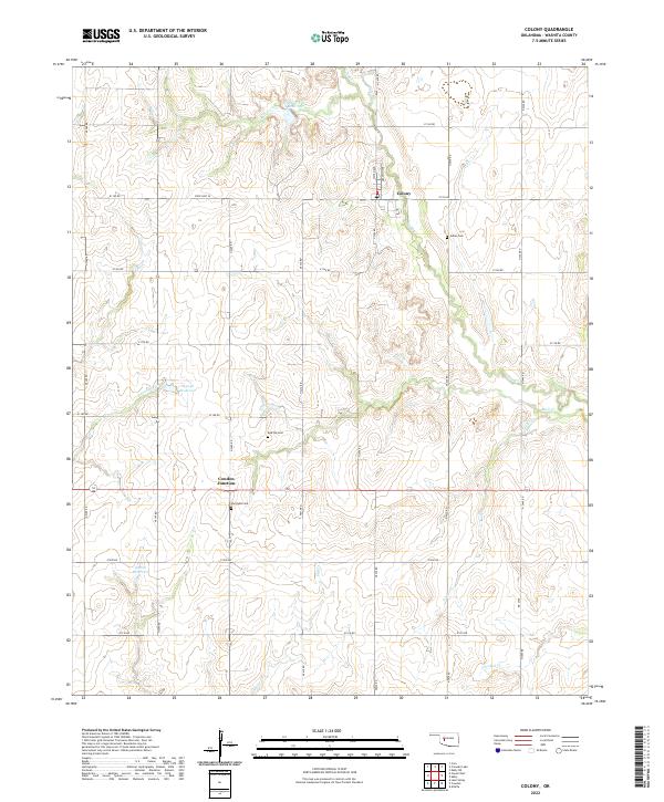 2022 Colony2022 Print · USGSThe community of Colony and the surrounding Washita County plains are detailed here during the early twenty-first century. Genealogists and historians can locate several rural burial sites, including the Indian Cem, Red Top Cem, and Van Dyke Cem.
 - 2022 Map of Eakly, 2022 Print
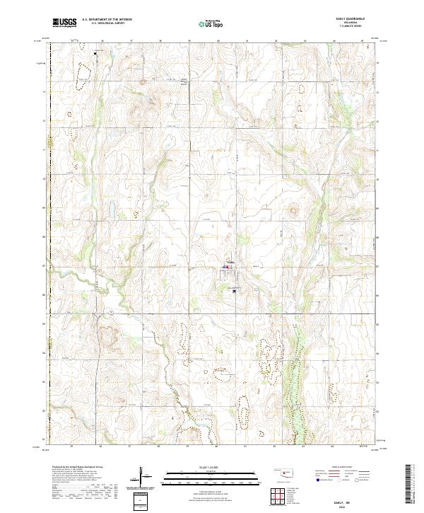 2022 Eakly2022 Print · USGSCaddo County's agricultural heartland is documented here in the early 2020s, centered on the settlement of Eakly. Researchers can trace local heritage at the Eakly Cem and Poage Cem or follow the natural drainage of Cobb Cr and Fivemile Cr.
 - 2022 Map of Corn, 2022 Print
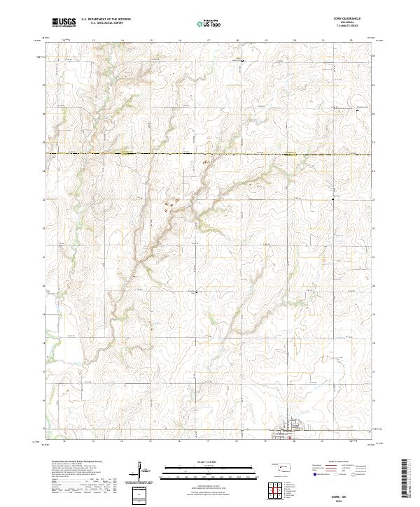 2022 Corn2022 Print · USGSThe community of Corn and the rural borderlands of Washita and Custer Counties are captured here in the twenty-first century. Researchers can trace the section-line roads to early burial grounds like Zion Cem, Bergthal Cem, and the winding Washita River.
 - 2022 Map of Gotebo West, 2022 Print
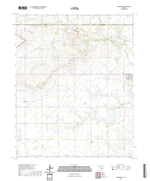 2022 Gotebo West2022 Print · USGSThe borderlands of Washita and Kiowa counties are shown here as they appeared in the early 2020s. Researchers can trace the layout of Gotebo and Komalty or locate family markers at Wyatt Cem and landmarks like Tanny Hill.
 - 2022 Map of Dill City, 2022 Print
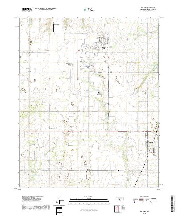 2022 Dill City2022 Print · USGSWestern Oklahoma’s aviation and agricultural heritage is on full display in this modern survey of the Washita County plains. Researchers can trace family history at Novis Cem and Boggy Cem or study the sprawling layout of Clinton-Sherman Airport.
 - 2022 Map of Cambridge, 2022 Print
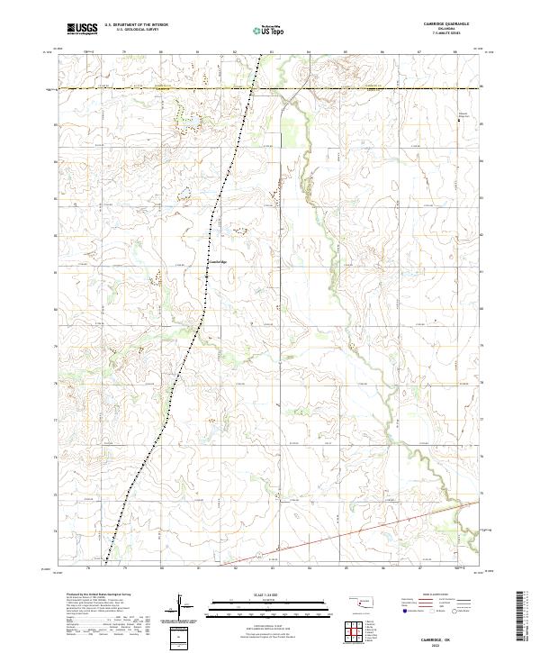 2022 Cambridge2022 Print · USGSOklahoma's southwestern plains are captured in this modern survey of the Kiowa and Washita county line. Researchers can trace the drainage of Elk Cr as it winds past the settlement of Cambridge, following the section-line roads of the agricultural grid.
 - 2022 Map of Hobart, 2022 Print
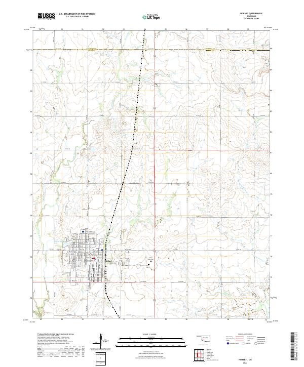 2022 Hobart2022 Print · USGSOklahoma's Kiowa County prairie is documented here in the early twenty-first century, centered on the historic county seat of Hobart. Genealogists and researchers can pinpoint the Kiowa County Courthouse, Hobart Rose Cem, and family locations along the extensive section-line road network.
 - 2022 Map of Retrop, 2022 Print
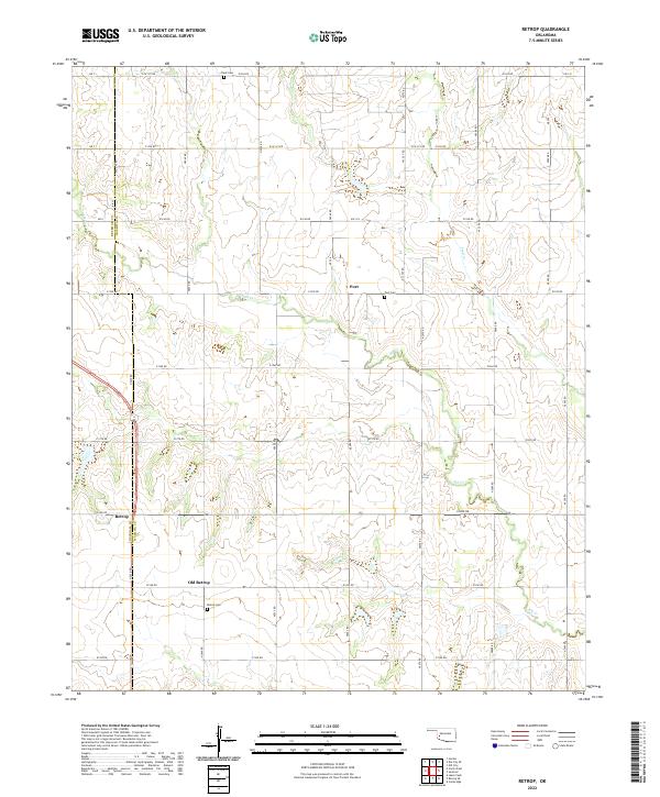 2022 Retrop2022 Print · USGSWashita and Beckham counties meet in this western Oklahoma landscape during the early twenty-first century. Genealogists can trace family roots through sites like Old Retrop, Port Cem, and Retrop Cem while following the bends of Elk Cr.
 - 2022 Map of Retrop SE, 2022 Print
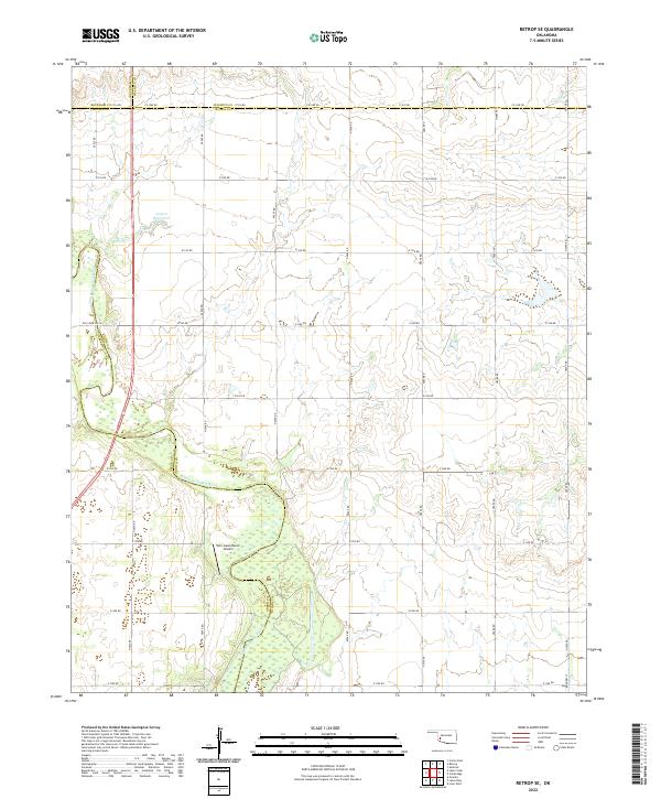 2022 Retrop SE2022 Print · USGSThe rural borderlands of southwest Oklahoma are charted here in the early twenty-first century, where four counties converge. Genealogists can trace family lands along Co Line Rd or near the North Fork Red River and Twin Lakes Ranch.
 - 2022 Map of Dill City SE, 2022 Print
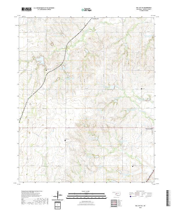 2022 Dill City SE2022 Print · USGSWashita County in the early 2020s shows a landscape defined by traditional section-line farming and modern watershed management. Genealogists can locate several local burial sites like Old Boggy Cem, Dugford Cem, and Sod Cem among the many conservation reservoirs.
 - 2022 Map of Cordell, 2022 Print
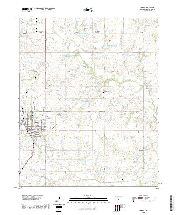 2022 Cordell2022 Print · USGSNew Cordell and its surrounding farmland are captured here in the early twenty-first century as the regional center of Washita County. Researchers can trace family history through local landmarks like the Washita County Courthouse and rural sites including the Sichar Cem and Brethren Cem.
 - 2022 Map of Cloud Chief, 2022 Print
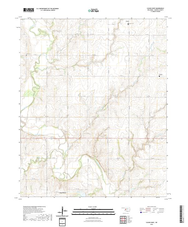 2022 Cloud Chief2022 Print · USGSWashita County, Oklahoma, is shown in the early 2020s as a landscape of river bends and rural settlements. Researchers can locate family heritage sites like Shelley Cem and Pleasant View Cem near the banks of the Washita River.
 - 2022 Map of Stinking Creek, 2022 Print
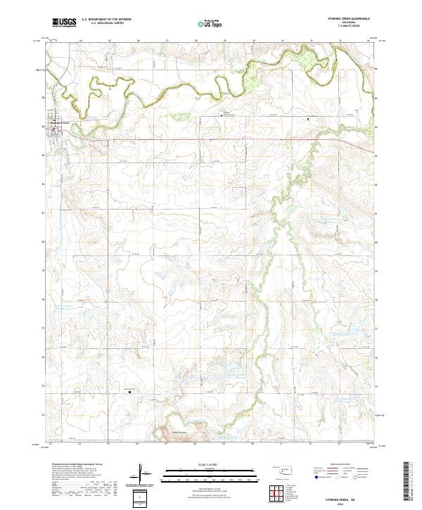 2022 Stinking Creek2022 Print · USGSThe Oklahoma plains around Mountain View are shown in detail here, where the Washita River meets a network of managed water basins. Genealogists and local historians can locate the Anquoe Memorial Cemetery, Samone Cemetery, and Zodletone Mountain.
 - 2022 Map of Foss, 2022 Print
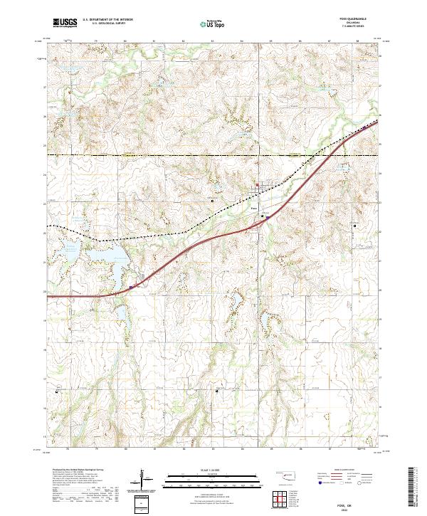 2022 Foss2022 Print · USGSWestern Oklahoma agriculture and water management are on full display in this study of the Foss area. Researchers can trace rural lineages through local burial grounds like Old Foss Cem and Saint Francis Cem while exploring the engineered network of Clinton Lake and surrounding reservoirs.
 - 2022 Map of Rocky, 2022 Print
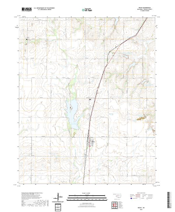 2022 Rocky2022 Print · USGSThe community of Rocky and the surrounding Washita County plains are shown in the early 2020s as a landscape of structured agriculture and water management. Researchers can trace rural burial sites at Liberty Bell Cem and Grissom Cem, or locate landmarks around Lake Hobart.
 - 2022 Map of Crowder Lake, 2022 Print
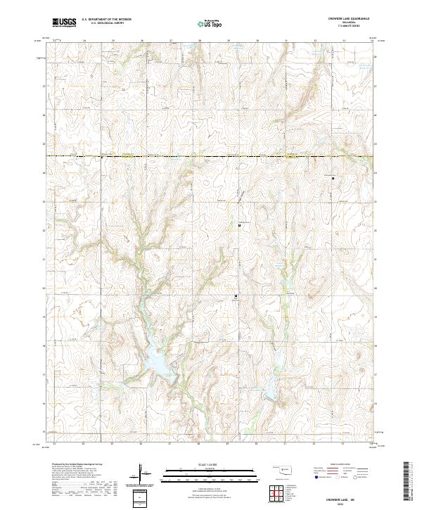 2022 Crowder Lake2022 Print · USGSWashita and Custer Counties are shown here in the early twenty-first century, characterized by a grid of rural section roads and numerous water reservoirs. Genealogists and local researchers can trace family landmarks at Missouri Cem, Plainview Cem, and the waters of Crowder Lake.
 - 2022 Map of Gotebo East, 2022 Print
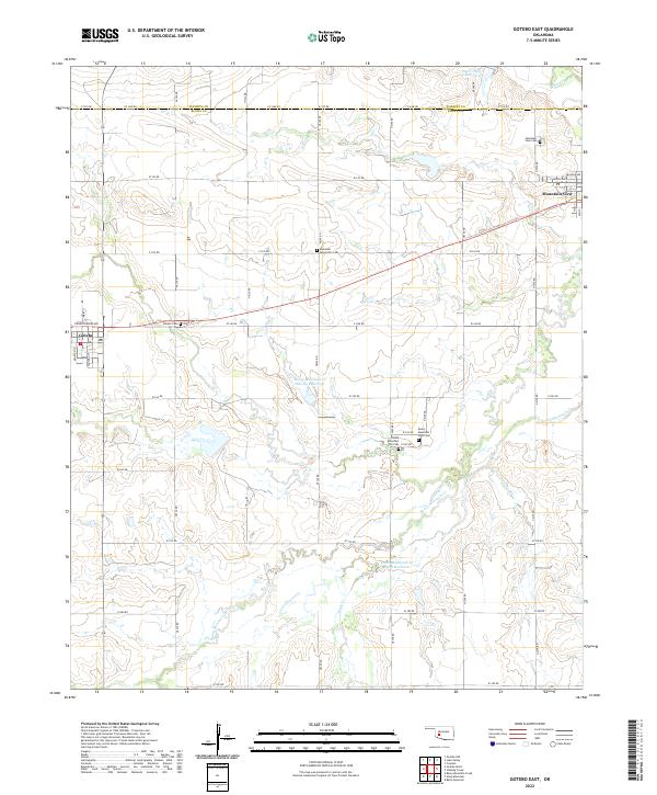 2022 Gotebo East2022 Print · USGSKiowa and Washita counties are shown here in the early twenty-first century, centered on the rural settlements along State Highway 9. Researchers can locate numerous pioneer and community burial grounds, including Rainy Mountain Old Cem, Ebenezer Mennonite Cem, and Mountain View Cem.
 - 2022 Map of Eakly NE, 2022 Print
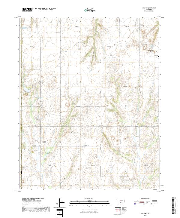 2022 Eakly NE2022 Print · USGSCaddo County's agricultural landscape is documented here in the early twenty-first century, featuring a grid of section-line roads and prairie landmarks. Genealogists and local historians can locate Mound Valley Cem and prominent local features like Dead Woman Mound and Ghost Mound.
 - 2022 Map of Bessie, 2022 Print
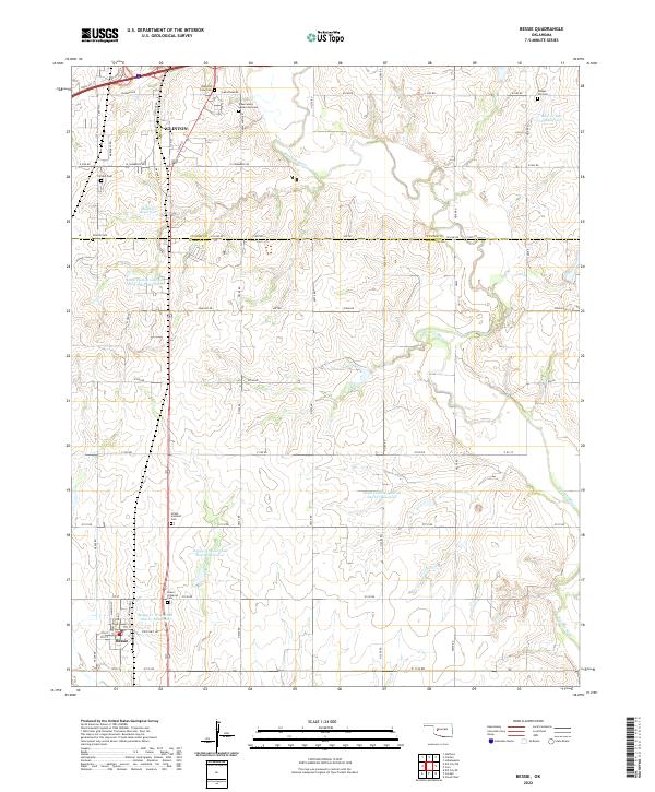 2022 Bessie2022 Print · USGSBessie and southern Clinton are mapped here at the dawn of the 2020s, showing a landscape defined by the Washita River and a dense network of local cemeteries. Genealogists can trace several burial sites including the John Old Crow Cem and Peace Lutheran Cem.
 - 2022 Map of Gotebo NW, 2022 Print
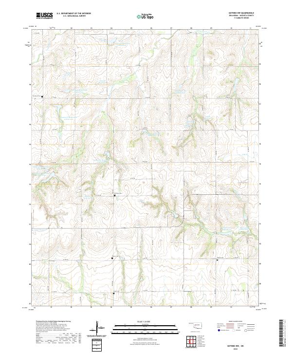 2022 Gotebo NW2022 Print · USGSWashita County's rural section lines and watershed projects come into focus in this contemporary survey of the Oklahoma plains. Genealogists and local historians can locate several family burial sites including Strickland Cem, Salem Cem, and Elm Flat Cem.
Showing maps 1-25 of 28
Top cities of Washita County
- New Cordell historical maps
- Burns Flat historical maps
- Sentinel historical maps
- Corn historical maps
- Canute historical maps
- Dill City historical maps
See more
Frequently asked questions
- What are the different types of historical maps available for Washita County?
- What is the oldest map of Washita County?
- Where can I purchase historical maps of Washita County for my home or office?
- Where can I download high-res historical maps of Washita County?
- Are there historical topographic maps available for Washita County?
- Is there historical aerial imagery available for Washita County?
- Where are historical maps of Washita County sourced from?