2010s Maps of Washita County, Oklahoma
Explore 107 historic maps of Washita County from the 2010s. These maps offer a rare glimpse into what life looked like during the 2010s — showing old roads, neighborhoods, homes, and landmarks that have changed or disappeared over time.
Whether you're researching your family's past, planning a metal detecting trip, or studying how Washita County's landscape evolved across the 2010s, these high-resolution maps are a powerful tool for exploring the history of this region.
- Focus on a specific era: All maps on this page are from the 2010s, giving you a focused view of this time period.
- See what’s changed: Compare century-old streets, trails, and buildings to today's modern landscape using overlays and satellite layers.
- Research with precision: Use these maps for genealogy, historical research, land use analysis, or educational projects.
- View, download, or print: Maps are fully viewable online in high resolution, and can be downloaded or printed for your own records.
Start exploring Washita County's history through authentic maps from the 2010s. This is your window into the past.
Washita County, OK maps
(107)- 2010 Map of Gotebo East, 2010 Print
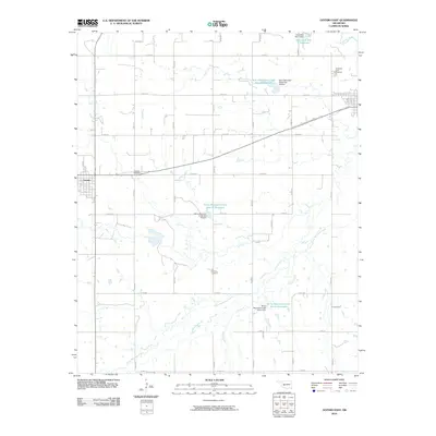 2010 Gotebo East2010 Print · USGSKiowa County farming communities are captured here in the early twenty-first century, showing a landscape defined by a grid of section roads and water management. Trace family history at the Gotebo Cemetery and Mountain View Cemetery, or follow the winding course of the Washita River.
 - 2010 Map of Lake Valley, 2010 Print
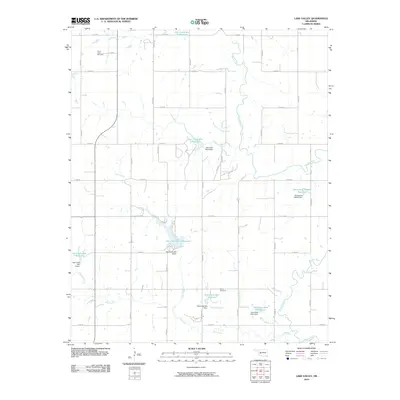 2010 Lake Valley2010 Print · USGSWashita County's agricultural landscape is documented here in the early twenty-first century, showing a region transformed by extensive water management. Researchers can locate ancestral sites at Cloud Chief Cemetery or trace the drainage of Trail Elk Creek and Wild Cat Creek.
 - 2010 Map of Retrop, 2010 Print
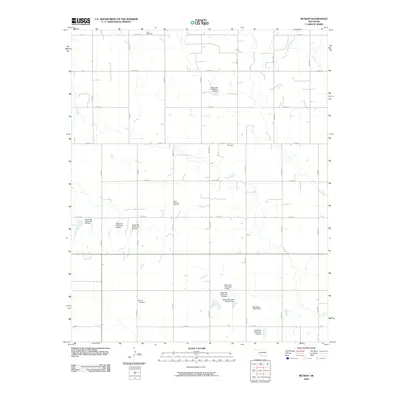 2010 Retrop2010 Print · USGSWashita County’s prairie landscape is defined by its rural cemeteries and complex water management systems in this recent survey. Researchers can locate family burial sites at Retrop Cemetery or Port Cemetery and trace the extensive network of flood control dams along Elk Creek.
 - 2010 Map of Cambridge, 2010 Print
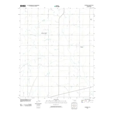 2010 Cambridge2010 Print · USGSOklahoma's southwestern plains appear here in the early twenty-first century, showing a landscape defined by section-line roads and prairie creek beds. Genealogists and local historians can locate Pleasant Ridge Cemetery and trace the winding courses of Elk Creek and Tepee Creek.
 - 2010 Map of Cloud Chief, 2010 Print
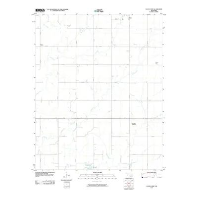 2010 Cloud Chief2010 Print · USGSWashita County at the start of the 2010s shows a landscape of enduring family farms and carefully managed prairie waterways. Researchers can locate local landmarks like Shelley Cemetery, Brethren Cemetery, and the engineering at Oak Creek Site 10 Dam.
 - 2010 Map of Corn, 2010 Print
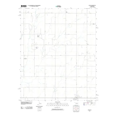 2010 Corn2010 Print · USGSWashita County's agricultural heartland is documented here in the early twenty-first century, centered on the settlement of Corn. Local researchers can locate family heritage sites like Krimmer Cemetery or trace the drainage of Gyp Creek and Coffee Creek.
 - 2010 Map of Elk City SE, 2010 Print
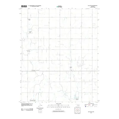 2010 Elk City SE2010 Print · USGSWestern Oklahoma land management and a grid of rural section-line roads define the Beckham County landscape in this 2010 survey. Genealogists and local historians can trace the hydrology and engineered sites along Elk Creek, including Upper Elk Creek Site 15 Dam and the area noted as Forty One.
 - 2010 Map of Foss, 2010 Print
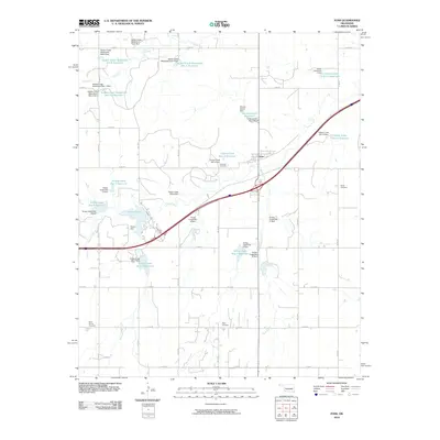 2010 Foss2010 Print · USGSWashita County is captured in the early 2000s, showing a landscape defined by its managed waterways and rural crossroads. Researchers can locate burial sites like Old Foss Cemetery and trace the extensive watershed system including Clinton Lake.
 - 2010 Map of Canute, 2010 Print
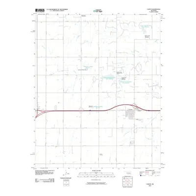 2010 Canute2010 Print · USGSCanute and the surrounding Beckham County plains are documented here just as the modern highway system overtook the legendary Route 66 corridor. Genealogists and local historians can locate early burial sites like Holy Family Cemetery and Hebron Cemetery or trace the drainage of Oak Creek.
 - 2010 Map of Dill City, 2010 Print
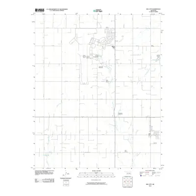 2010 Dill City2010 Print · USGSWashita County settlement and aviation history are captured here in the early twenty-first century. Genealogists and local historians can trace rural family plots at Novis Cemetery and Boggy Cemetery, or explore the footprint of Burns Flat.
 - 2010 Map of Retrop SE, 2010 Print
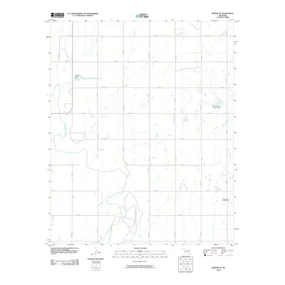 2010 Retrop SE2010 Print · USGSOklahoma's rural landscape is captured here in the early twenty-first century, centered on the winding North Fork Red River. Researchers can trace local land divisions and water management features like the Upper Elk Creek Site 41 Dam and Oknoname 075001 Reservoir.
 - 2010 Map of Dill City SE, 2010 Print
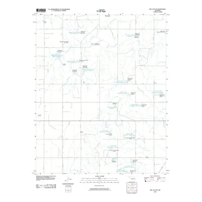 2010 Dill City SE2010 Print · USGSWashita County's agricultural landscape is seen here in the early twenty-first century, dominated by a vast network of watershed management sites. Genealogists can locate several historic burial grounds like Old Boggy Cemetery and Dugford Cemetery among the many reservoirs of Boggy Creek.
 - 2010 Map of Cordell, 2010 Print
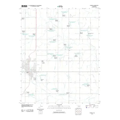 2010 Cordell2010 Print · USGSWashita County's agricultural heartland is documented here in the early twenty-first century, centered on the community of Cordell. Genealogists and local historians can trace family sites at Cordell Cemetery and Sichar Cemetery or study the regional water system of dams and reservoirs along Boggy Creek.
 - 2010 Map of Hobart, 2010 Print
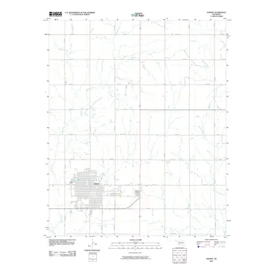 2010 Hobart2010 Print · USGSOklahoma's southwestern plains come into focus in this late-period survey of Kiowa County. Researchers can trace the street grid of Hobart and locate historical burials at Rose Cemetery or the small settlement of Brico to the north.
 - 2010 Map of Gotebo NW, 2010 Print
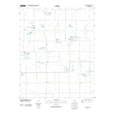 2010 Gotebo NW2010 Print · USGSWashita County in the early 2000s shows a landscape of precision water management and deep-rooted family history northwest of Gotebo. Researchers can locate several rural burial sites like Rainey Cemetery and Odessa Cemetery among a vast network of reservoirs including Cavalry Creek Site 4 Reservoir.
 - 2010 Map of Bessie, 2010 Print
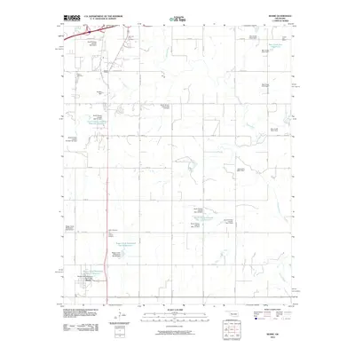 2010 Bessie2010 Print · USGSCuster County's agricultural heartland is documented here in the early twenty-first century, showing the intersection of rural life and water engineering. Researchers can locate several burial sites, including John Old Crow Cemetery, or trace local history at Chapel Hill School and Fransen Siding.
 - 2010 Map of Sentinel, 2010 Print
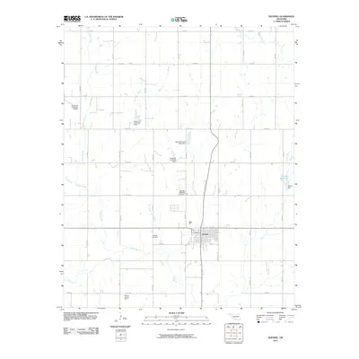 2010 Sentinel2010 Print · USGSSentinel and the surrounding Washita County prairie are captured here in the early twenty-first century. Genealogists and local historians can locate family plots at Sentinel Cemetery and Huckleby Cemetery or trace the watercourses of Elk Creek and Spring Creek.
 - 2010 Map of Stinking Creek, 2010 Print
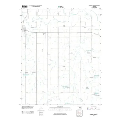 2010 Stinking Creek2010 Print · USGSKiowa County's rural landscape is captured here in the early 21st century, showing the evolved relationship between the prairie and the Washita River. Genealogists can locate several family-linked burial grounds, including Anquoe Memorial Cemetery and Samone Cemetery.
 - 2010 Map of Dill City NE, 2010 Print
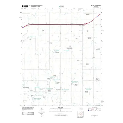 2010 Dill City NE2010 Print · USGSCuster County agricultural life and water management are on full display in this 2010 study of the Oklahoma plains. Researchers can trace rural landmarks including the Parkersburg School, Parkersburg Cemetery, and the extensive Boggy Creek reservoir system.
 - 2010 Map of Alfalfa, 2010 Print
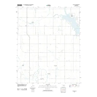 2010 Alfalfa2010 Print · USGSAlfalfa and the surrounding Caddo County plains are shown at the start of the decade, centered on a complex network of reservoirs and rural homesteads. Local researchers can locate Daugamah Cemetery, Botone Cemetery, and the expansive Fort Cobb Reservoir shoreline.
 - 2010 Map of Rocky, 2010 Print
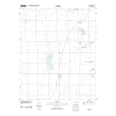 2010 Rocky2010 Print · USGSThe town of Rocky and its surrounding Washita County farmlands are documented here in the early twenty-first century. Researchers can locate family roots at Liberty Bell Cemetery and Lone Star Cemetery or trace the watershed near Lake Hobart.
 - 2010 Map of Gotebo West, 2010 Print
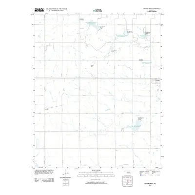 2010 Gotebo West2010 Print · USGSKiowa County's agricultural heartland is documented here in the early twenty-first century as a landscape of managed waterways and small plains towns. Genealogists and local historians can trace family roots at Wyatt Cemetery or examine the development of Gotebo and Komalty along the rural road network.
 - 2010 Map of Carnegie, 2010 Print
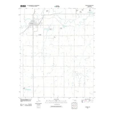 2010 Carnegie2010 Print · USGSCarnegie and the winding Washita River valley are captured here in the early twenty-first century, showing a landscape defined by prairie agriculture and water management. Genealogists and local historians can locate family sites near Carnegie Cemetery and Cedar Creek Cemetery.
 - 2012 Map of Dill City NE, 2012 Print
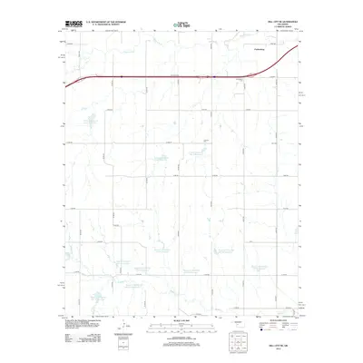 2012 Dill City NE2012 Print · USGSCuster County’s prairie landscape is captured here in the early twenty-first century, showing a region shaped by the Washita River and extensive watershed projects. Researchers can locate family sites near the Parkersburg Cem, Lutheran Cem, or the Guy Cem.
 - 2012 Map of Foss, 2012 Print
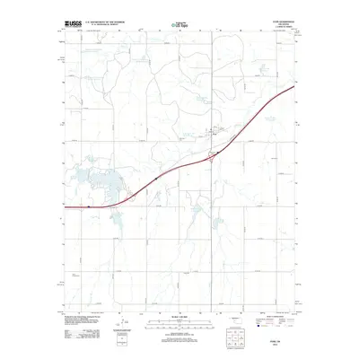 2012 Foss2012 Print · USGSOklahoma's western prairies are shown here in the early twenty-first century, centered on the grid of Foss and its extensive watershed management systems. Genealogists can trace family histories at Old Foss Cem, Kerns Cem, and Page Cem among the many reservoirs.
Showing maps 1-25 of 107
Top cities of Washita County
- New Cordell historical maps
- Burns Flat historical maps
- Sentinel historical maps
- Corn historical maps
- Canute historical maps
- Dill City historical maps
See more
Frequently asked questions
- What are the different types of historical maps available for Washita County?
- What is the oldest map of Washita County?
- Where can I purchase historical maps of Washita County for my home or office?
- Where can I download high-res historical maps of Washita County?
- Are there historical topographic maps available for Washita County?
- Is there historical aerial imagery available for Washita County?
- Where are historical maps of Washita County sourced from?