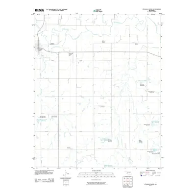
2010 Map of Stinking Creek
USGS Topo · Published 2010About this map
The Washita River winds through the northern portion of this landscape, anchoring a region defined by its water management and agricultural grid. Just south of the river, the community of Mountain View serves as a local hub, while the surrounding territory is mapped with an extensive network of reservoirs and flood control structures. These include the Rainy Mountain Creek Site 3 Reservoir to the west and the Saddle Mountain Site 11 Reservoir to the south, part of a broader system managed by dams like the Saddle Mountain Site 7 Dam.
Find a feature on this map
42 named features on this map. Tap any name to fly to it.
Don’t see what you’re looking for? This feature index may not catch every label — zoom into the map to look around manually.
Map Details
Editions of this 2010 Stinking Creek Map
This is the sole edition of this map. No revisions or reprints were ever made.
Other maps of this area

1949 · Cooperton
USGS Topo · 1:62,500

1950 · Saddle Mountain
USGS Topo · 1:62,500

1955 · Lawton
USGS Topo · 1:250,000

1955 · Clinton
USGS Topo · 1:250,000

1956 · Alden
USGS Topo · 1:24,000

1956 · Bally Mountain
USGS Topo · 1:24,000

1956 · Unap Mountain
USGS Topo · 1:24,000

1956 · Saddle Mountain
USGS Topo · 1:62,500

1956 · Cooperton
USGS Topo · 1:62,500

1957 · Clinton
USGS Topo · 1:250,000